Distance between  Cobram East and
  Warragul
151.05 mi Straight Distance
225.64 mi Driving Distance
3 hours 43 mins Estimated Driving Time
The straight distance between Cobram East (Victoria) and Warragul (Victoria) is 151.05 mi, but the driving distance is 225.64 mi.
It takes 4 hours 19 mins to go from Cobram East to Warragul.
Driving directions from Cobram East to Warragul
Distance in kilometers
Straight distance: 243.04 km. Route distance: 363.06 km
Cobram East, Australia
Latitude: -35.9801 // Longitude: 145.745
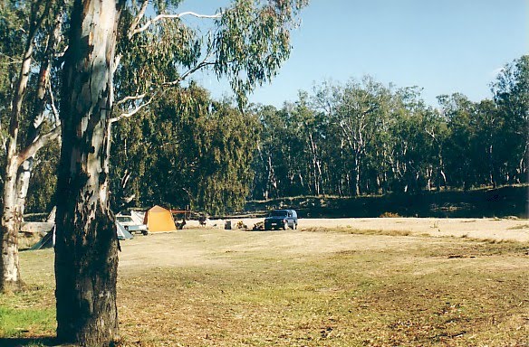
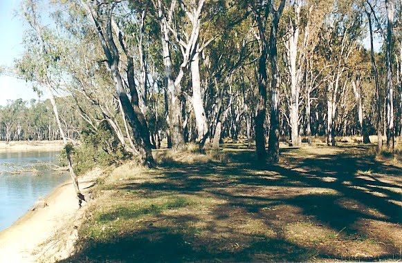
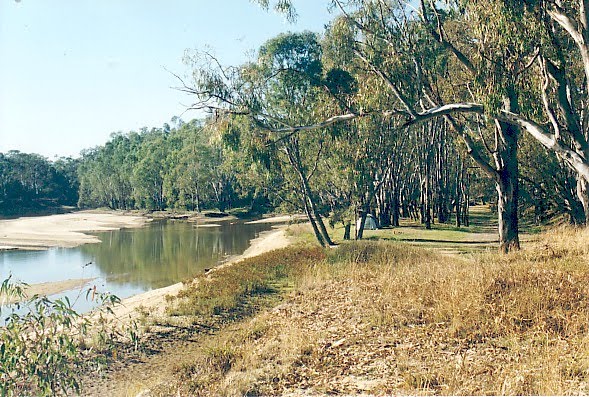
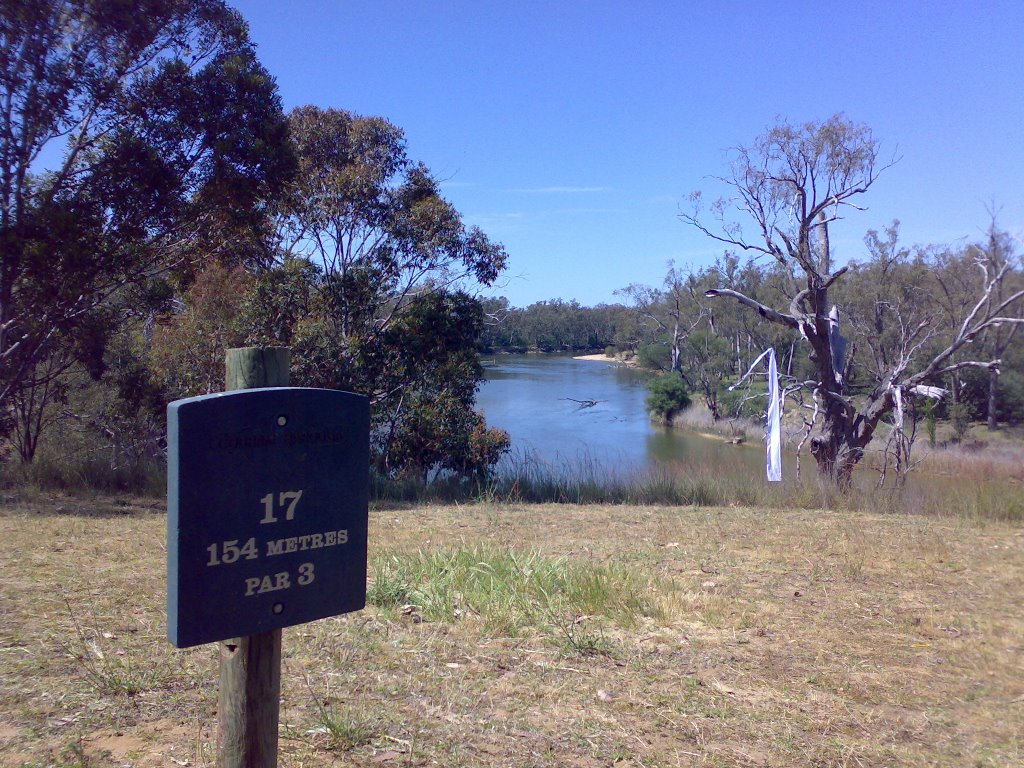
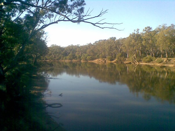
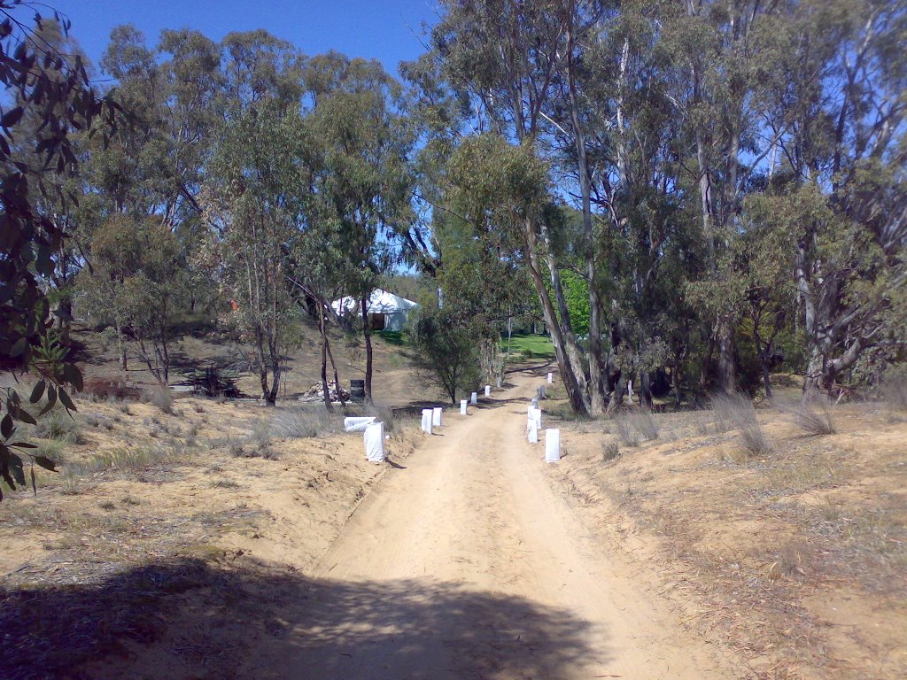
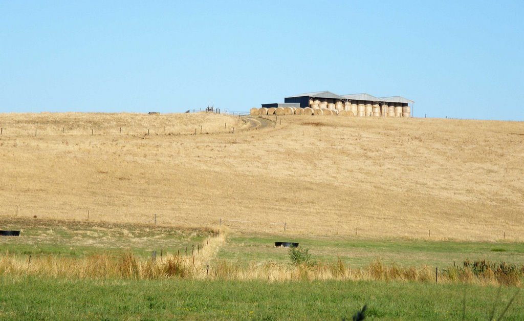
Photos of Cobram East
Cobram East Weather

Predicción: Broken clouds
Temperatura: 11.3°
Humedad: 92%
Hora actual: 12:00 AM
Amanece: 08:44 PM
Anochece: 07:47 AM
Warragul, Australia
Latitude: -38.1612 // Longitude: 145.932
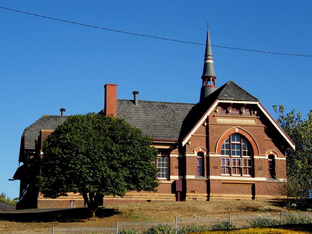
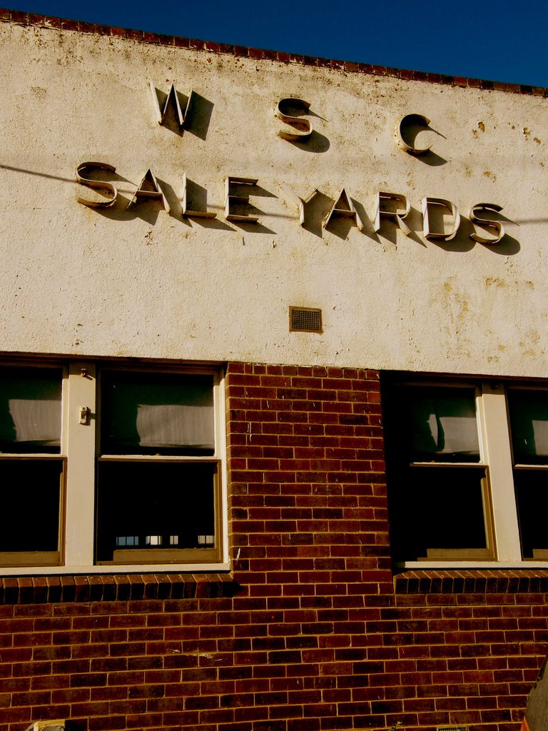
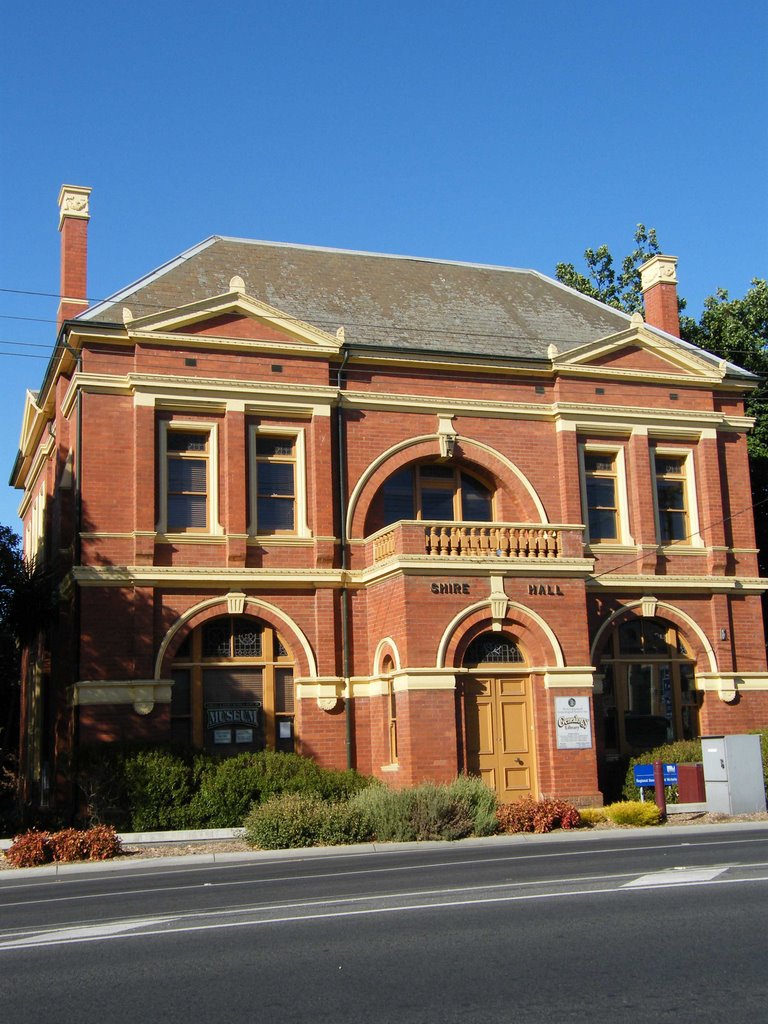
Photos of Warragul
Warragul Weather

Predicción: Scattered clouds
Temperatura: 11.1°
Humedad: 99%
Hora actual: 06:16 AM
Amanece: 06:47 AM
Anochece: 05:43 PM


