Distance between  Cobberas and
  Bundara
40.04 mi Straight Distance
67.33 mi Driving Distance
2 hours 27 mins Estimated Driving Time
The straight distance between Cobberas (Victoria) and Bundara (Victoria) is 40.04 mi, but the driving distance is 67.33 mi.
It takes 3 hours 14 mins to go from Cobberas to Bundara.
Driving directions from Cobberas to Bundara
Distance in kilometers
Straight distance: 64.42 km. Route distance: 108.33 km
Cobberas, Australia
Latitude: -36.8779 // Longitude: 148.076
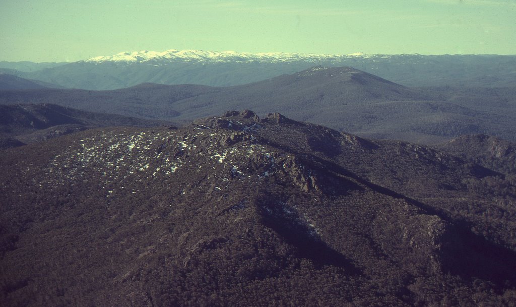
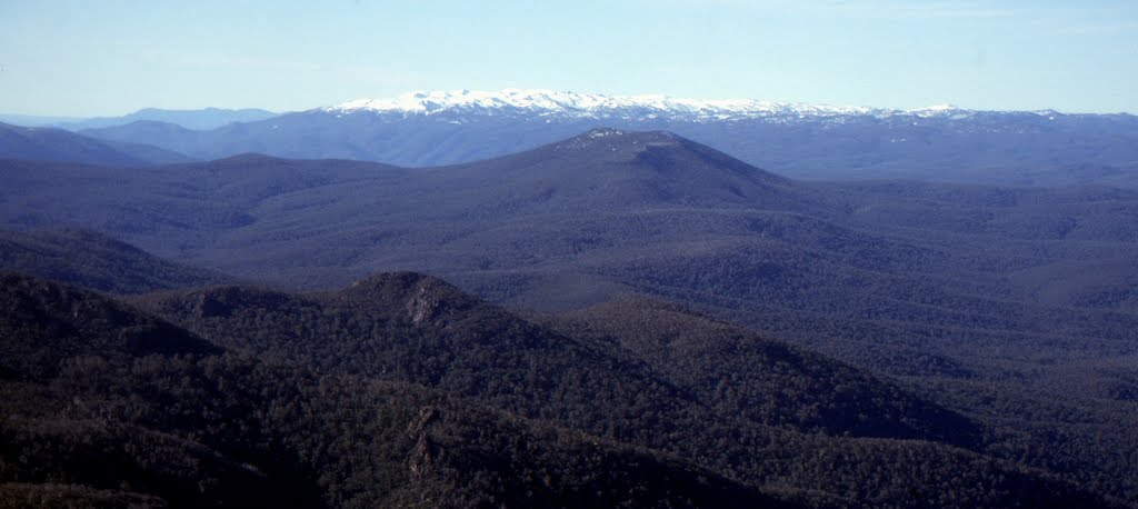
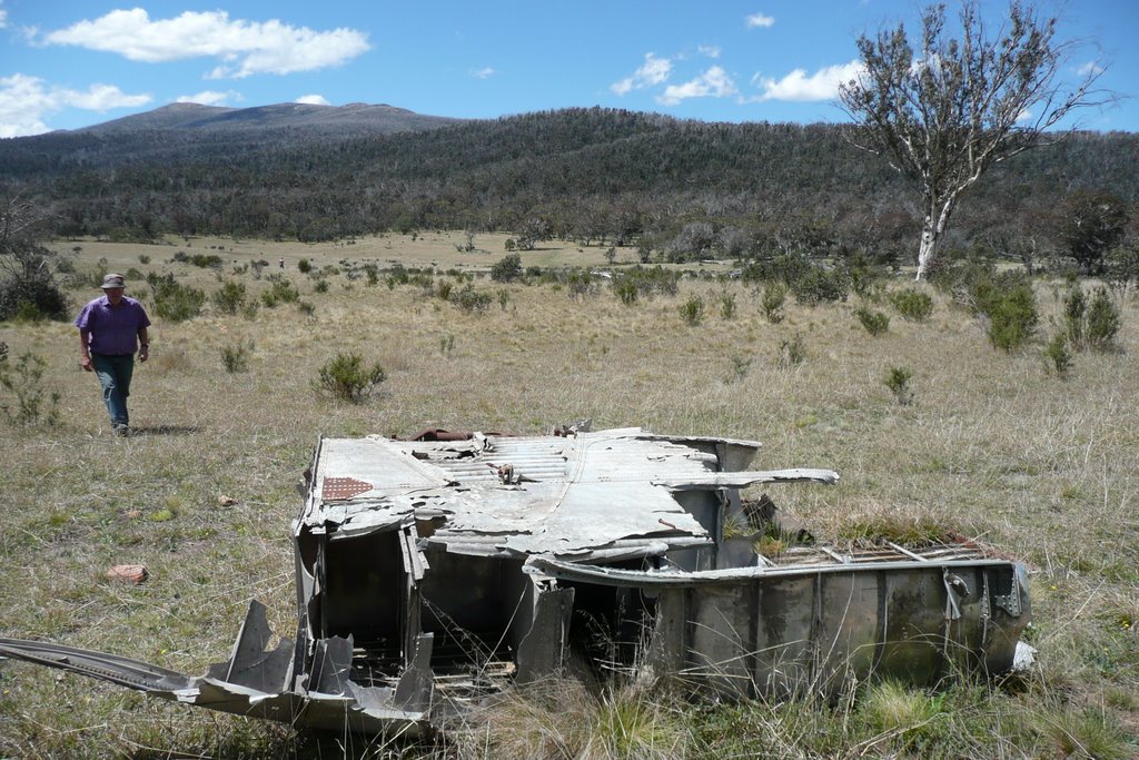
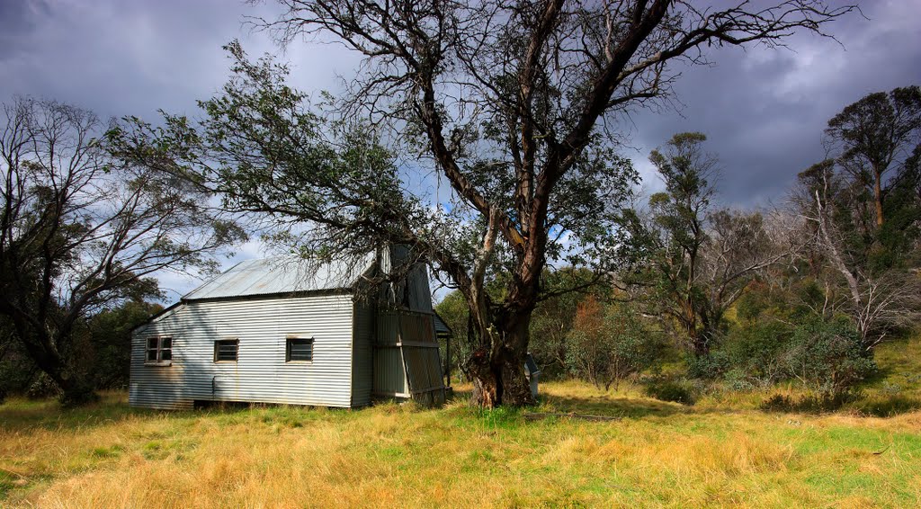
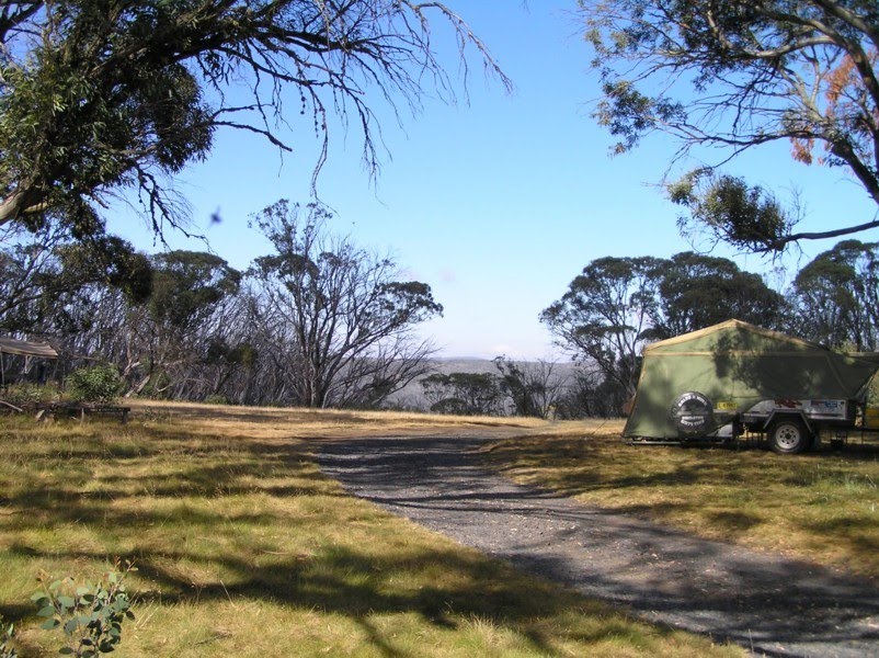
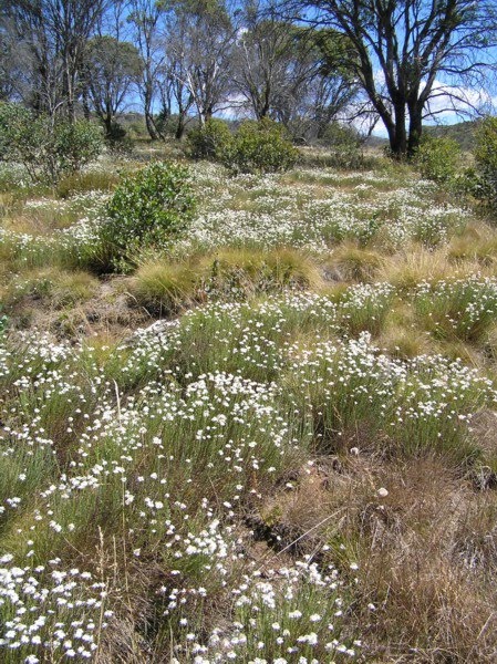
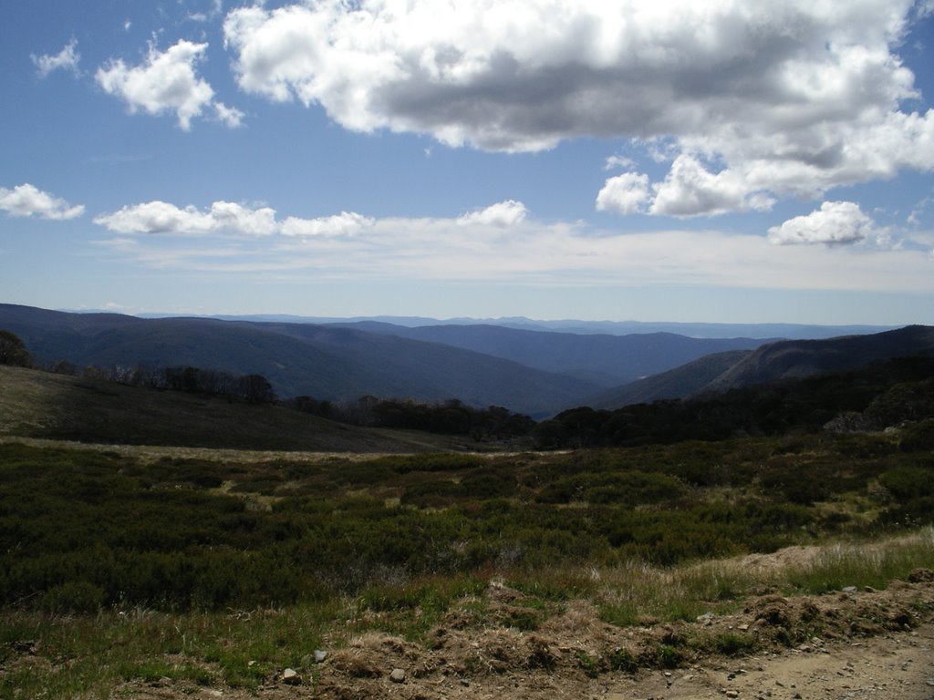
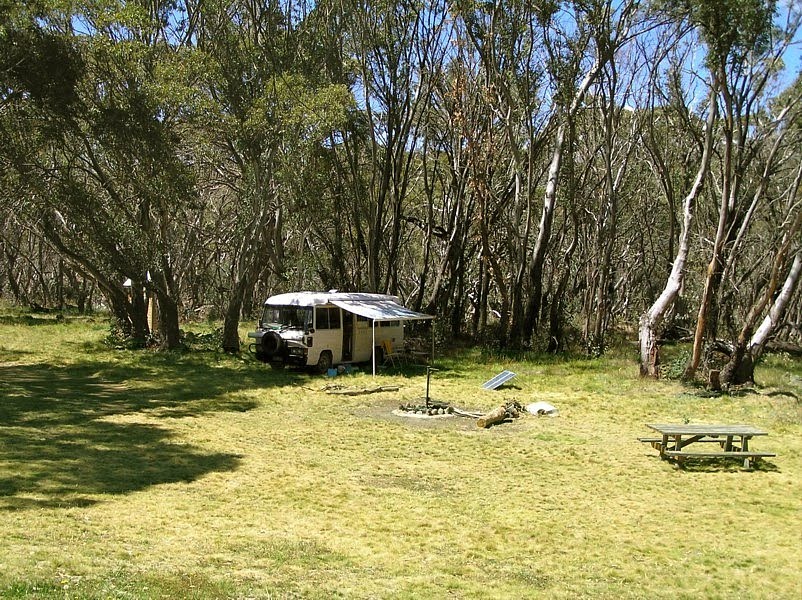
Photos of Cobberas
Cobberas Weather

Predicción: Scattered clouds
Temperatura: 11.9°
Humedad: 48%
Hora actual: 12:00 AM
Amanece: 08:37 PM
Anochece: 07:36 AM
Bundara, Australia
Latitude: -36.9507 // Longitude: 147.357
Photos of Bundara
Bundara Weather

Predicción: Broken clouds
Temperatura: 8.4°
Humedad: 56%
Hora actual: 12:00 AM
Amanece: 08:40 PM
Anochece: 07:38 AM


