Distance between  Cobargo and
  Mitchell
693.31 mi Straight Distance
855.66 mi Driving Distance
14 hours 25 mins Estimated Driving Time
The straight distance between Cobargo (New South Wales) and Mitchell (Queensland) is 693.31 mi, but the driving distance is 855.66 mi.
It takes to go from Cobargo to Mitchell.
Driving directions from Cobargo to Mitchell
Distance in kilometers
Straight distance: 1,115.54 km. Route distance: 1,376.76 km
Cobargo, Australia
Latitude: -36.3879 // Longitude: 149.888
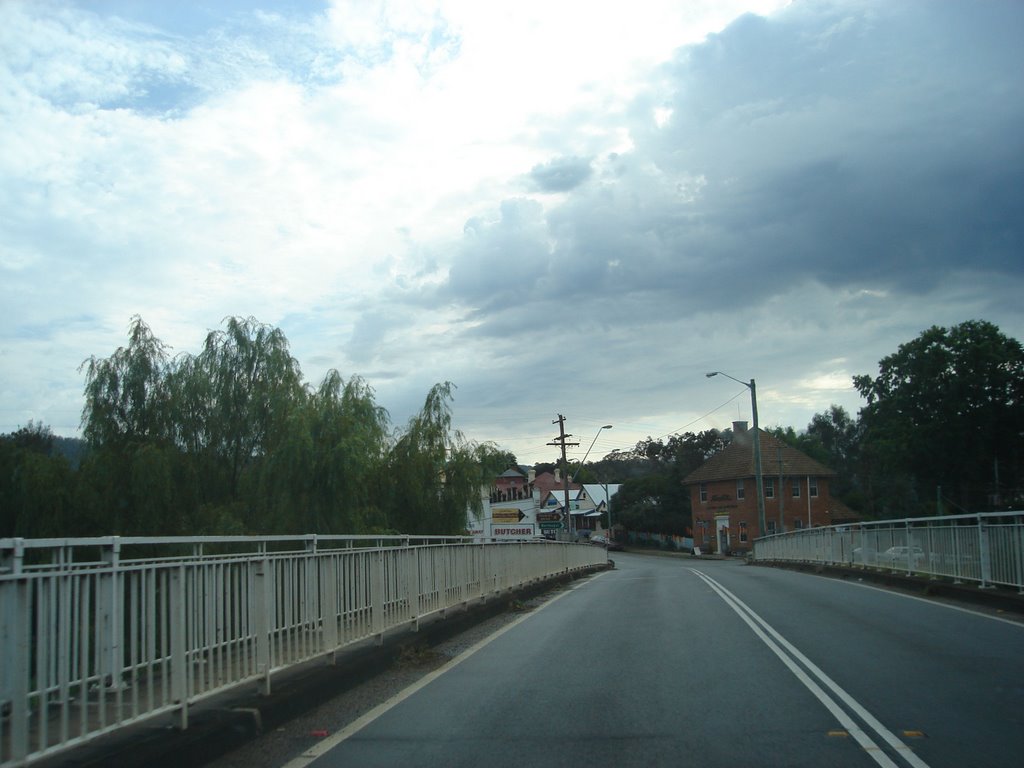
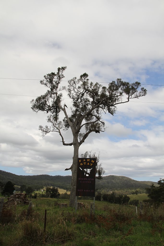
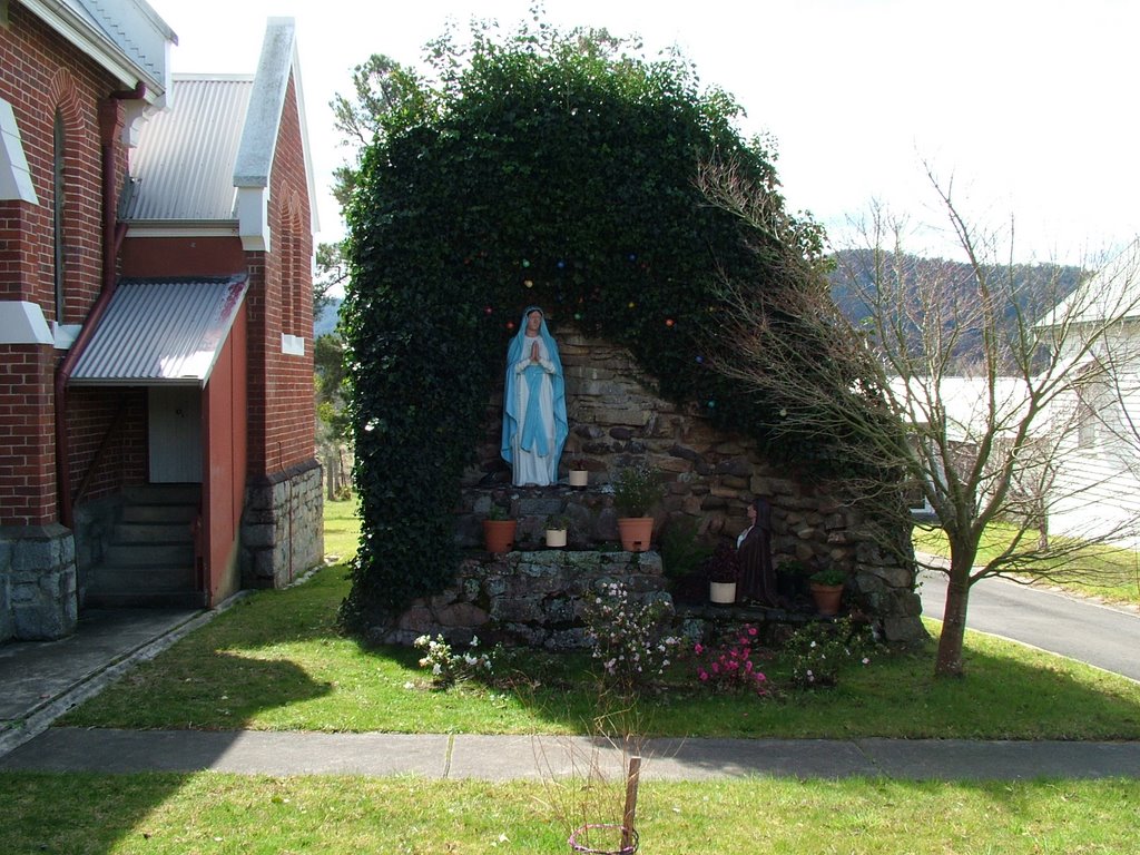
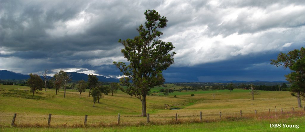
Photos of Cobargo
Cobargo Weather

Predicción: Broken clouds
Temperatura: 11.7°
Humedad: 85%
Hora actual: 03:30 AM
Amanece: 06:29 AM
Anochece: 05:29 PM
Mitchell, Australia
Latitude: -26.4858 // Longitude: 147.979
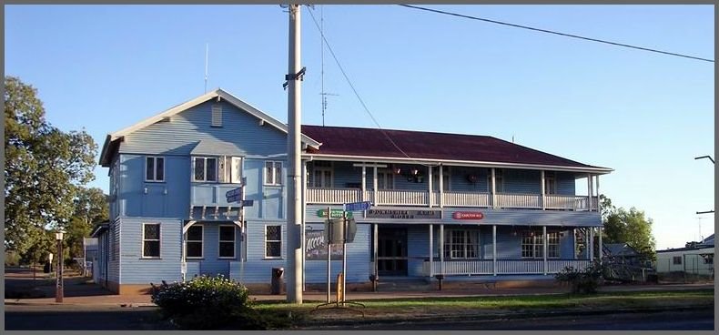
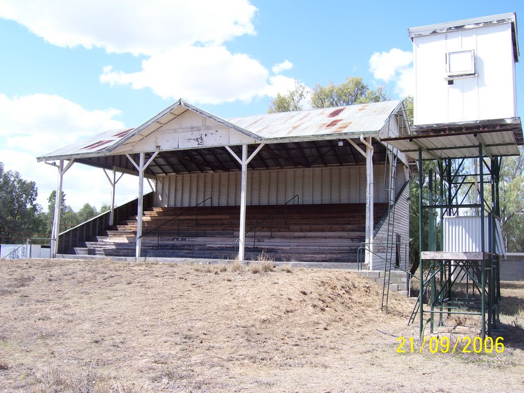
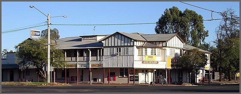
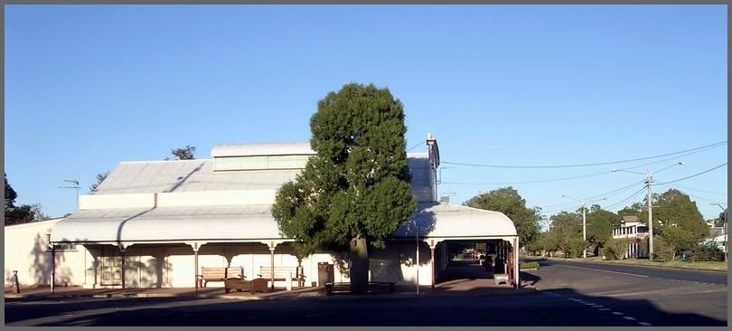
Photos of Mitchell
Mitchell Weather

Predicción: Clear sky
Temperatura: 17.3°
Humedad: 76%
Hora actual: 03:30 AM
Amanece: 06:26 AM
Anochece: 05:48 PM


