Distance between  Clifton and
  Bundaberg
213.73 mi Straight Distance
286.30 mi Driving Distance
5 hours 31 mins Estimated Driving Time
The straight distance between Clifton (Queensland) and Bundaberg (Queensland) is 213.73 mi, but the driving distance is 286.30 mi.
It takes 5 hours 40 mins to go from Clifton to Bundaberg.
Driving directions from Clifton to Bundaberg
Distance in kilometers
Straight distance: 343.90 km. Route distance: 460.66 km
Clifton, Australia
Latitude: -27.9331 // Longitude: 151.908
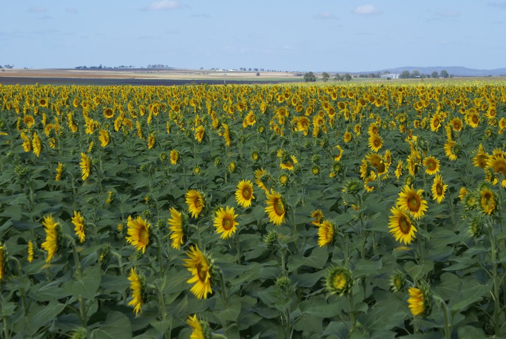
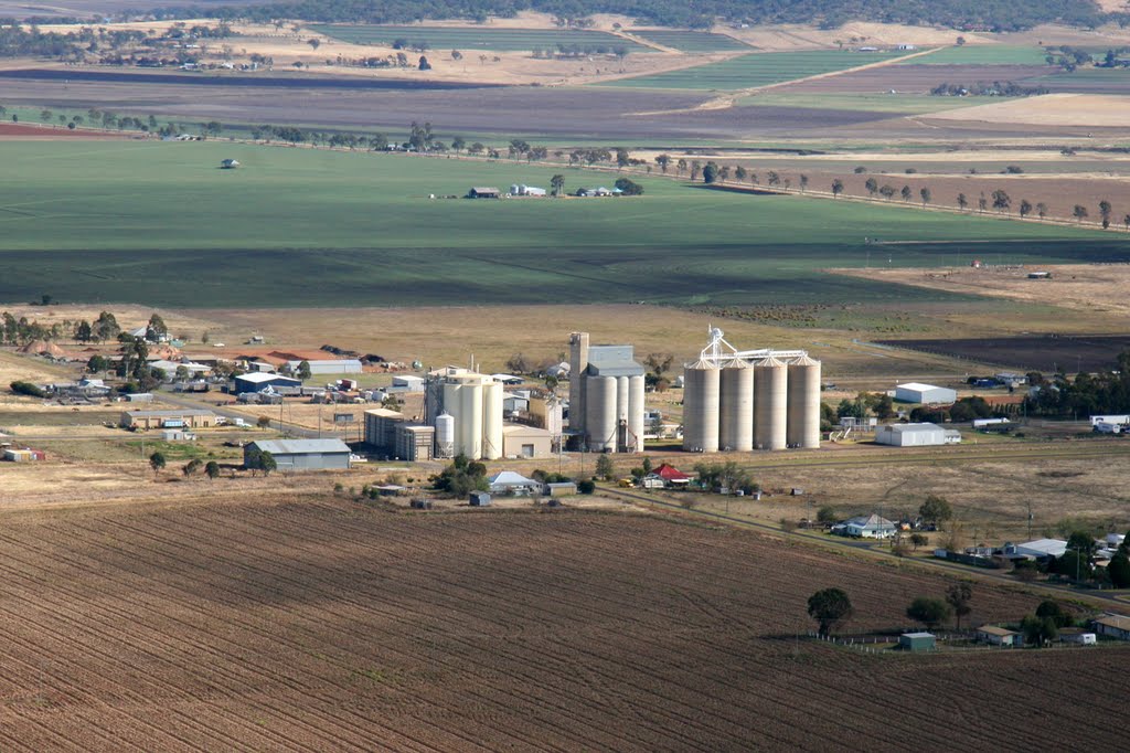
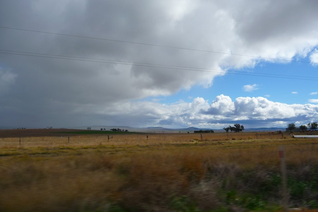
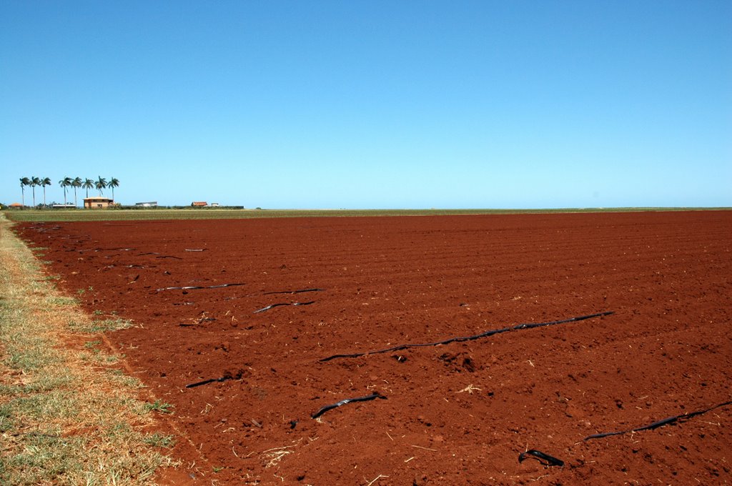
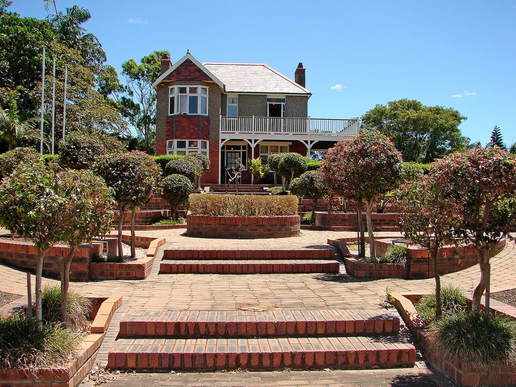
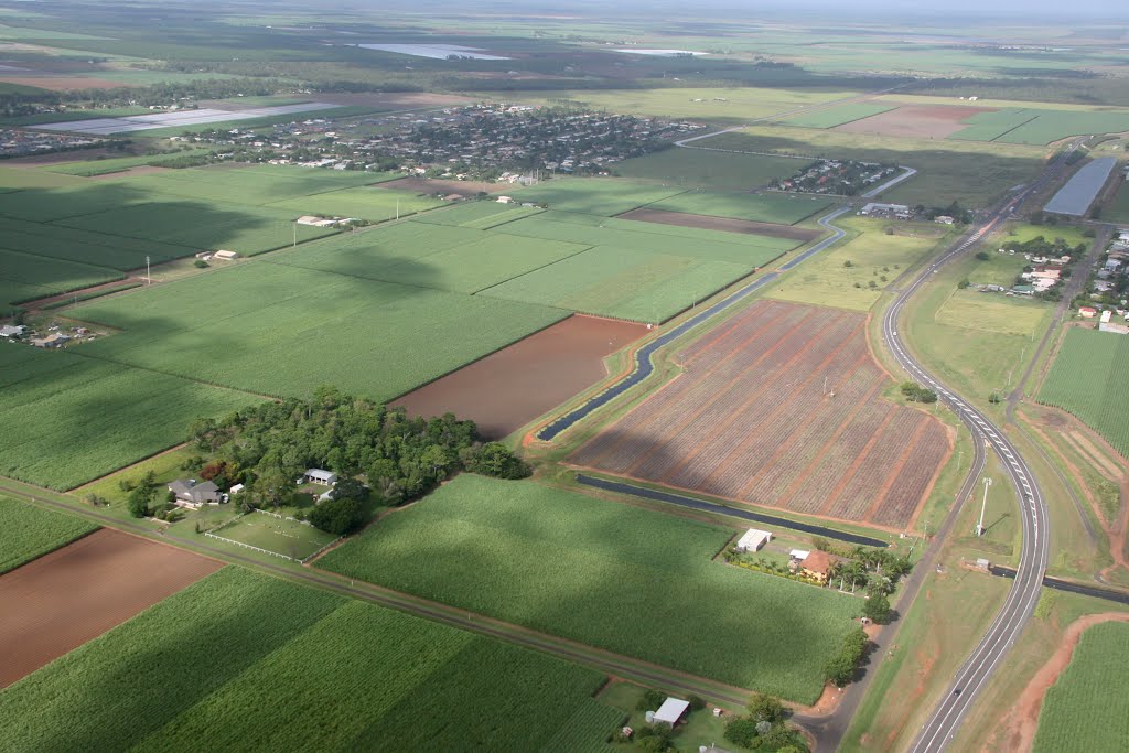
Photos of Clifton
Clifton Weather

Predicción: Clear sky
Temperatura: 23.2°
Humedad: 40%
Hora actual: 11:05 AM
Amanece: 06:11 AM
Anochece: 05:31 PM
Bundaberg, Australia
Latitude: -24.865 // Longitude: 152.349
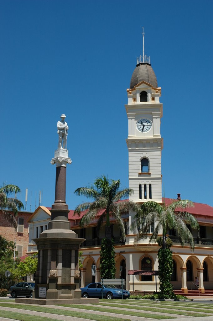
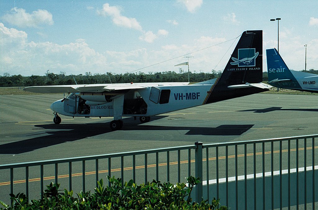
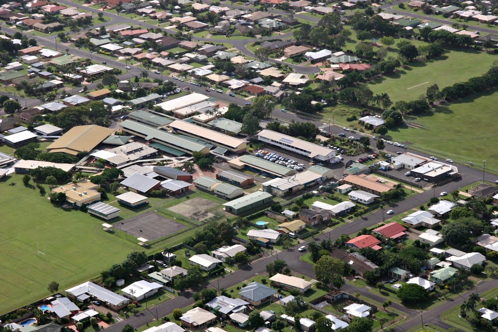
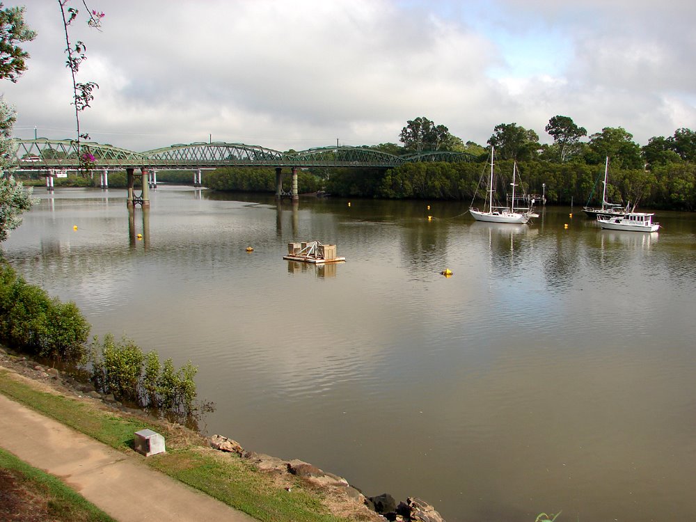
Photos of Bundaberg
Bundaberg Weather

Predicción: Overcast clouds
Temperatura: 27.4°
Humedad: 56%
Hora actual: 11:05 AM
Amanece: 06:07 AM
Anochece: 05:32 PM


