Distance between  Claretown and
  Marcus Hill
57.91 mi Straight Distance
76.64 mi Driving Distance
1 hour 30 mins Estimated Driving Time
The straight distance between Claretown (Victoria) and Marcus Hill (Victoria) is 57.91 mi, but the driving distance is 76.64 mi.
It takes 1 hour 28 mins to go from Claretown to Marcus Hill.
Driving directions from Claretown to Marcus Hill
Distance in kilometers
Straight distance: 93.17 km. Route distance: 123.32 km
Claretown, Australia
Latitude: -37.5272 // Longitude: 144.028
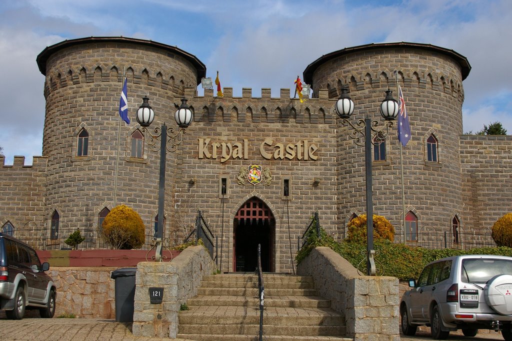
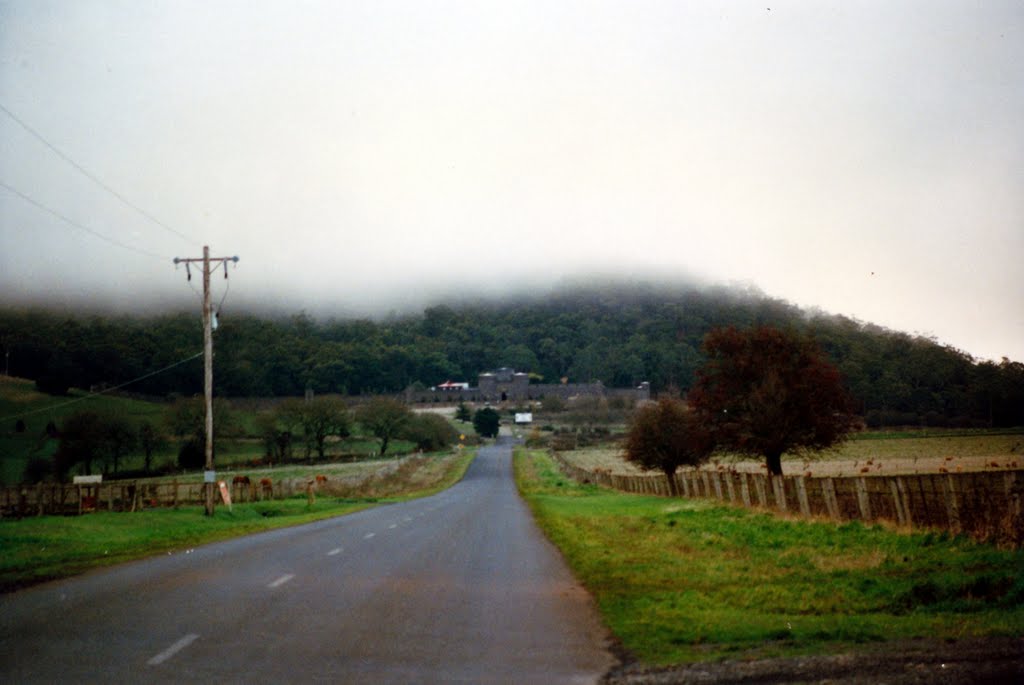
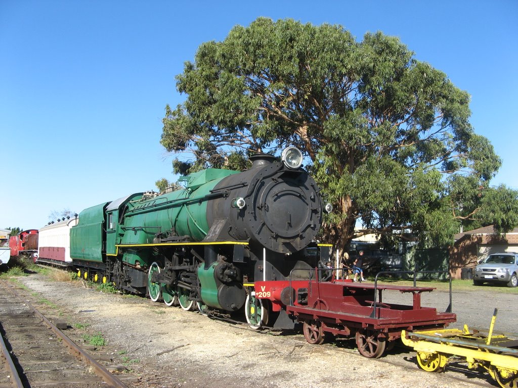
Photos of Claretown
Claretown Weather

Predicción: Overcast clouds
Temperatura: 8.8°
Humedad: 93%
Hora actual: 09:42 AM
Amanece: 06:53 AM
Anochece: 05:51 PM
Marcus Hill, Australia
Latitude: -38.2446 // Longitude: 144.577
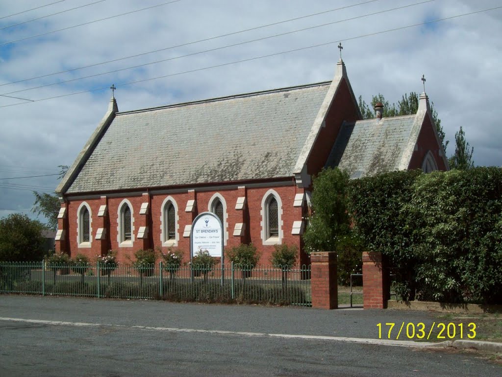
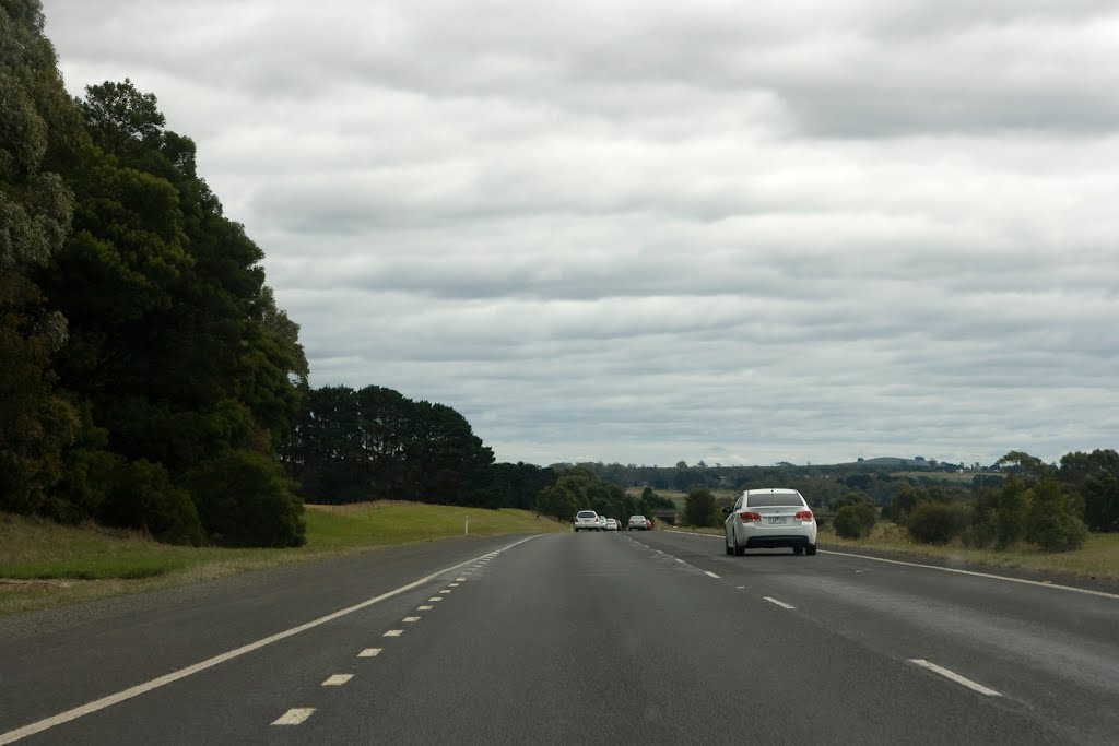
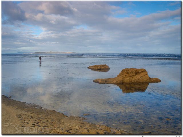
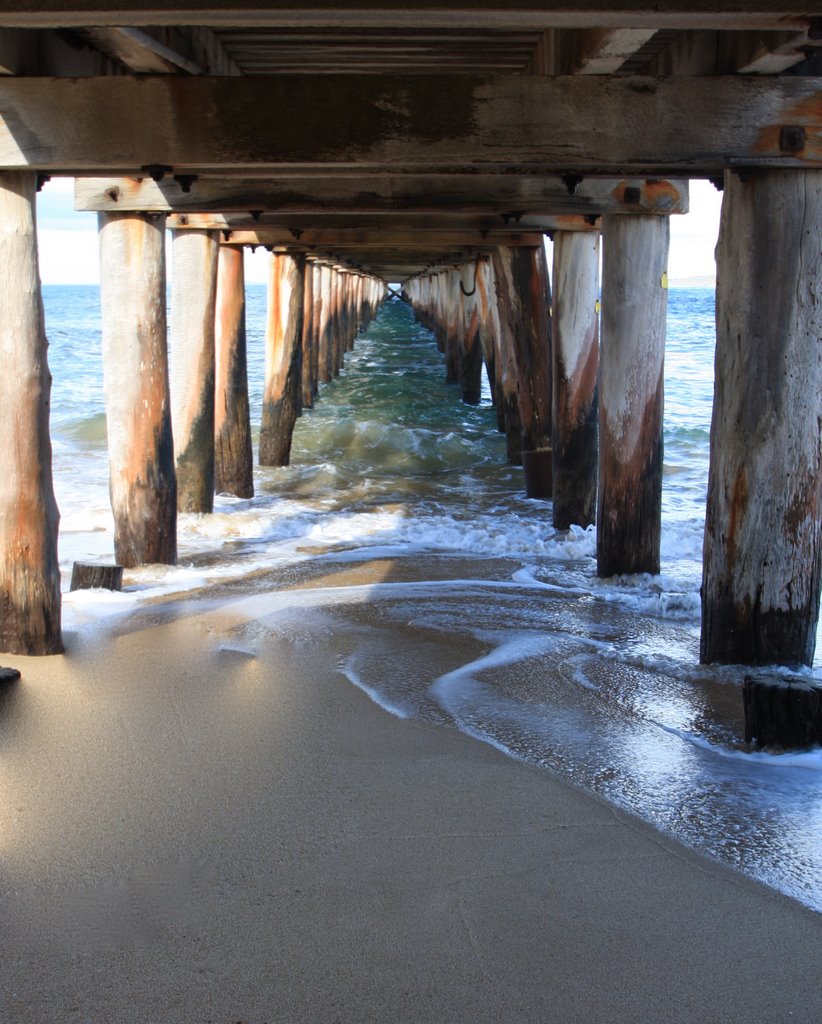
Photos of Marcus Hill
Marcus Hill Weather

Predicción: Broken clouds
Temperatura: 14.1°
Humedad: 66%
Hora actual: 09:42 AM
Amanece: 06:52 AM
Anochece: 05:48 PM


