Distance between  Clackline and
  Mt Burges
279.84 mi Straight Distance
303.86 mi Driving Distance
4 hours 38 mins Estimated Driving Time
The straight distance between Clackline (Western Australia) and Mt Burges (Western Australia) is 279.84 mi, but the driving distance is 303.86 mi.
It takes 7 hours 21 mins to go from Clackline to Mt Burges.
Driving directions from Clackline to Mt Burges
Distance in kilometers
Straight distance: 450.27 km. Route distance: 488.91 km
Clackline, Australia
Latitude: -31.7194 // Longitude: 116.524
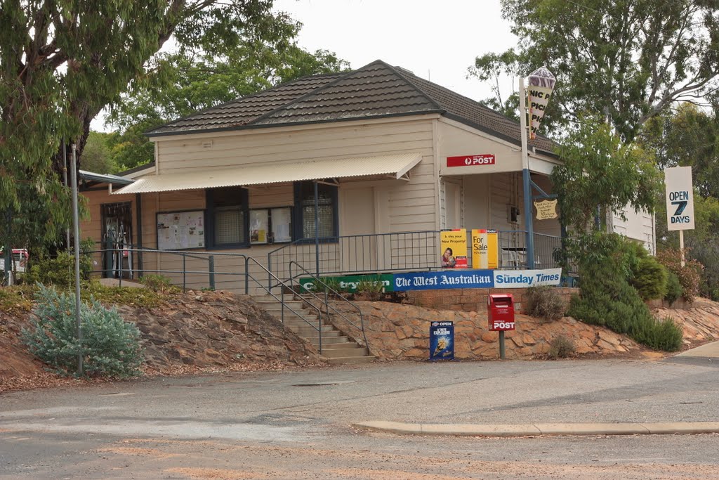
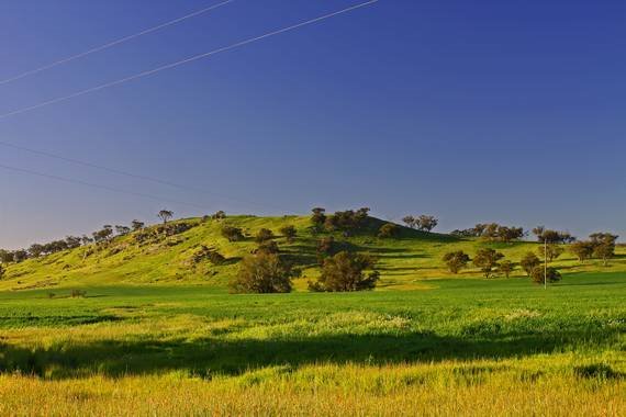
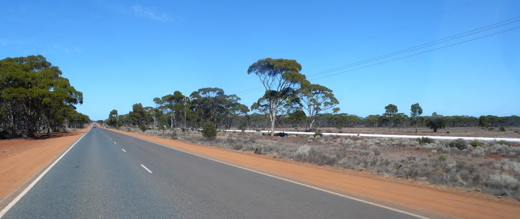
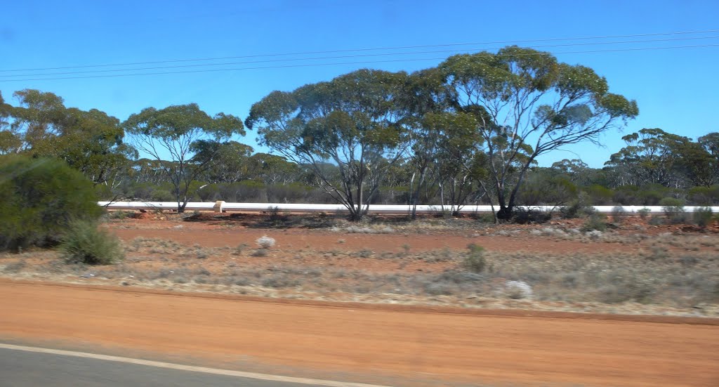
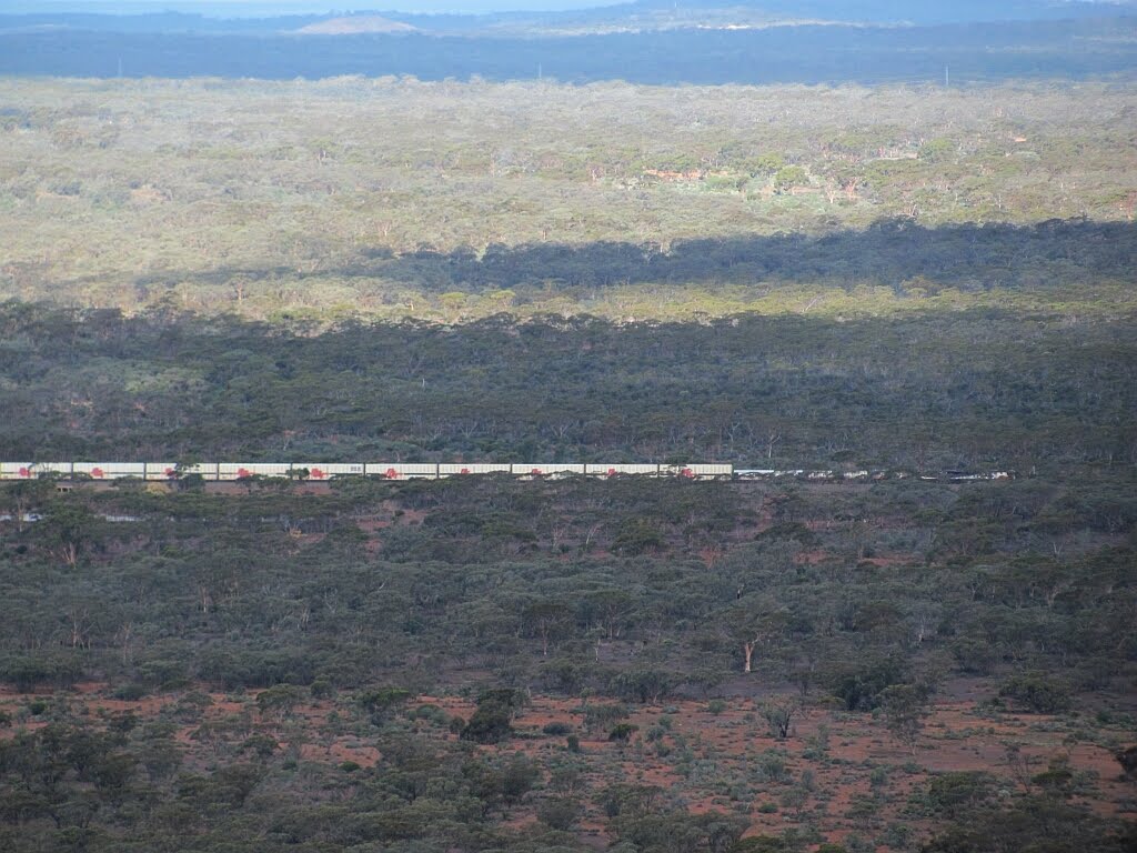
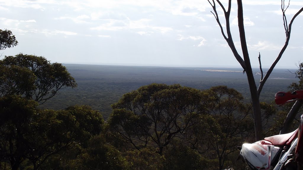
Photos of Clackline
Clackline Weather

Predicción: Clear sky
Temperatura: 22.4°
Humedad: 39%
Hora actual: 09:11 AM
Amanece: 06:36 AM
Anochece: 05:49 PM
Mt Burges, Australia
Latitude: -30.8418 // Longitude: 121.151
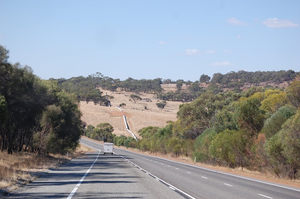
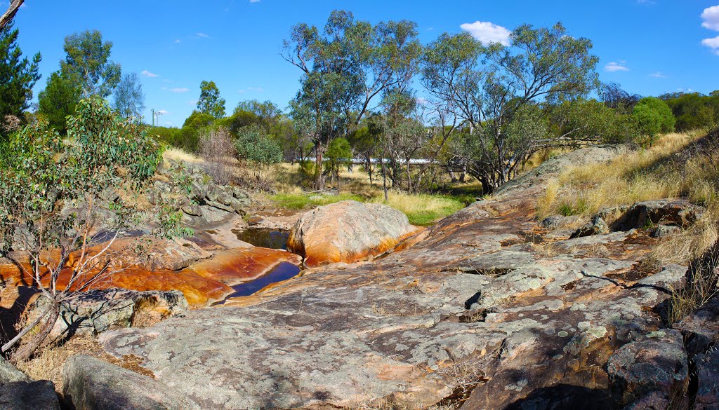
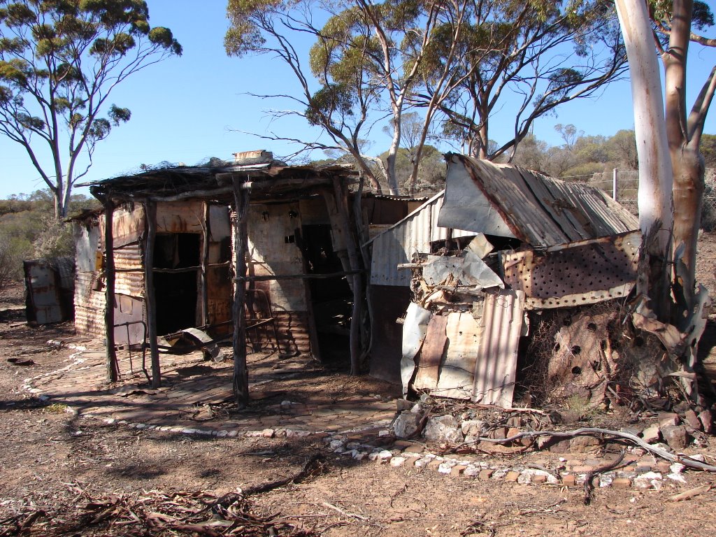
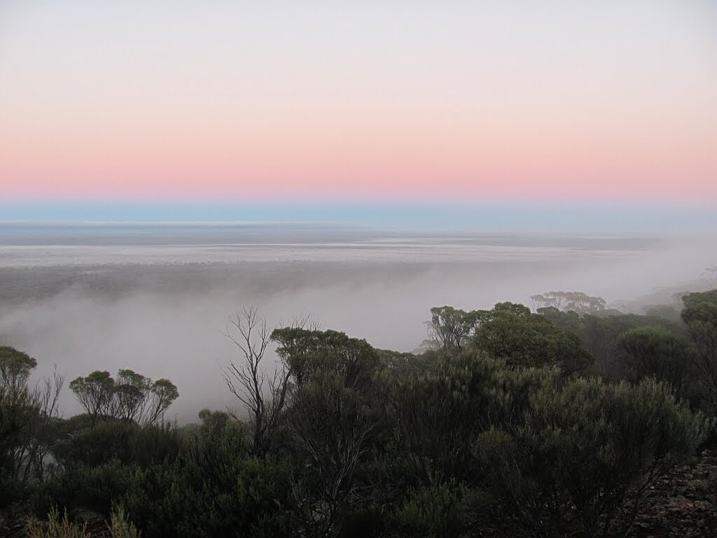
Photos of Mt Burges
Mt Burges Weather

Predicción: Clear sky
Temperatura: 16.9°
Humedad: 49%
Hora actual: 08:00 AM
Amanece: 06:17 AM
Anochece: 05:31 PM


