Distance between  Chepstowe and
  Echuca
122 mi Straight Distance
156.80 mi Driving Distance
3 hours 4 mins Estimated Driving Time
The straight distance between Chepstowe (Victoria) and Echuca (Victoria) is 122 mi, but the driving distance is 156.80 mi.
It takes to go from Chepstowe to Echuca.
Driving directions from Chepstowe to Echuca
Distance in kilometers
Straight distance: 196.29 km. Route distance: 252.30 km
Chepstowe, Australia
Latitude: -37.5894 // Longitude: 143.511
Photos of Chepstowe
Chepstowe Weather

Predicción: Broken clouds
Temperatura: 13.6°
Humedad: 59%
Hora actual: 12:03 PM
Amanece: 06:56 AM
Anochece: 05:53 PM
Echuca, Australia
Latitude: -36.1277 // Longitude: 144.749
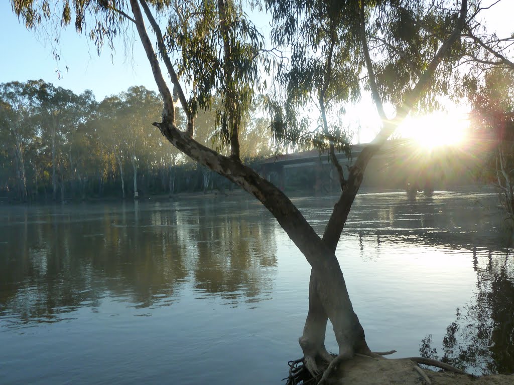
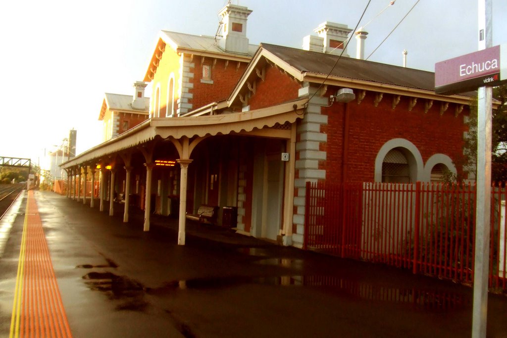
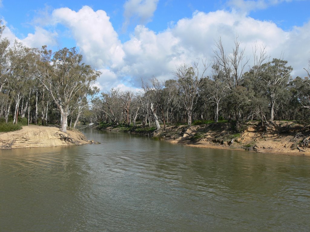
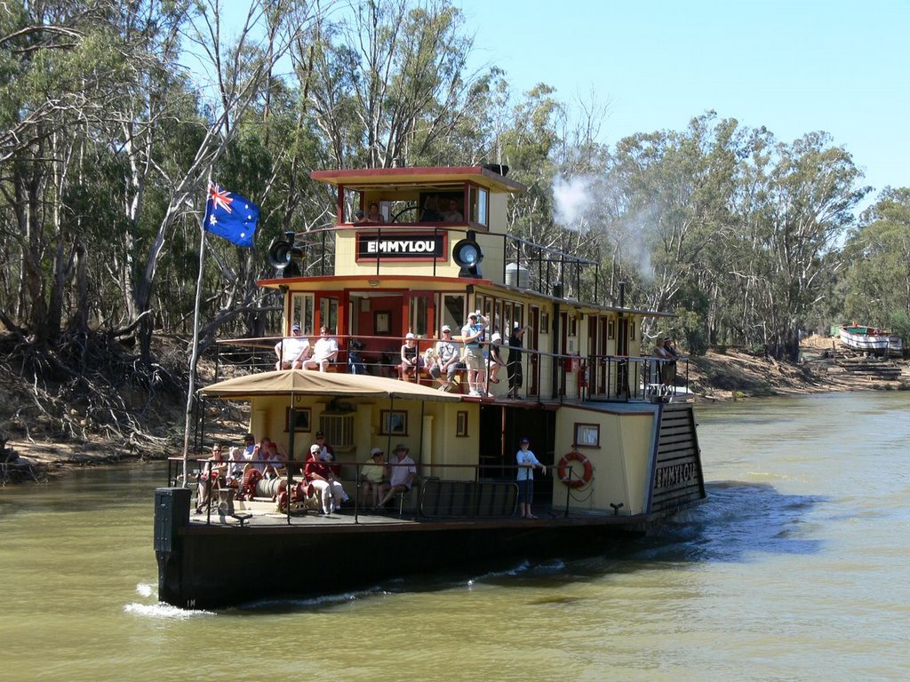
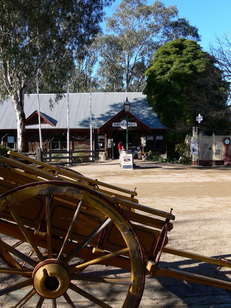
Photos of Echuca
Echuca Weather

Predicción: Few clouds
Temperatura: 16.1°
Humedad: 62%
Hora actual: 12:03 PM
Amanece: 06:49 AM
Anochece: 05:50 PM


