Distance between  Charlotte Pass and
  Buronga
380.57 mi Straight Distance
520.56 mi Driving Distance
9 hours 3 mins Estimated Driving Time
The straight distance between Charlotte Pass (New South Wales) and Buronga (New South Wales) is 380.57 mi, but the driving distance is 520.56 mi.
It takes 9 hours 55 mins to go from Charlotte Pass to Buronga.
Driving directions from Charlotte Pass to Buronga
Distance in kilometers
Straight distance: 612.33 km. Route distance: 837.57 km
Charlotte Pass, Australia
Latitude: -36.431 // Longitude: 148.339
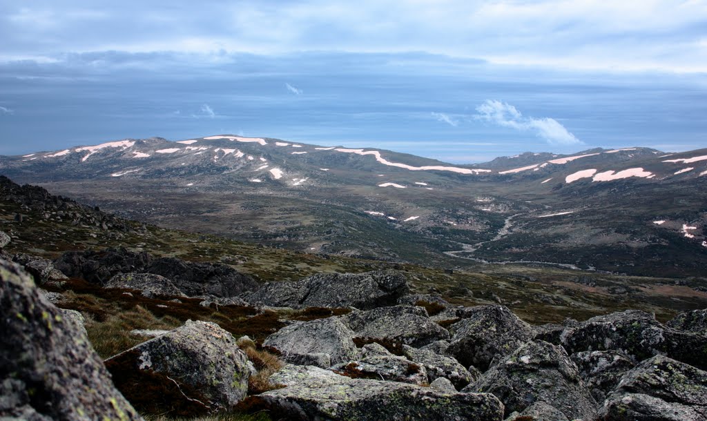
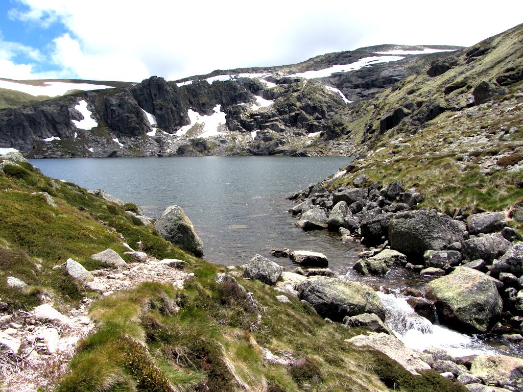
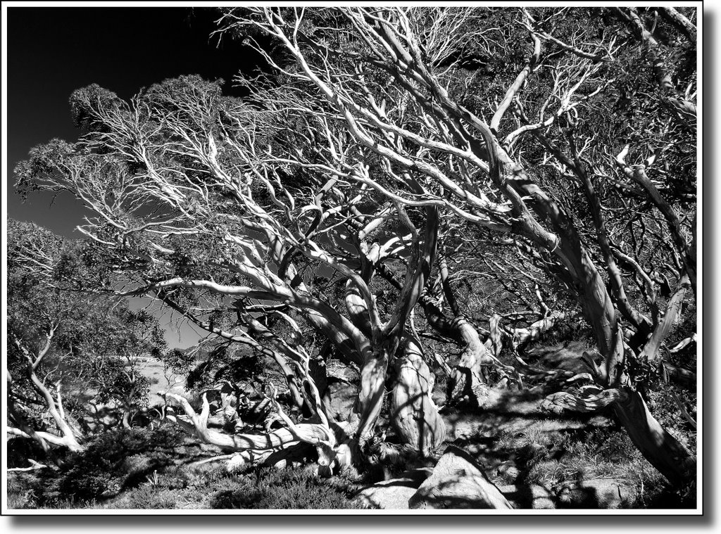
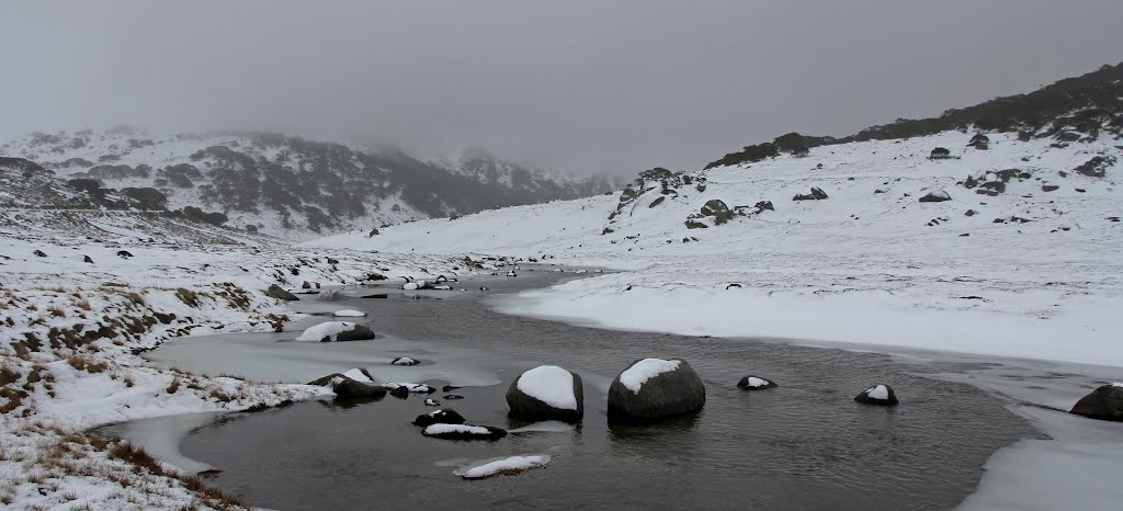
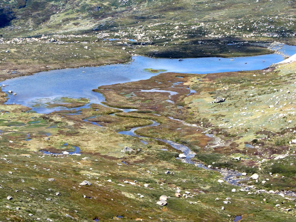
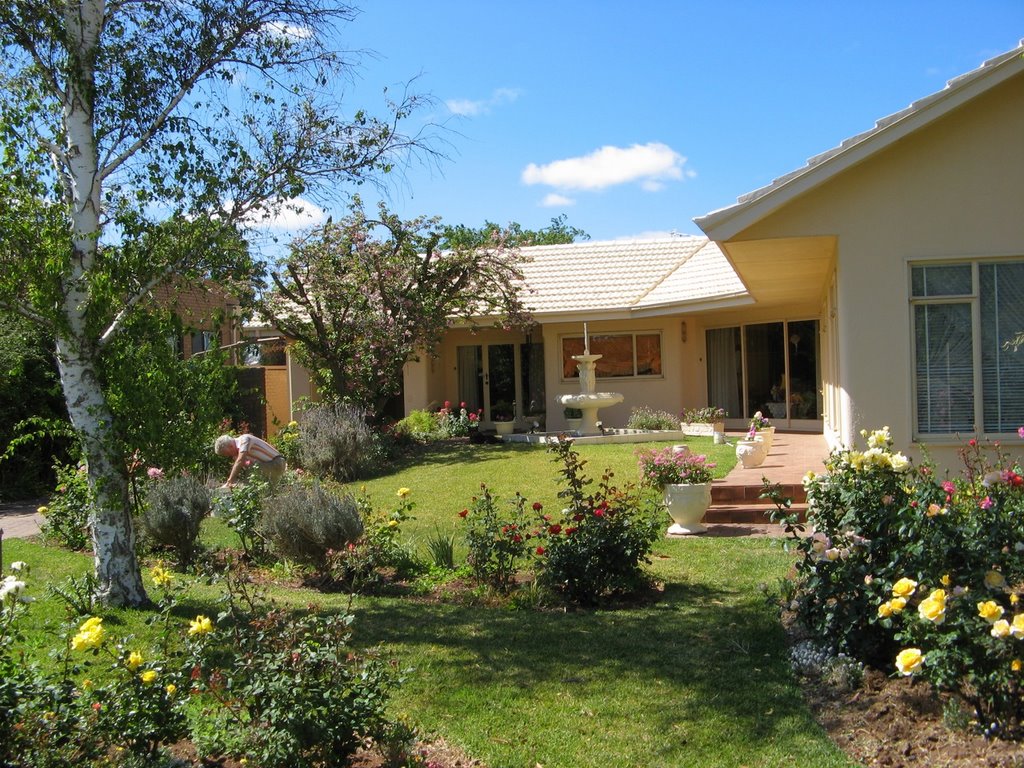
Photos of Charlotte Pass
Charlotte Pass Weather

Predicción: Overcast clouds
Temperatura: 1.4°
Humedad: 77%
Hora actual: 08:15 AM
Amanece: 06:35 AM
Anochece: 05:36 PM
Buronga, Australia
Latitude: -34.1699 // Longitude: 142.183
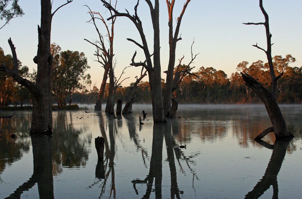
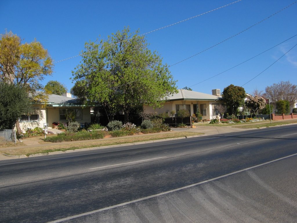
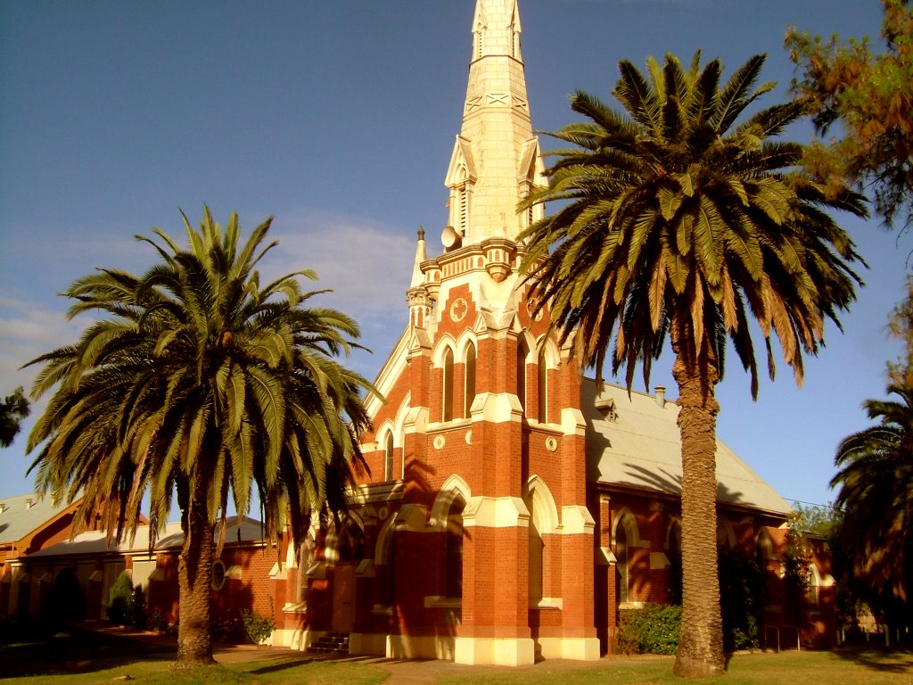
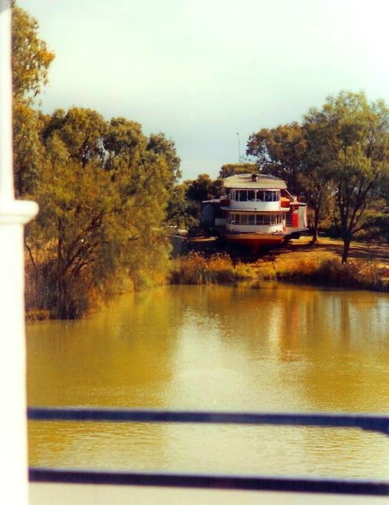
Photos of Buronga
Buronga Weather

Predicción: Broken clouds
Temperatura: 12.9°
Humedad: 89%
Hora actual: 08:15 AM
Amanece: 06:57 AM
Anochece: 06:03 PM


