Distance between  Ceratodus and
  Capella
248.55 mi Straight Distance
324.76 mi Driving Distance
5 hours 45 mins Estimated Driving Time
The straight distance between Ceratodus (Queensland) and Capella (Queensland) is 248.55 mi, but the driving distance is 324.76 mi.
It takes 5 hours 35 mins to go from Ceratodus to Capella.
Driving directions from Ceratodus to Capella
Distance in kilometers
Straight distance: 399.91 km. Route distance: 522.54 km
Ceratodus, Australia
Latitude: -25.2889 // Longitude: 151.141
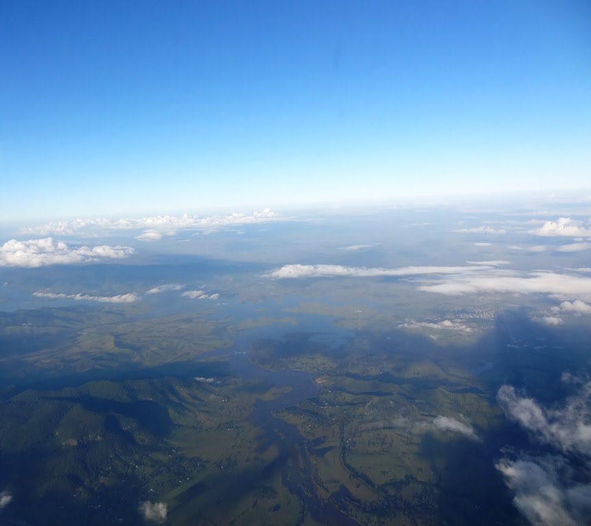
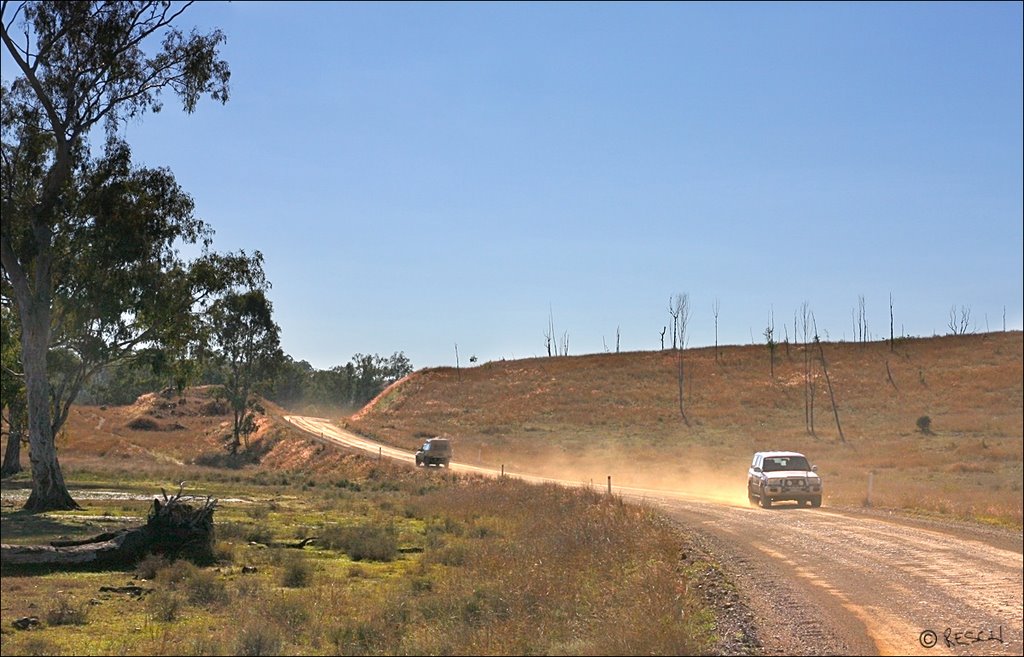
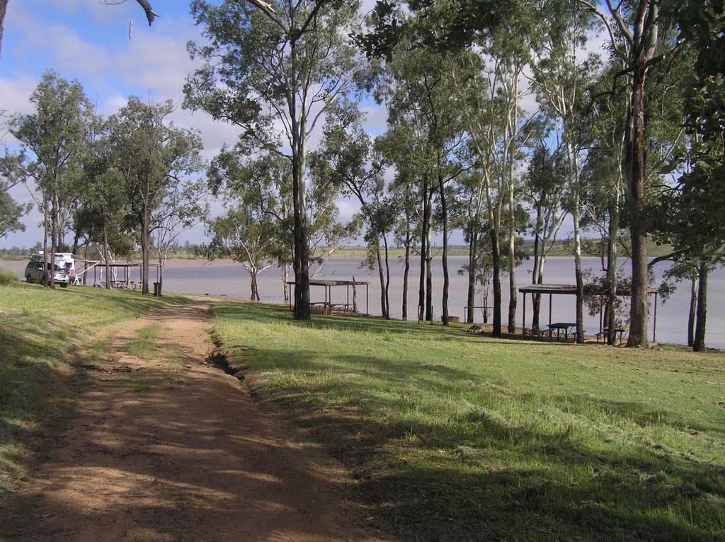
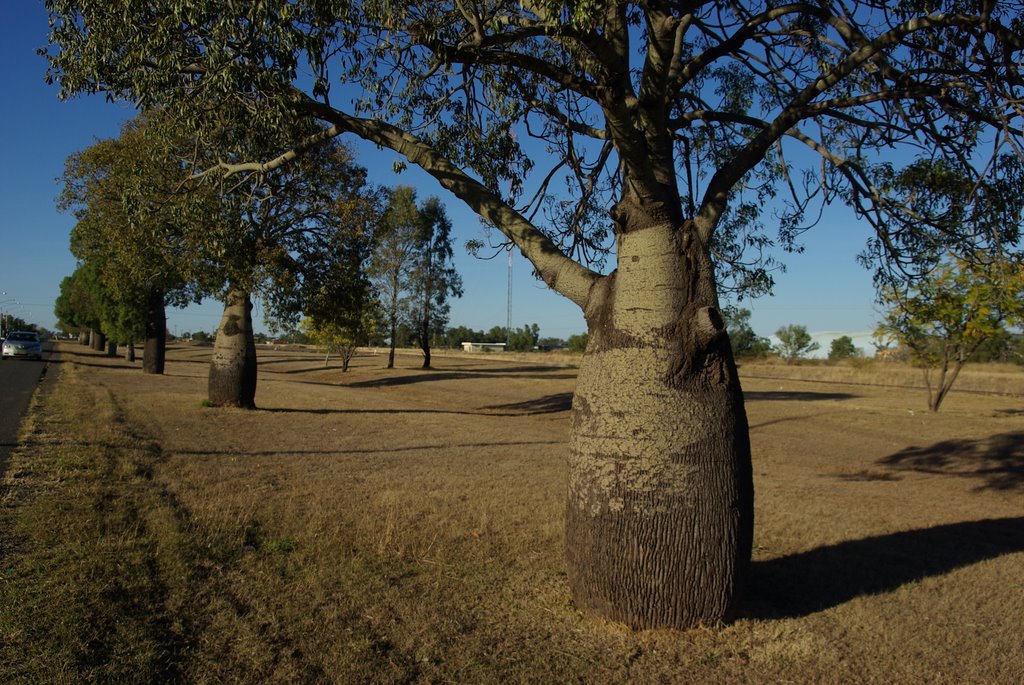
Photos of Ceratodus
Ceratodus Weather

Predicción: Overcast clouds
Temperatura: 24.5°
Humedad: 57%
Hora actual: 12:00 AM
Amanece: 08:12 PM
Anochece: 07:37 AM
Capella, Australia
Latitude: -23.0861 // Longitude: 148.023
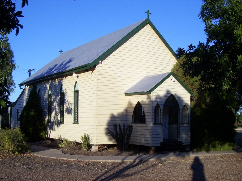
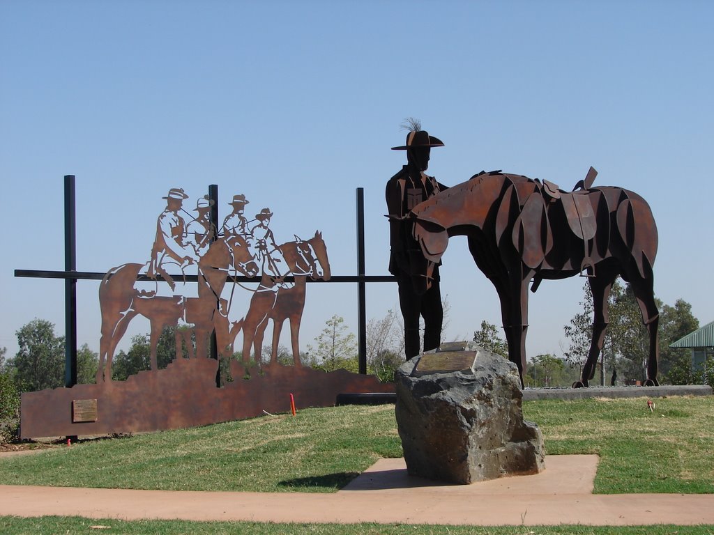
Photos of Capella
Capella Weather

Predicción: Overcast clouds
Temperatura: 26.4°
Humedad: 60%
Hora actual: 09:50 AM
Amanece: 06:22 AM
Anochece: 05:51 PM


