Distance between  Castlemaine and
  Longlea
23.27 mi Straight Distance
32.23 mi Driving Distance
38 minutes Estimated Driving Time
The straight distance between Castlemaine (Victoria) and Longlea (Victoria) is 23.27 mi, but the driving distance is 32.23 mi.
It takes to go from Castlemaine to Longlea.
Driving directions from Castlemaine to Longlea
Distance in kilometers
Straight distance: 37.43 km. Route distance: 51.85 km
Castlemaine, Australia
Latitude: -37.0644 // Longitude: 144.217
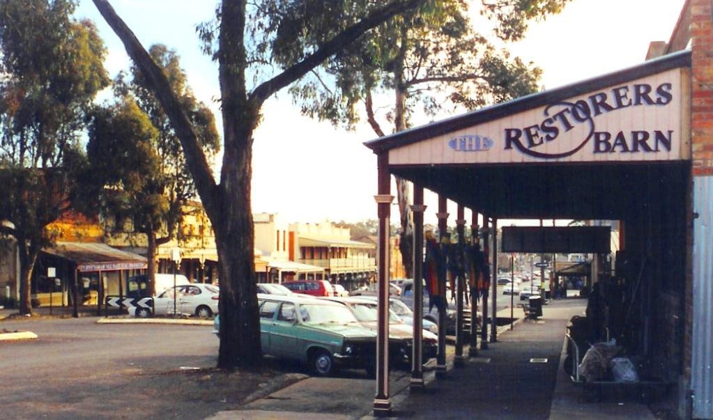
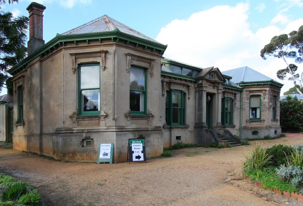
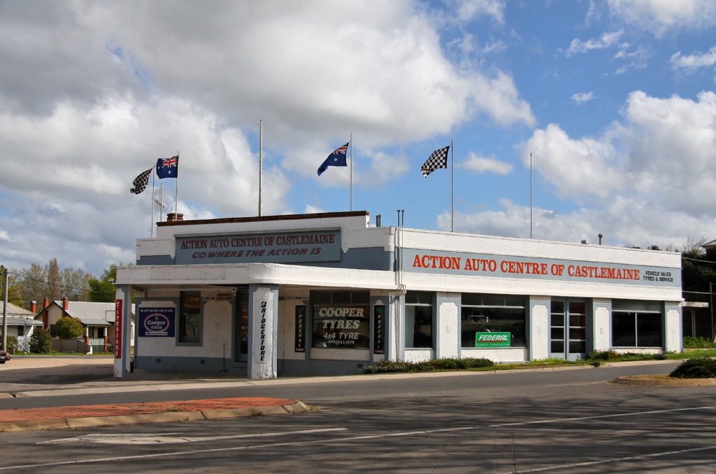
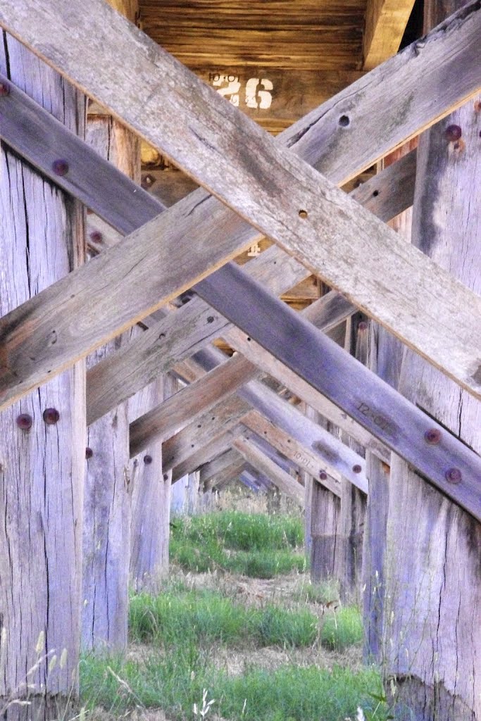
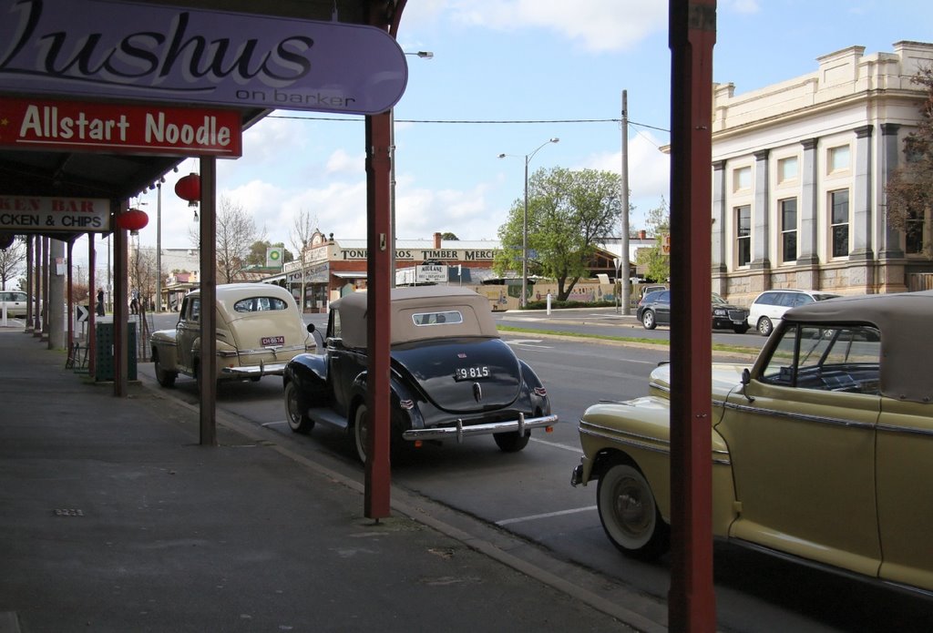
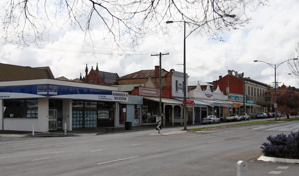
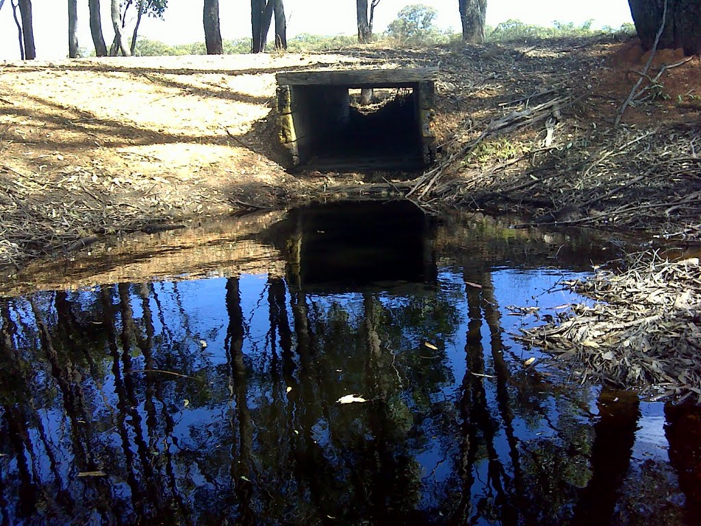
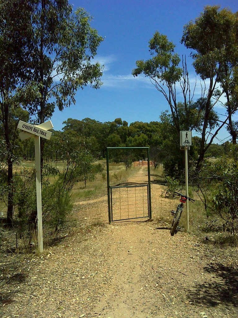
Photos of Castlemaine
Castlemaine Weather

Predicción: Broken clouds
Temperatura: 8.3°
Humedad: 92%
Hora actual: 04:00 AM
Amanece: 06:52 AM
Anochece: 05:51 PM
Longlea, Australia
Latitude: -36.7739 // Longitude: 144.43
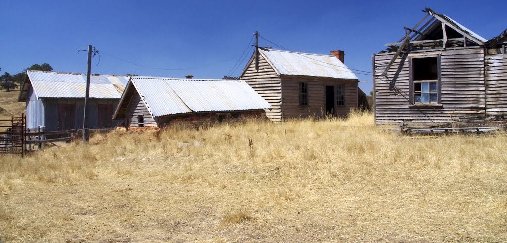
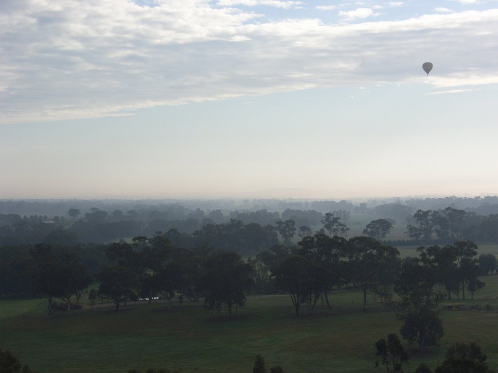
Photos of Longlea
Longlea Weather

Predicción: Broken clouds
Temperatura: 9.9°
Humedad: 84%
Hora actual: 04:00 AM
Amanece: 06:51 AM
Anochece: 05:51 PM


