Distance between  Castella and
  Leopold
70.09 mi Straight Distance
99.28 mi Driving Distance
1 hour 52 mins Estimated Driving Time
The straight distance between Castella (Victoria) and Leopold (Victoria) is 70.09 mi, but the driving distance is 99.28 mi.
It takes to go from Castella to Leopold.
Driving directions from Castella to Leopold
Distance in kilometers
Straight distance: 112.77 km. Route distance: 159.75 km
Castella, Australia
Latitude: -37.5241 // Longitude: 145.433
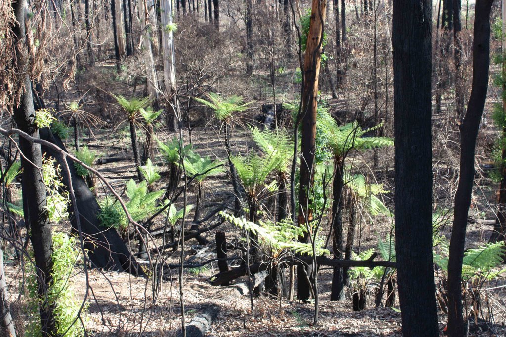
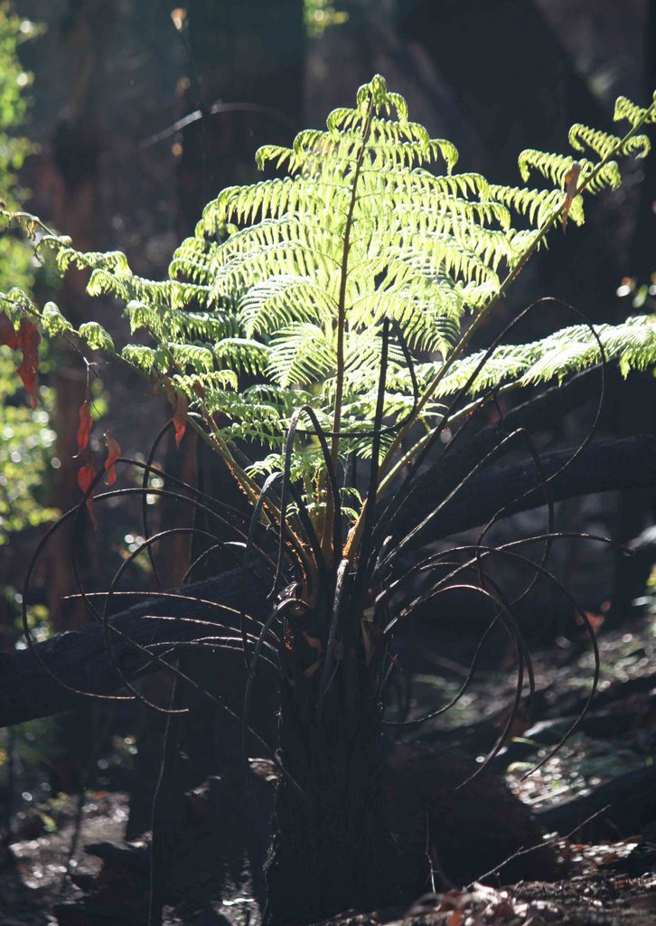
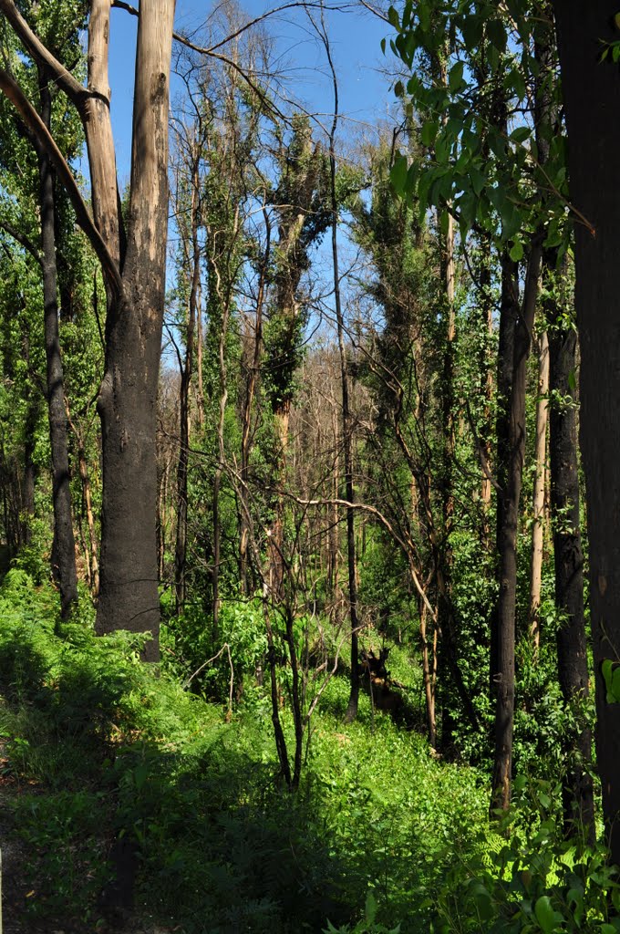
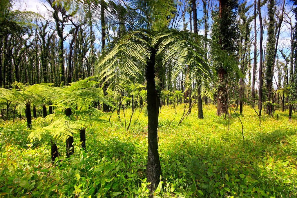
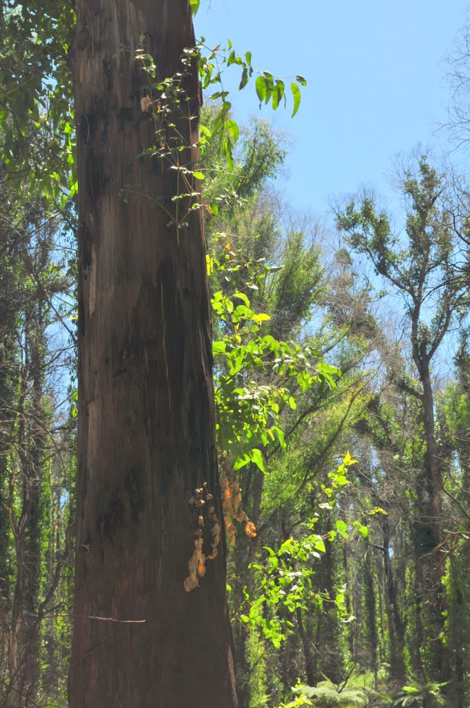
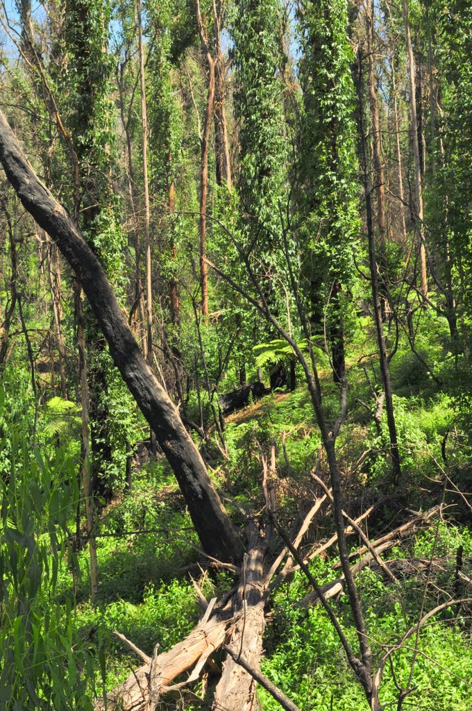
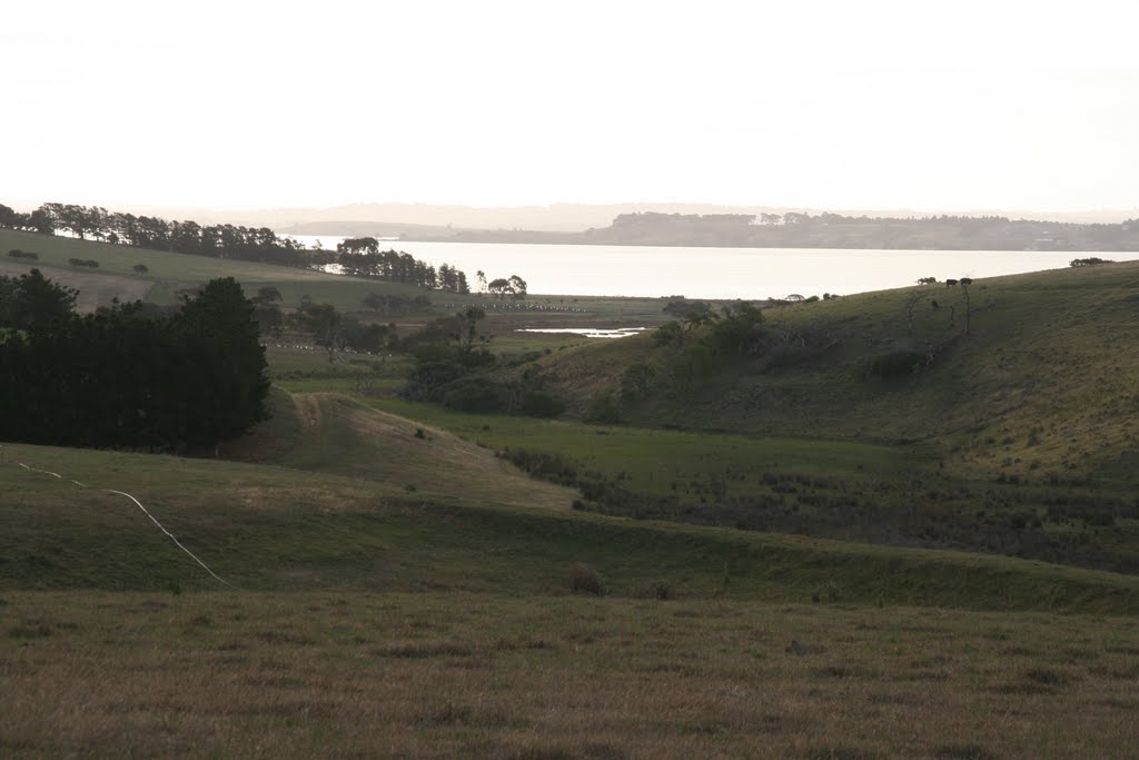
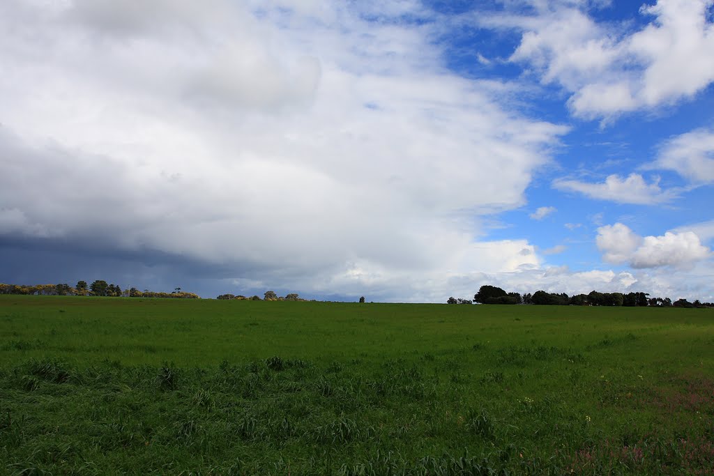
Photos of Castella
Castella Weather

Predicción: Overcast clouds
Temperatura: 12.4°
Humedad: 90%
Hora actual: 12:00 AM
Amanece: 08:46 PM
Anochece: 07:49 AM
Leopold, Australia
Latitude: -38.1938 // Longitude: 144.468
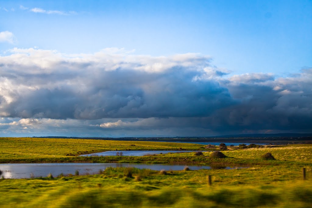
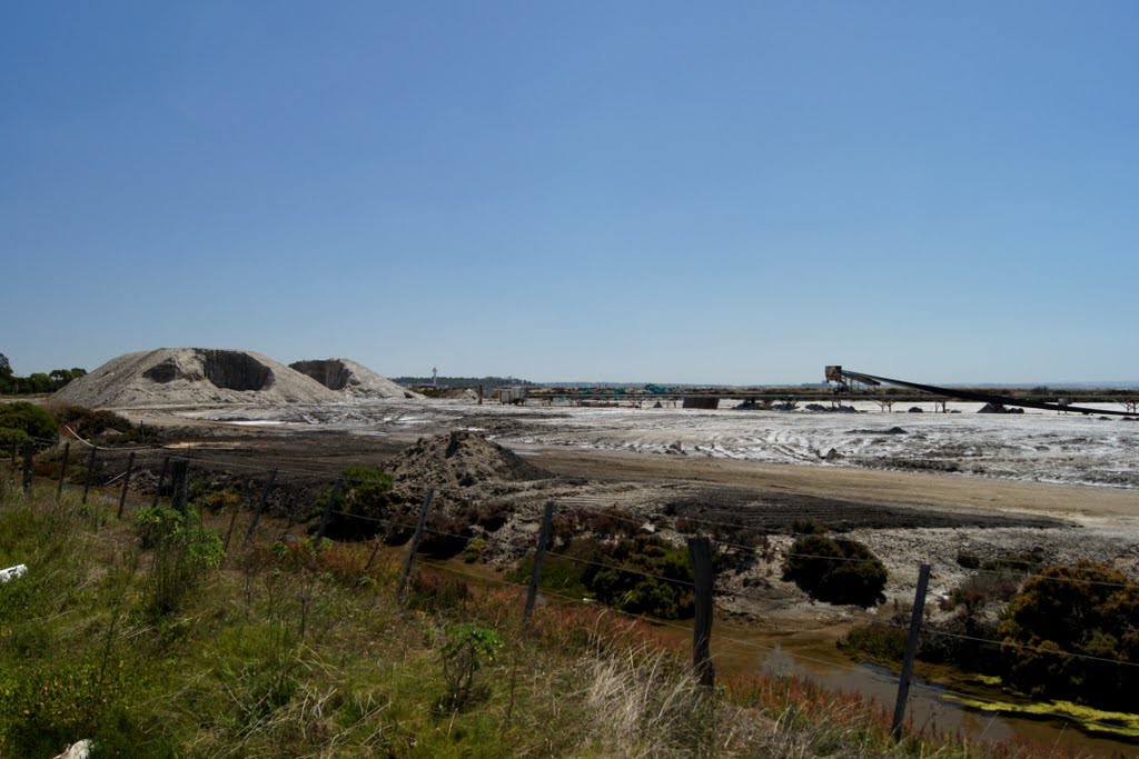
Photos of Leopold
Leopold Weather

Predicción: Overcast clouds
Temperatura: 13.4°
Humedad: 94%
Hora actual: 09:59 AM
Amanece: 06:51 AM
Anochece: 05:52 PM


