Distance between  Carrajung South and
  Thaloo
34.28 mi Straight Distance
50.09 mi Driving Distance
1 hour 16 mins Estimated Driving Time
The straight distance between Carrajung South (Victoria) and Thaloo (Victoria) is 34.28 mi, but the driving distance is 50.09 mi.
It takes to go from Carrajung South to Thaloo.
Driving directions from Carrajung South to Thaloo
Distance in kilometers
Straight distance: 55.15 km. Route distance: 80.59 km
Carrajung South, Australia
Latitude: -38.3897 // Longitude: 146.807
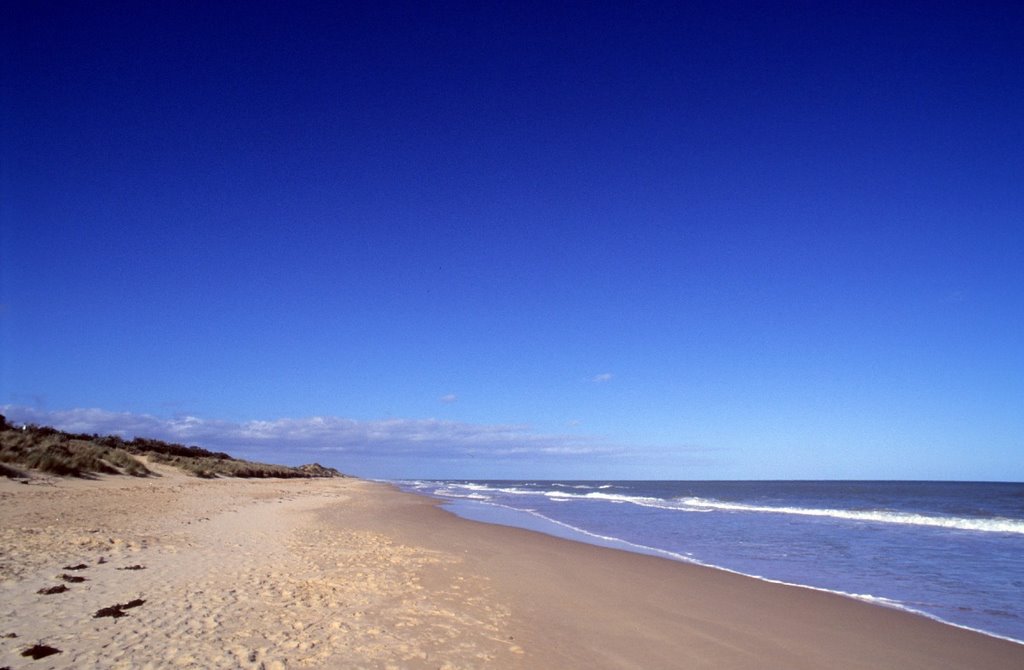
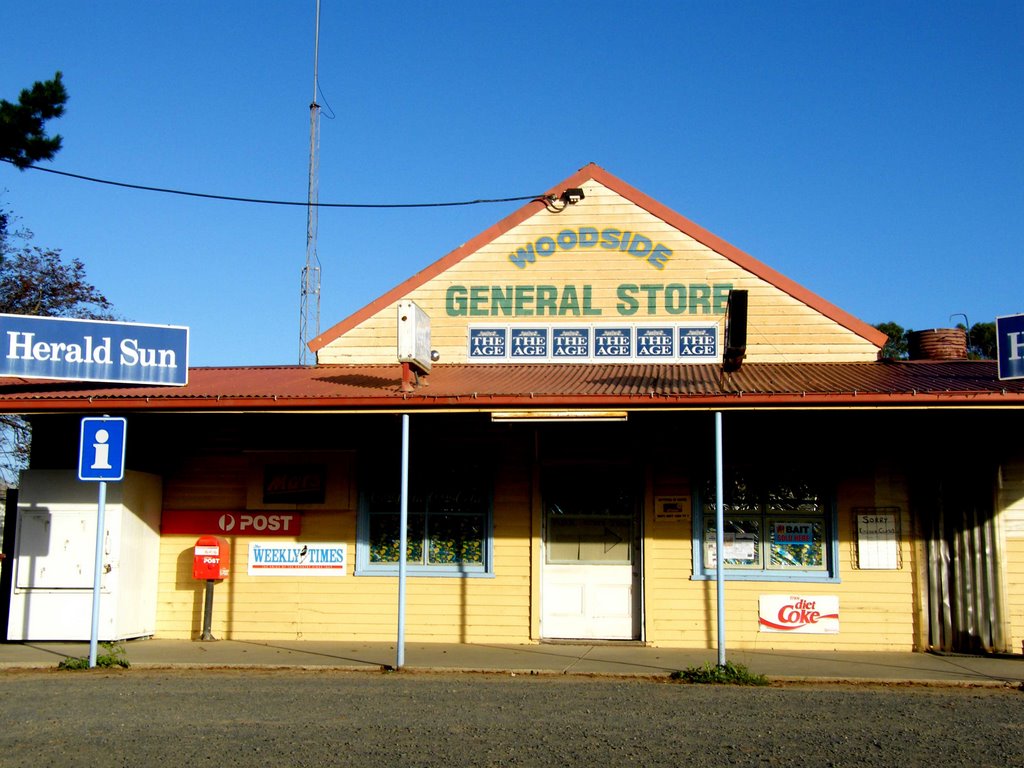
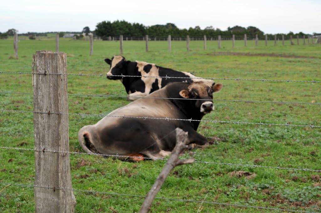
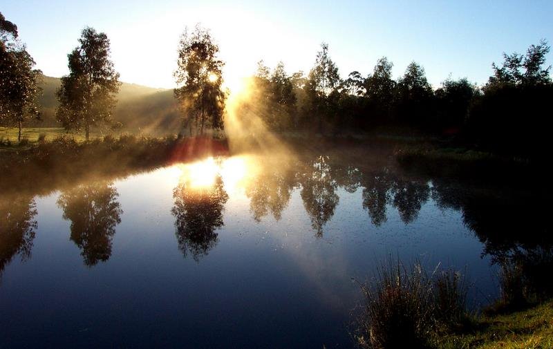
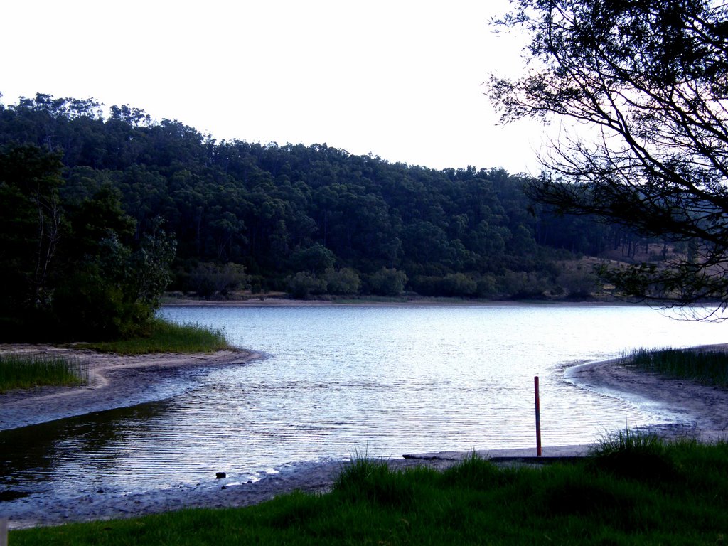
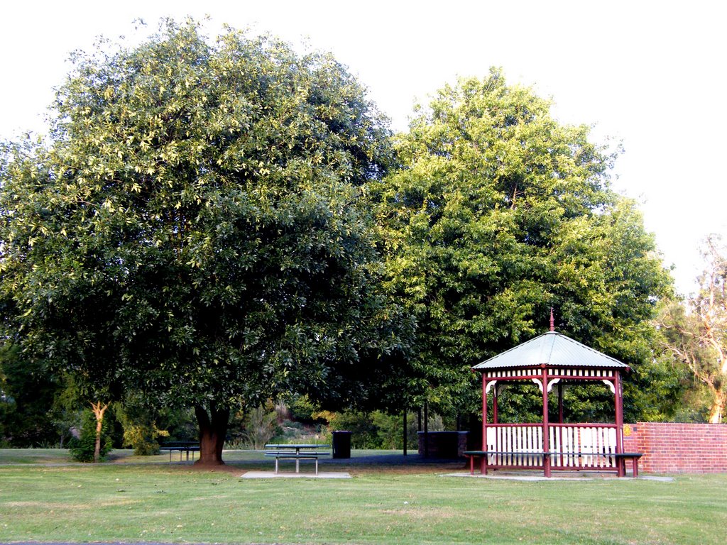
Photos of Carrajung South
Carrajung South Weather

Predicción: Light rain
Temperatura: 13.4°
Humedad: 65%
Hora actual: 12:00 AM
Amanece: 08:41 PM
Anochece: 07:43 AM
Thaloo, Australia
Latitude: -38.0866 // Longitude: 146.307
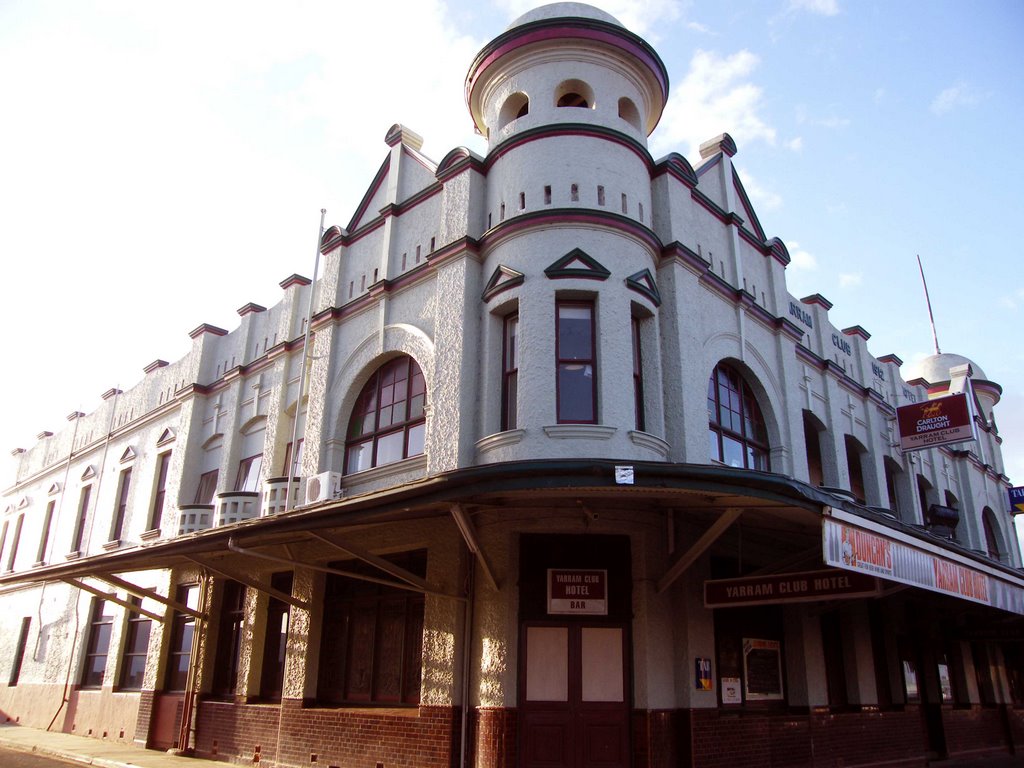
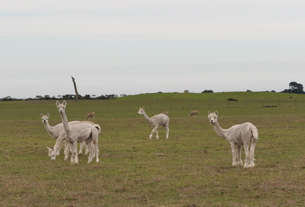
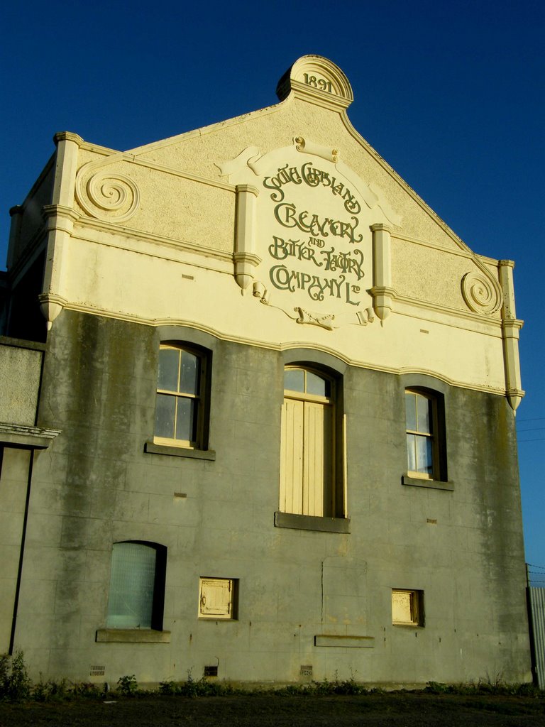
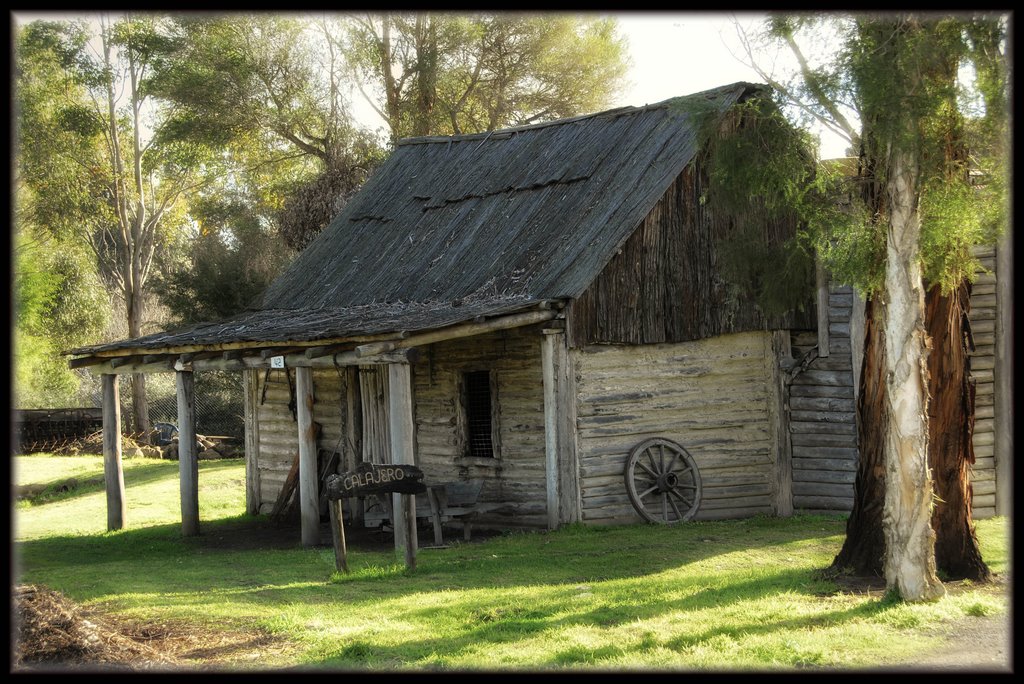
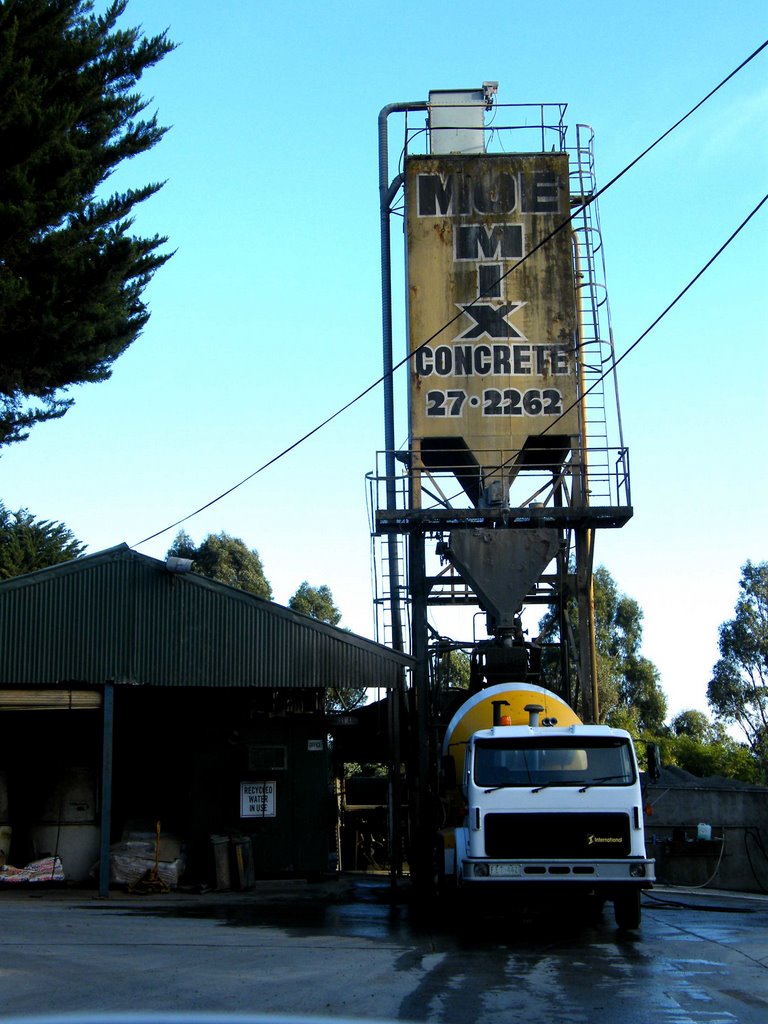
Photos of Thaloo
Thaloo Weather

Predicción: Overcast clouds
Temperatura: 12.1°
Humedad: 80%
Hora actual: 09:58 AM
Amanece: 06:43 AM
Anochece: 05:44 PM


