Distance between  Carrajung Lower and
  Yanakie
39.31 mi Straight Distance
58.88 mi Driving Distance
1 hour 14 mins Estimated Driving Time
The straight distance between Carrajung Lower (Victoria) and Yanakie (Victoria) is 39.31 mi, but the driving distance is 58.88 mi.
It takes 1 hour 14 mins to go from Carrajung Lower to Yanakie.
Driving directions from Carrajung Lower to Yanakie
Distance in kilometers
Straight distance: 63.25 km. Route distance: 94.73 km
Carrajung Lower, Australia
Latitude: -38.4148 // Longitude: 146.728
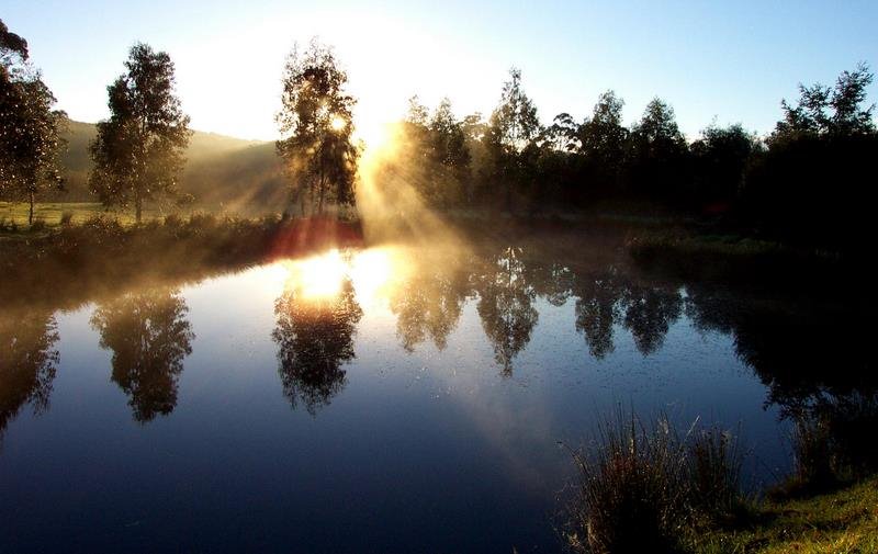
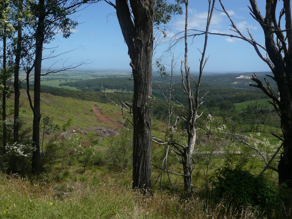
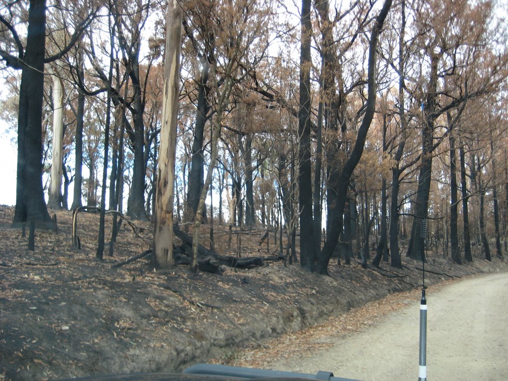
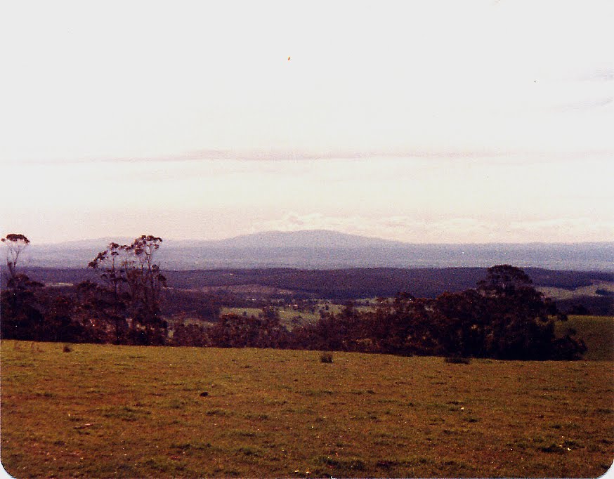
Photos of Carrajung Lower
Carrajung Lower Weather

Predicción: Overcast clouds
Temperatura: 9.2°
Humedad: 83%
Hora actual: 12:00 AM
Amanece: 08:41 PM
Anochece: 07:43 AM
Yanakie, Australia
Latitude: -38.8114 // Longitude: 146.206
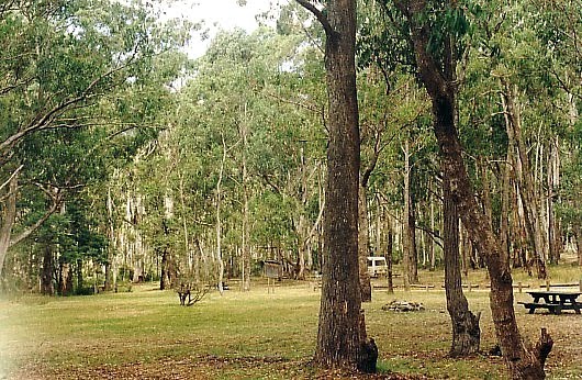
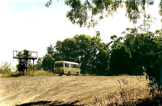
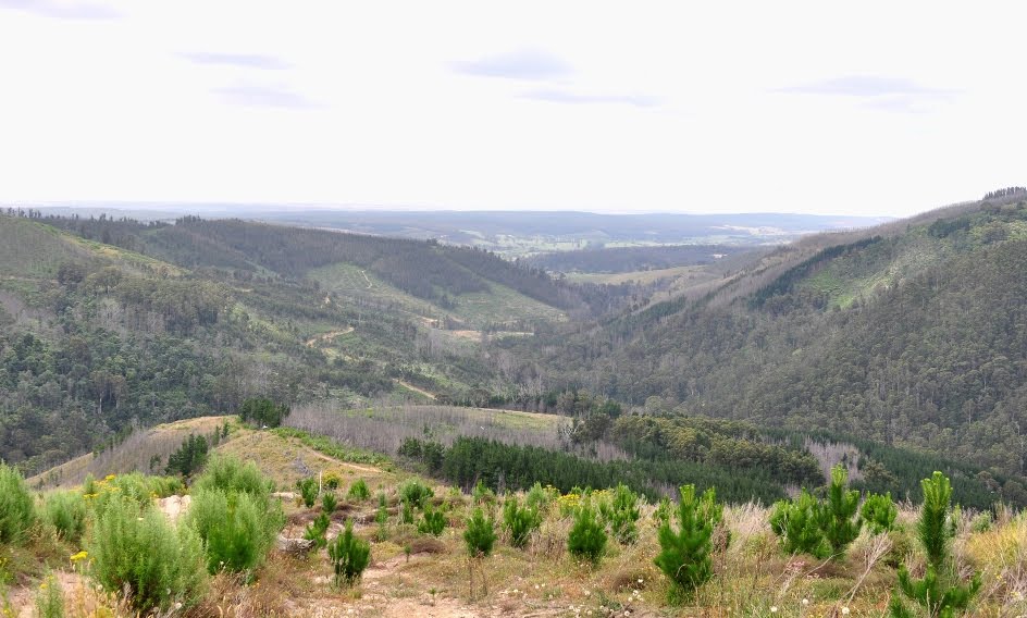
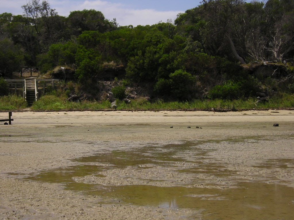
Photos of Yanakie
Yanakie Weather

Predicción: Overcast clouds
Temperatura: 10.8°
Humedad: 85%
Hora actual: 12:00 AM
Amanece: 08:44 PM
Anochece: 07:45 AM


