Distance between  Carlsruhe and
  Point Lonsdale
69.41 mi Straight Distance
90.37 mi Driving Distance
1 hour 44 mins Estimated Driving Time
The straight distance between Carlsruhe (Victoria) and Point Lonsdale (Victoria) is 69.41 mi, but the driving distance is 90.37 mi.
It takes 1 hour 53 mins to go from Carlsruhe to Point Lonsdale.
Driving directions from Carlsruhe to Point Lonsdale
Distance in kilometers
Straight distance: 111.68 km. Route distance: 145.41 km
Carlsruhe, Australia
Latitude: -37.2846 // Longitude: 144.5
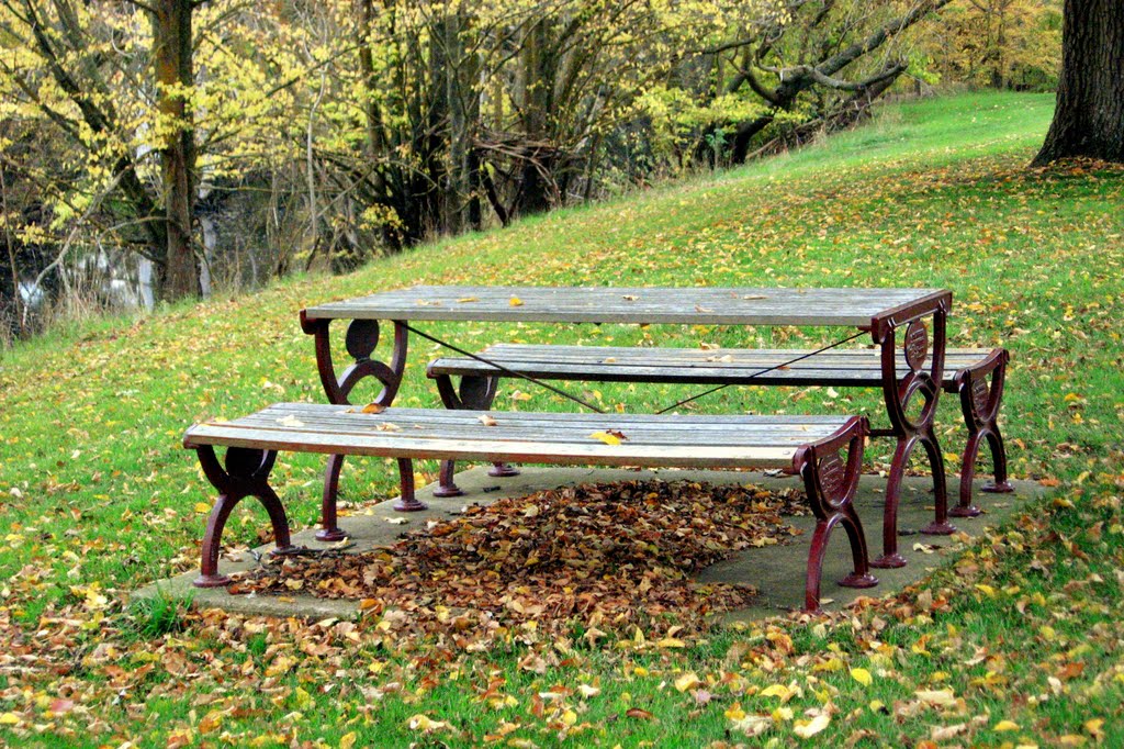
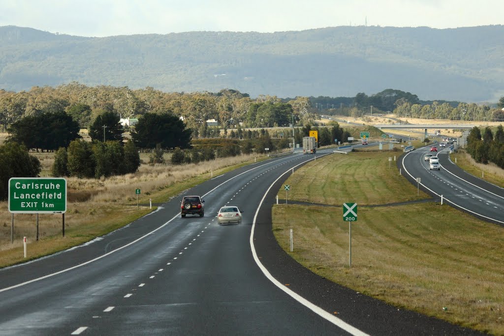
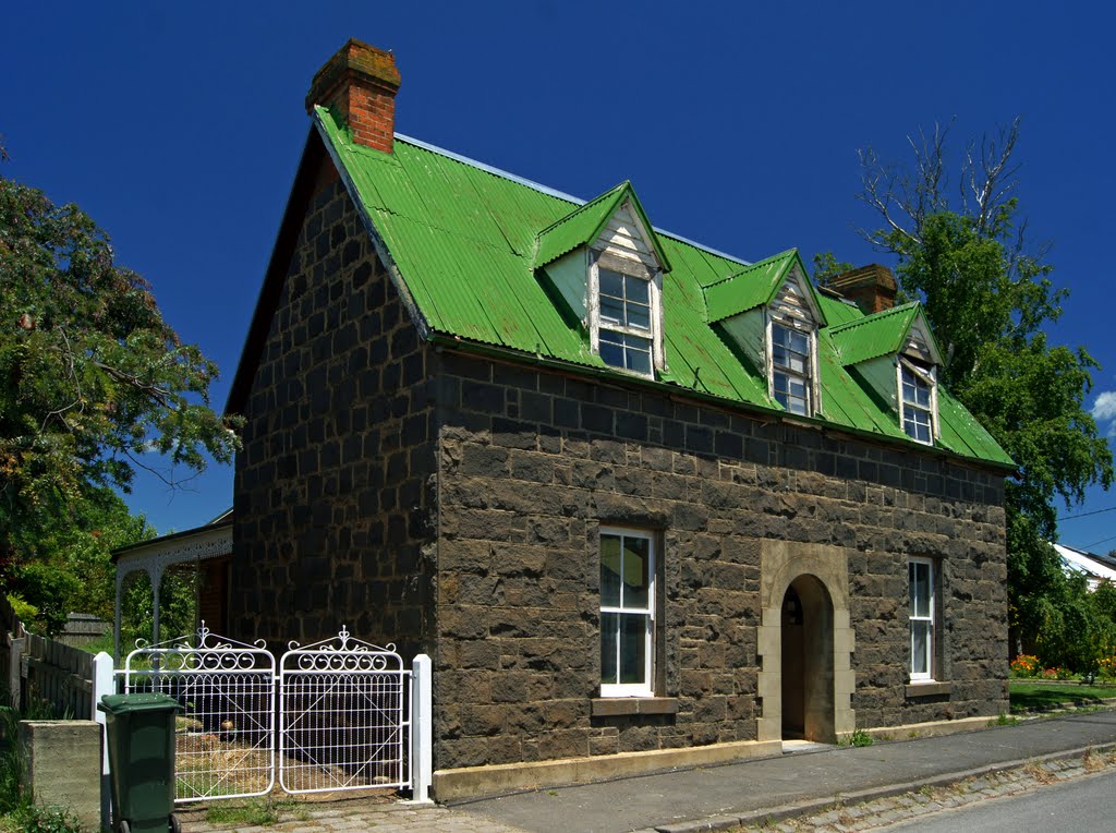
Photos of Carlsruhe
Carlsruhe Weather

Predicción: Overcast clouds
Temperatura: 10.0°
Humedad: 90%
Hora actual: 01:39 AM
Amanece: 06:51 AM
Anochece: 05:50 PM
Point Lonsdale, Australia
Latitude: -38.2851 // Longitude: 144.614
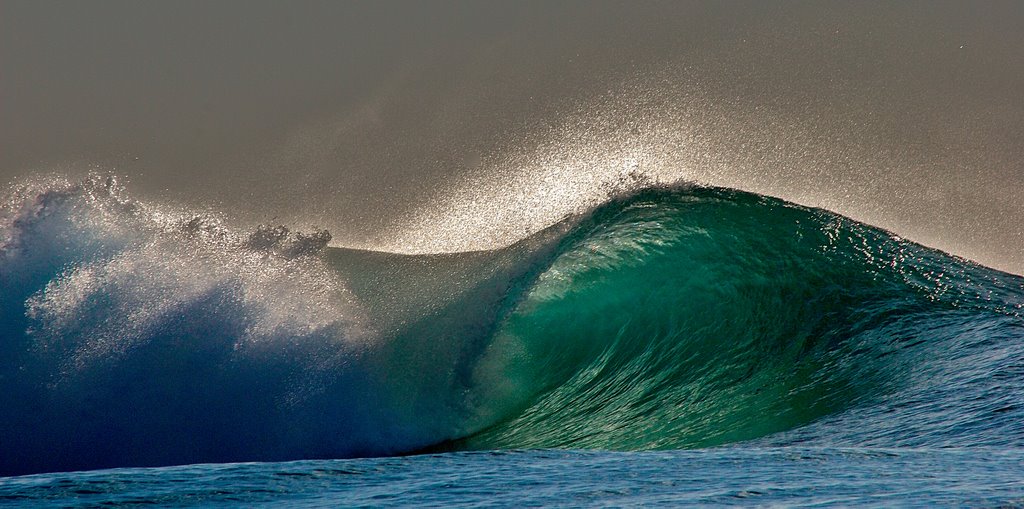
Photos of Point Lonsdale
Point Lonsdale Weather

Predicción: Light rain
Temperatura: 11.8°
Humedad: 76%
Hora actual: 01:39 AM
Amanece: 06:52 AM
Anochece: 05:48 PM


