Distance between  Carlsruhe and
  Nalangil
90.28 mi Straight Distance
134.77 mi Driving Distance
2 hours 33 mins Estimated Driving Time
The straight distance between Carlsruhe (Victoria) and Nalangil (Victoria) is 90.28 mi, but the driving distance is 134.77 mi.
It takes to go from Carlsruhe to Nalangil.
Driving directions from Carlsruhe to Nalangil
Distance in kilometers
Straight distance: 145.26 km. Route distance: 216.84 km
Carlsruhe, Australia
Latitude: -37.2846 // Longitude: 144.5
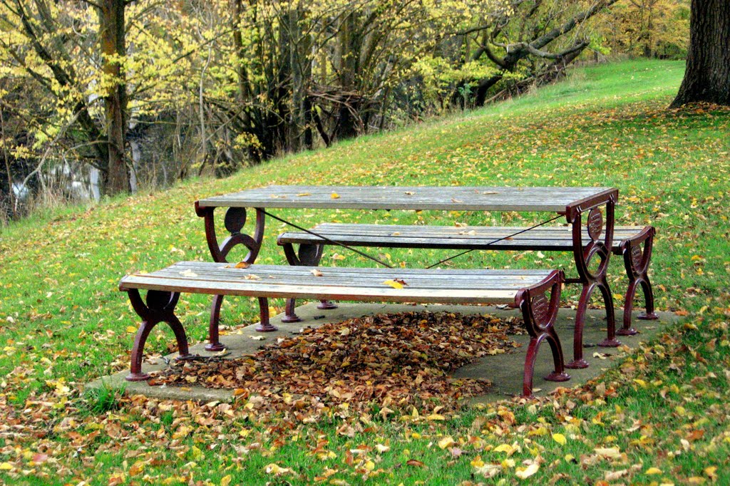
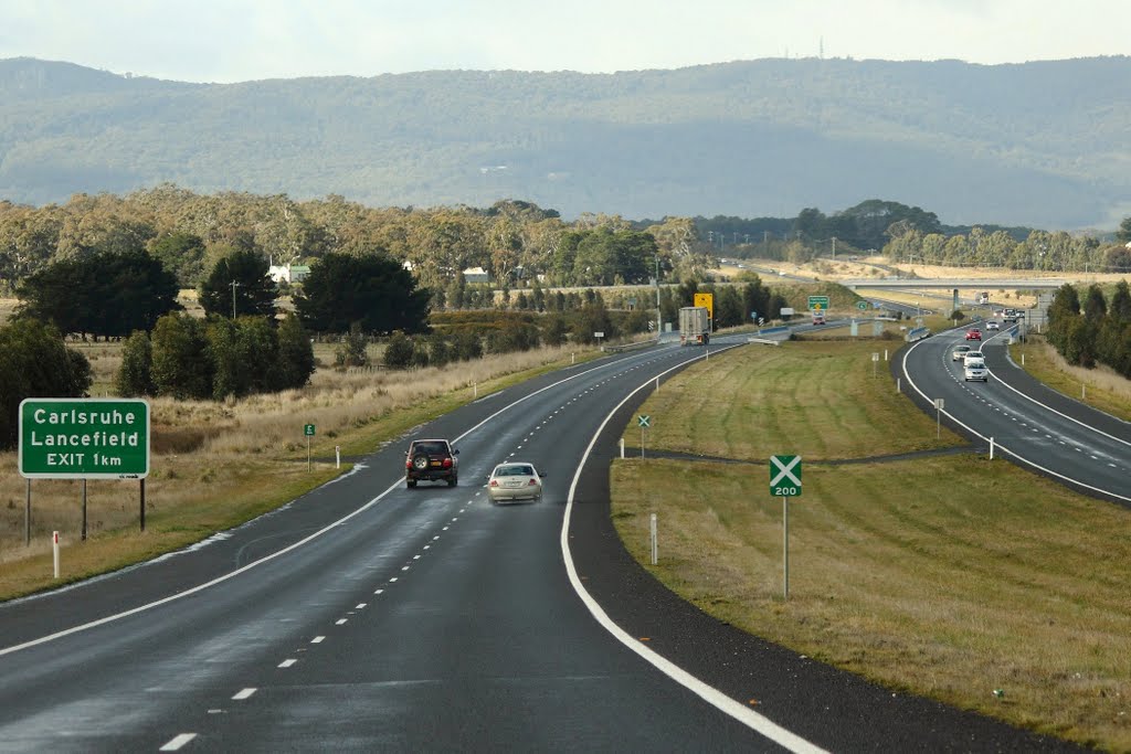
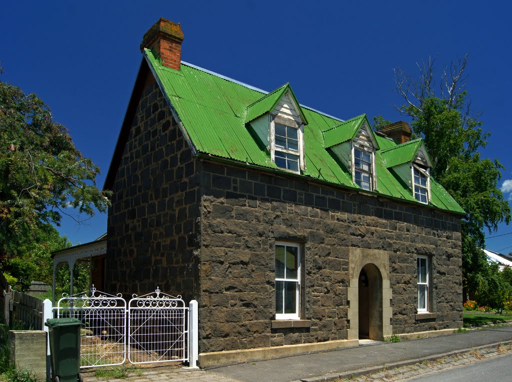
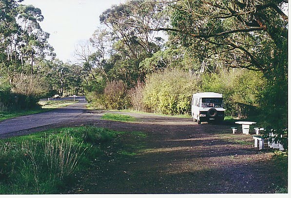
Photos of Carlsruhe
Carlsruhe Weather

Predicción: Light rain
Temperatura: 10.0°
Humedad: 91%
Hora actual: 10:50 PM
Amanece: 06:49 AM
Anochece: 05:54 PM
Nalangil, Australia
Latitude: -38.303 // Longitude: 143.464
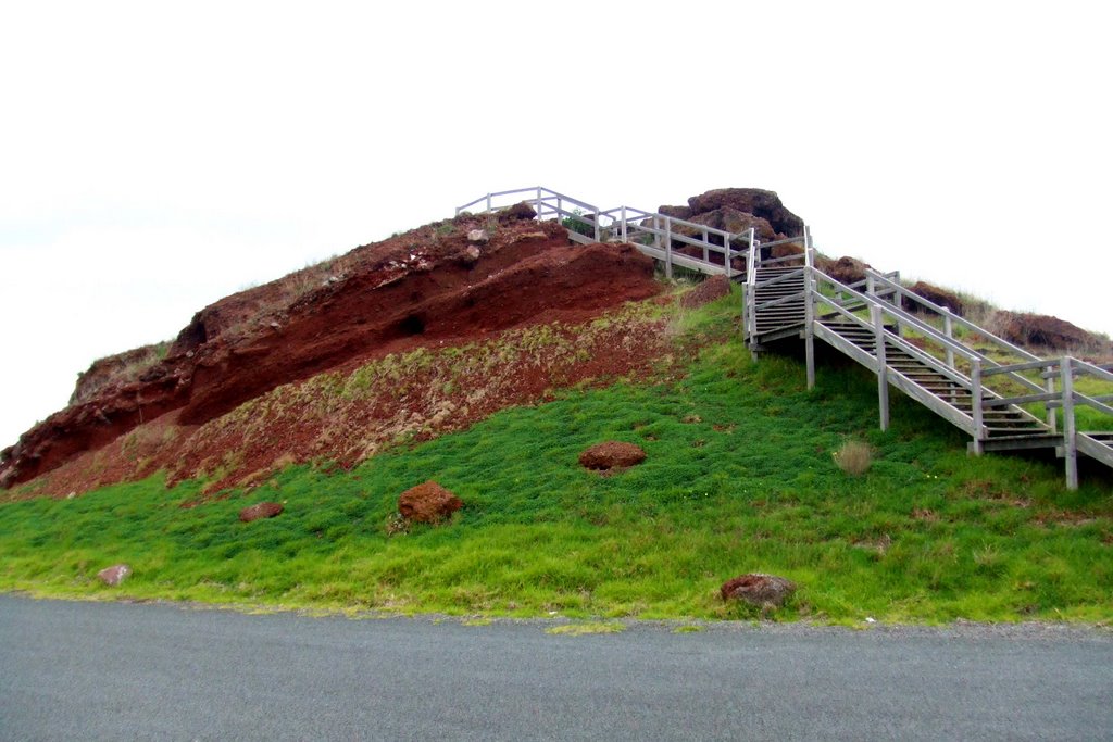
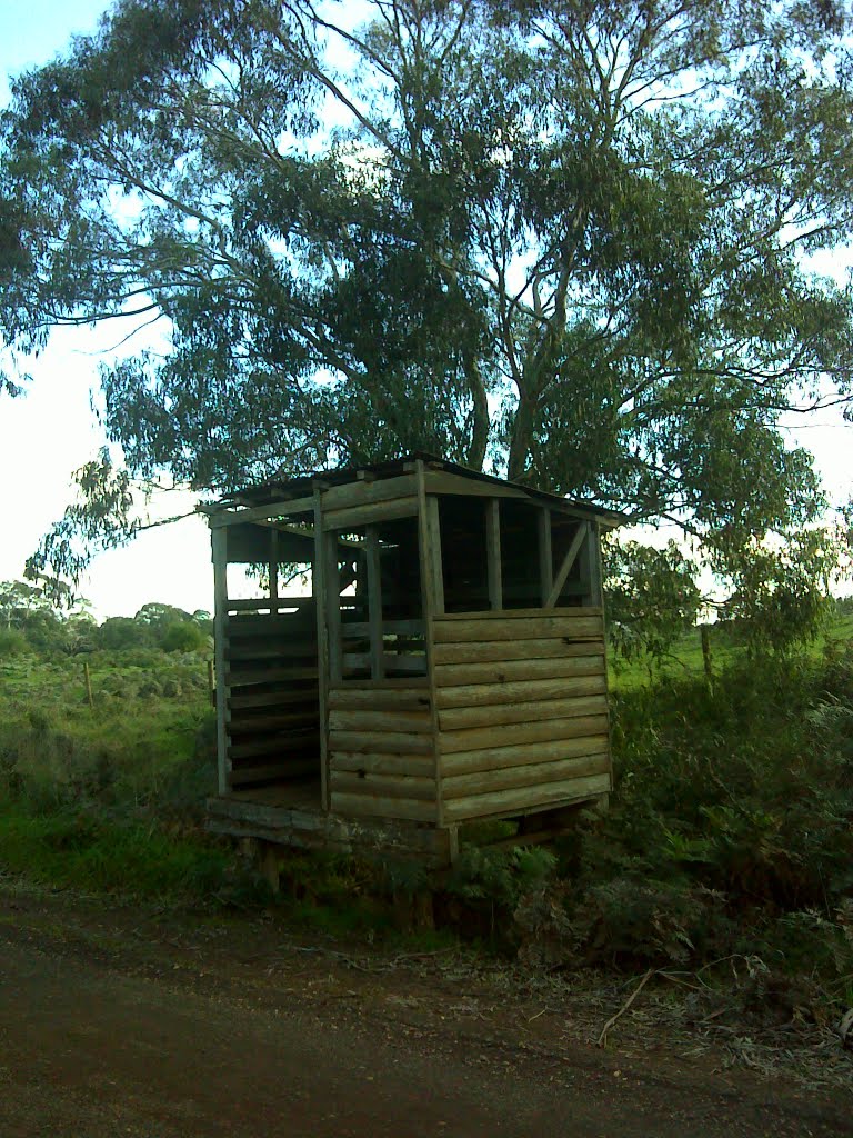
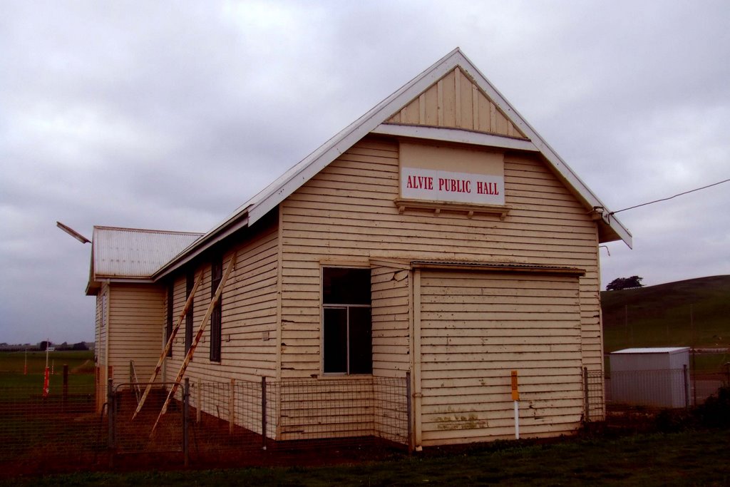
Photos of Nalangil
Nalangil Weather

Predicción: Light rain
Temperatura: 11.6°
Humedad: 84%
Hora actual: 10:00 AM
Amanece: 06:54 AM
Anochece: 05:57 PM


