Distance between  Cardwell and
  Airlie Beach
223.29 mi Straight Distance
273.12 mi Driving Distance
4 hours 59 mins Estimated Driving Time
The straight distance between Cardwell (Queensland) and Airlie Beach (Queensland) is 223.29 mi, but the driving distance is 273.12 mi.
It takes 5 hours 31 mins to go from Cardwell to Airlie Beach.
Driving directions from Cardwell to Airlie Beach
Distance in kilometers
Straight distance: 359.27 km. Route distance: 439.44 km
Cardwell, Australia
Latitude: -18.2672 // Longitude: 146.03
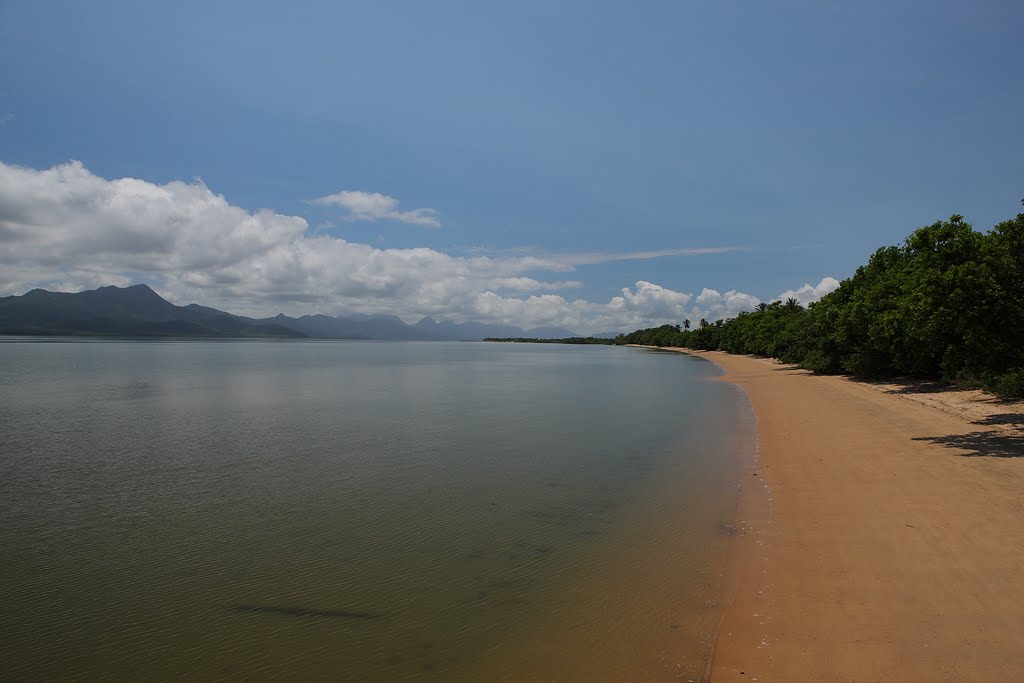
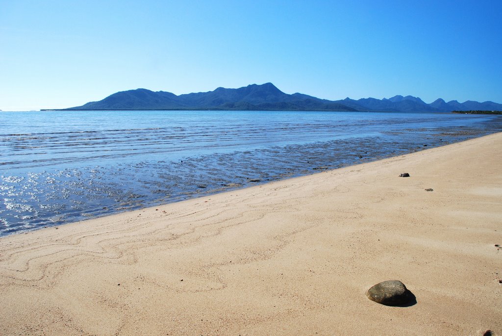
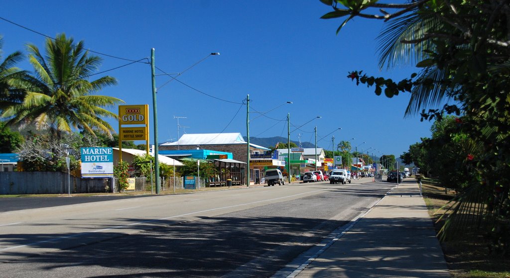
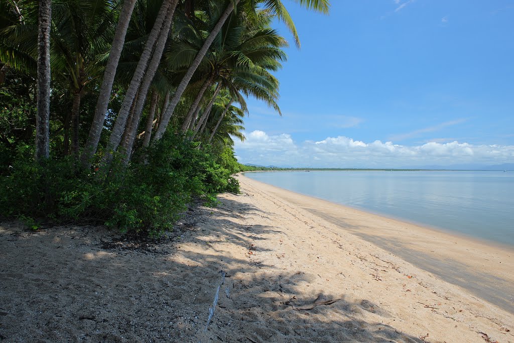
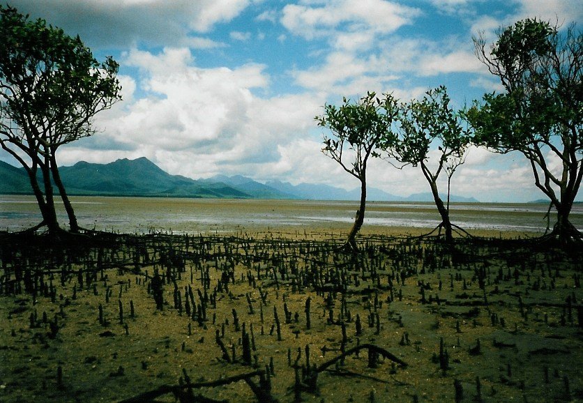
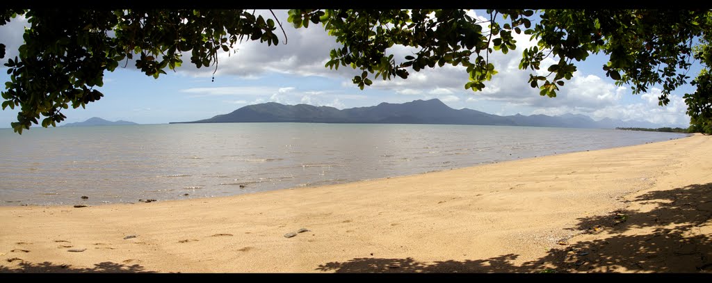
Photos of Cardwell
Cardwell Weather

Predicción: Broken clouds
Temperatura: 23.9°
Humedad: 91%
Hora actual: 02:33 AM
Amanece: 06:25 AM
Anochece: 06:04 PM
Airlie Beach, Australia
Latitude: -20.2687 // Longitude: 148.718
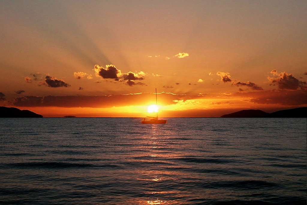
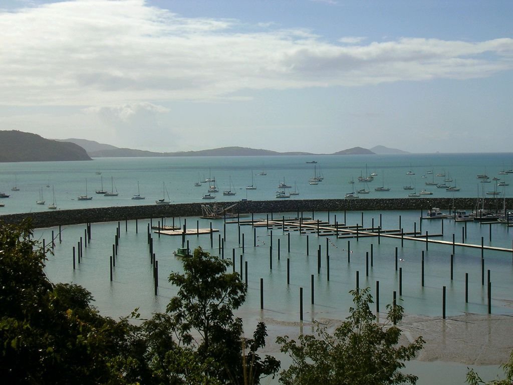
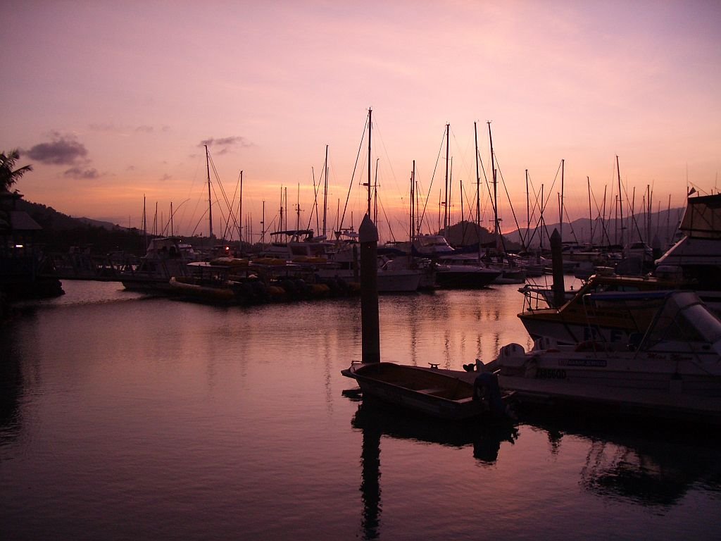
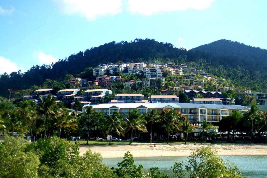
Photos of Airlie Beach
Airlie Beach Weather

Predicción: Broken clouds
Temperatura: 25.0°
Humedad: 81%
Hora actual: 02:33 AM
Amanece: 06:16 AM
Anochece: 05:52 PM


