Distance between  Carboor and
  Charleroi
40.10 mi Straight Distance
69.26 mi Driving Distance
1 hour 29 mins Estimated Driving Time
The straight distance between Carboor (Victoria) and Charleroi (Victoria) is 40.10 mi, but the driving distance is 69.26 mi.
It takes 1 hour 21 mins to go from Carboor to Charleroi.
Driving directions from Carboor to Charleroi
Distance in kilometers
Straight distance: 64.52 km. Route distance: 111.43 km
Carboor, Australia
Latitude: -36.6019 // Longitude: 146.528
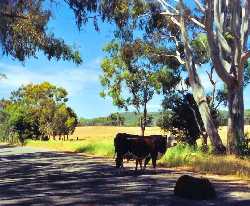
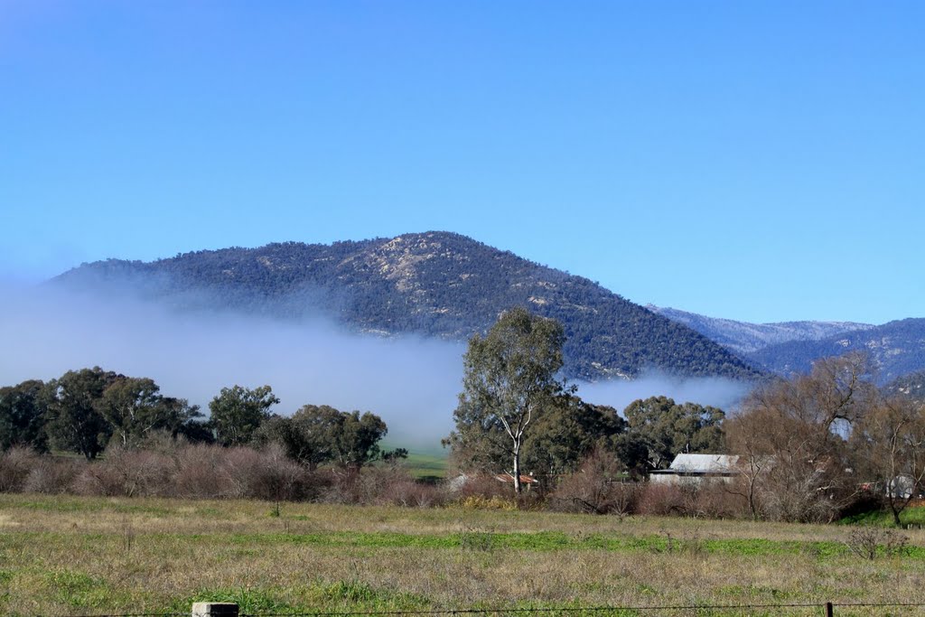
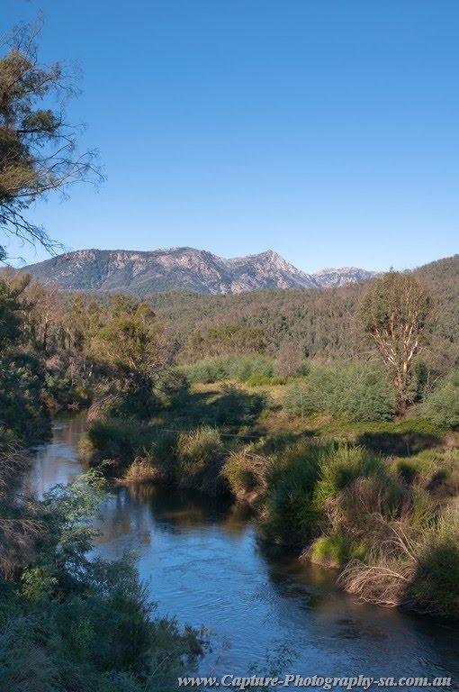
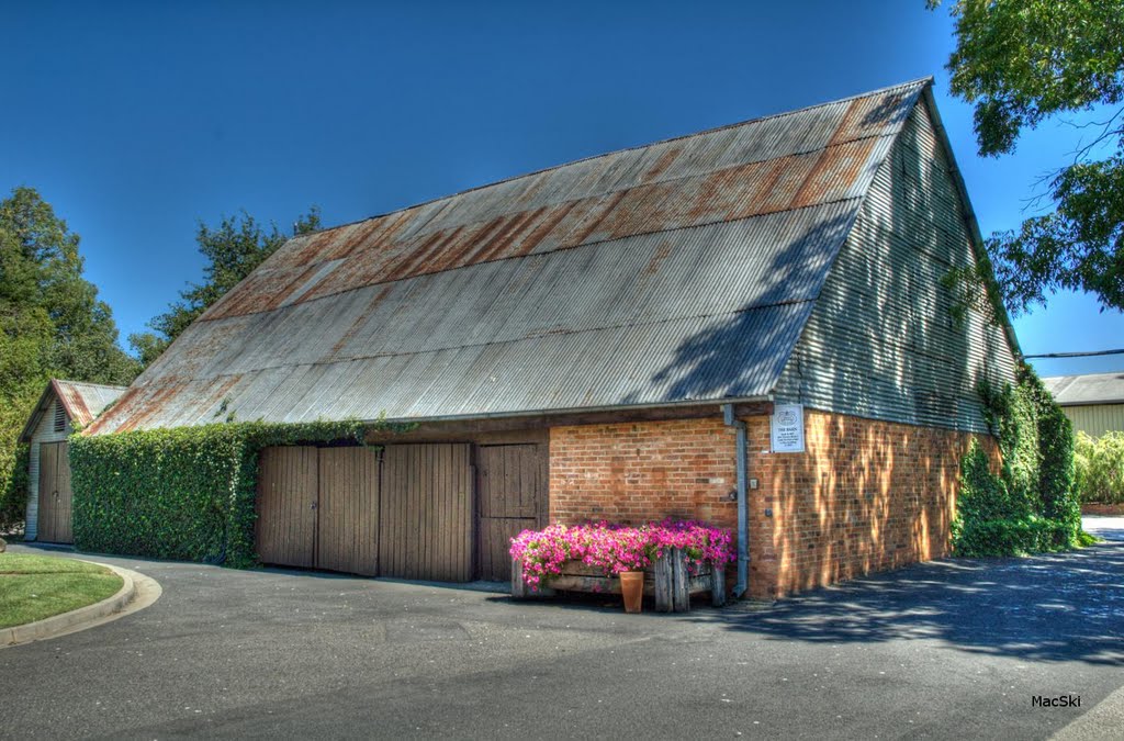
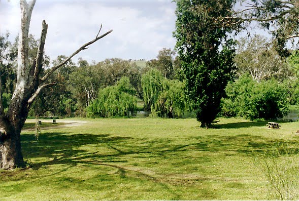
Photos of Carboor
Carboor Weather

Predicción: Overcast clouds
Temperatura: 11.4°
Humedad: 74%
Hora actual: 12:00 AM
Amanece: 08:42 PM
Anochece: 07:43 AM
Charleroi, Australia
Latitude: -36.3337 // Longitude: 147.168
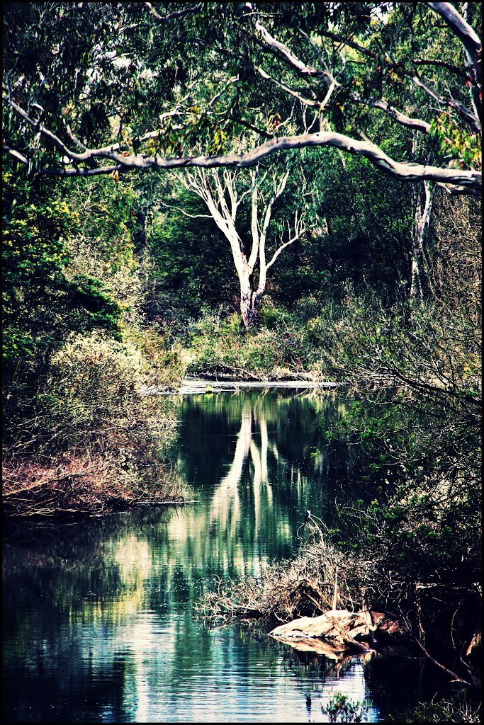
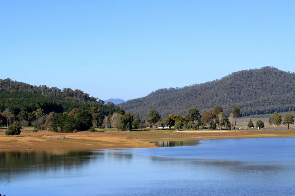
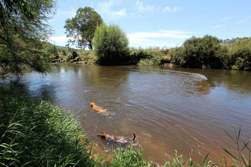
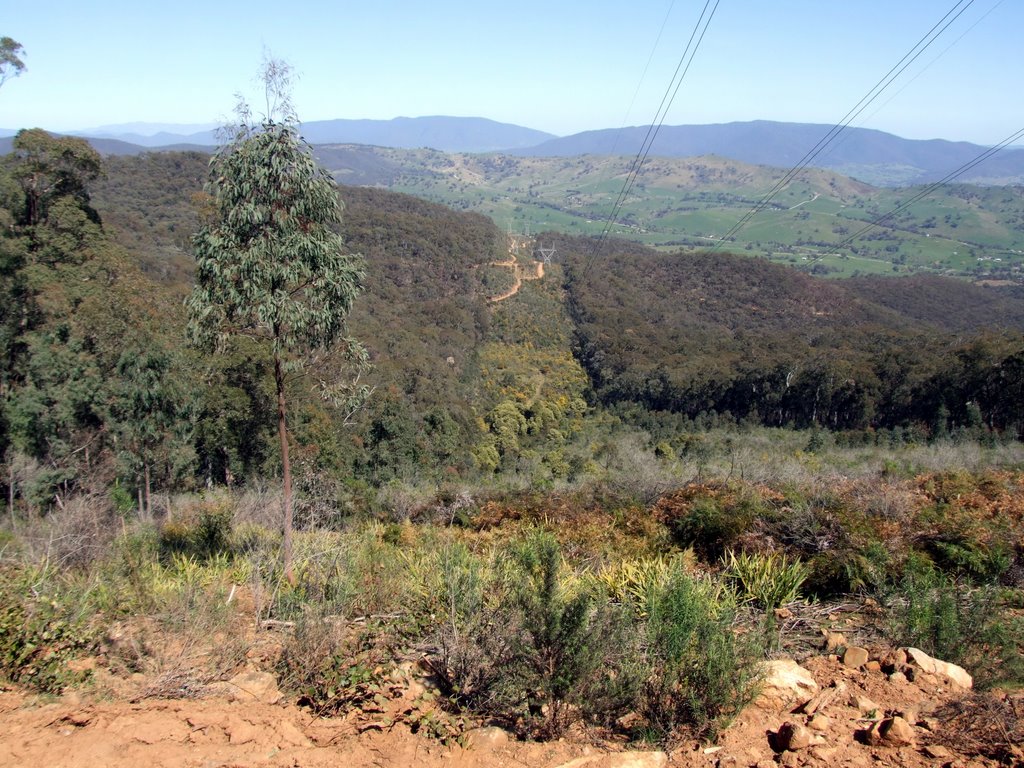
Photos of Charleroi
Charleroi Weather

Predicción: Broken clouds
Temperatura: 4.9°
Humedad: 84%
Hora actual: 12:00 AM
Amanece: 08:39 PM
Anochece: 07:41 AM


