Distance between  Caragabal and
  Tiaro
Tiaro
631.27 mi Straight Distance
778.31 mi Driving Distance
13 hours 16 mins Estimated Driving Time
The straight distance between Caragabal (New South Wales) and Tiaro (Queensland) is 631.27 mi, but the driving distance is 778.31 mi.
It takes to go from Caragabal to Tiaro.
Driving directions from Caragabal to Tiaro
Distance in kilometers
Straight distance: 1,015.71 km. Route distance: 1,252.30 km
Caragabal, Australia
Latitude: -33.844 // Longitude: 147.74
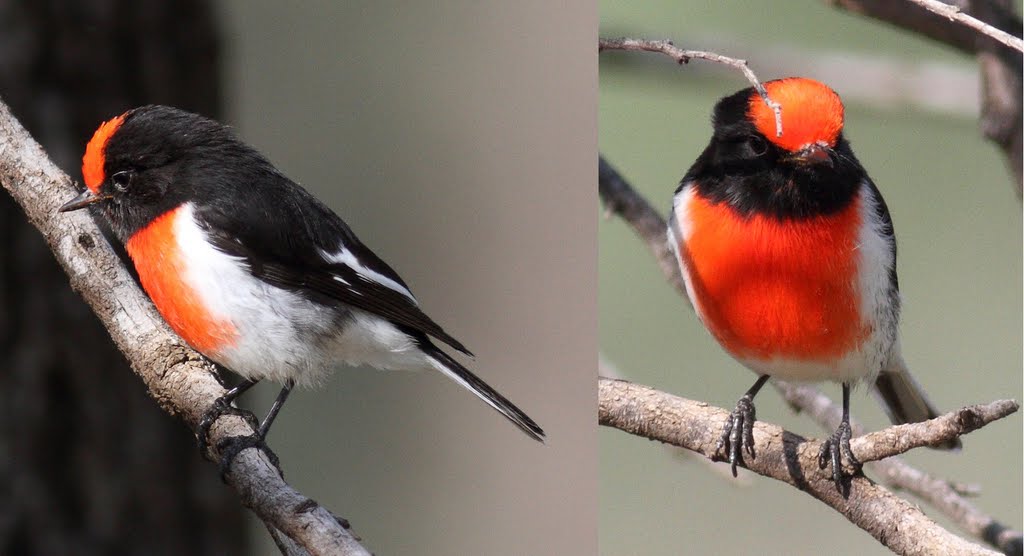
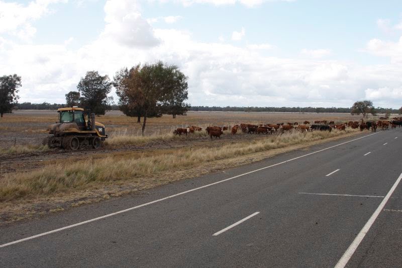
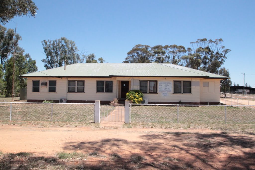
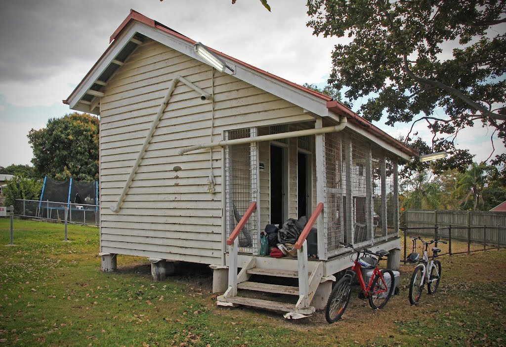
Photos of Caragabal
Caragabal Weather

Predicción: Clear sky
Temperatura: 18.7°
Humedad: 39%
Hora actual: 12:00 AM
Amanece: 08:34 PM
Anochece: 07:42 AM
Tiaro, Australia
Latitude: -25.728 // Longitude: 152.583
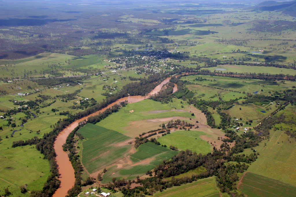
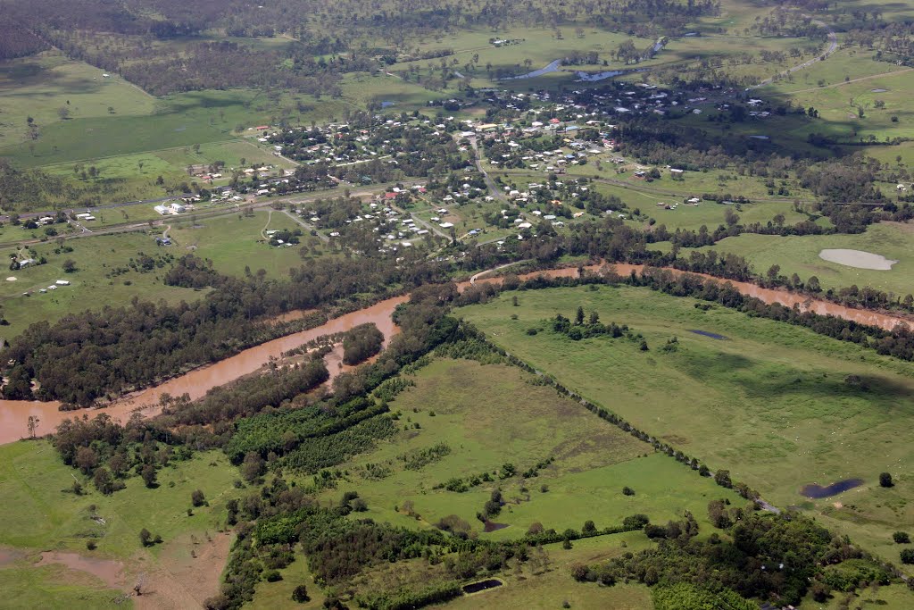
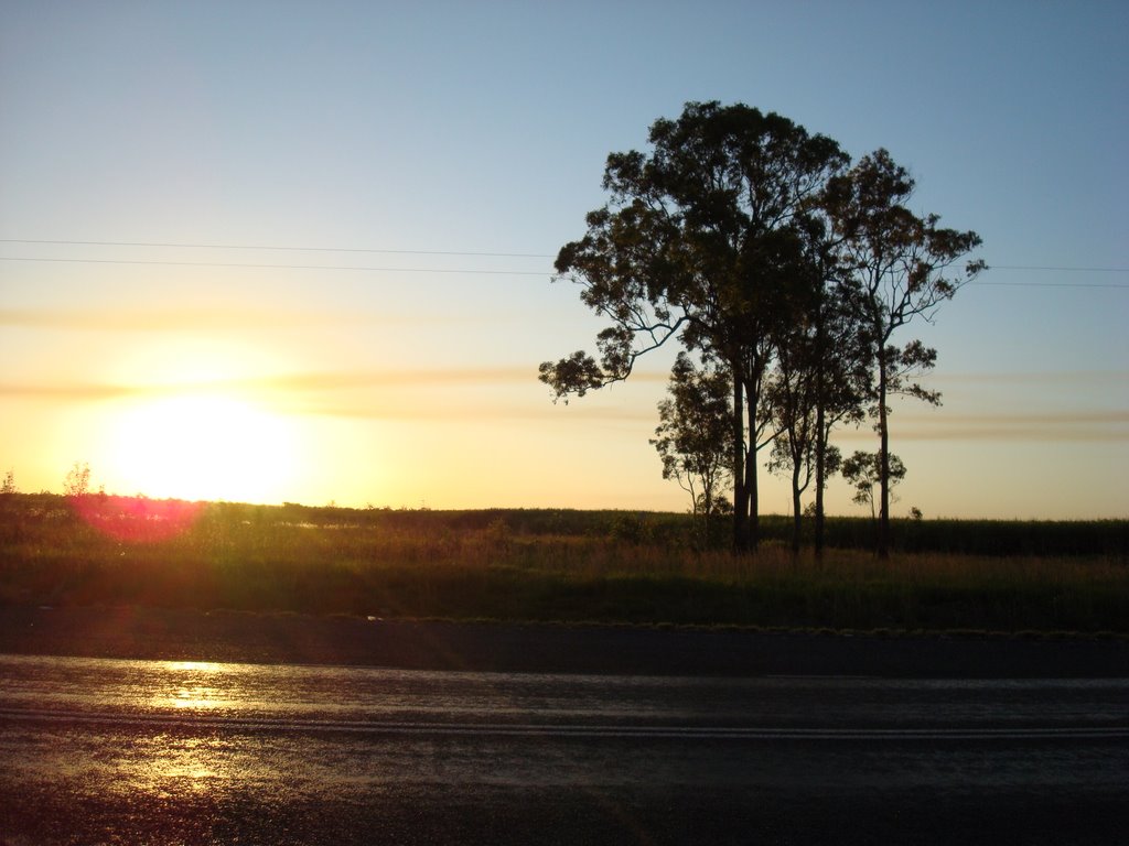
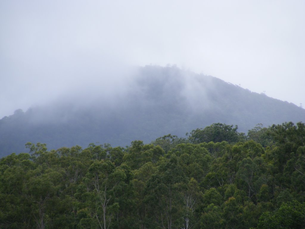
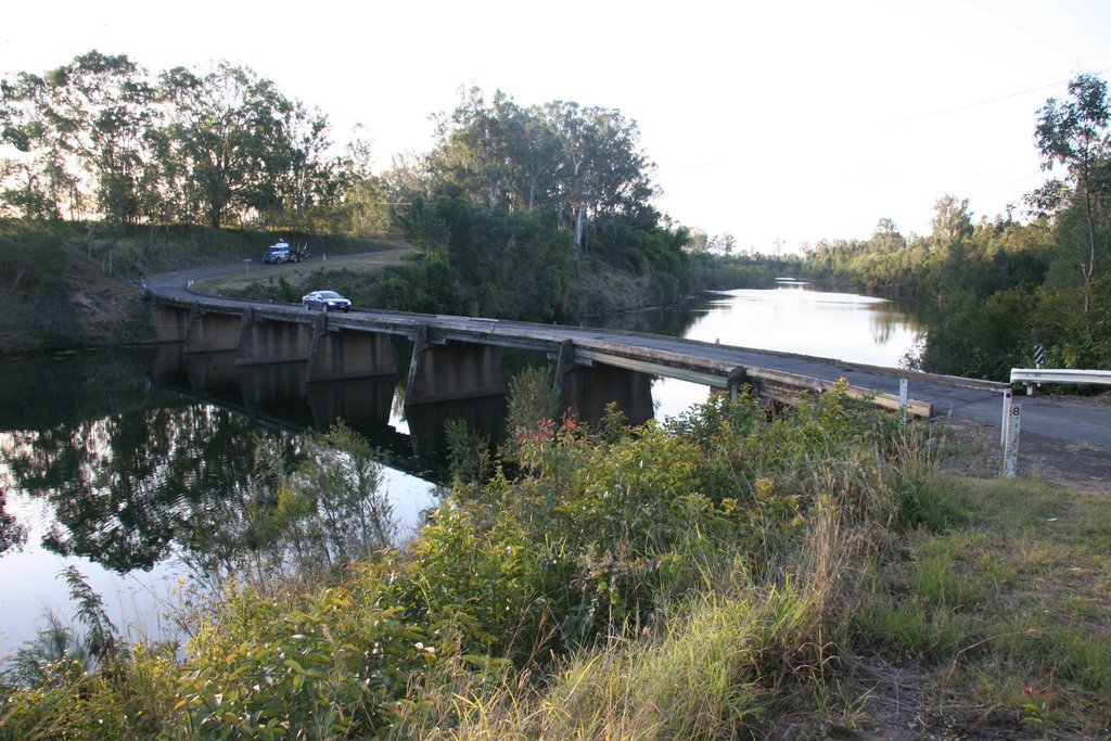
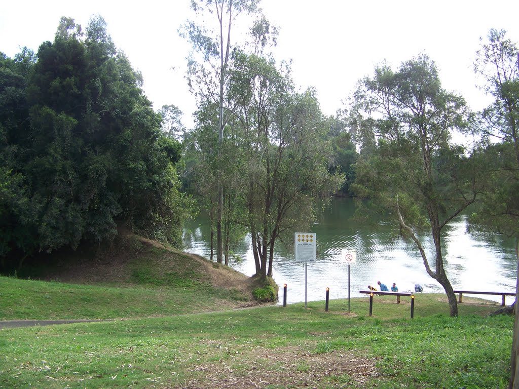
Photos of Tiaro
Tiaro Weather

Predicción: Few clouds
Temperatura: 22.6°
Humedad: 92%
Hora actual: 05:13 PM
Amanece: 06:06 AM
Anochece: 05:31 PM


