Distance between  Capels Crossing and
  Edenhope
176.30 mi Straight Distance
225.04 mi Driving Distance
3 hours 56 mins Estimated Driving Time
The straight distance between Capels Crossing (Victoria) and Edenhope (Victoria) is 176.30 mi, but the driving distance is 225.04 mi.
It takes to go from Capels Crossing to Edenhope.
Driving directions from Capels Crossing to Edenhope
Distance in kilometers
Straight distance: 283.66 km. Route distance: 362.09 km
Capels Crossing, Australia
Latitude: -35.6176 // Longitude: 143.93
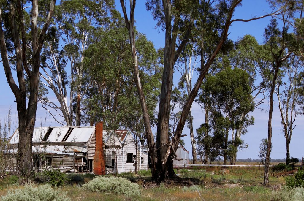
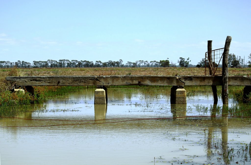
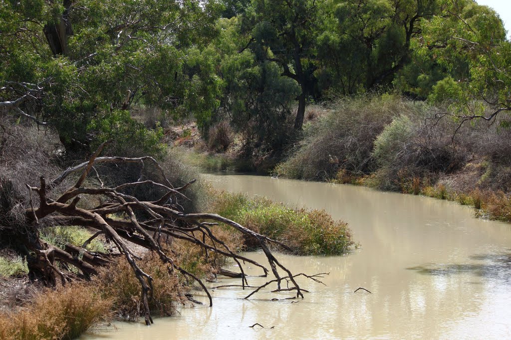
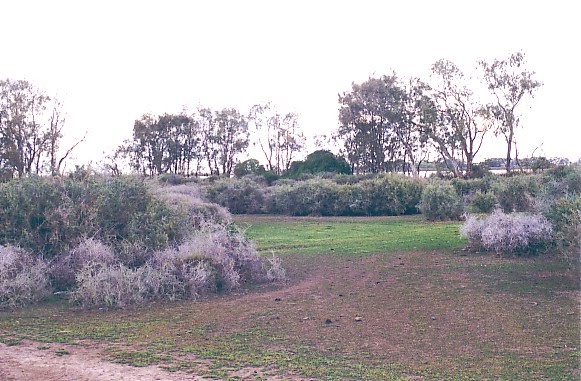
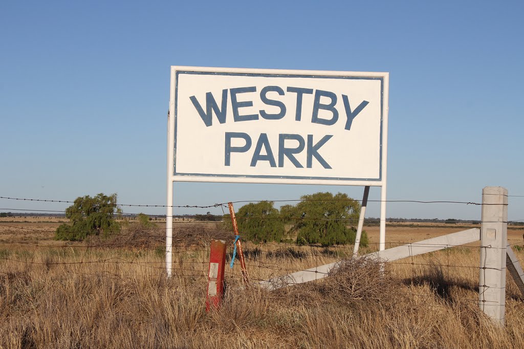
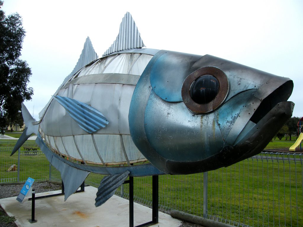
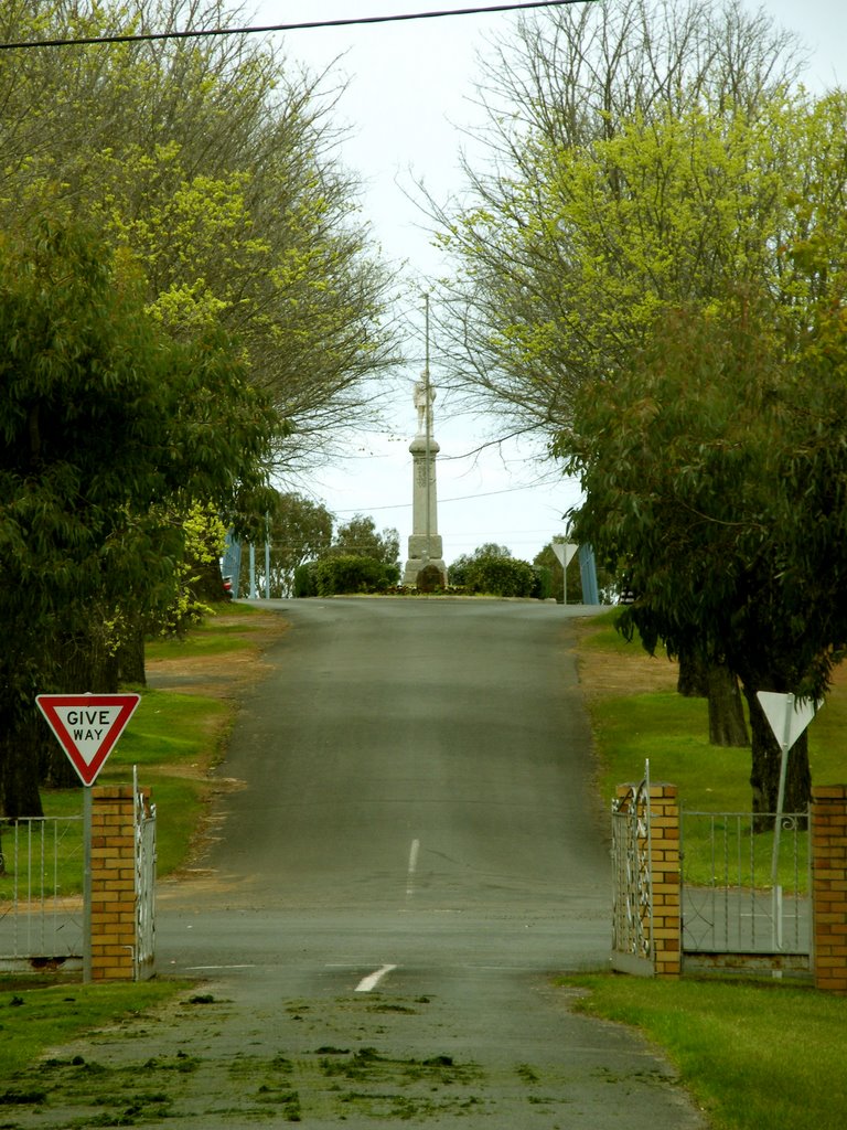
Photos of Capels Crossing
Capels Crossing Weather

Predicción: Broken clouds
Temperatura: 11.2°
Humedad: 83%
Hora actual: 12:00 AM
Amanece: 08:49 PM
Anochece: 07:57 AM
Edenhope, Australia
Latitude: -37.0359 // Longitude: 141.297
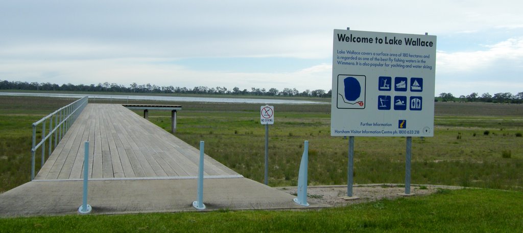
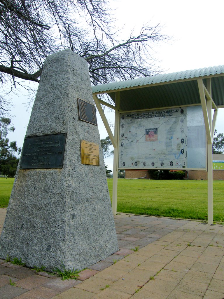
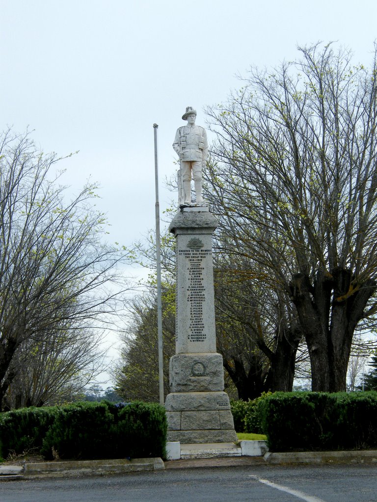
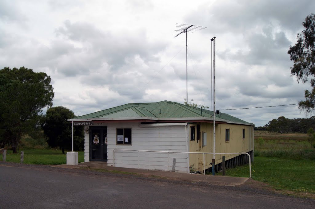
Photos of Edenhope
Edenhope Weather

Predicción: Few clouds
Temperatura: 8.8°
Humedad: 94%
Hora actual: 06:38 AM
Amanece: 07:02 AM
Anochece: 06:06 PM


