Distance between  Capella and
  Cadoux
1,968.37 mi Straight Distance
2,644.43 mi Driving Distance
1 day 18 hours Estimated Driving Time
The straight distance between Capella (Queensland) and Cadoux (Western Australia) is 1,968.37 mi, but the driving distance is 2,644.43 mi.
It takes to go from Capella to Cadoux.
Driving directions from Capella to Cadoux
Distance in kilometers
Straight distance: 3,167.11 km. Route distance: 4,254.89 km
Capella, Australia
Latitude: -23.0861 // Longitude: 148.023
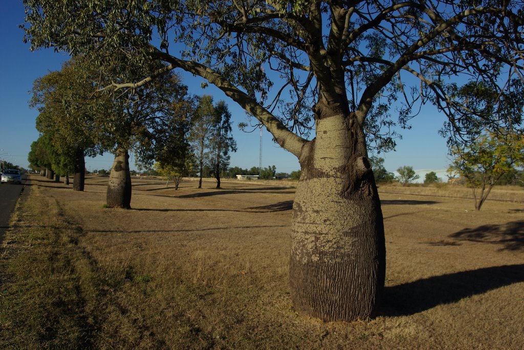
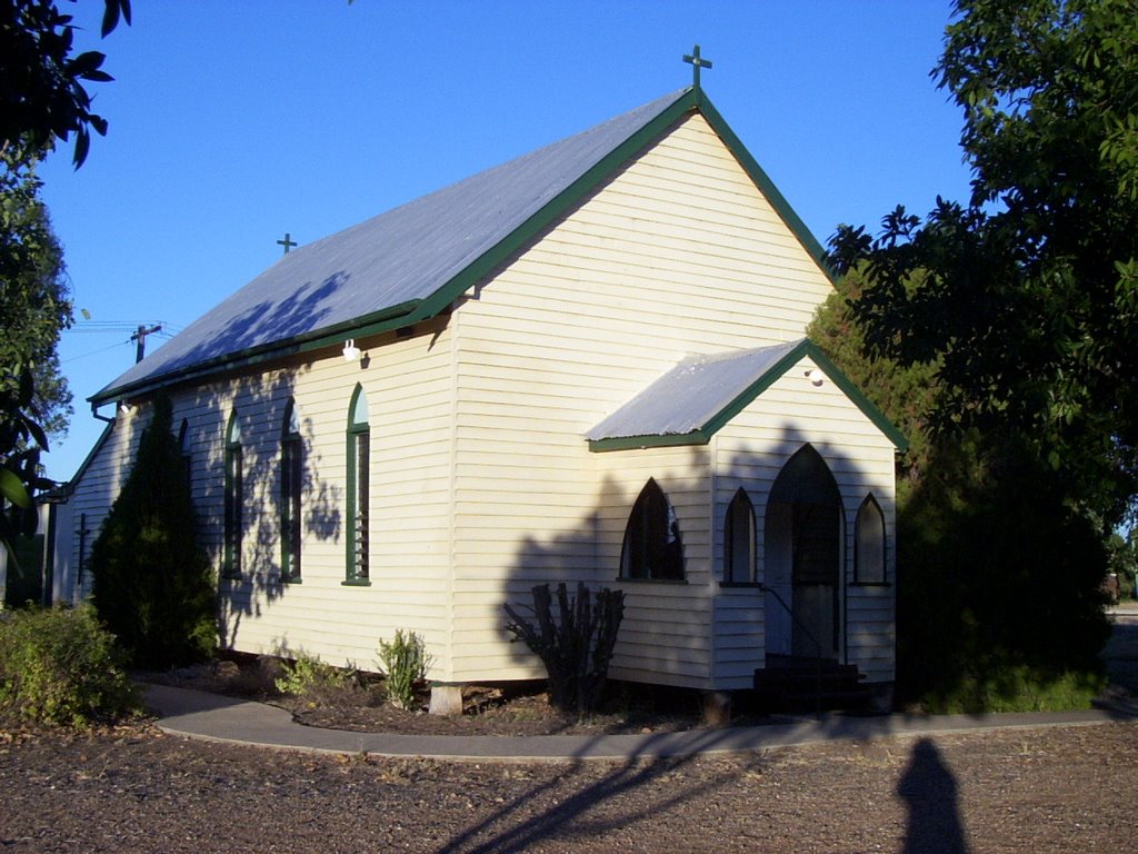
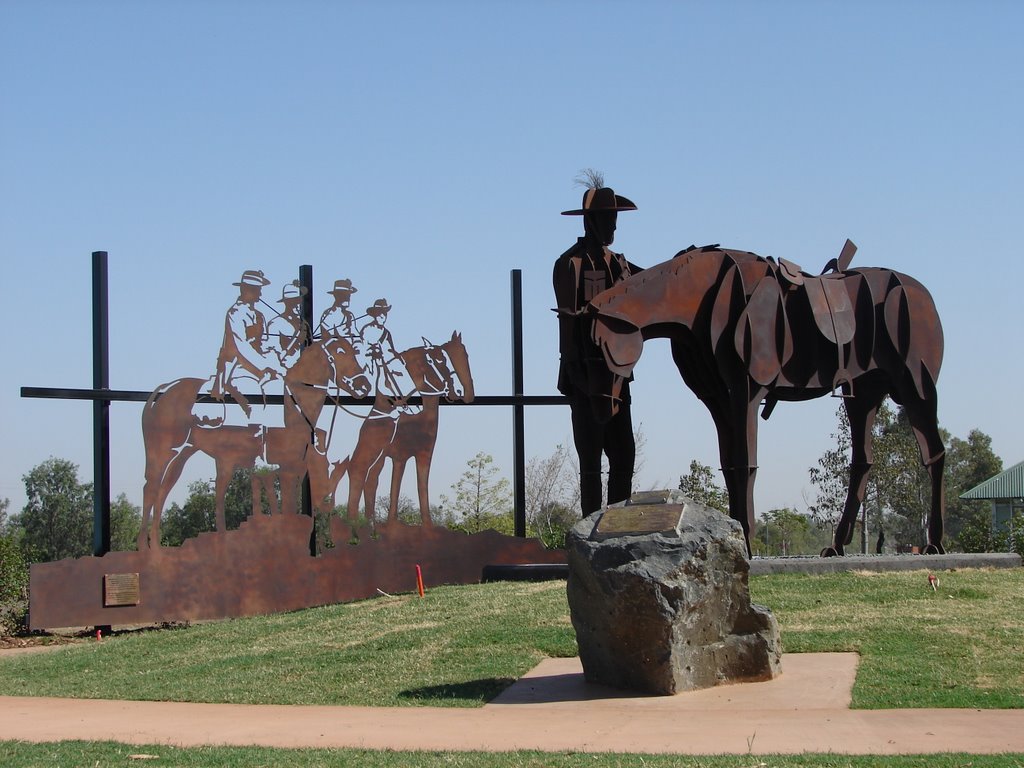
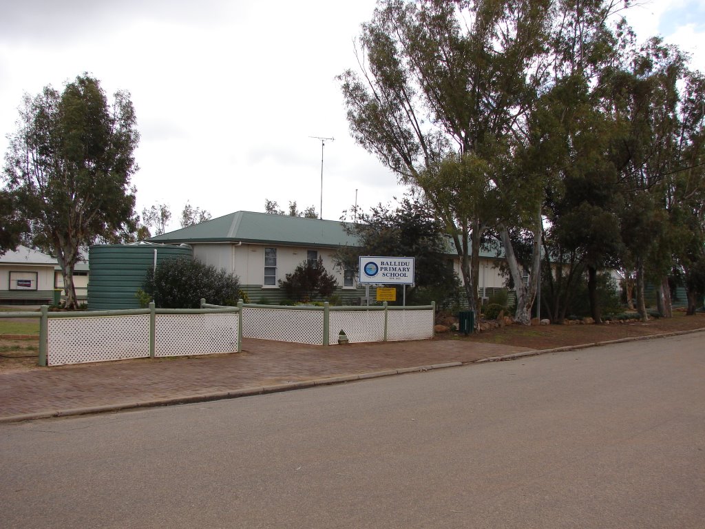
Photos of Capella
Capella Weather

Predicción: Clear sky
Temperatura: 19.9°
Humedad: 86%
Hora actual: 02:29 AM
Amanece: 06:22 AM
Anochece: 05:52 PM
Cadoux, Australia
Latitude: -30.7686 // Longitude: 117.134
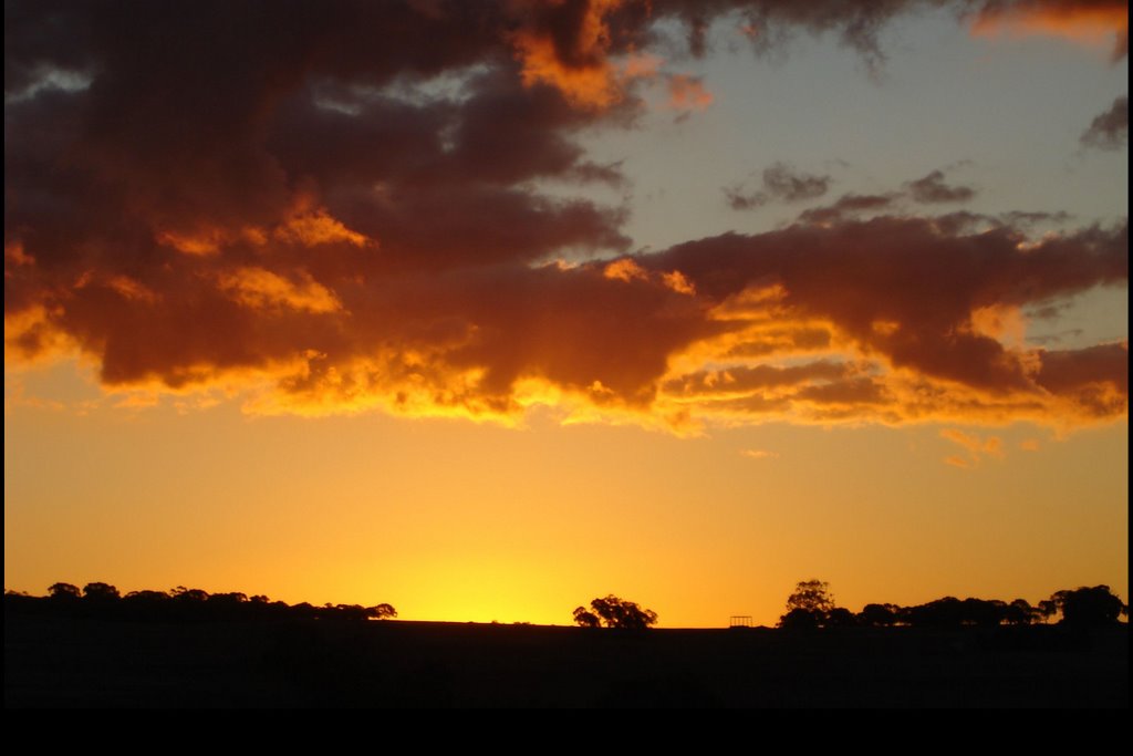
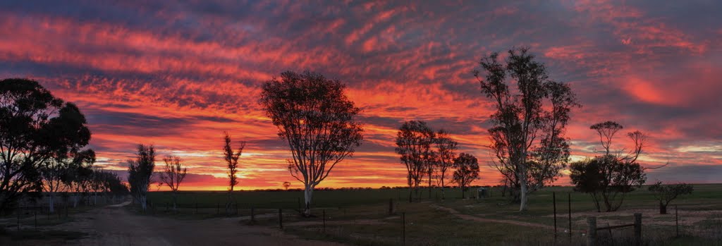
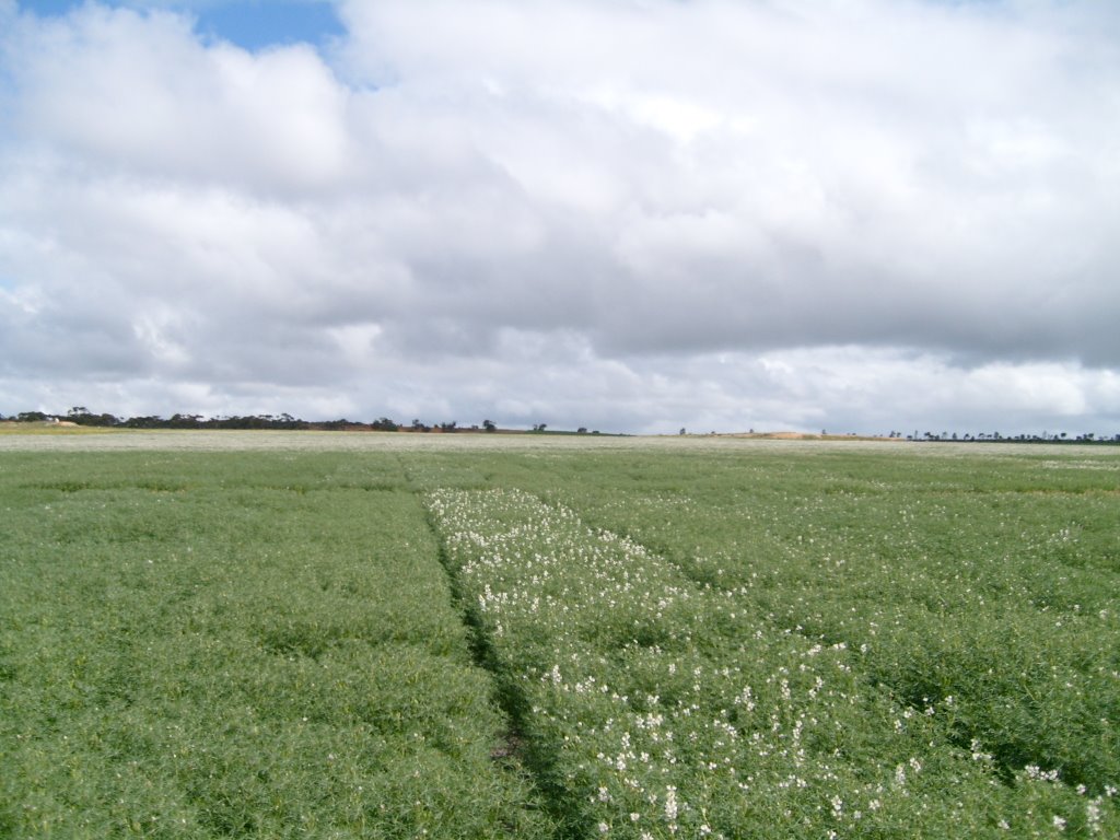
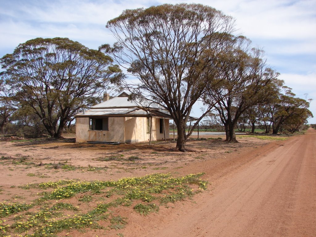
Photos of Cadoux
Cadoux Weather

Predicción: Clear sky
Temperatura: 20.8°
Humedad: 42%
Hora actual: 10:00 AM
Amanece: 08:32 AM
Anochece: 07:49 PM


