Distance between  Capel and
  Redhill
1,301.90 mi Straight Distance
1,554.17 mi Driving Distance
1 days 0 hours Estimated Driving Time
The straight distance between Capel (Western Australia) and Redhill (South Australia) is 1,301.90 mi, but the driving distance is 1,554.17 mi.
It takes 1 day 3 hours to go from Capel to Redhill.
Driving directions from Capel to Redhill
Distance in kilometers
Straight distance: 2,094.75 km. Route distance: 2,500.65 km
Capel, Australia
Latitude: -33.5533 // Longitude: 115.563
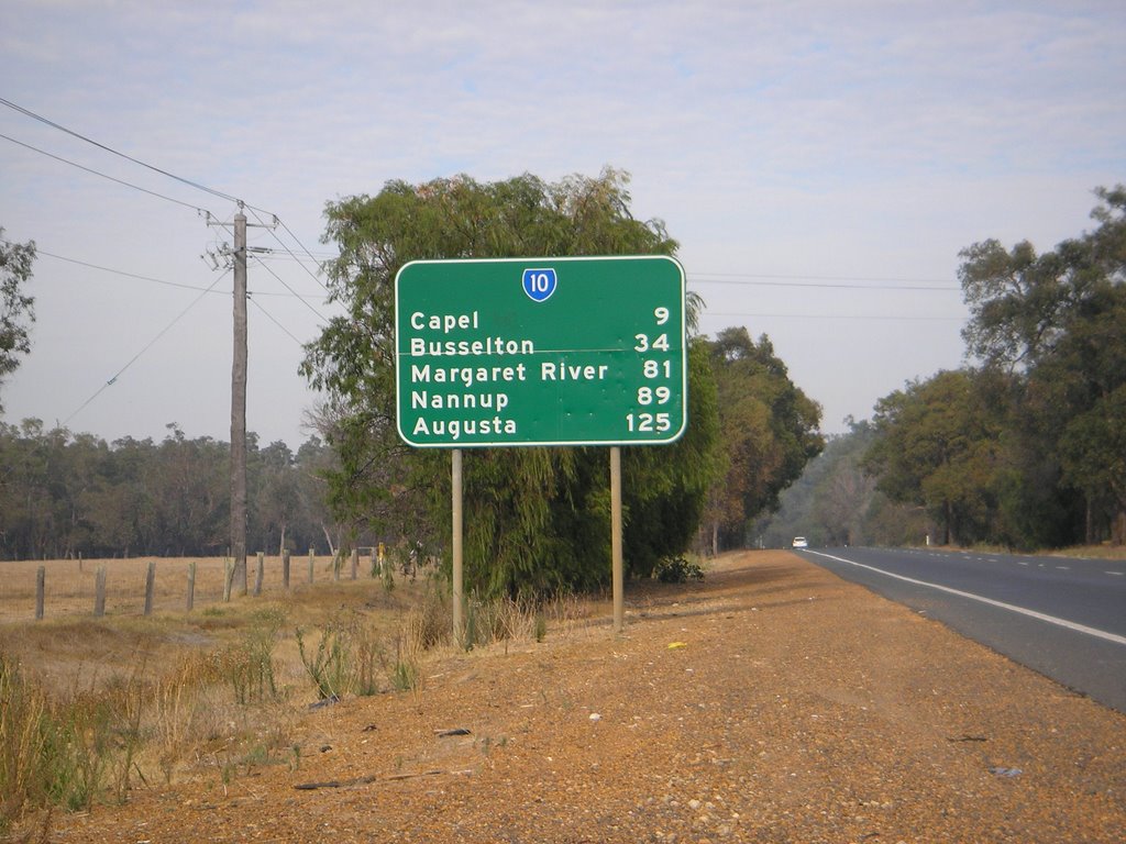
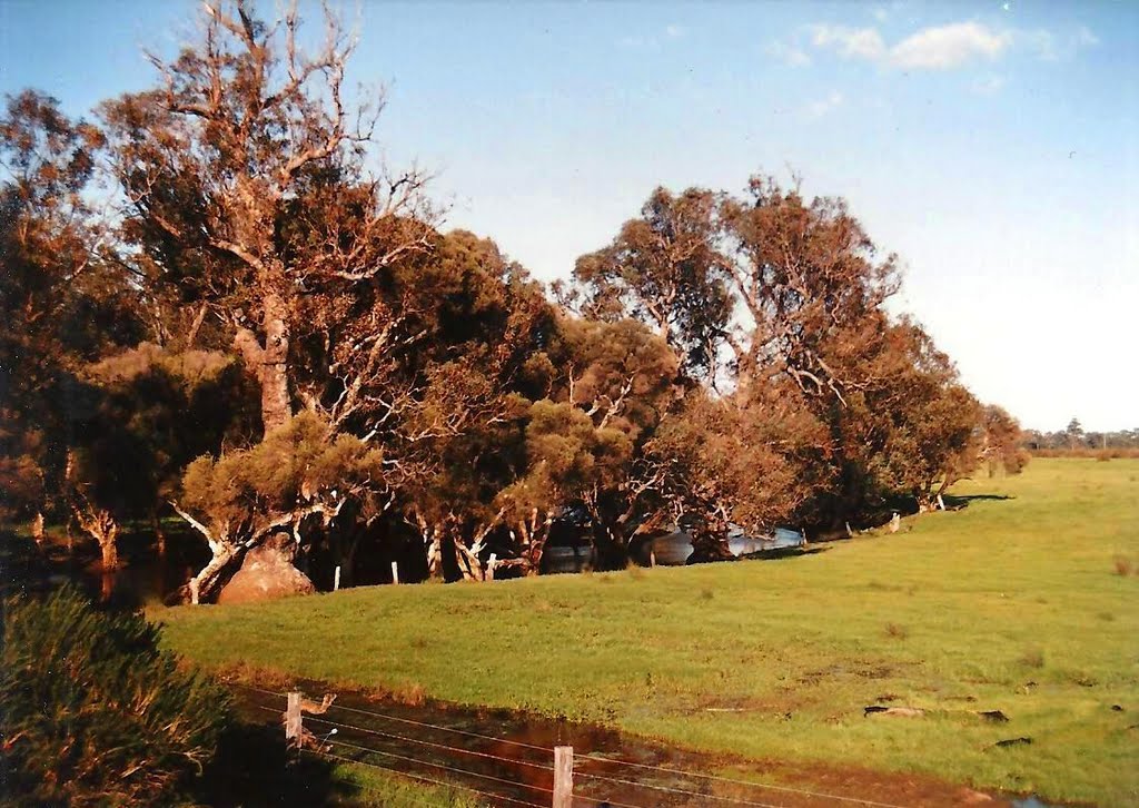
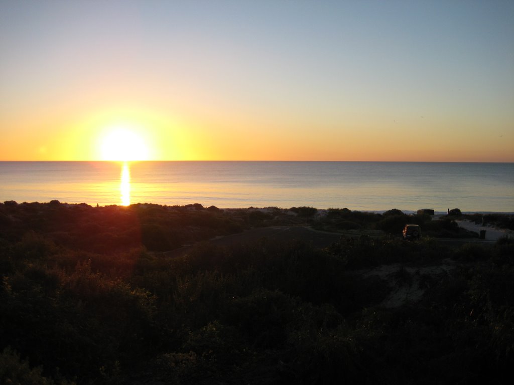
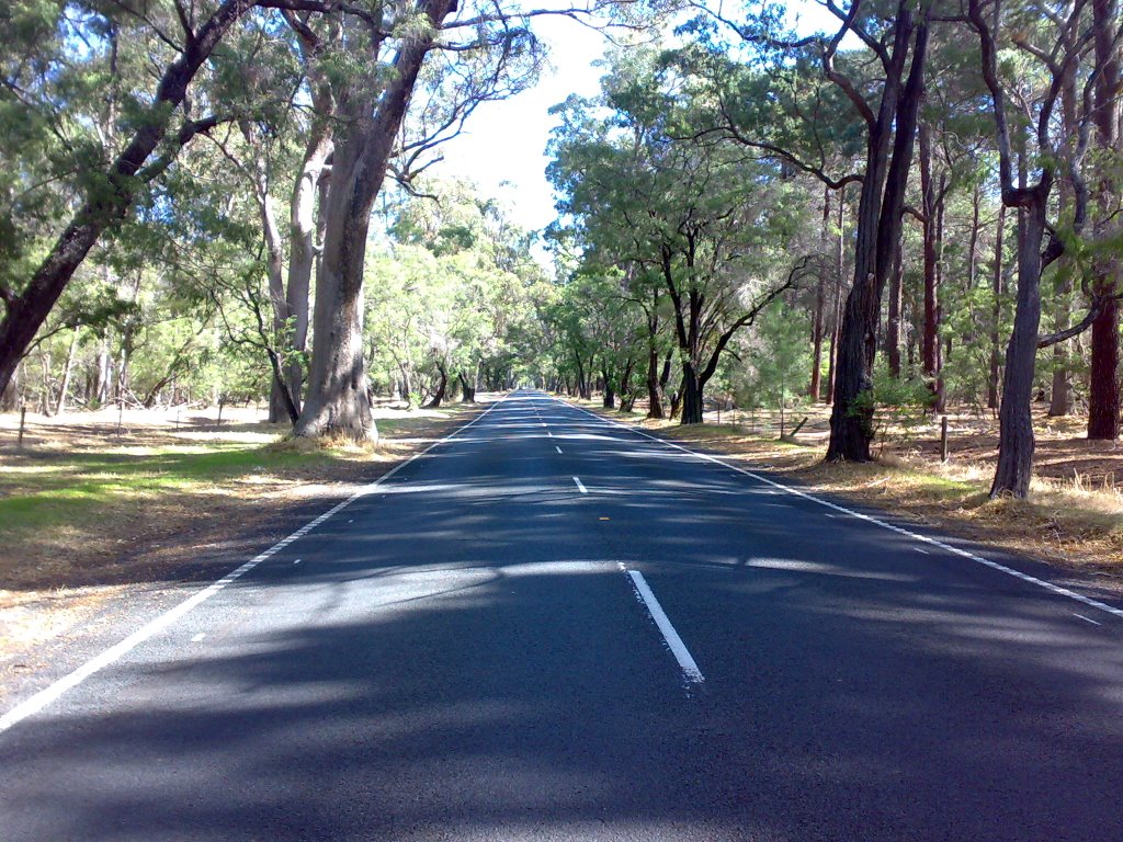
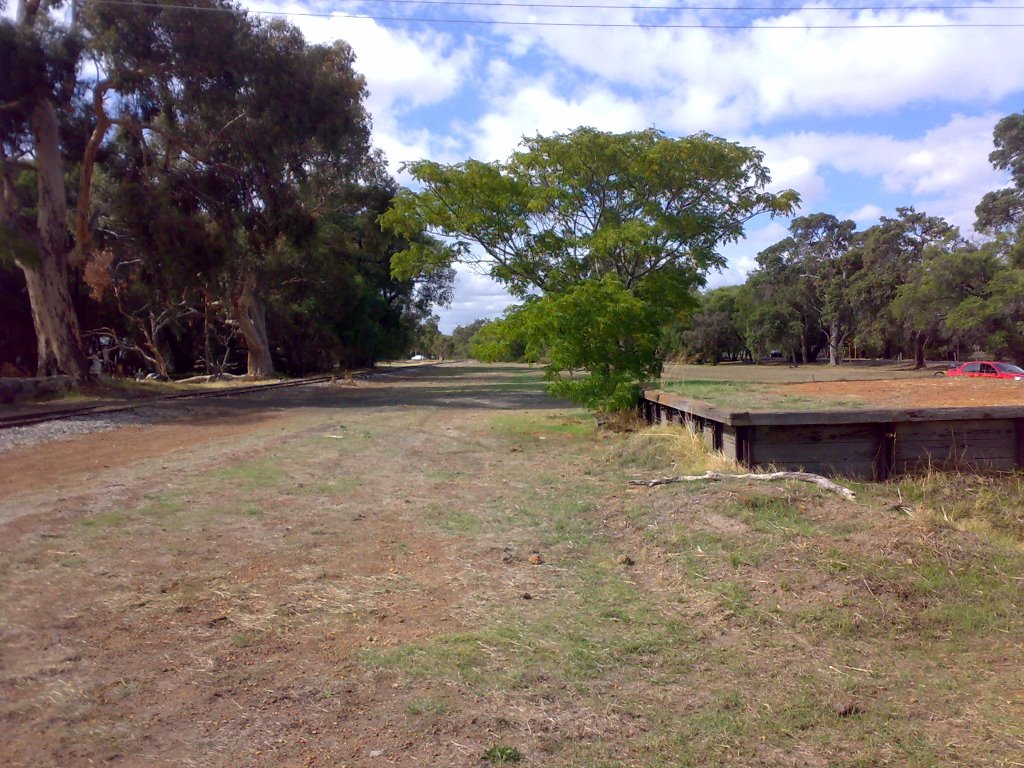
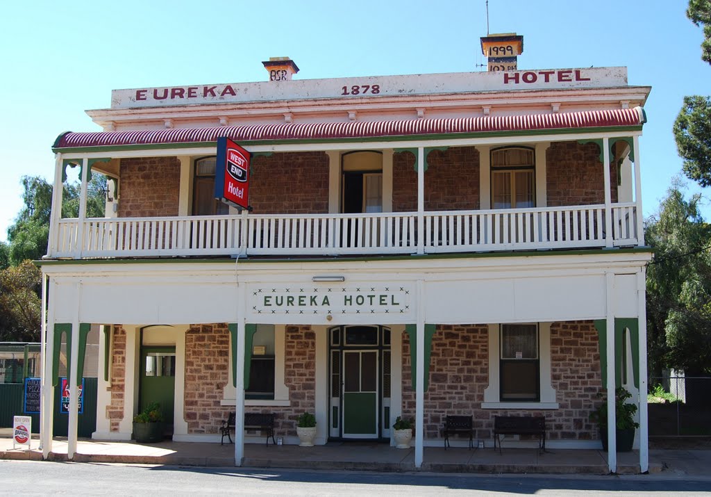
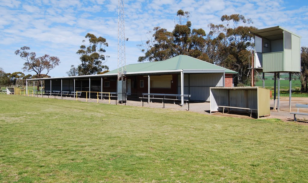
Photos of Capel
Capel Weather

Predicción: Clear sky
Temperatura: 18.7°
Humedad: 41%
Hora actual: 07:45 AM
Amanece: 06:43 AM
Anochece: 05:50 PM
Redhill, Australia
Latitude: -33.5411 // Longitude: 138.217
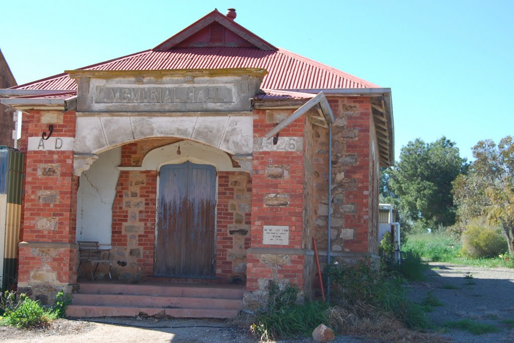
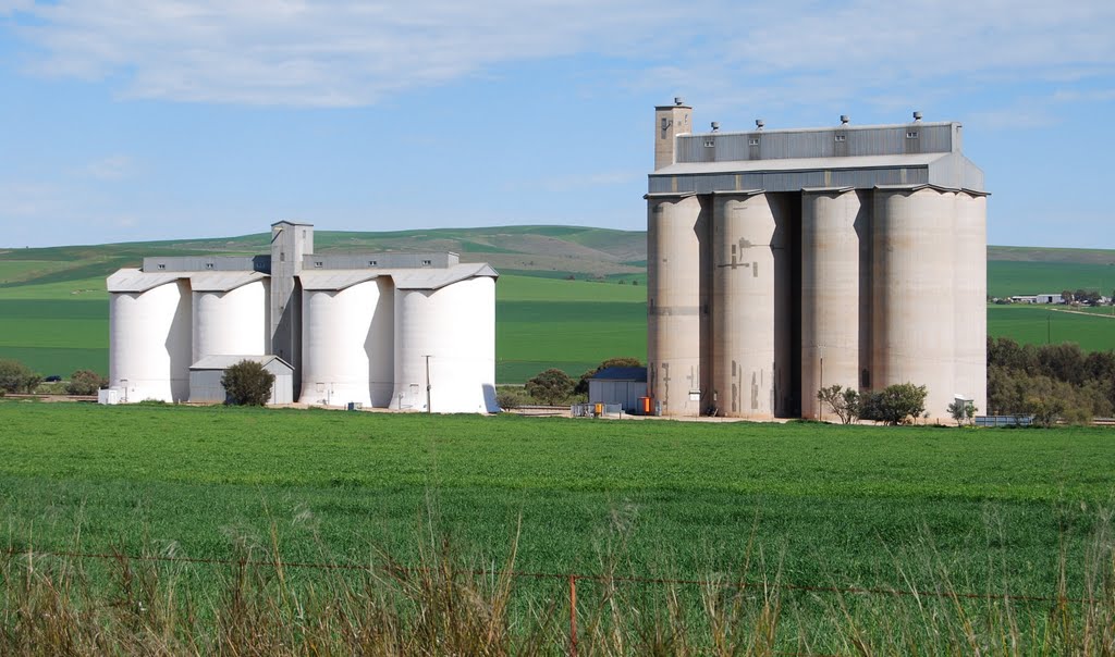
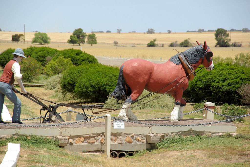
Photos of Redhill
Redhill Weather

Predicción: Overcast clouds
Temperatura: 17.1°
Humedad: 52%
Hora actual: 08:00 AM
Amanece: 05:12 AM
Anochece: 04:19 PM


