Distance between  Cape Burney and
  Cherry Gardens
1,468.08 mi Straight Distance
1,879 mi Driving Distance
1 day 5 hours Estimated Driving Time
The straight distance between Cape Burney (Western Australia) and Cherry Gardens (South Australia) is 1,468.08 mi, but the driving distance is 1,879 mi.
It takes to go from Cape Burney to Cherry Gardens.
Driving directions from Cape Burney to Cherry Gardens
Distance in kilometers
Straight distance: 2,362.14 km. Route distance: 3,023.31 km
Cape Burney, Australia
Latitude: -28.8606 // Longitude: 114.649
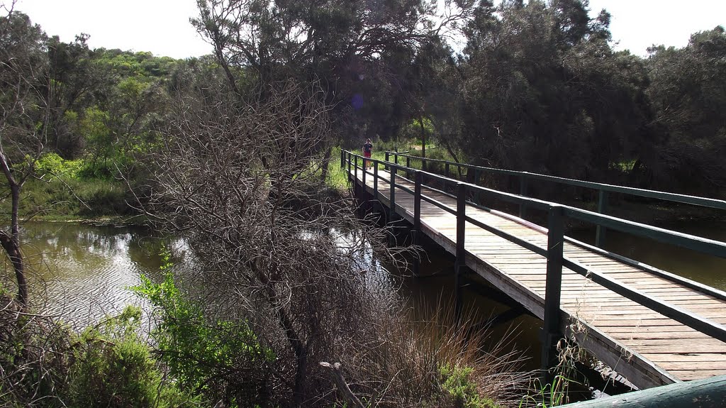
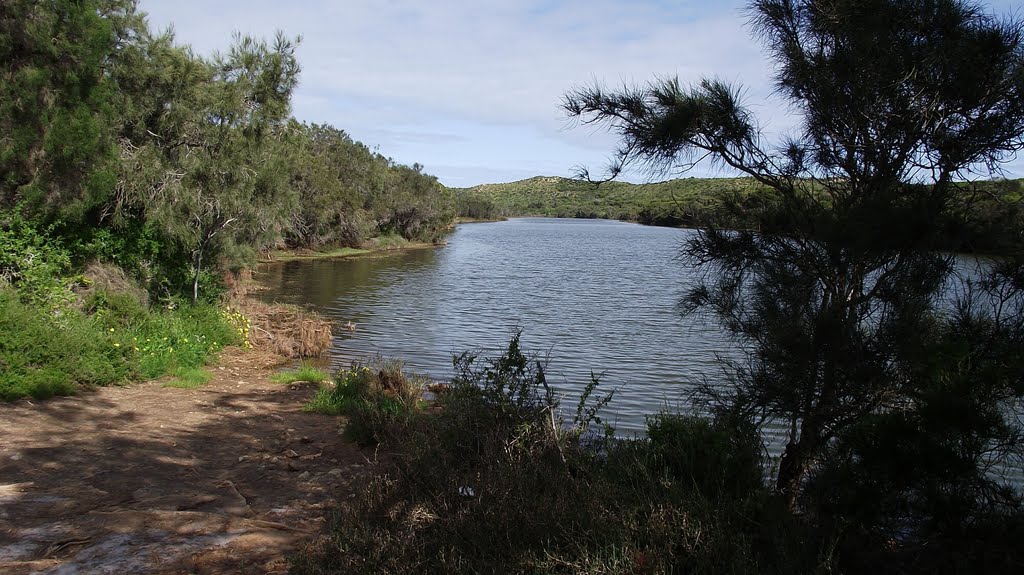
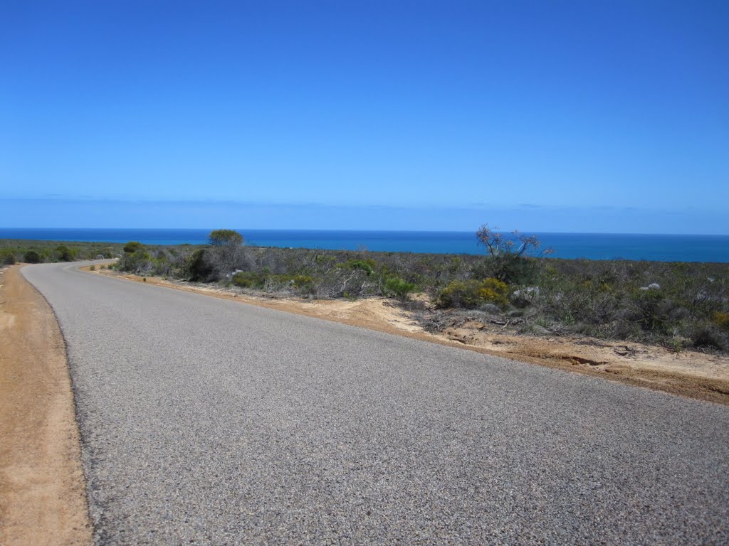
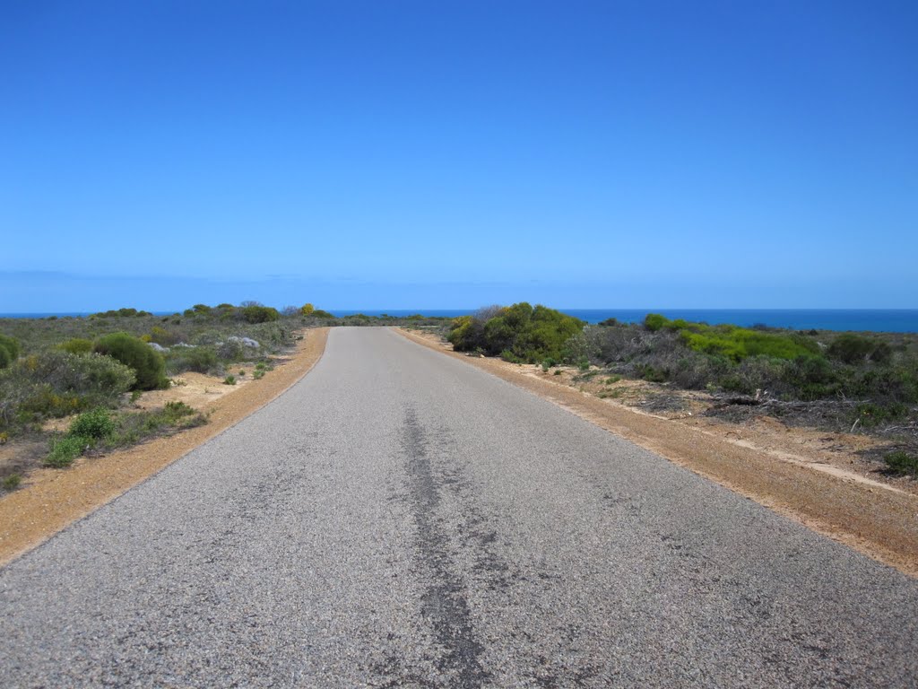
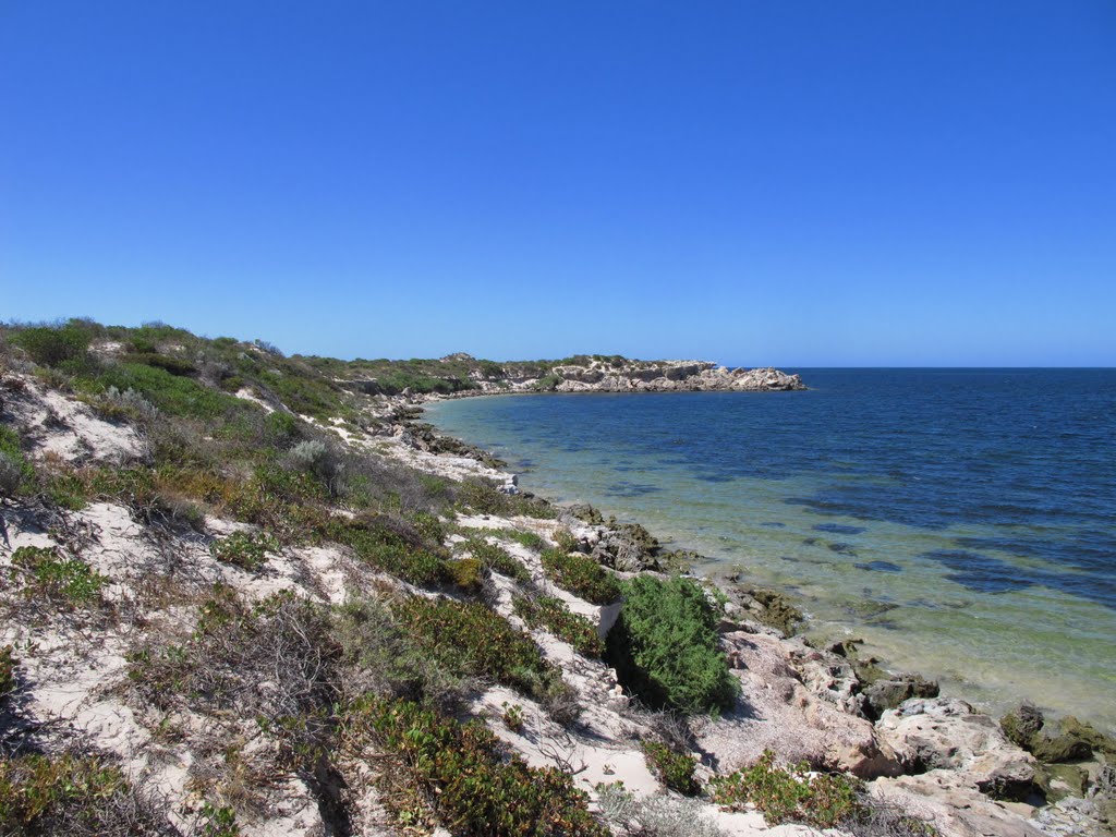
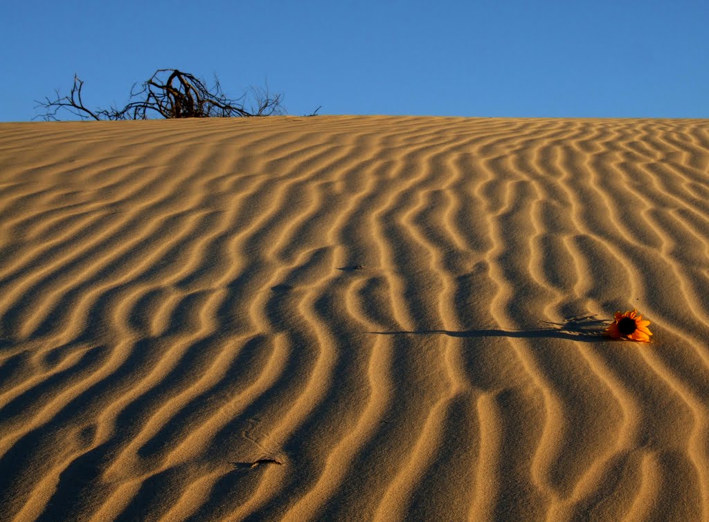
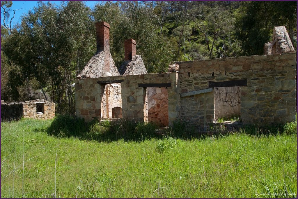
Photos of Cape Burney
Cape Burney Weather

Predicción: Scattered clouds
Temperatura: 24.1°
Humedad: 69%
Hora actual: 07:31 PM
Amanece: 06:40 AM
Anochece: 06:01 PM
Cherry Gardens, Australia
Latitude: -35.0597 // Longitude: 138.679
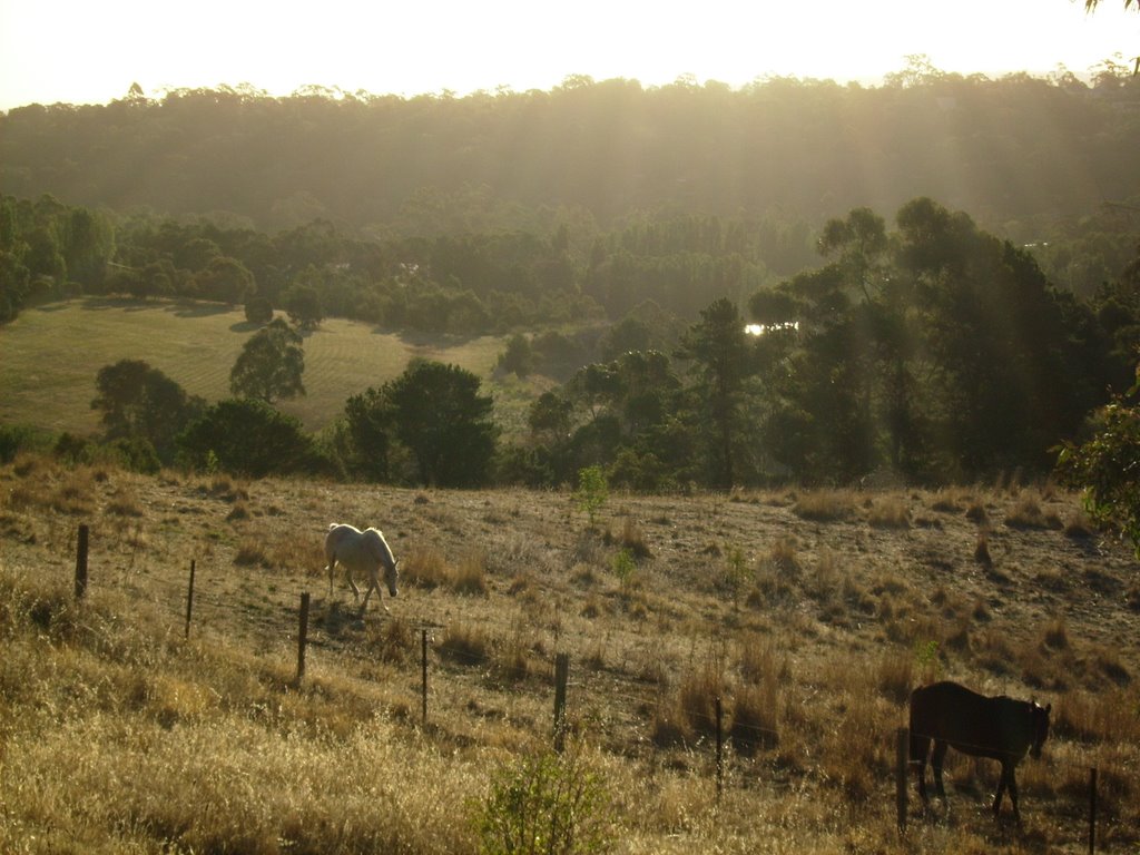
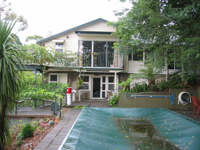
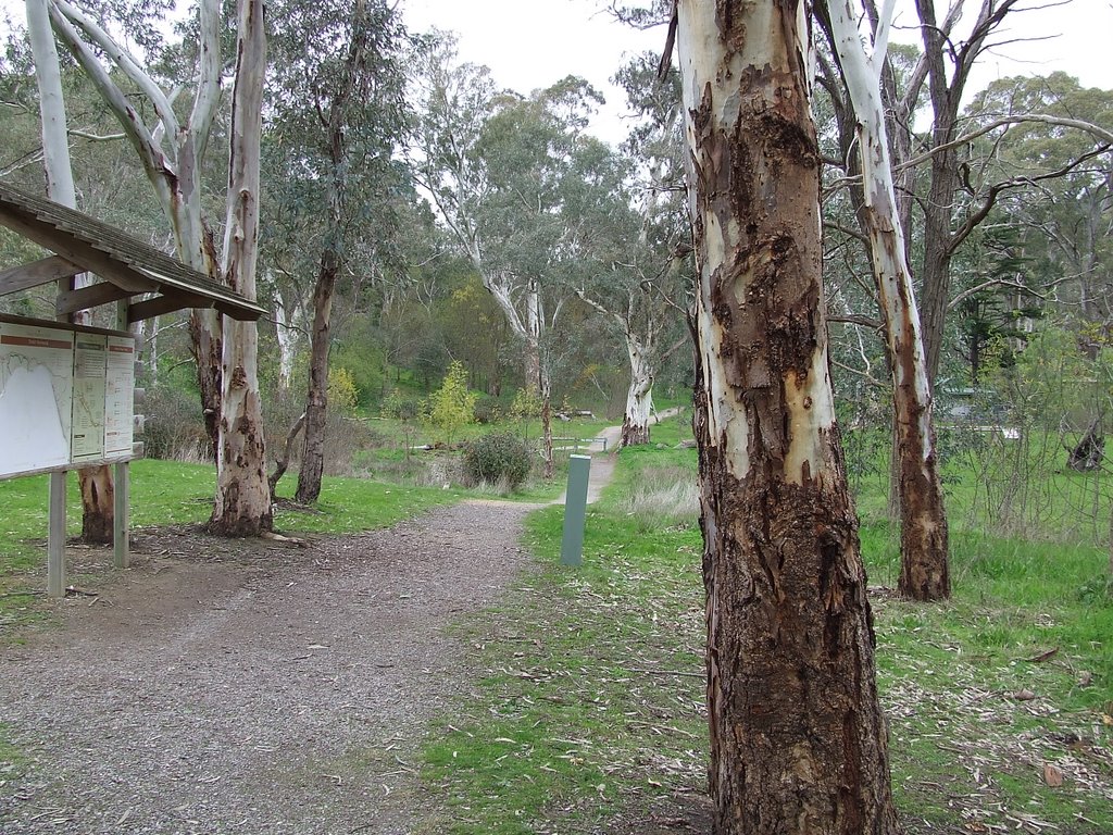
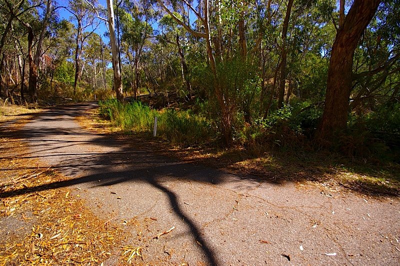
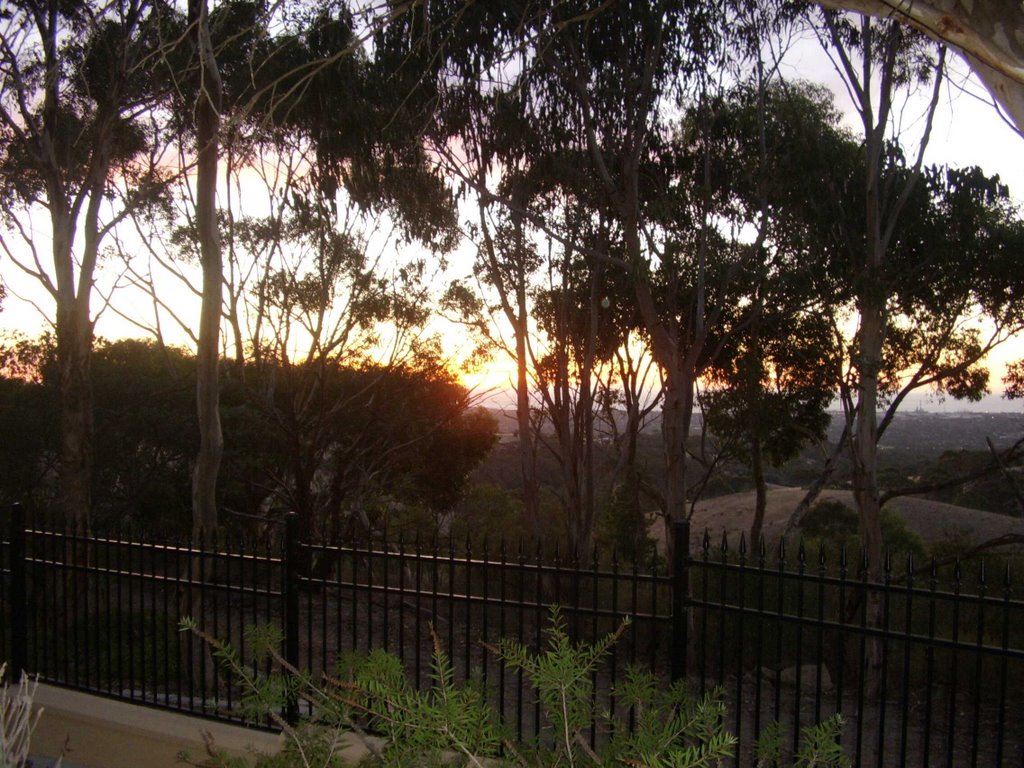
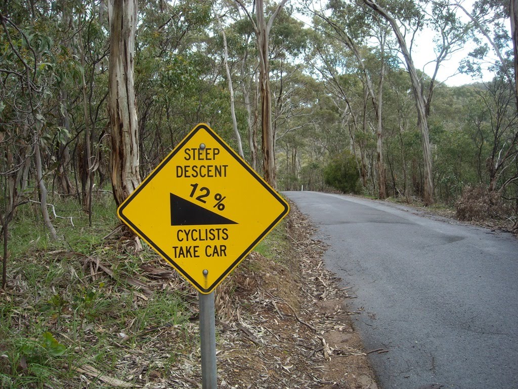
Photos of Cherry Gardens
Cherry Gardens Weather

Predicción: Clear sky
Temperatura: 11.8°
Humedad: 76%
Hora actual: 09:01 PM
Amanece: 06:40 AM
Anochece: 05:49 PM


