Distance between  Canterbury and
  Port Denison
1,672.93 mi Straight Distance
2,378.71 mi Driving Distance
1 day 16 hours Estimated Driving Time
The straight distance between Canterbury (Queensland) and Port Denison (Western Australia) is 1,672.93 mi, but the driving distance is 2,378.71 mi.
It takes to go from Canterbury to Port Denison.
Driving directions from Canterbury to Port Denison
Distance in kilometers
Straight distance: 2,691.74 km. Route distance: 3,827.35 km
Canterbury, Australia
Latitude: -25.3833 // Longitude: 141.883
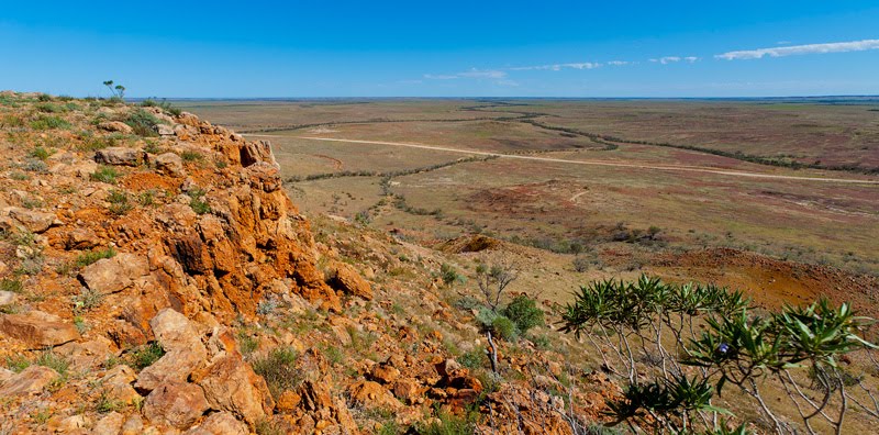
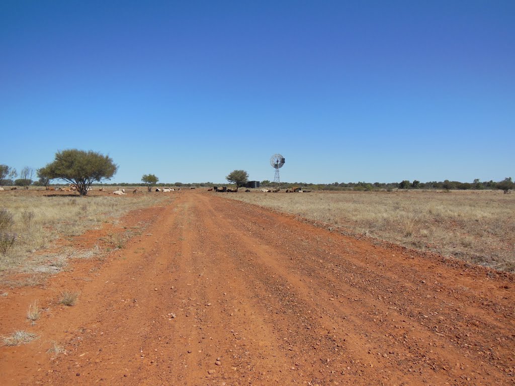
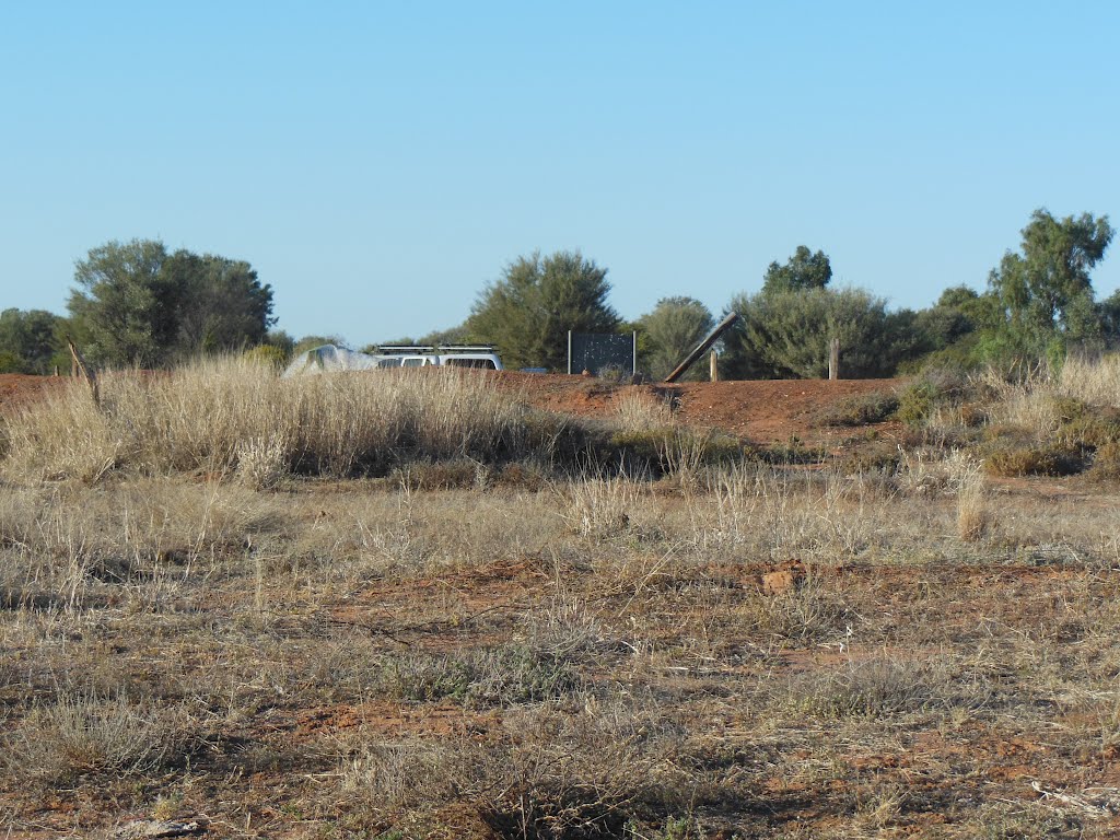
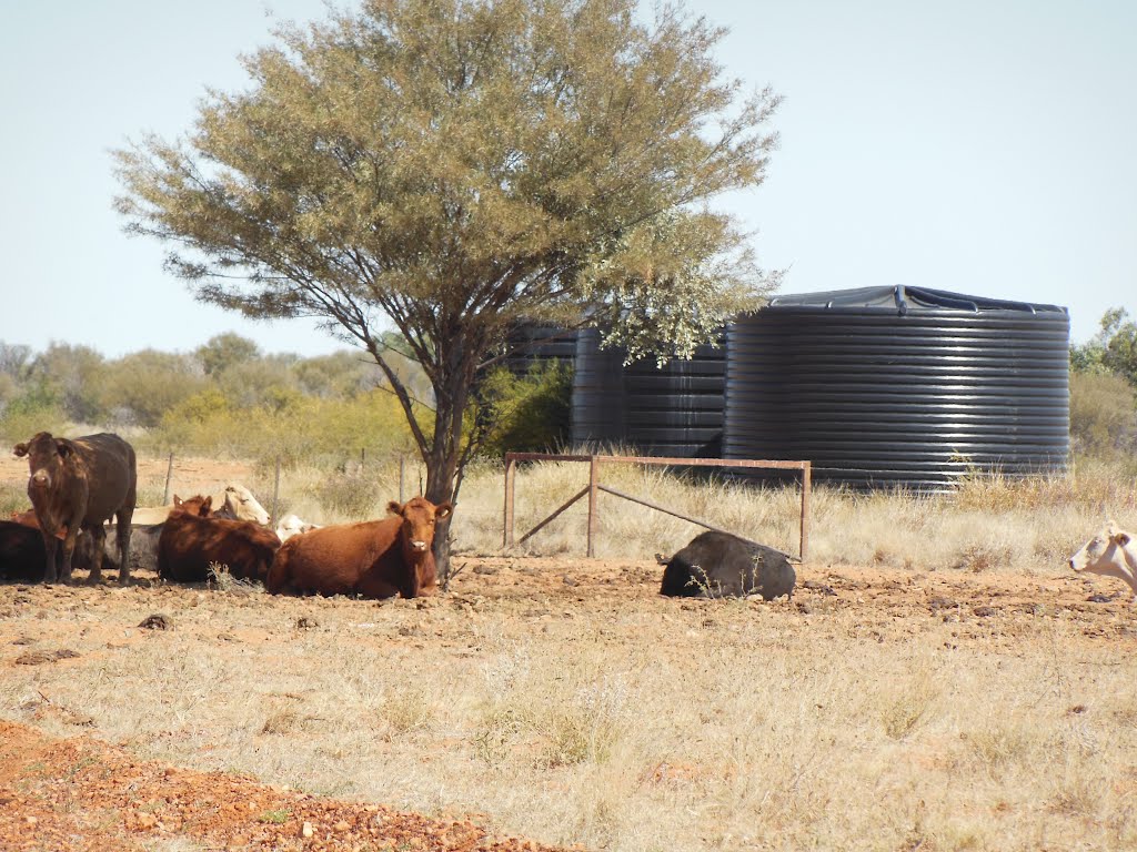
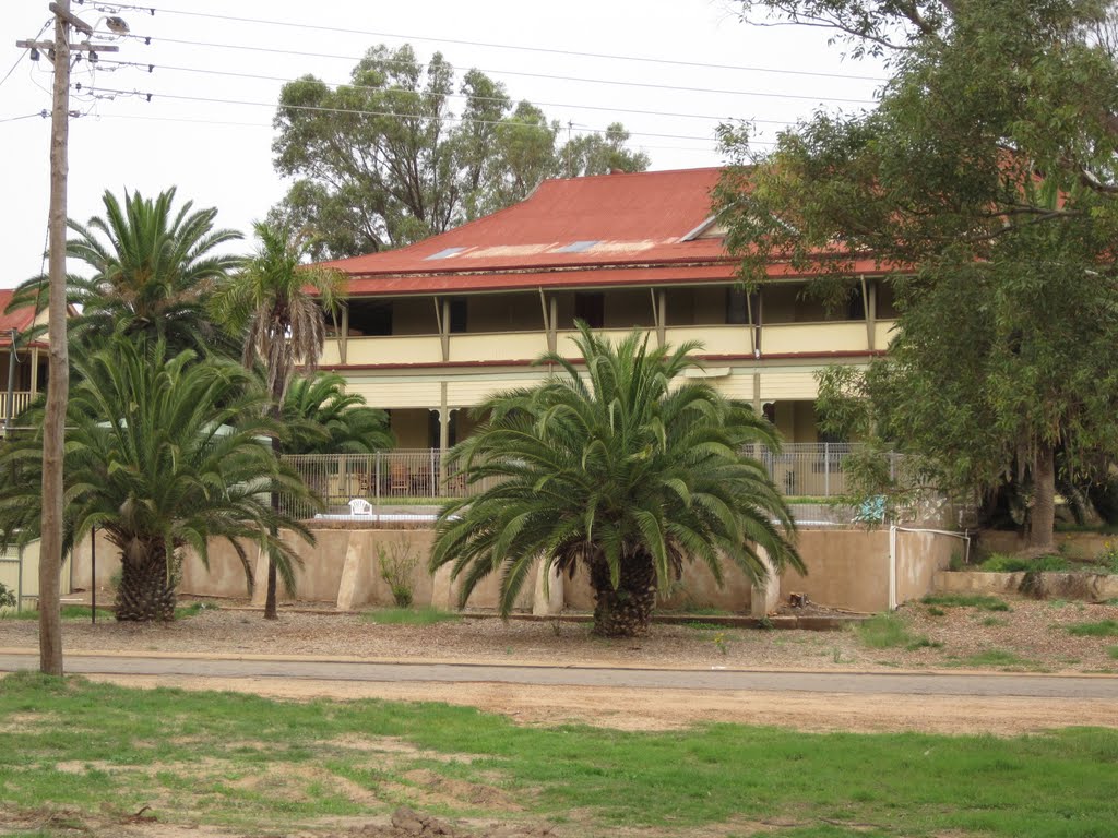
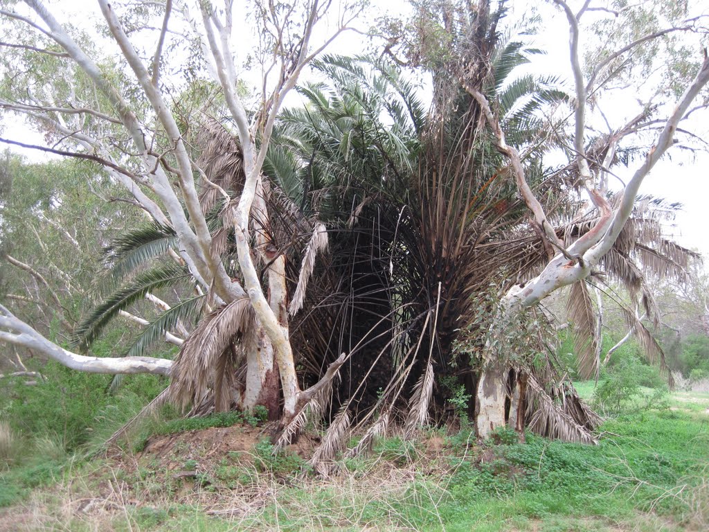
Photos of Canterbury
Canterbury Weather

Predicción: Clear sky
Temperatura: 26.1°
Humedad: 25%
Hora actual: 07:12 PM
Amanece: 06:49 AM
Anochece: 06:14 PM
Port Denison, Australia
Latitude: -29.2749 // Longitude: 114.92
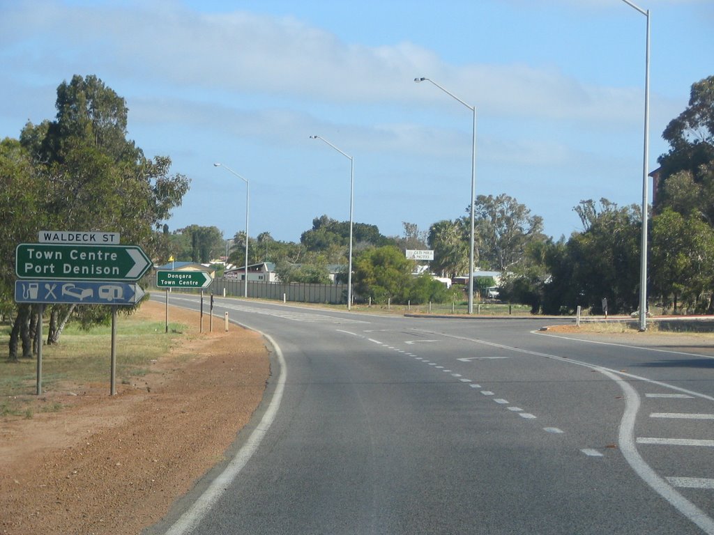
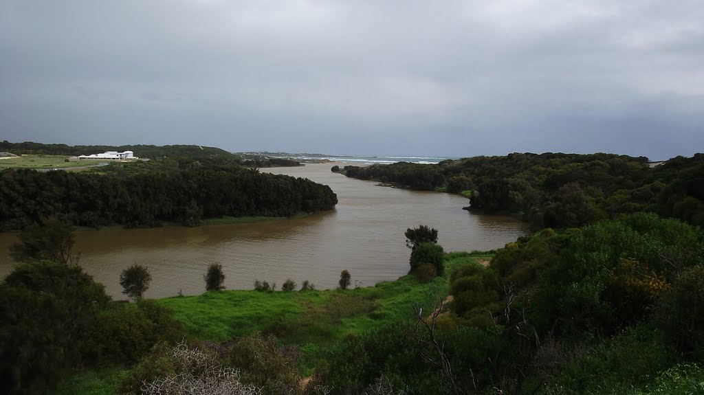
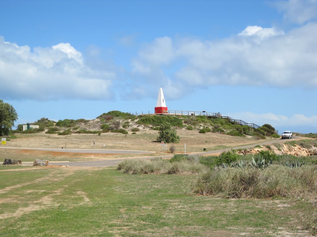
Photos of Port Denison
Port Denison Weather

Predicción: Clear sky
Temperatura: 30.6°
Humedad: 36%
Hora actual: 05:12 PM
Amanece: 06:40 AM
Anochece: 05:58 PM


