Distance between  Cann River and
  Driffield
161.27 mi Straight Distance
188.94 mi Driving Distance
3 hours 14 mins Estimated Driving Time
The straight distance between Cann River (Victoria) and Driffield (Victoria) is 161.27 mi, but the driving distance is 188.94 mi.
It takes to go from Cann River to Driffield.
Driving directions from Cann River to Driffield
Distance in kilometers
Straight distance: 259.49 km. Route distance: 304.00 km
Cann River, Australia
Latitude: -37.5652 // Longitude: 149.151
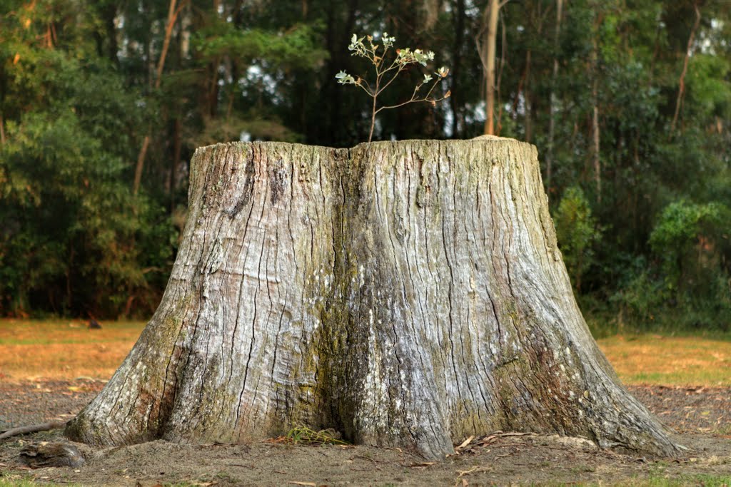
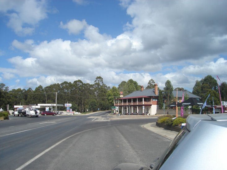
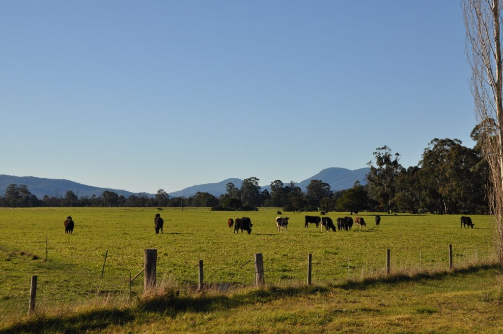
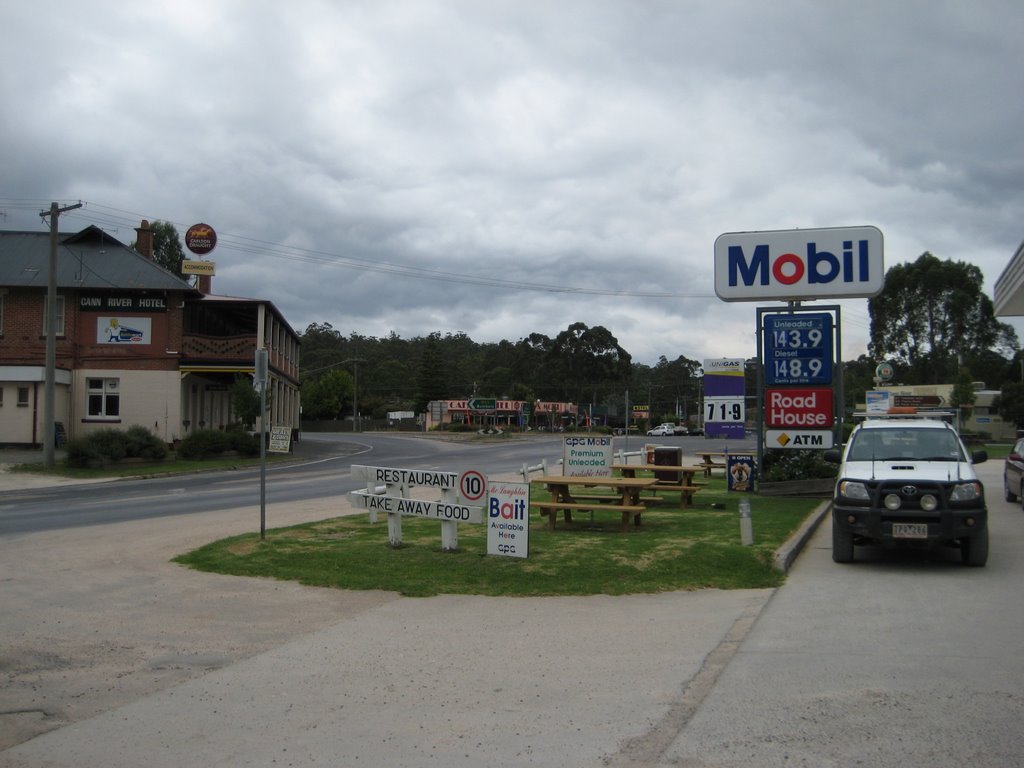
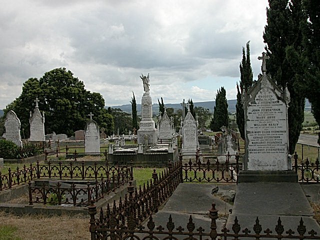
Photos of Cann River
Cann River Weather

Predicción: Overcast clouds
Temperatura: 16.4°
Humedad: 68%
Hora actual: 12:00 AM
Amanece: 08:31 PM
Anochece: 07:34 AM
Driffield, Australia
Latitude: -38.2694 // Longitude: 146.33
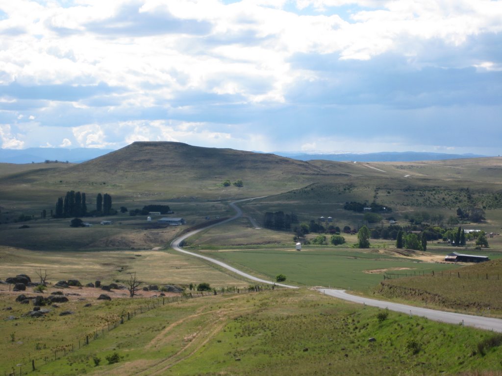
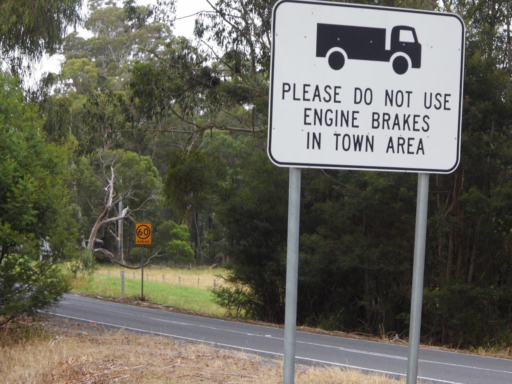
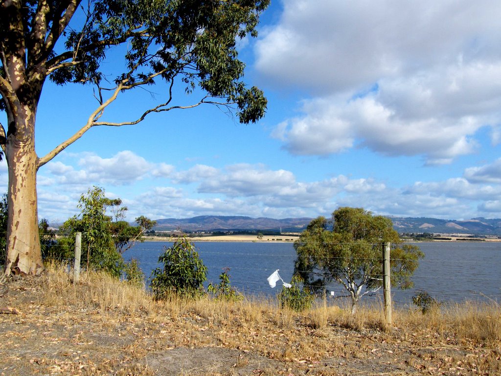
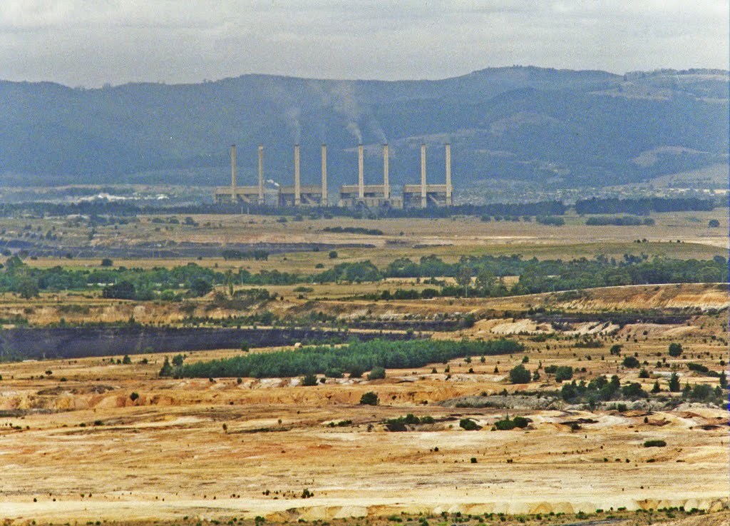
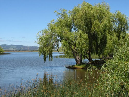
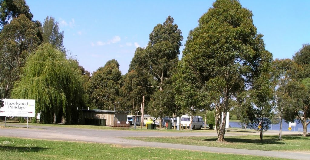
Photos of Driffield
Driffield Weather

Predicción: Overcast clouds
Temperatura: 12.6°
Humedad: 69%
Hora actual: 09:59 AM
Amanece: 06:43 AM
Anochece: 05:44 PM


