Distance between  Campbell Town and
  Boweya North
402.03 mi Straight Distance
535.28 mi Driving Distance
13 hours 20 mins Estimated Driving Time
The straight distance between Campbell Town (Tasmania) and Boweya North (Victoria) is 402.03 mi, but the driving distance is 535.28 mi.
It takes to go from Campbell Town to Boweya North.
Driving directions from Campbell Town to Boweya North
Distance in kilometers
Straight distance: 646.86 km. Route distance: 861.27 km
Campbell Town, Australia
Latitude: -41.929 // Longitude: 147.494
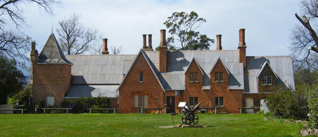
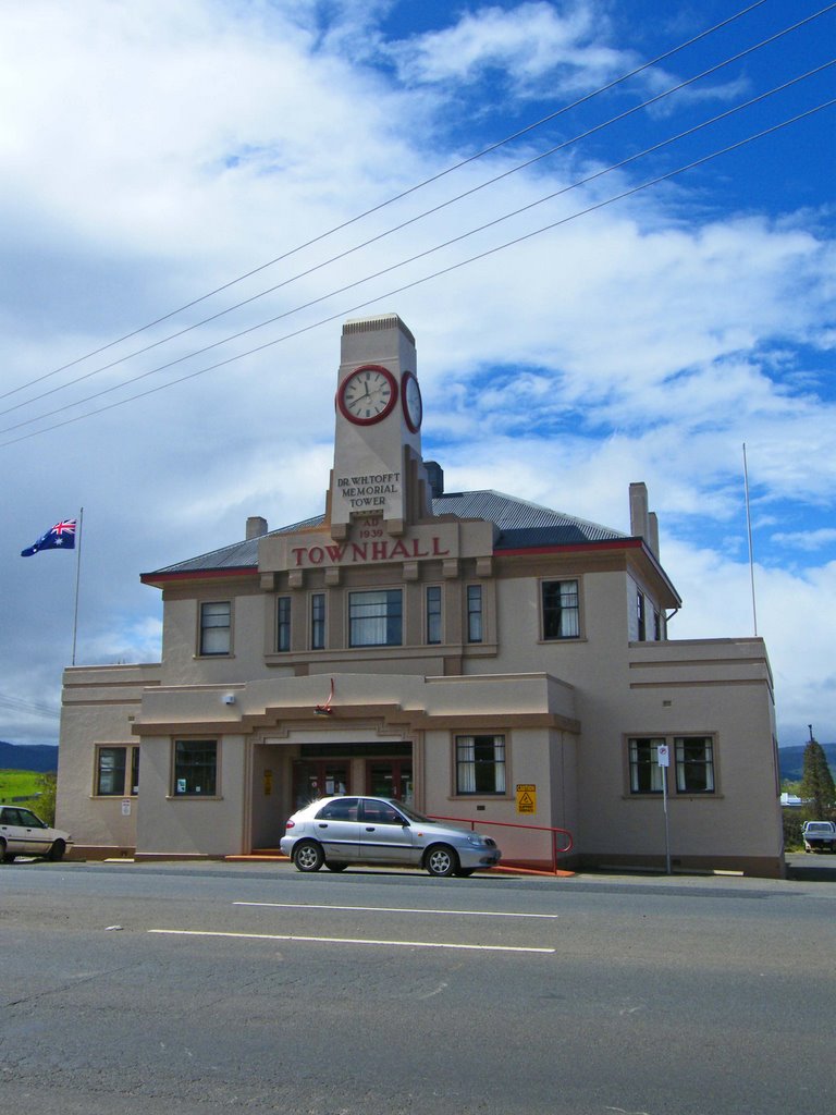
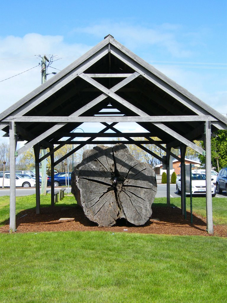
Photos of Campbell Town
Campbell Town Weather

Predicción: Overcast clouds
Temperatura: 13.5°
Humedad: 71%
Hora actual: 12:21 PM
Amanece: 06:44 AM
Anochece: 05:33 PM
Boweya North, Australia
Latitude: -36.2124 // Longitude: 146.095
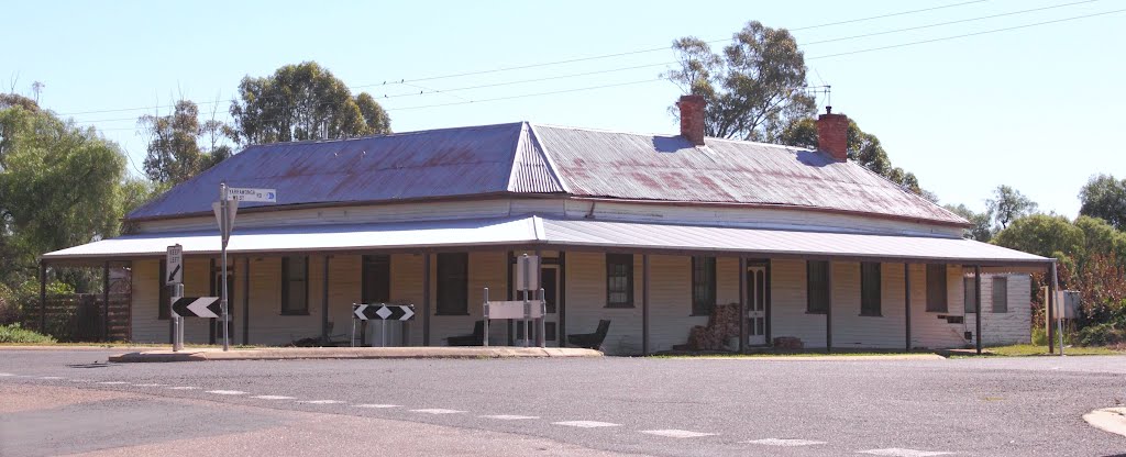
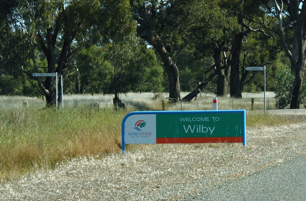
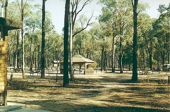
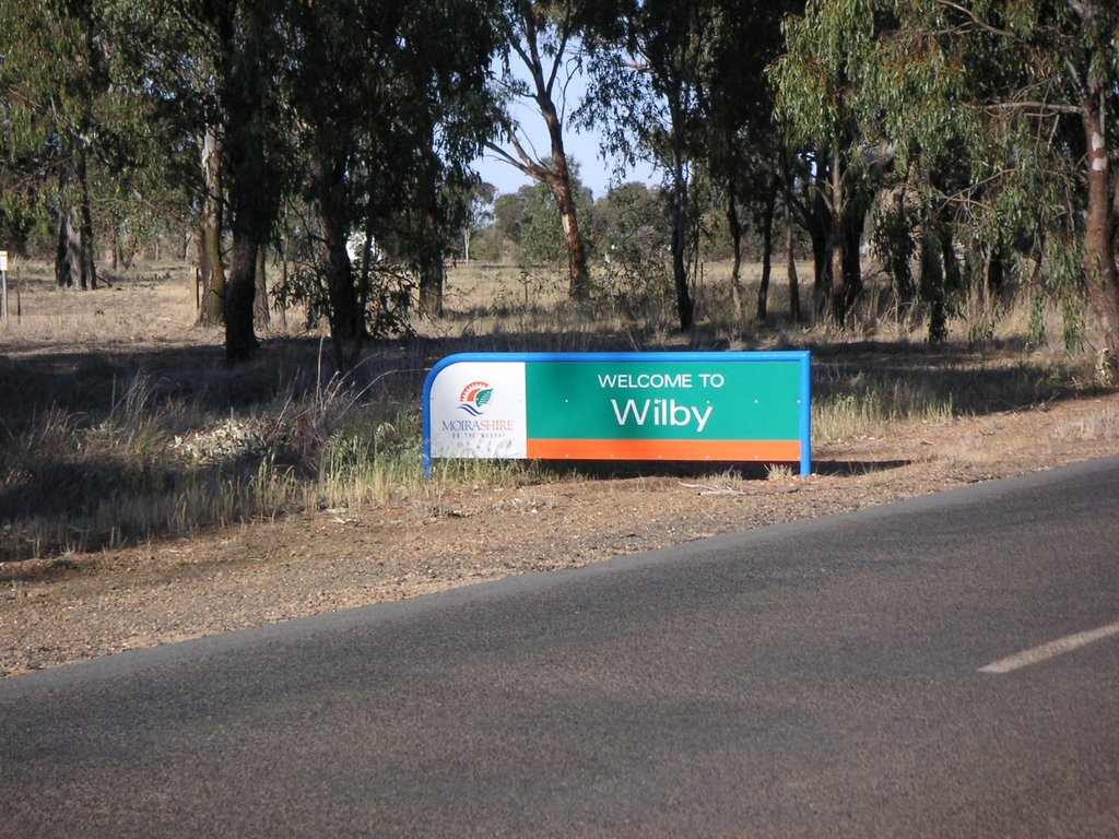
Photos of Boweya North
Boweya North Weather

Predicción: Clear sky
Temperatura: 18.8°
Humedad: 39%
Hora actual: 11:00 AM
Amanece: 06:43 AM
Anochece: 05:46 PM


