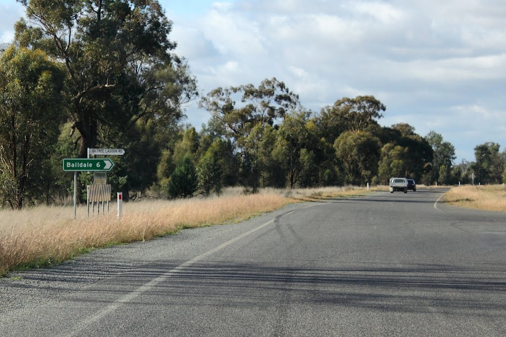
Distance between  Camira Creek and
  Balldale
589.78 mi Straight Distance
772.65 mi Driving Distance
12 hours 34 mins Estimated Driving Time
The straight distance between Camira Creek (New South Wales) and Balldale (New South Wales) is 589.78 mi, but the driving distance is 772.65 mi.
It takes to go from Camira Creek to Balldale.
Driving directions from Camira Creek to Balldale
Distance in kilometers
Straight distance: 948.96 km. Route distance: 1,243.20 km
Camira Creek, Australia
Latitude: -29.2545 // Longitude: 152.965
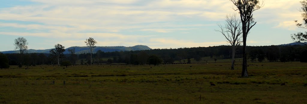
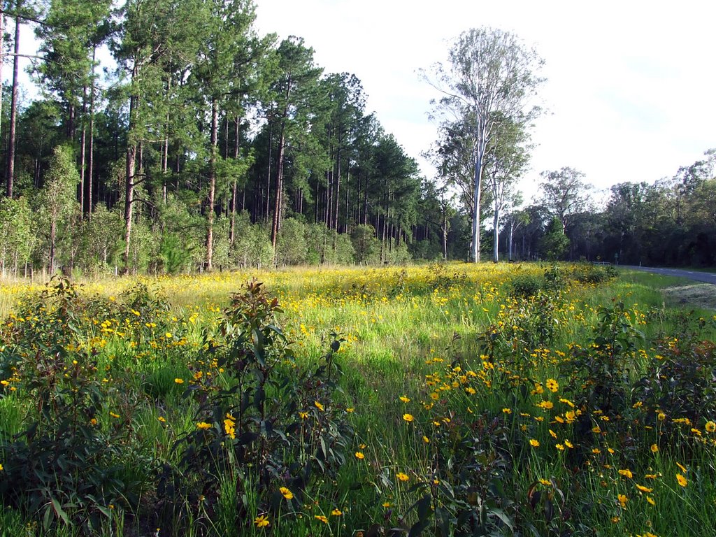
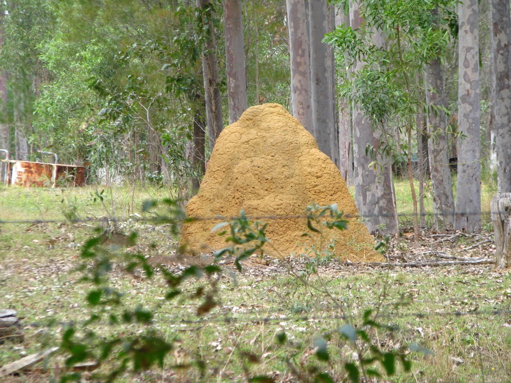
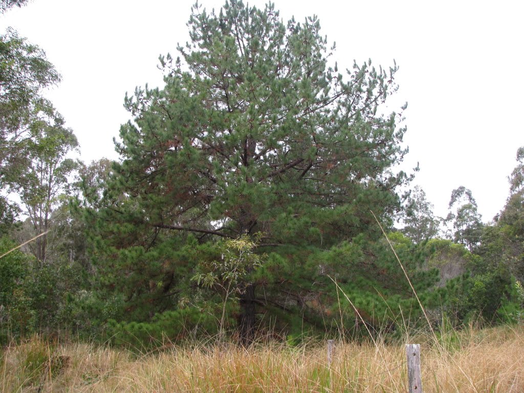
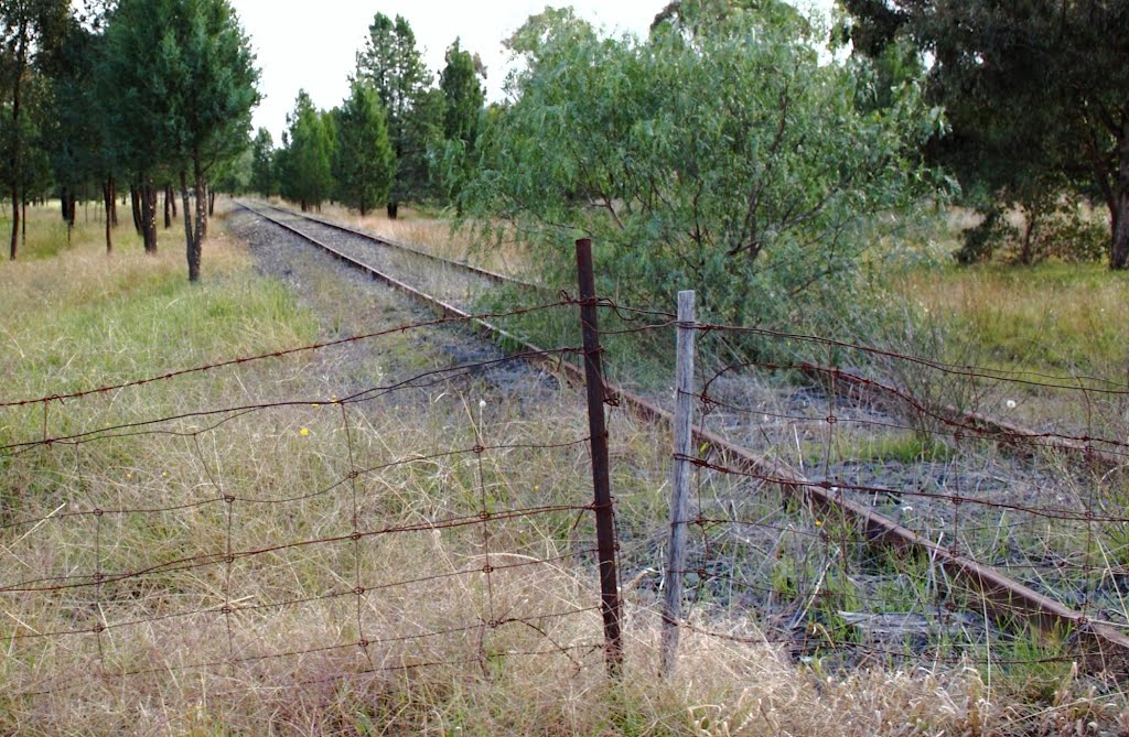
Photos of Camira Creek
Camira Creek Weather

Predicción: Clear sky
Temperatura: 20.4°
Humedad: 51%
Hora actual: 12:00 AM
Amanece: 08:07 PM
Anochece: 07:28 AM
Balldale, Australia
Latitude: -35.8447 // Longitude: 146.52
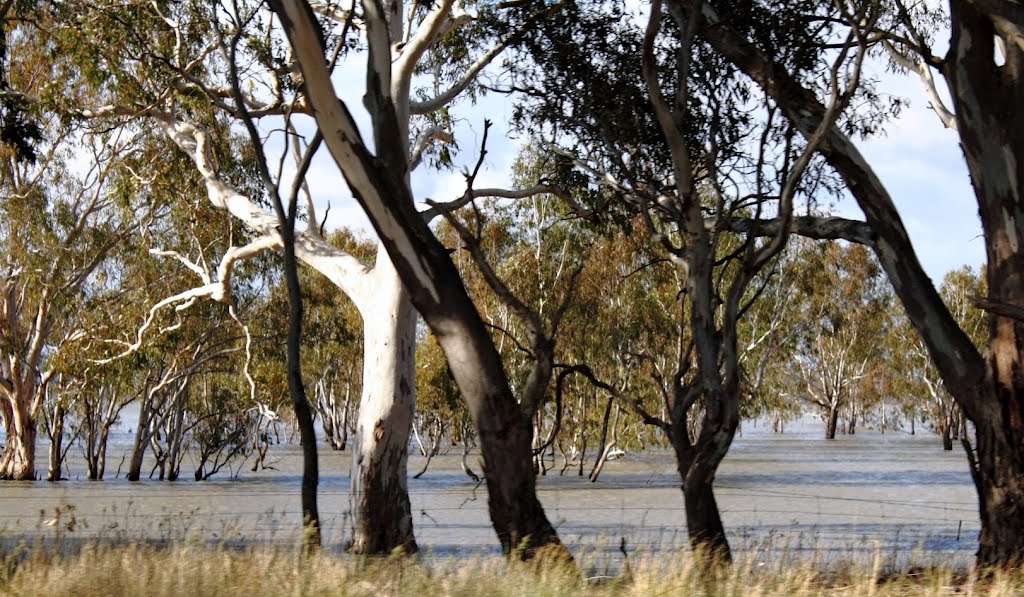
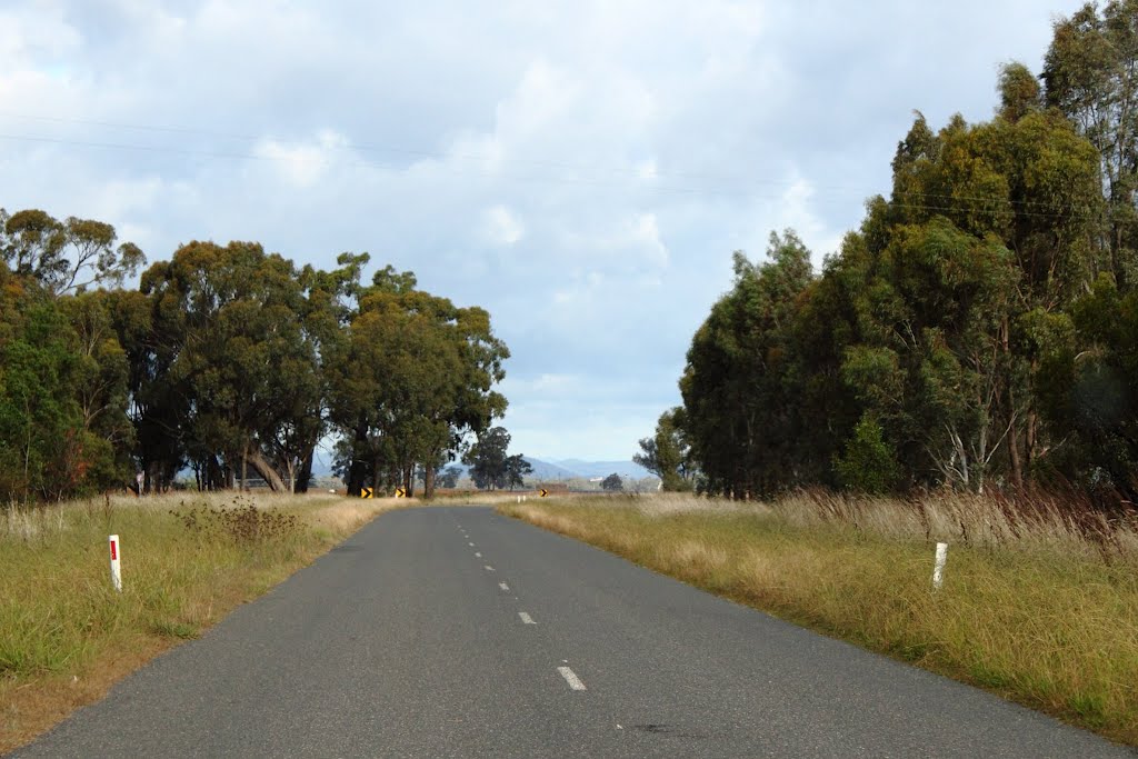
Photos of Balldale
Balldale Weather

Predicción: Scattered clouds
Temperatura: 21.8°
Humedad: 35%
Hora actual: 12:00 AM
Amanece: 08:39 PM
Anochece: 07:47 AM


