Distance between  Camena and
  Kialla
329.87 mi Straight Distance
418.70 mi Driving Distance
11 hours 30 mins Estimated Driving Time
The straight distance between Camena (Tasmania) and Kialla (Victoria) is 329.87 mi, but the driving distance is 418.70 mi.
It takes to go from Camena to Kialla.
Driving directions from Camena to Kialla
Distance in kilometers
Straight distance: 530.76 km. Route distance: 673.69 km
Camena, Australia
Latitude: -41.1681 // Longitude: 145.964
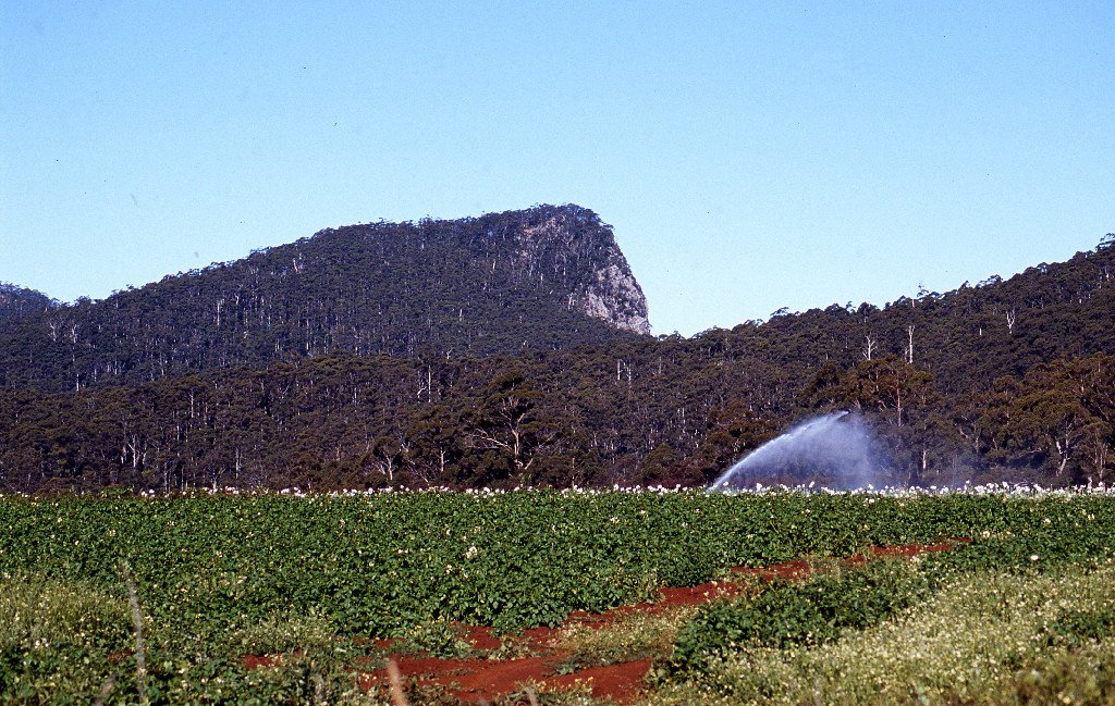
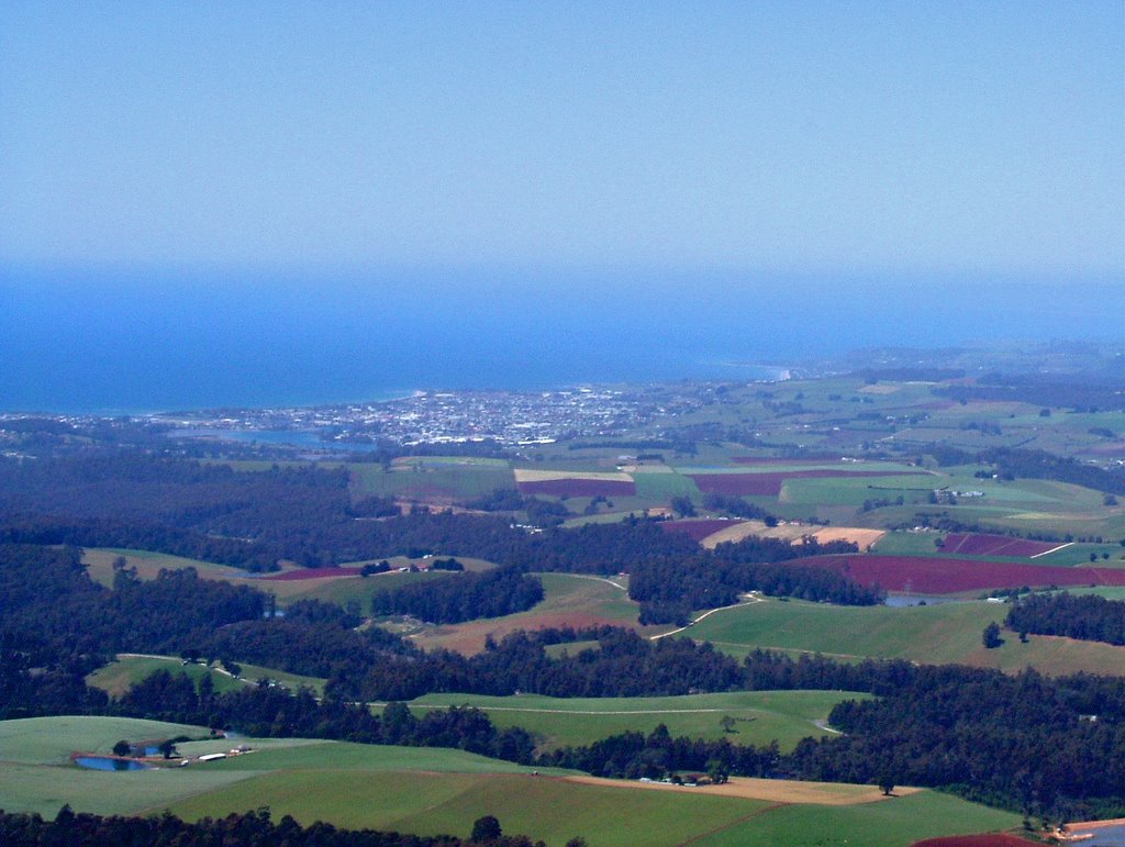
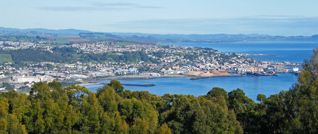
Photos of Camena
Camena Weather

Predicción: Few clouds
Temperatura: 11.5°
Humedad: 81%
Hora actual: 12:00 AM
Amanece: 08:50 PM
Anochece: 07:40 AM
Kialla, Australia
Latitude: -36.4142 // Longitude: 145.398
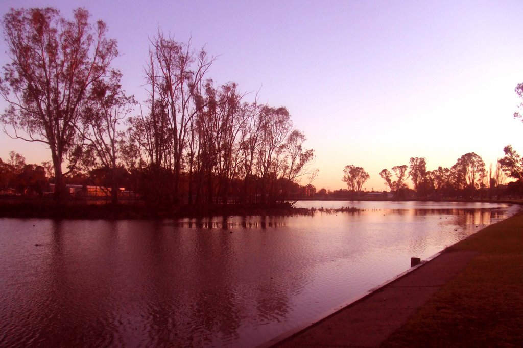
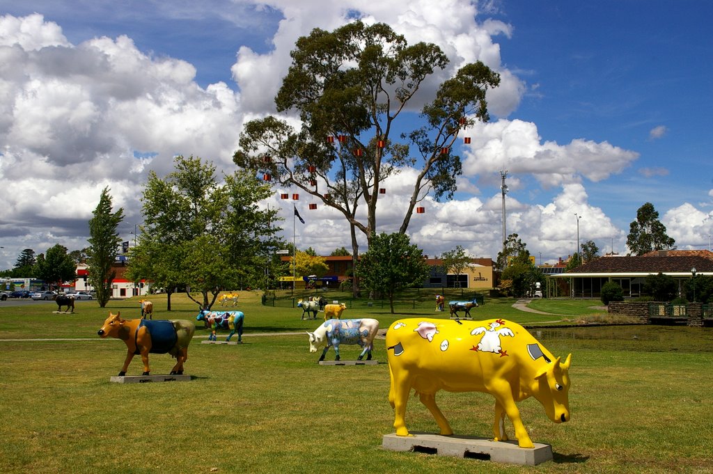
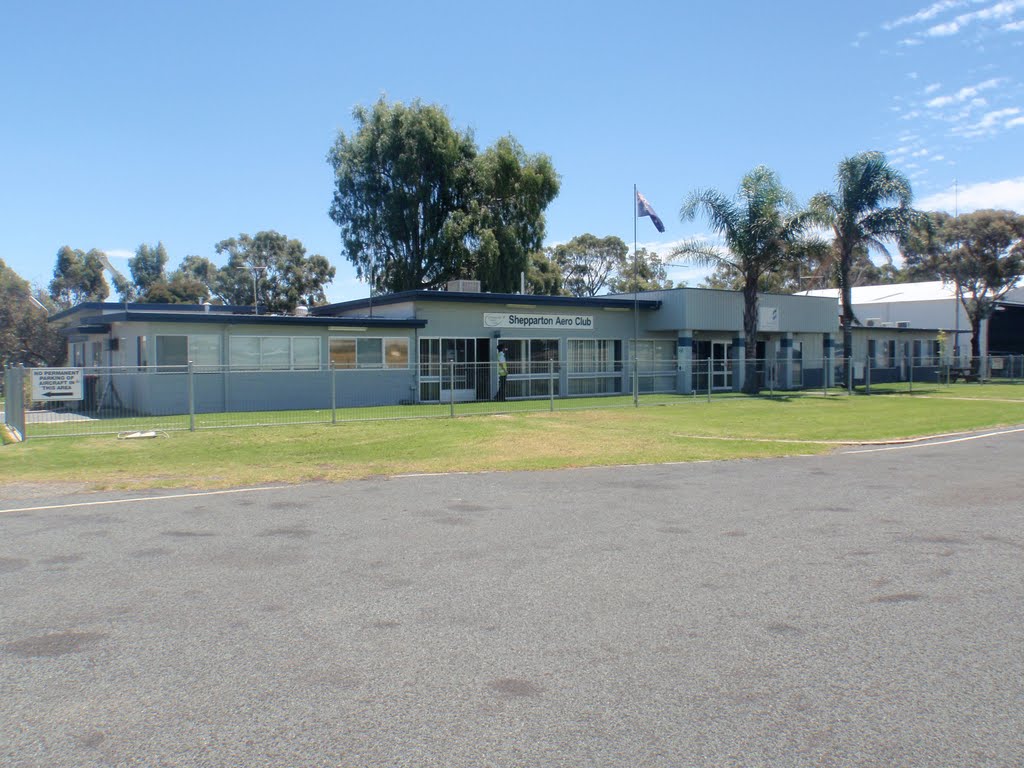
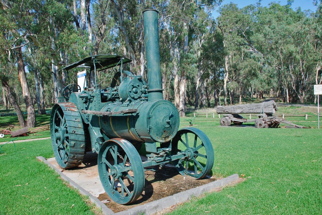
Photos of Kialla
Kialla Weather

Predicción: Light rain
Temperatura: 14.7°
Humedad: 59%
Hora actual: 09:43 PM
Amanece: 06:46 AM
Anochece: 05:49 PM


