Distance between  Camdale and
  Yarrawonga
347.05 mi Straight Distance
483.94 mi Driving Distance
12 hours 27 mins Estimated Driving Time
The straight distance between Camdale (Tasmania) and Yarrawonga (Victoria) is 347.05 mi, but the driving distance is 483.94 mi.
It takes to go from Camdale to Yarrawonga.
Driving directions from Camdale to Yarrawonga
Distance in kilometers
Straight distance: 558.41 km. Route distance: 778.66 km
Camdale, Australia
Latitude: -41.0397 // Longitude: 145.847
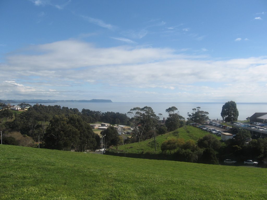
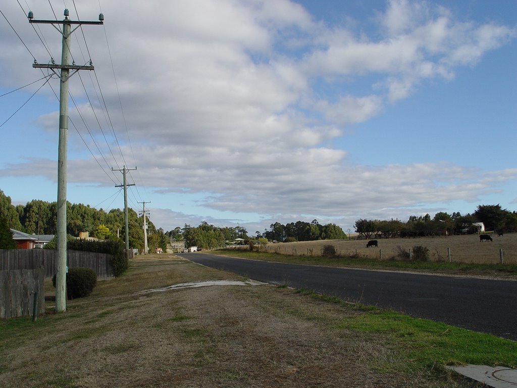
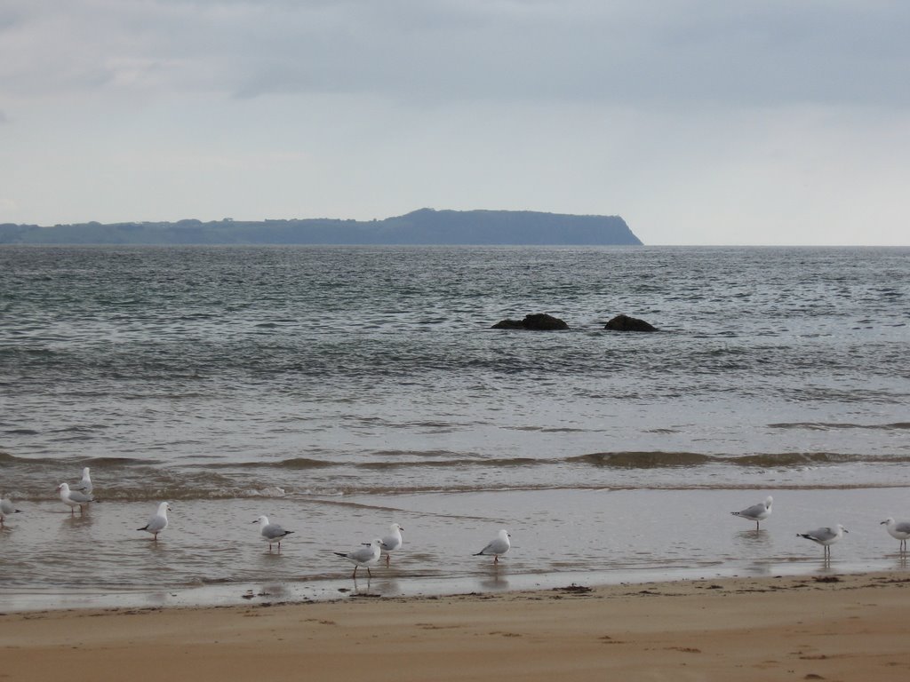
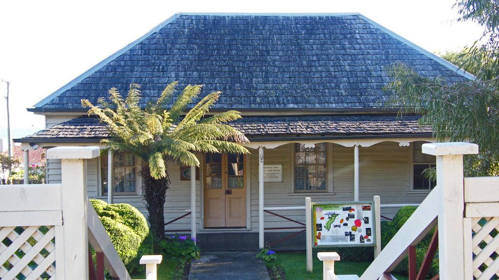
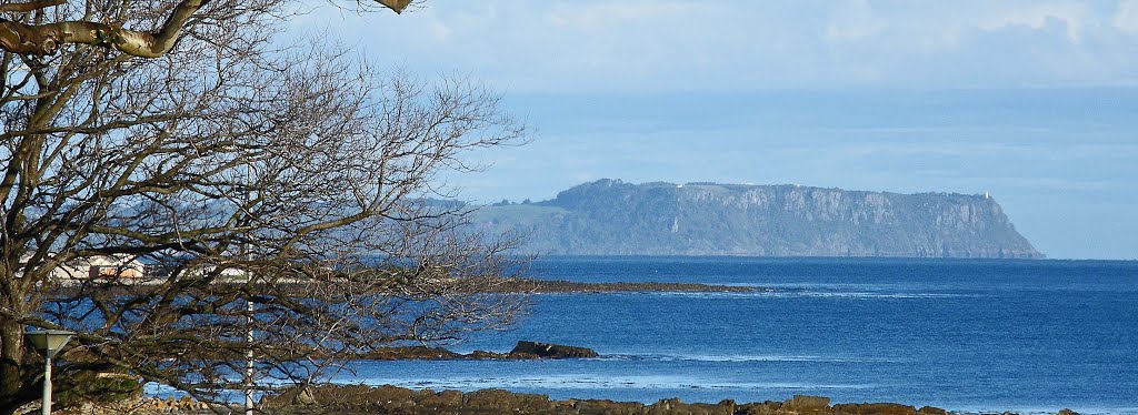
Photos of Camdale
Camdale Weather

Predicción: Clear sky
Temperatura: 12.5°
Humedad: 47%
Hora actual: 09:37 AM
Amanece: 06:51 AM
Anochece: 05:40 PM
Yarrawonga, Australia
Latitude: -36.0182 // Longitude: 146.003
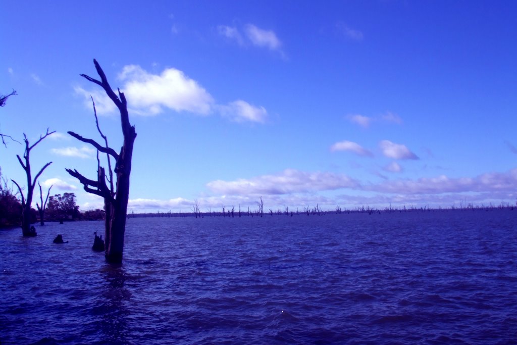
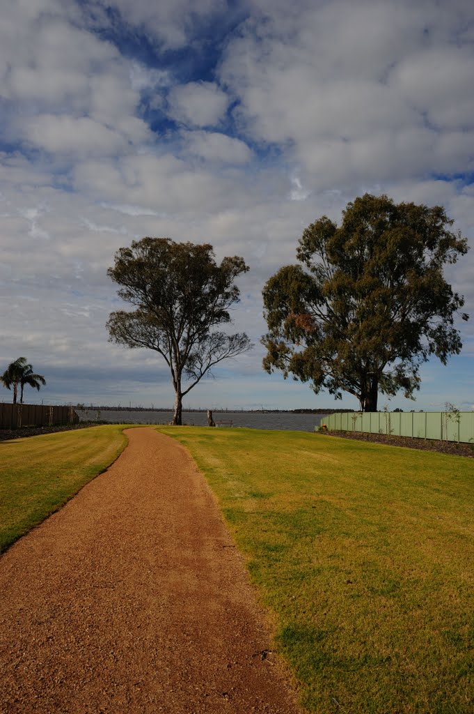
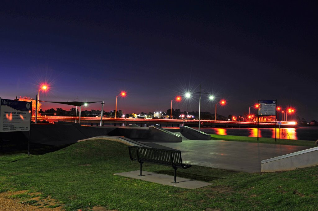
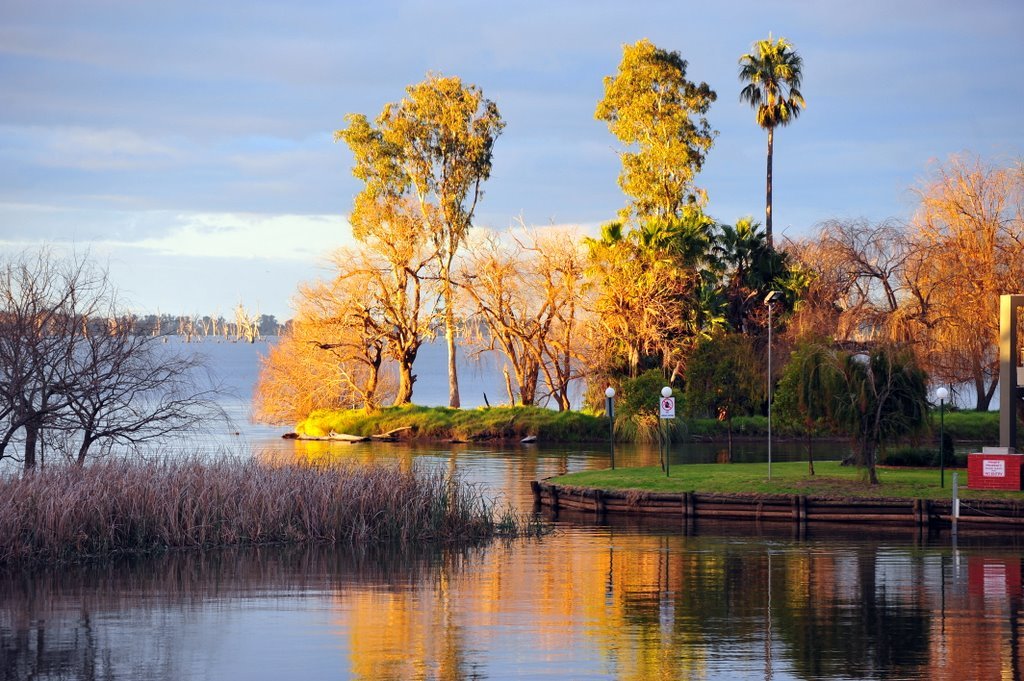
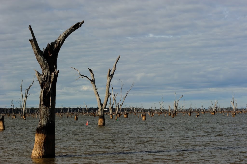
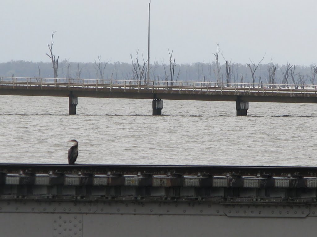
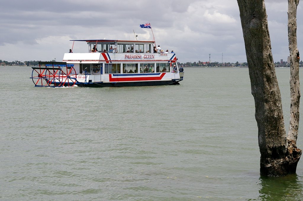
Photos of Yarrawonga
Yarrawonga Weather

Predicción: Scattered clouds
Temperatura: 14.2°
Humedad: 59%
Hora actual: 09:37 AM
Amanece: 06:44 AM
Anochece: 05:45 PM


