Distance between  Cambrian Hill and
  Moonambel
52.33 mi Straight Distance
60.38 mi Driving Distance
1 hour 10 mins Estimated Driving Time
The straight distance between Cambrian Hill (Victoria) and Moonambel (Victoria) is 52.33 mi, but the driving distance is 60.38 mi.
It takes to go from Cambrian Hill to Moonambel.
Driving directions from Cambrian Hill to Moonambel
Distance in kilometers
Straight distance: 84.20 km. Route distance: 97.15 km
Cambrian Hill, Australia
Latitude: -37.6335 // Longitude: 143.828
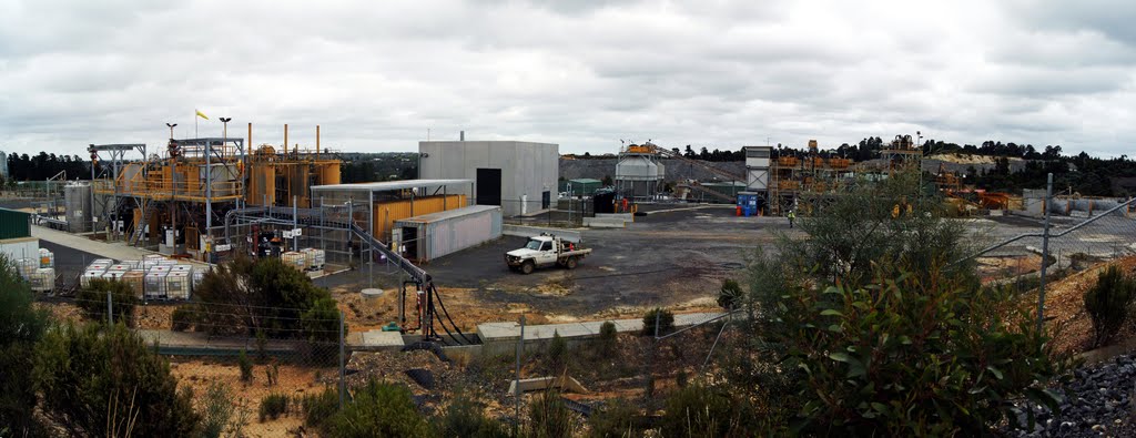
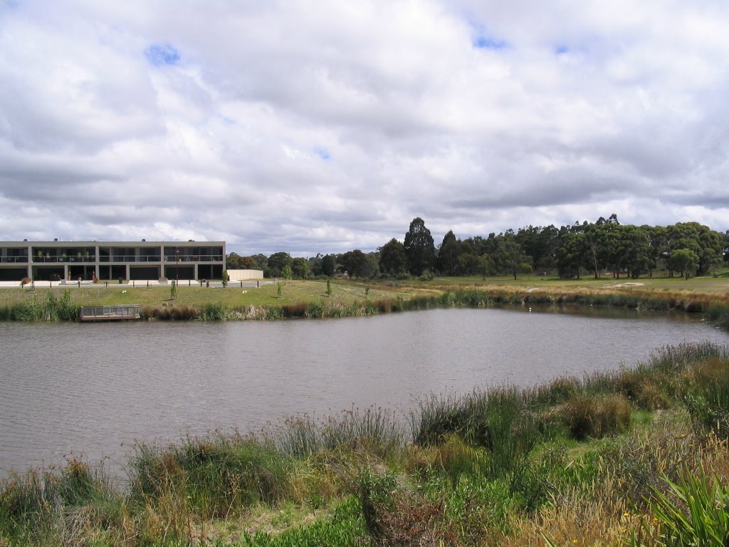
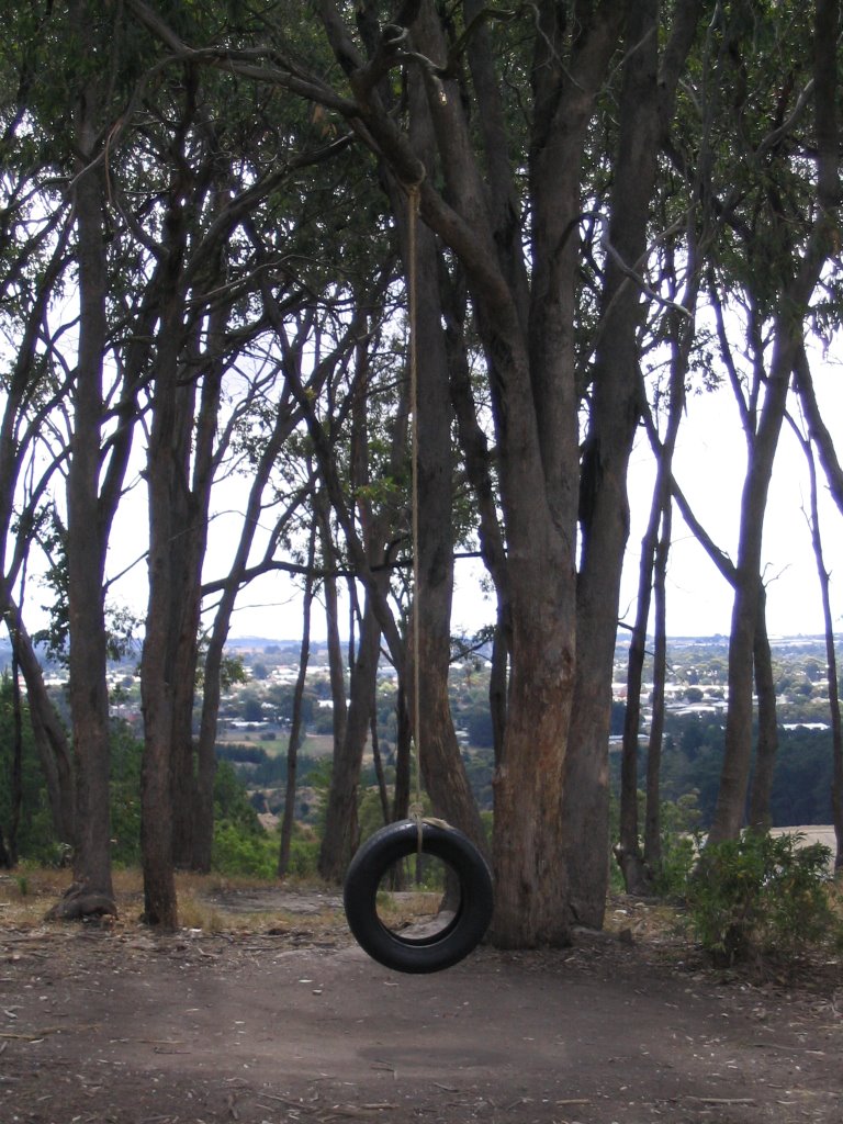
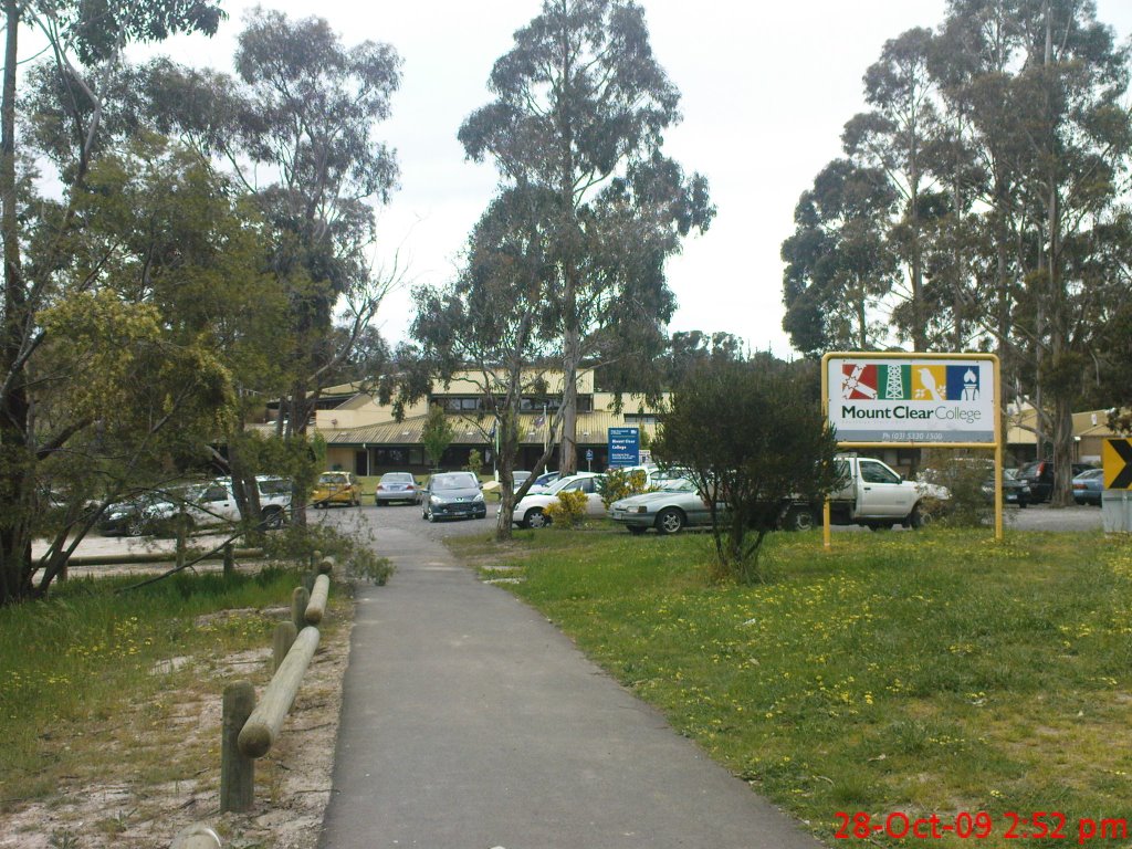
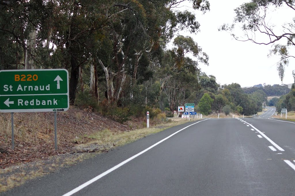
Photos of Cambrian Hill
Cambrian Hill Weather

Predicción: Broken clouds
Temperatura: 9.6°
Humedad: 95%
Hora actual: 02:03 AM
Amanece: 06:54 AM
Anochece: 05:52 PM
Moonambel, Australia
Latitude: -36.9899 // Longitude: 143.326
Photos of Moonambel
Moonambel Weather

Predicción: Overcast clouds
Temperatura: 9.6°
Humedad: 88%
Hora actual: 10:00 AM
Amanece: 06:56 AM
Anochece: 05:55 PM


