Distance between  Cadell and
  Bordertown
166.95 mi Straight Distance
211.98 mi Driving Distance
3 hours 39 mins Estimated Driving Time
The straight distance between Cadell (South Australia) and Bordertown (South Australia) is 166.95 mi, but the driving distance is 211.98 mi.
It takes 4 hours 3 mins to go from Cadell to Bordertown.
Driving directions from Cadell to Bordertown
Distance in kilometers
Straight distance: 268.62 km. Route distance: 341.07 km
Cadell, Australia
Latitude: -34.0394 // Longitude: 139.766
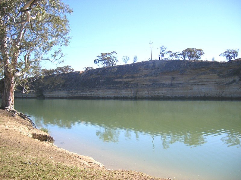
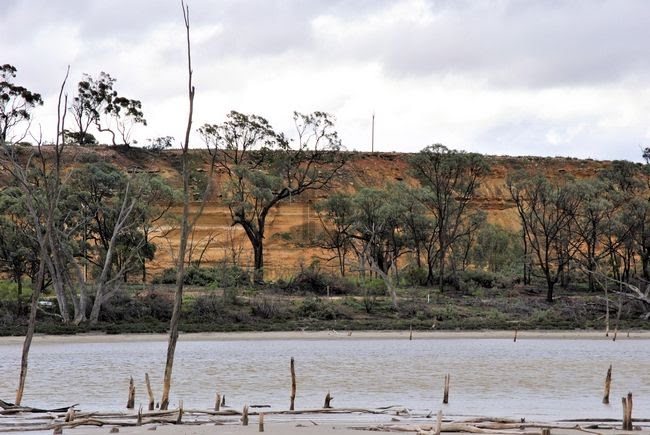
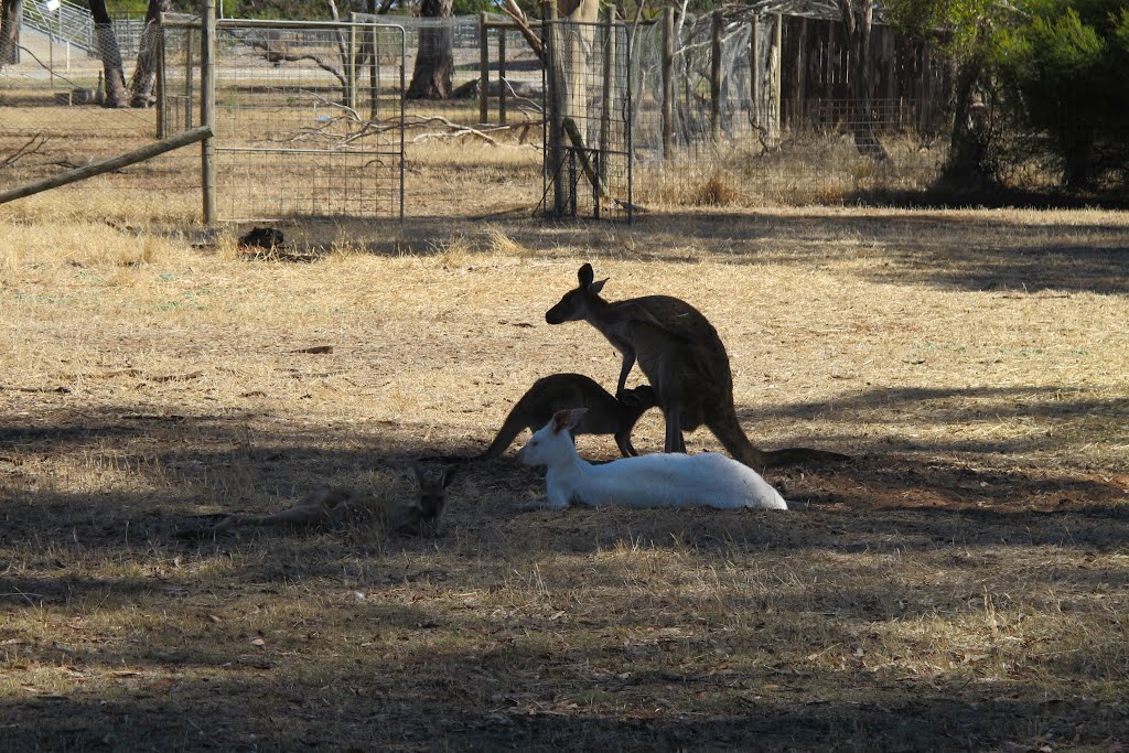
Photos of Cadell
Cadell Weather

Predicción: Broken clouds
Temperatura: 14.5°
Humedad: 81%
Hora actual: 08:29 AM
Amanece: 06:36 AM
Anochece: 05:43 PM
Bordertown, Australia
Latitude: -36.3112 // Longitude: 140.773
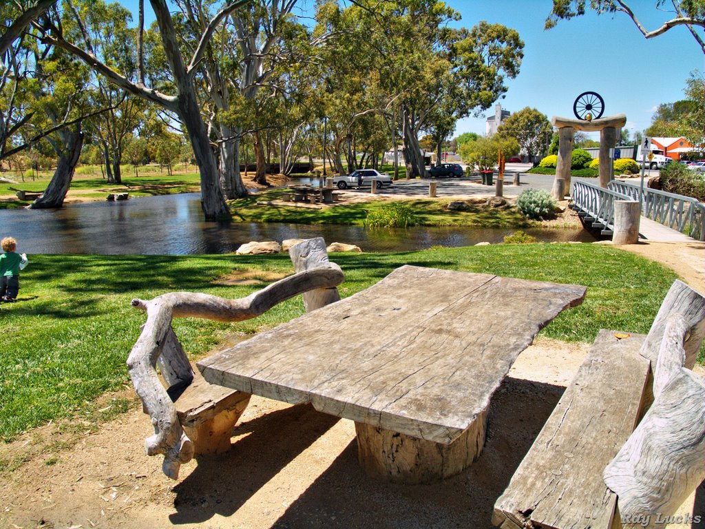
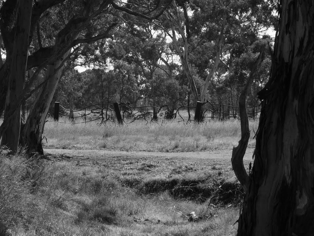
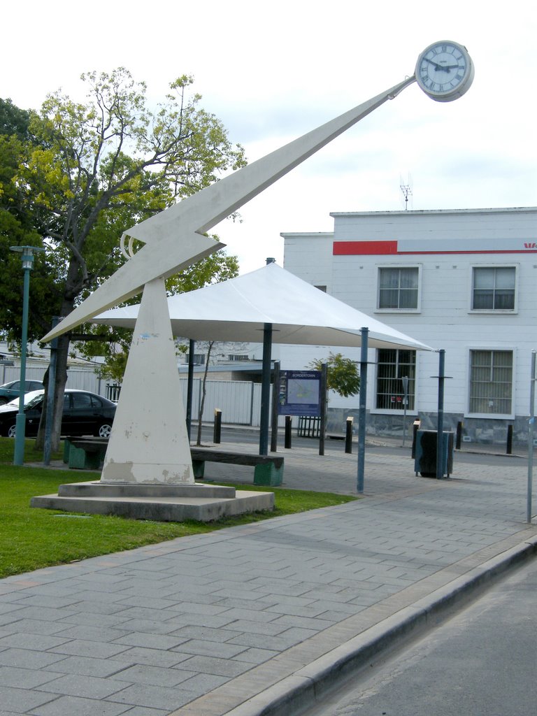
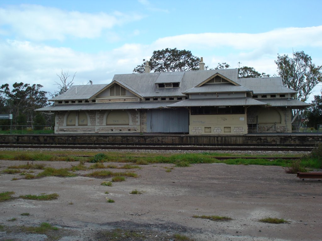
Photos of Bordertown
Bordertown Weather

Predicción: Overcast clouds
Temperatura: 12.2°
Humedad: 90%
Hora actual: 08:30 AM
Amanece: 06:35 AM
Anochece: 05:36 PM


