Distance between  Cabramurra and
  Bourke
427.99 mi Straight Distance
546.44 mi Driving Distance
10 hours 22 mins Estimated Driving Time
The straight distance between Cabramurra (New South Wales) and Bourke (New South Wales) is 427.99 mi, but the driving distance is 546.44 mi.
It takes to go from Cabramurra to Bourke.
Driving directions from Cabramurra to Bourke
Distance in kilometers
Straight distance: 688.64 km. Route distance: 879.23 km
Cabramurra, Australia
Latitude: -35.9367 // Longitude: 148.381
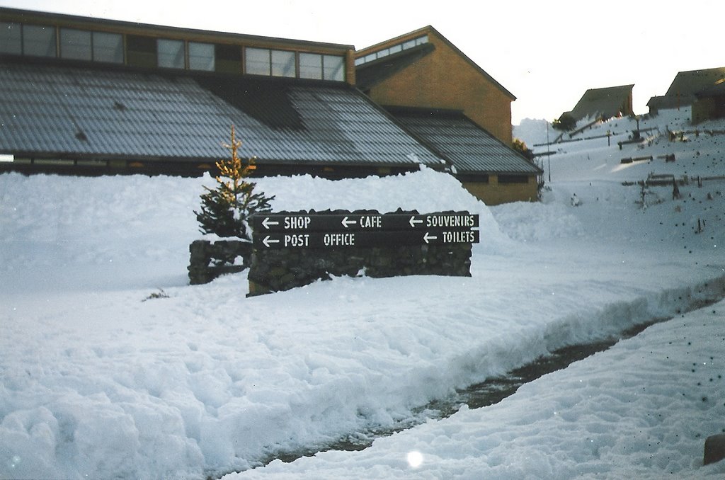
Photos of Cabramurra
Cabramurra Weather

Predicción: Overcast clouds
Temperatura: 3.2°
Humedad: 83%
Hora actual: 12:00 AM
Amanece: 08:34 PM
Anochece: 07:37 AM
Bourke, Australia
Latitude: -30.0901 // Longitude: 145.938
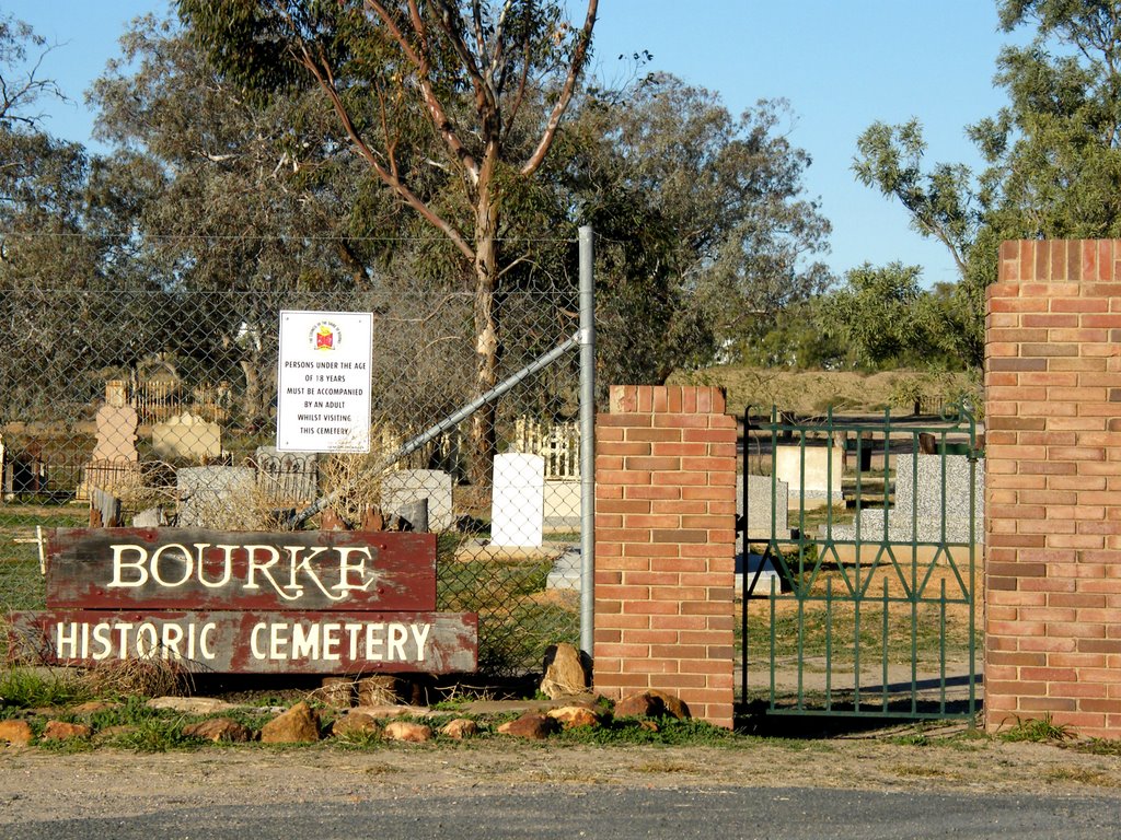
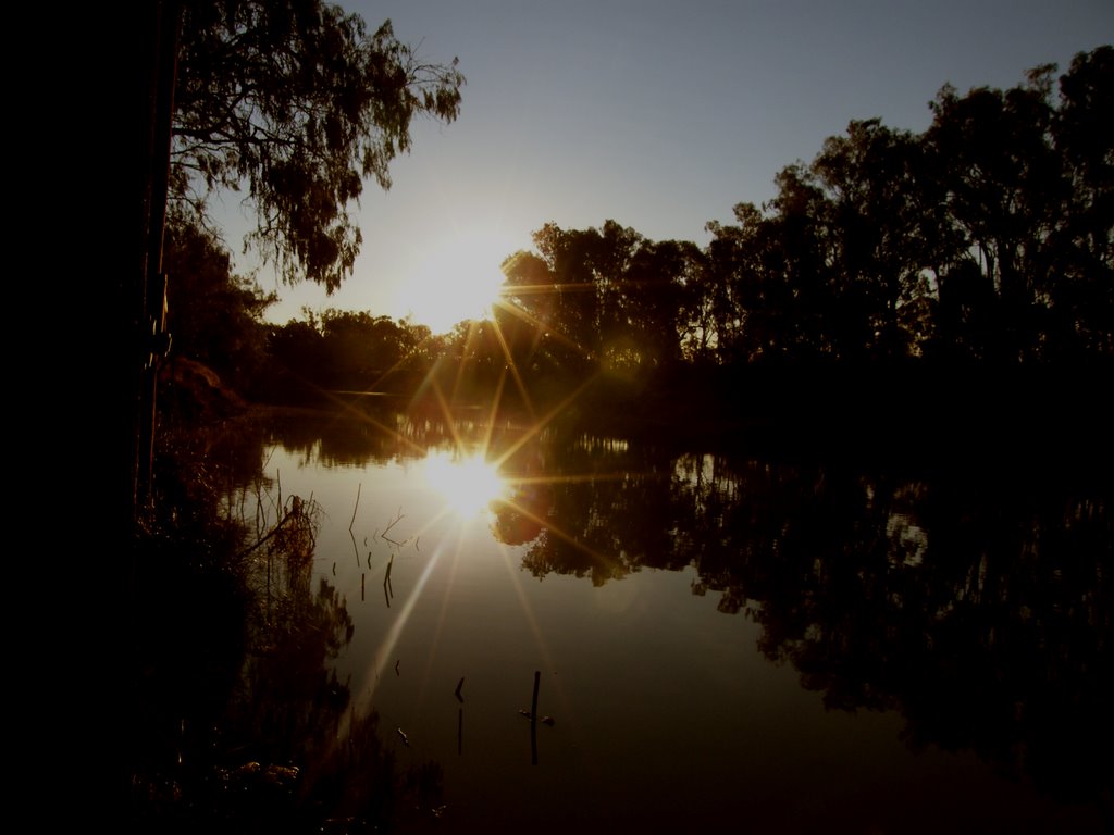
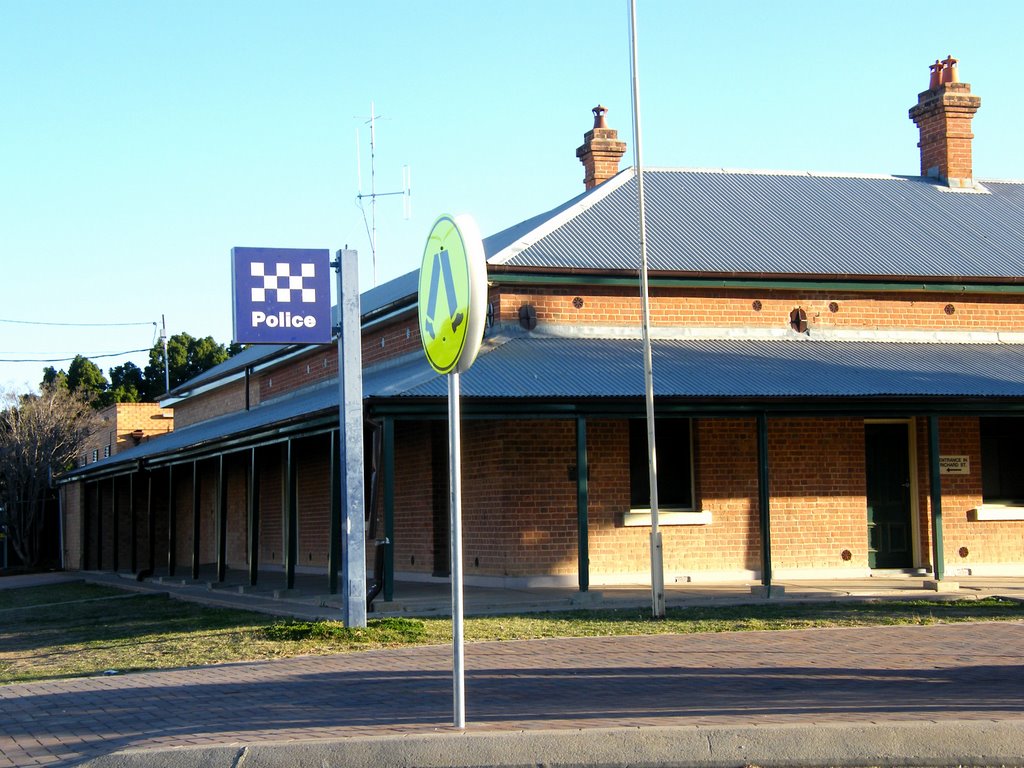
Photos of Bourke
Bourke Weather

Predicción: Clear sky
Temperatura: 12.2°
Humedad: 57%
Hora actual: 06:20 AM
Amanece: 06:37 AM
Anochece: 05:52 PM


