Distance between  Byron Bay and
  Meandarra
245.29 mi Straight Distance
317.80 mi Driving Distance
5 hours 25 mins Estimated Driving Time
The straight distance between Byron Bay (New South Wales) and Meandarra (Queensland) is 245.29 mi, but the driving distance is 317.80 mi.
It takes to go from Byron Bay to Meandarra.
Driving directions from Byron Bay to Meandarra
Distance in kilometers
Straight distance: 394.68 km. Route distance: 511.34 km
Byron Bay, Australia
Latitude: -28.6442 // Longitude: 153.612
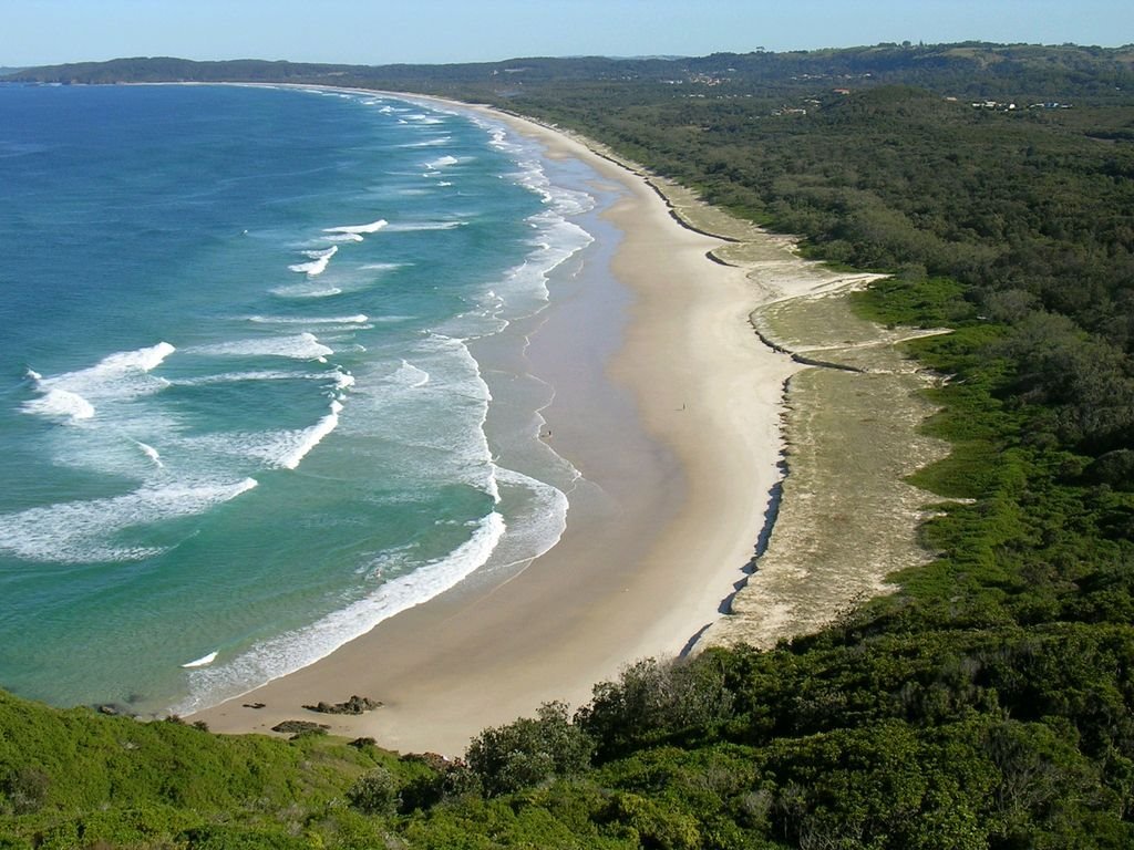
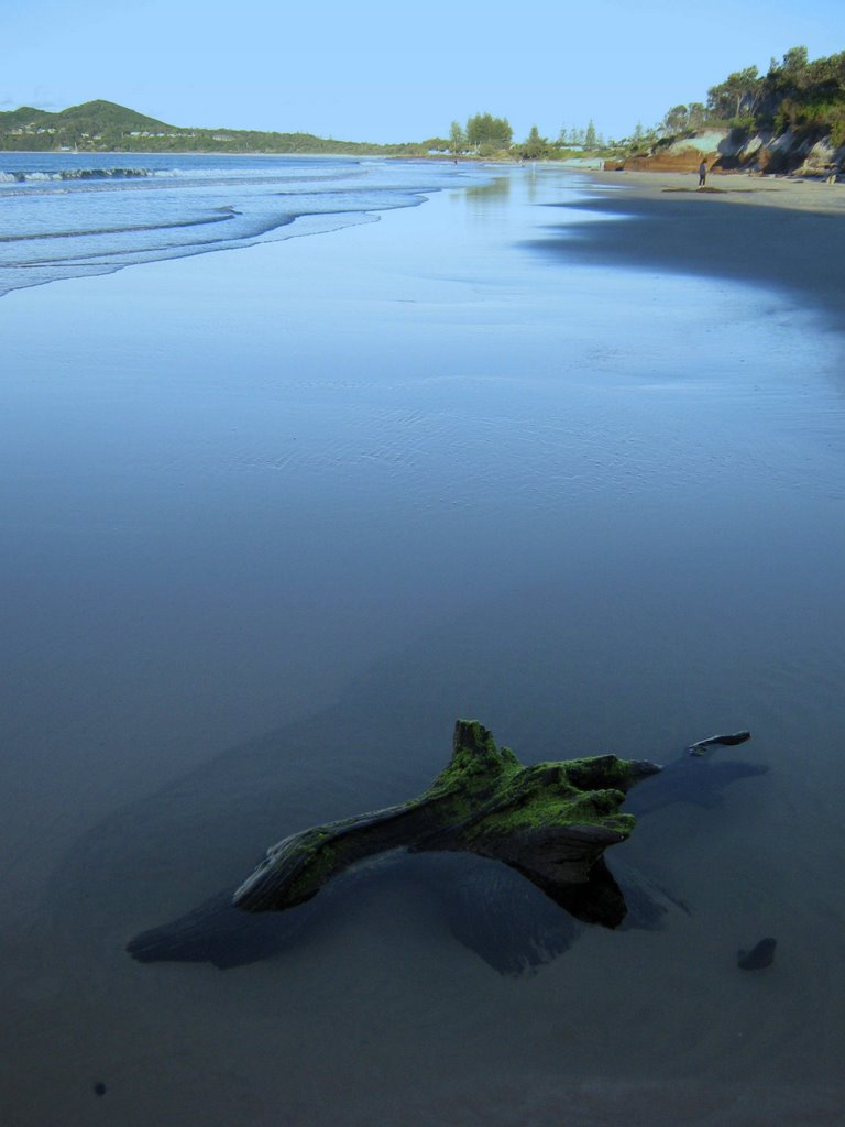
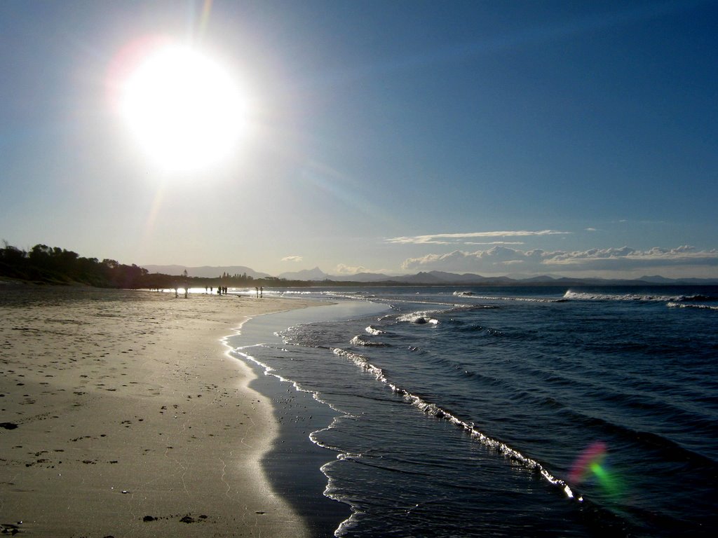
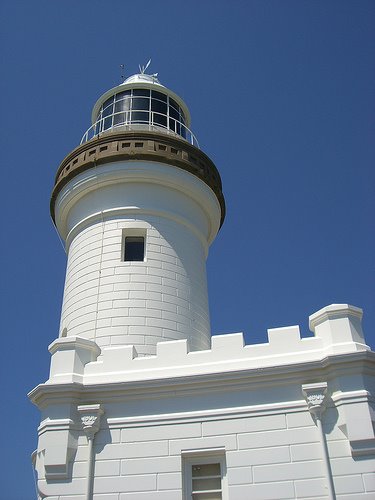
Photos of Byron Bay
Byron Bay Weather

Predicción: Clear sky
Temperatura: 20.4°
Humedad: 82%
Hora actual: 08:08 PM
Amanece: 06:04 AM
Anochece: 05:26 PM
Meandarra, Australia
Latitude: -27.3214 // Longitude: 149.881
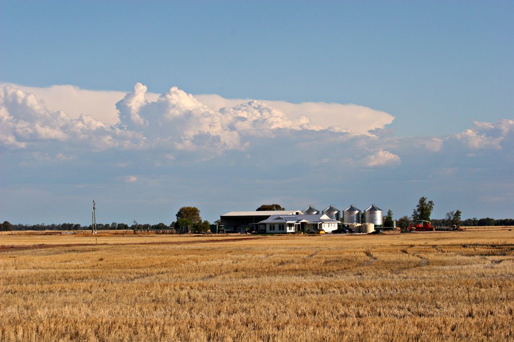
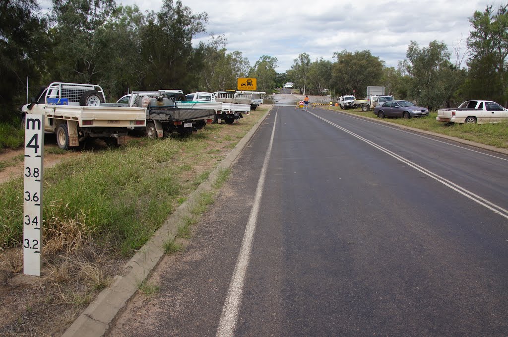
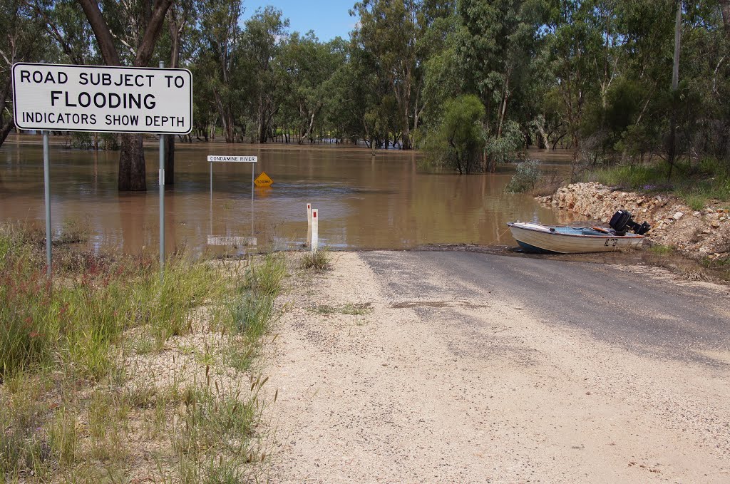
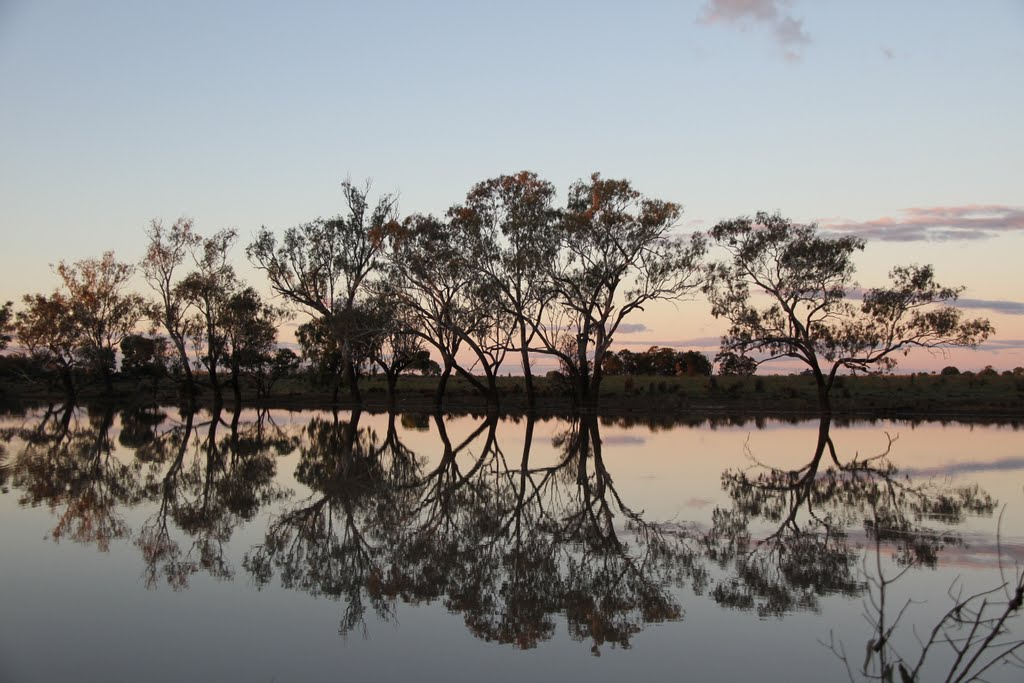
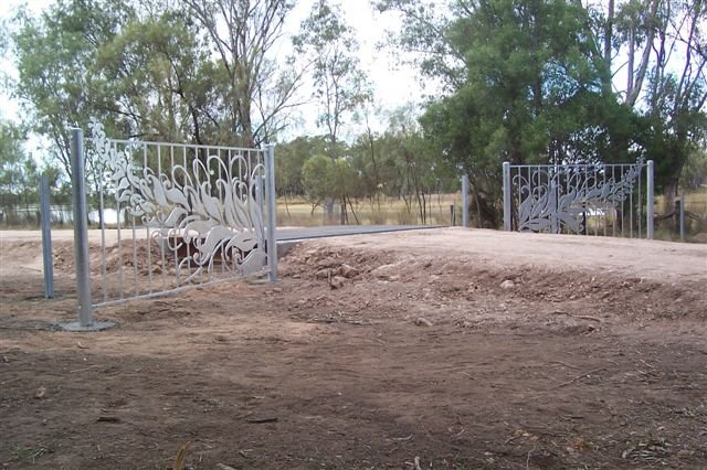
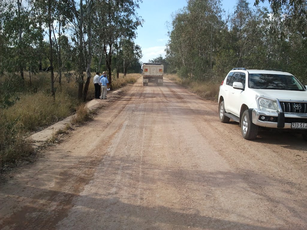
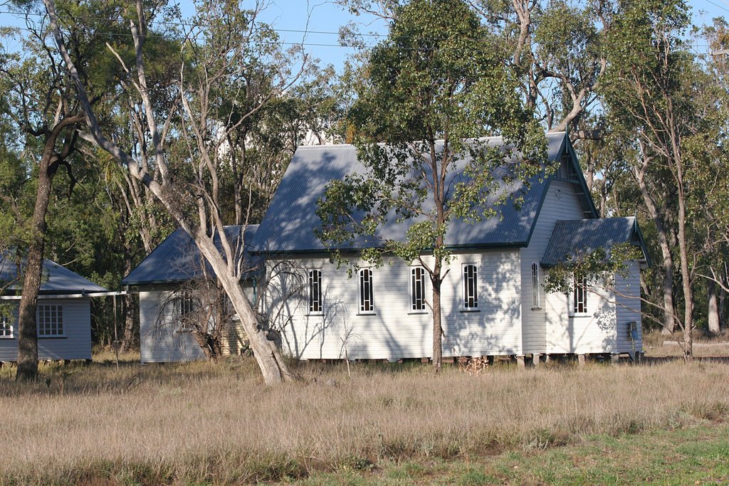
Photos of Meandarra
Meandarra Weather

Predicción: Scattered clouds
Temperatura: 23.8°
Humedad: 43%
Hora actual: 10:00 AM
Amanece: 06:17 AM
Anochece: 05:42 PM


