Distance between  Byrneside and
  Oxley Flats
67.74 mi Straight Distance
80.15 mi Driving Distance
1 hour 34 mins Estimated Driving Time
The straight distance between Byrneside (Victoria) and Oxley Flats (Victoria) is 67.74 mi, but the driving distance is 80.15 mi.
It takes to go from Byrneside to Oxley Flats.
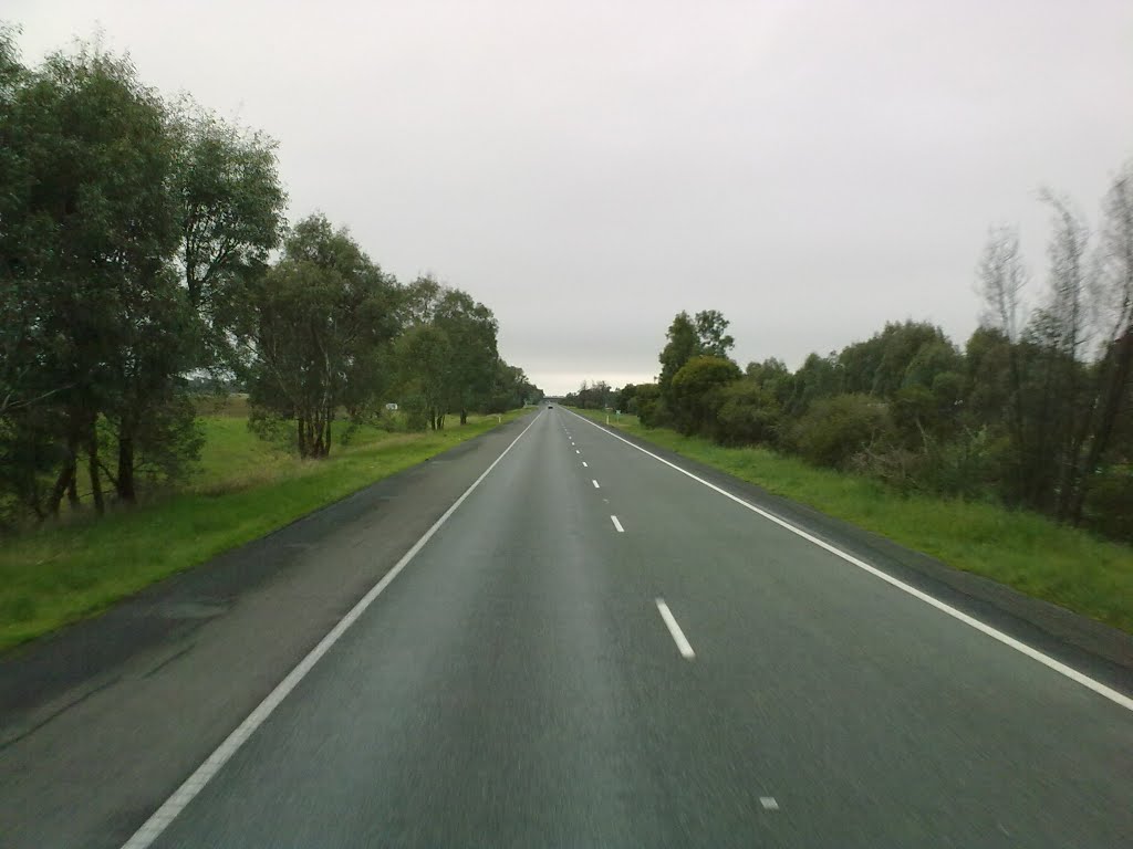
Driving directions from Byrneside to Oxley Flats
Distance in kilometers
Straight distance: 109.00 km. Route distance: 128.95 km
Byrneside, Australia
Latitude: -36.4209 // Longitude: 145.174
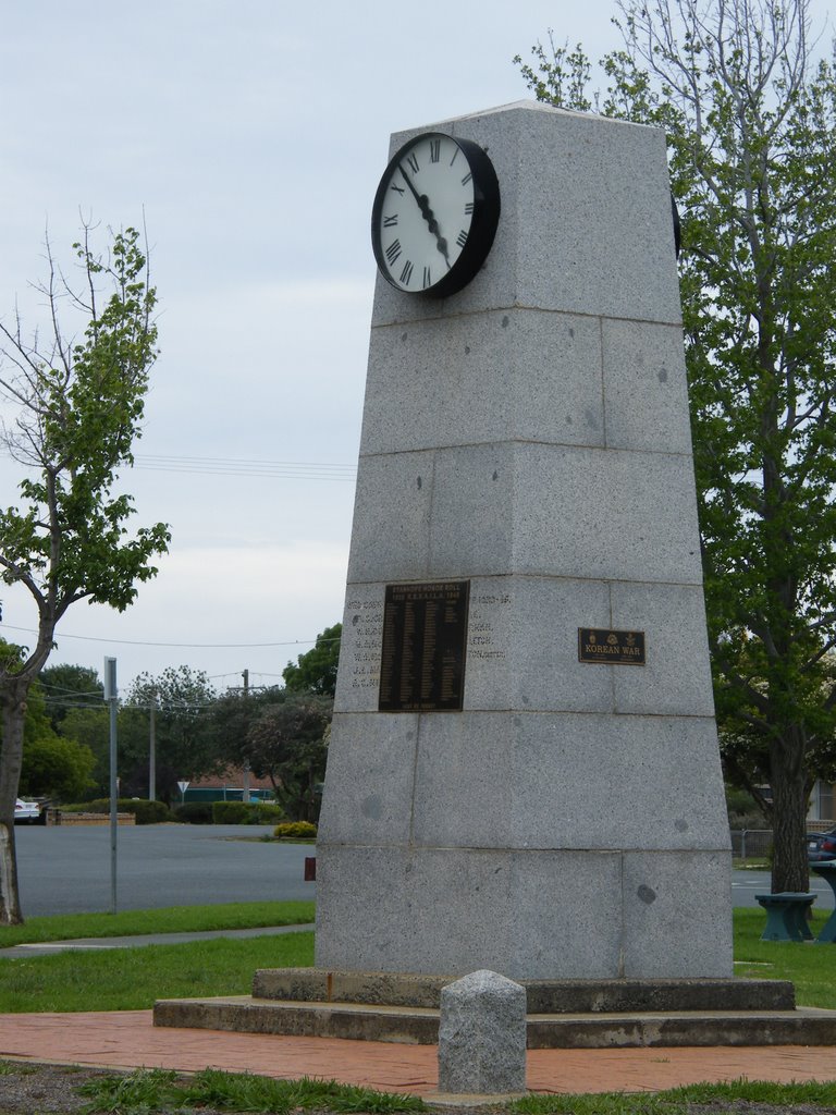
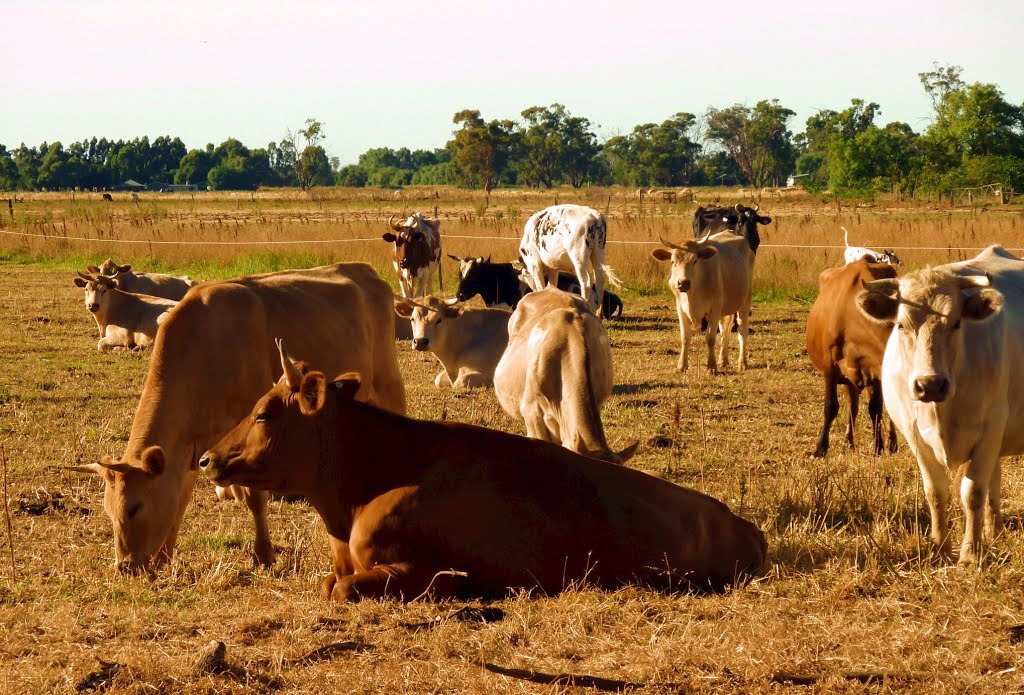
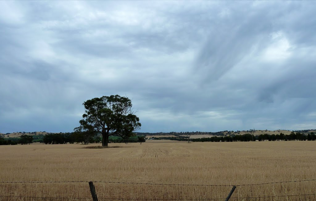
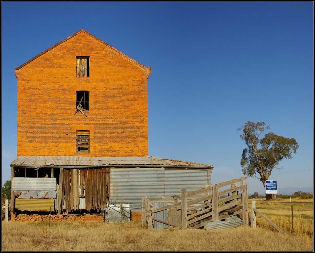
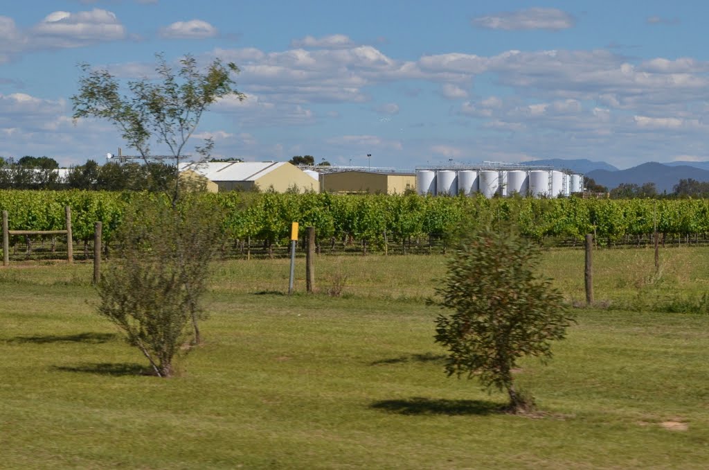
Photos of Byrneside
Byrneside Weather

Predicción: Broken clouds
Temperatura: 17.2°
Humedad: 49%
Hora actual: 06:46 PM
Amanece: 06:45 AM
Anochece: 05:52 PM
Oxley Flats, Australia
Latitude: -36.3991 // Longitude: 146.392
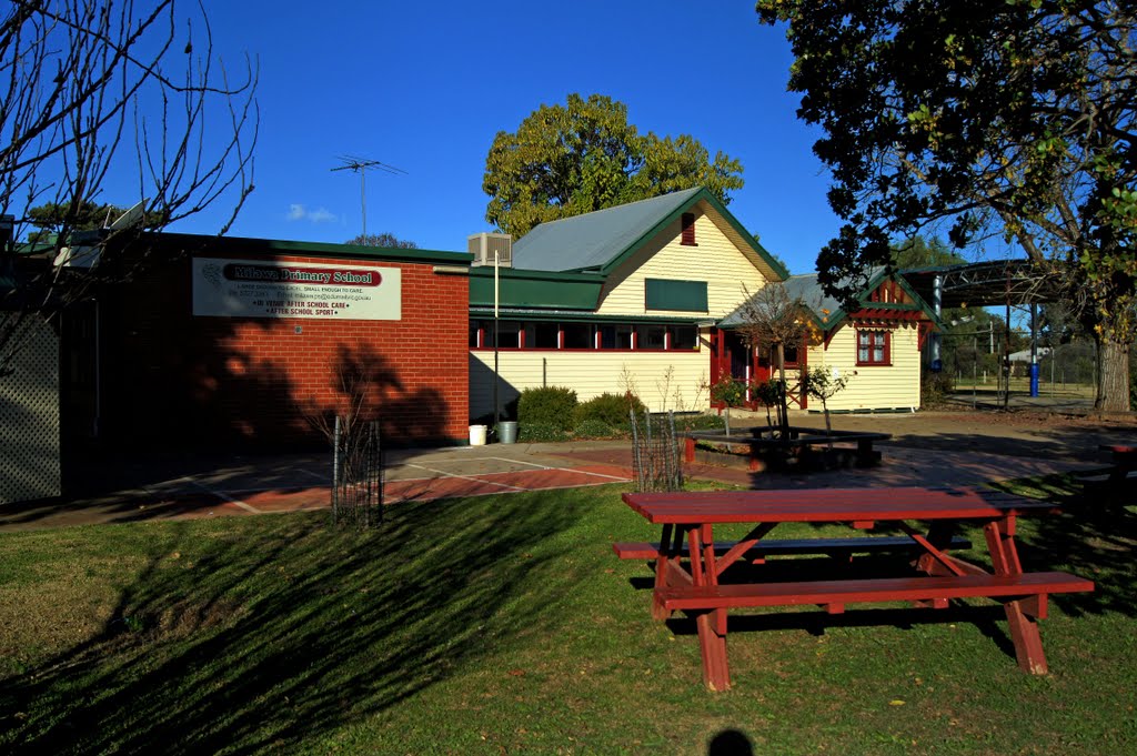
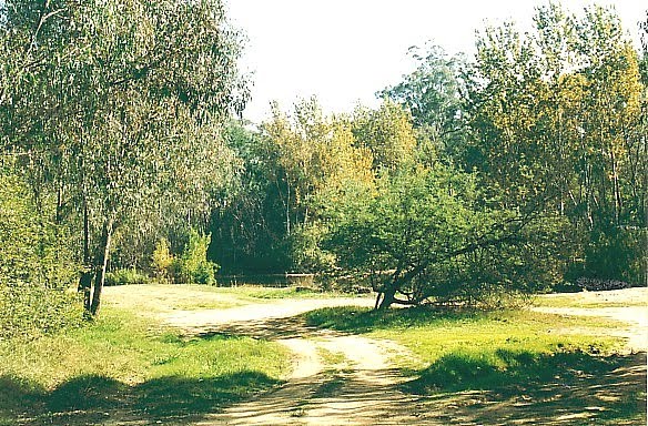
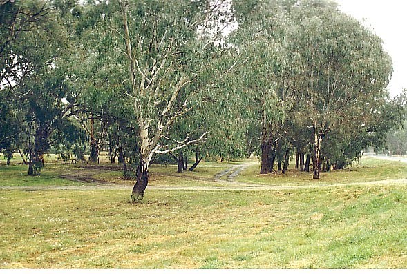
Photos of Oxley Flats
Oxley Flats Weather

Predicción: Few clouds
Temperatura: 11.9°
Humedad: 76%
Hora actual: 06:46 PM
Amanece: 06:40 AM
Anochece: 05:47 PM


