Distance between  Byaduk North and
  Uranquinty
347.66 mi Straight Distance
444.37 mi Driving Distance
7 hours 20 mins Estimated Driving Time
The straight distance between Byaduk North (Victoria) and Uranquinty (New South Wales) is 347.66 mi, but the driving distance is 444.37 mi.
It takes to go from Byaduk North to Uranquinty.
Driving directions from Byaduk North to Uranquinty
Distance in kilometers
Straight distance: 559.38 km. Route distance: 714.99 km
Byaduk North, Australia
Latitude: -37.8895 // Longitude: 141.958
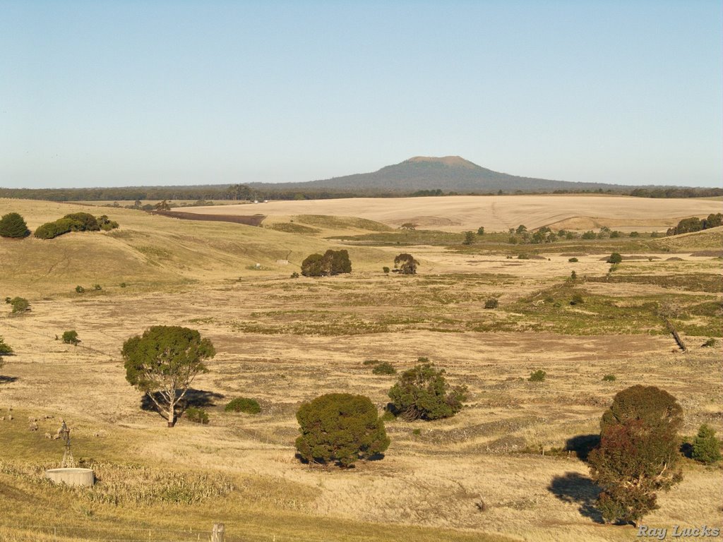
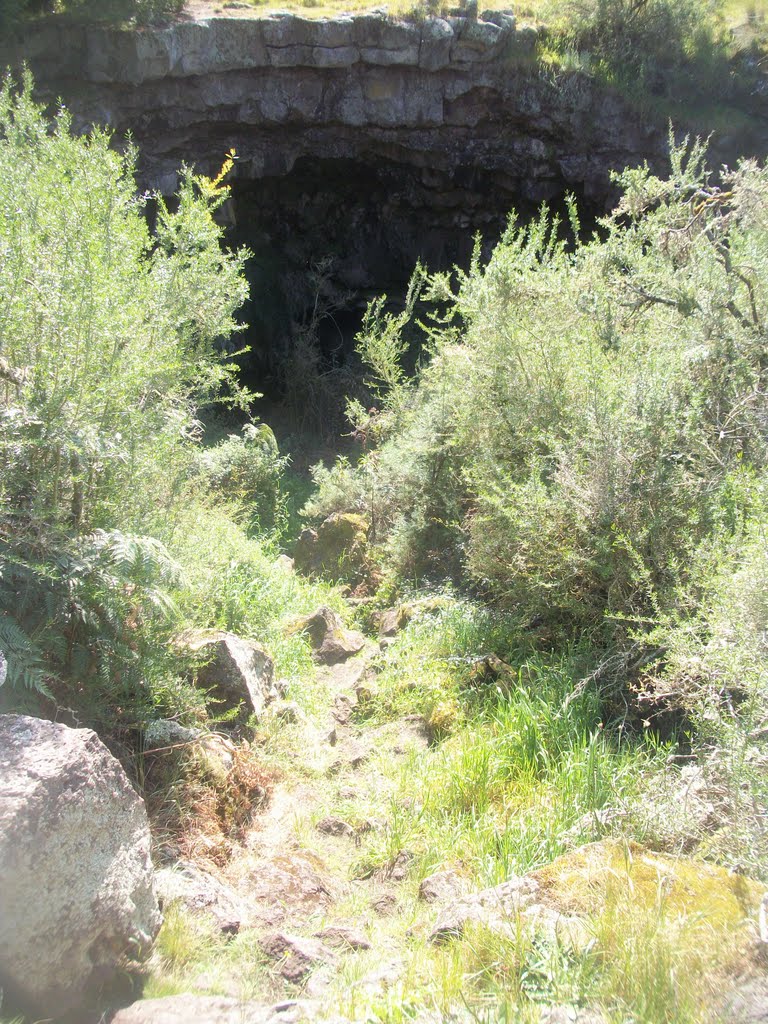
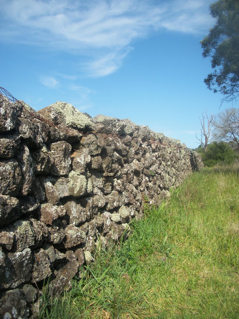
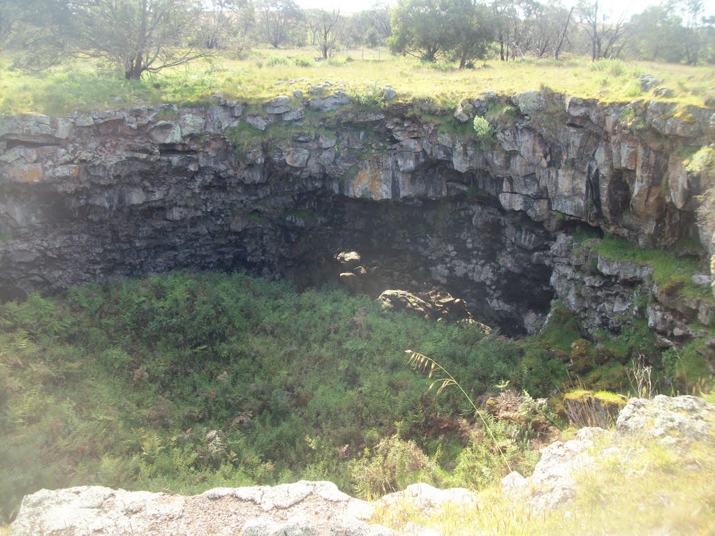
Photos of Byaduk North
Byaduk North Weather

Predicción: Light rain
Temperatura: 11.7°
Humedad: 83%
Hora actual: 12:00 AM
Amanece: 09:00 PM
Anochece: 08:03 AM
Uranquinty, Australia
Latitude: -35.1924 // Longitude: 147.247
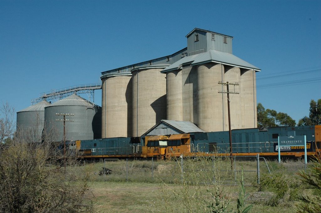
Photos of Uranquinty
Uranquinty Weather

Predicción: Scattered clouds
Temperatura: 15.4°
Humedad: 54%
Hora actual: 09:02 PM
Amanece: 06:35 AM
Anochece: 05:45 PM


