Distance between  Bushfield and
  Tyrendarra
40.77 mi Straight Distance
50.07 mi Driving Distance
55 minutes Estimated Driving Time
The straight distance between Bushfield (Victoria) and Tyrendarra (Victoria) is 40.77 mi, but the driving distance is 50.07 mi.
It takes to go from Bushfield to Tyrendarra.
Driving directions from Bushfield to Tyrendarra
Distance in kilometers
Straight distance: 65.59 km. Route distance: 80.56 km
Bushfield, Australia
Latitude: -38.3258 // Longitude: 142.52
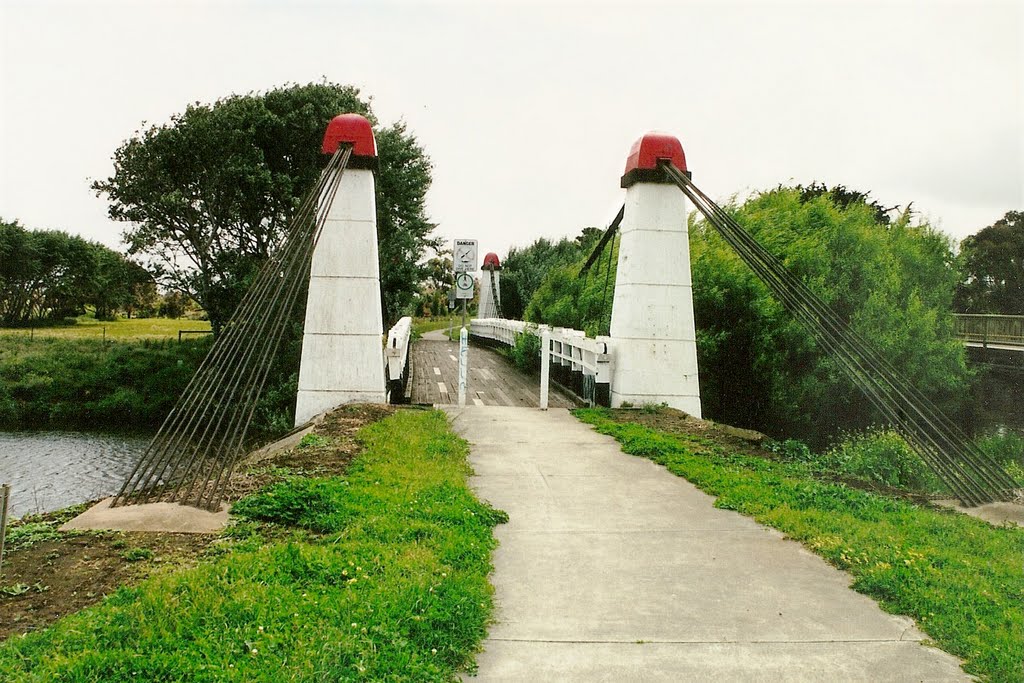
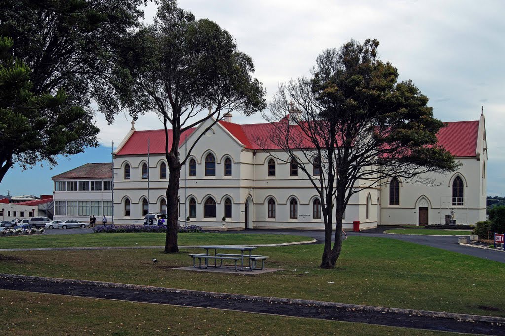
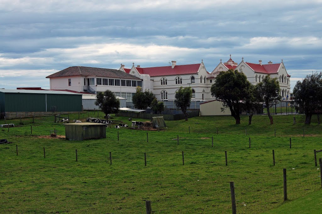
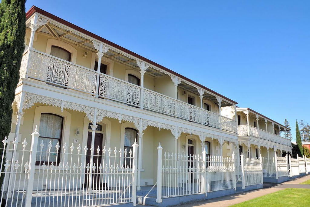
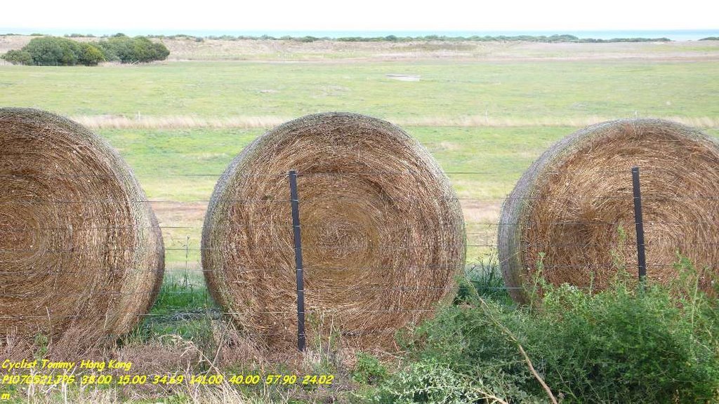
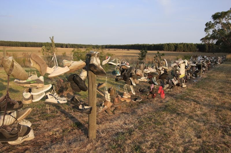
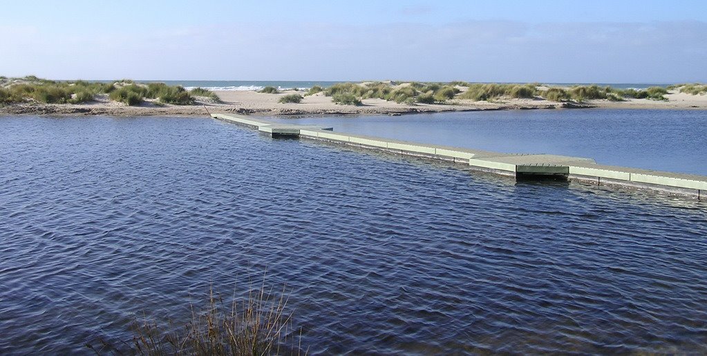
Photos of Bushfield
Bushfield Weather

Predicción: Overcast clouds
Temperatura: 14.7°
Humedad: 69%
Hora actual: 09:48 AM
Amanece: 06:59 AM
Anochece: 05:59 PM
Tyrendarra, Australia
Latitude: -38.2184 // Longitude: 141.781
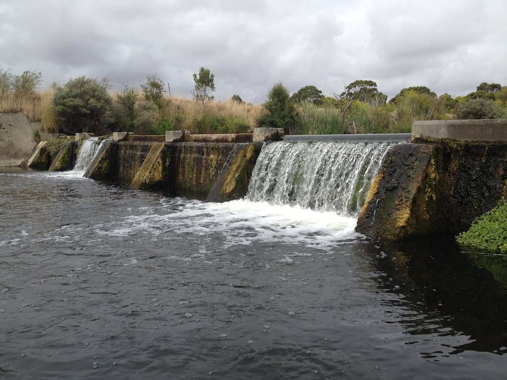
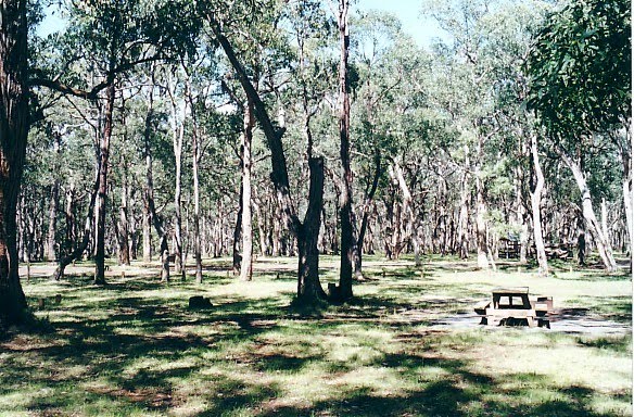
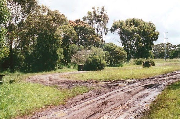
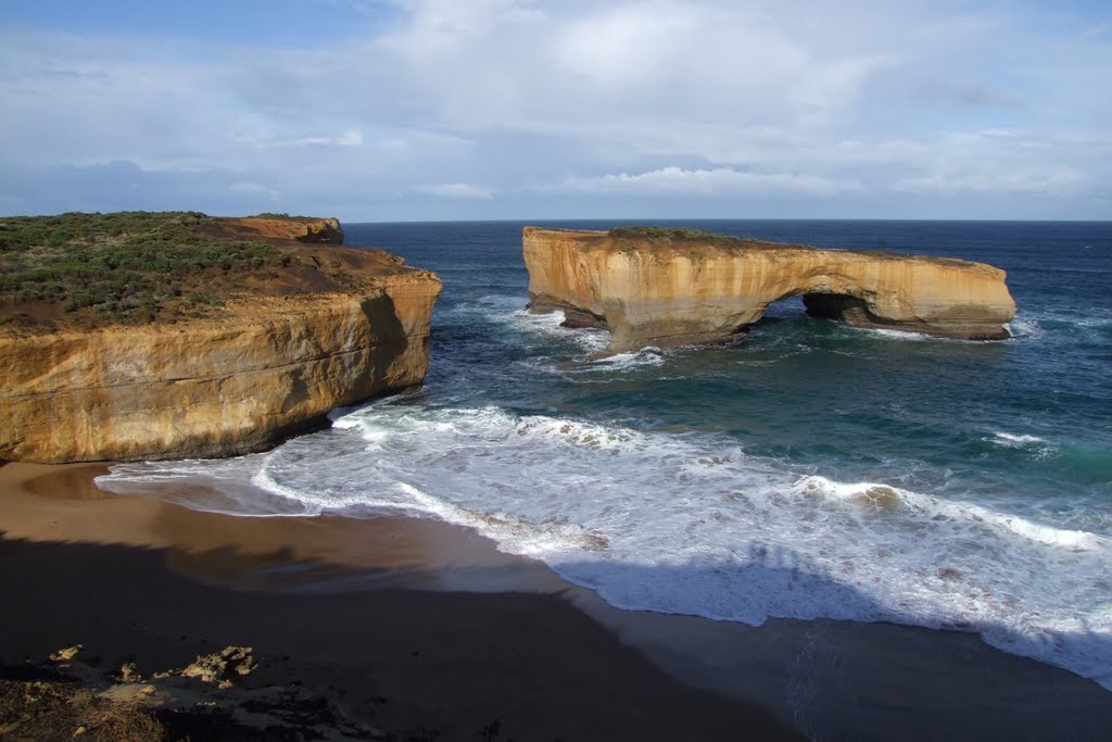
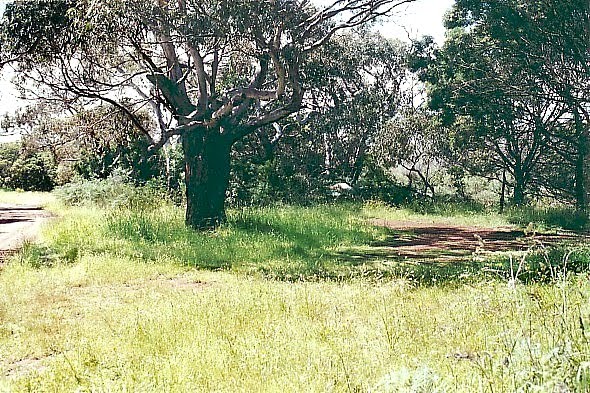
Photos of Tyrendarra
Tyrendarra Weather

Predicción: Overcast clouds
Temperatura: 15.2°
Humedad: 65%
Hora actual: 10:00 AM
Amanece: 07:02 AM
Anochece: 06:02 PM


