Distance between  Burrill Lake and
  Mungallala
641.11 mi Straight Distance
846.39 mi Driving Distance
14 hours 8 mins Estimated Driving Time
The straight distance between Burrill Lake (New South Wales) and Mungallala (Queensland) is 641.11 mi, but the driving distance is 846.39 mi.
It takes to go from Burrill Lake to Mungallala.
Driving directions from Burrill Lake to Mungallala
Distance in kilometers
Straight distance: 1,031.55 km. Route distance: 1,361.84 km
Burrill Lake, Australia
Latitude: -35.3886 // Longitude: 150.445
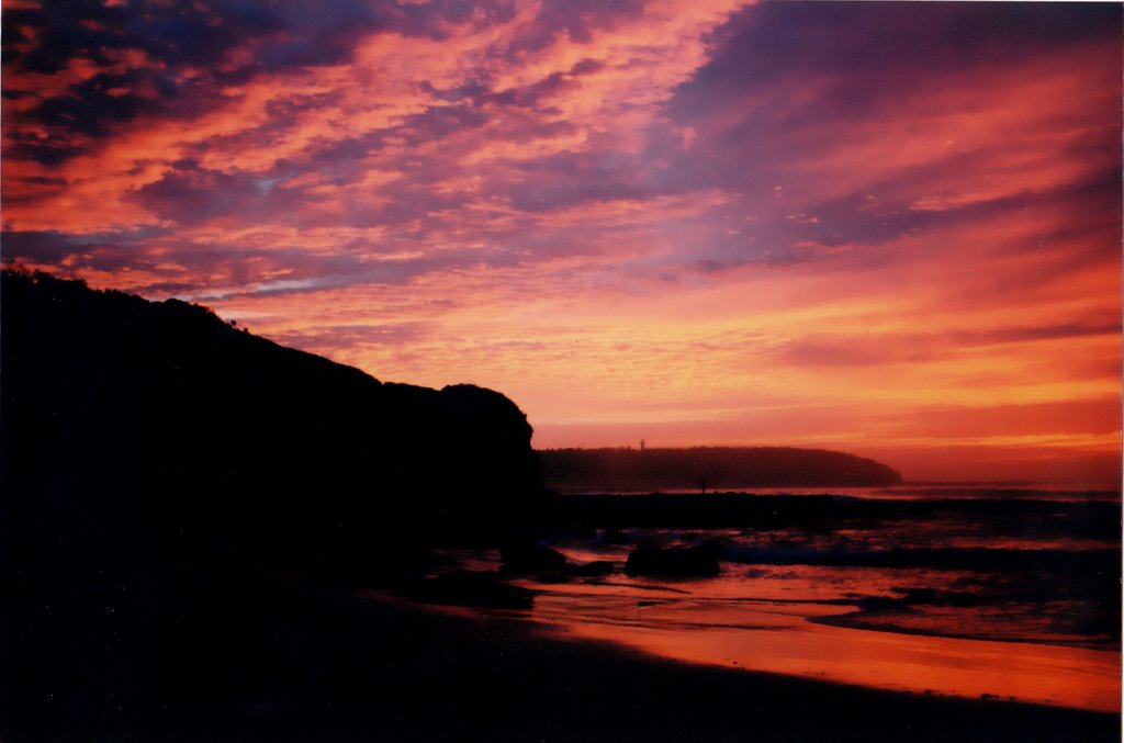
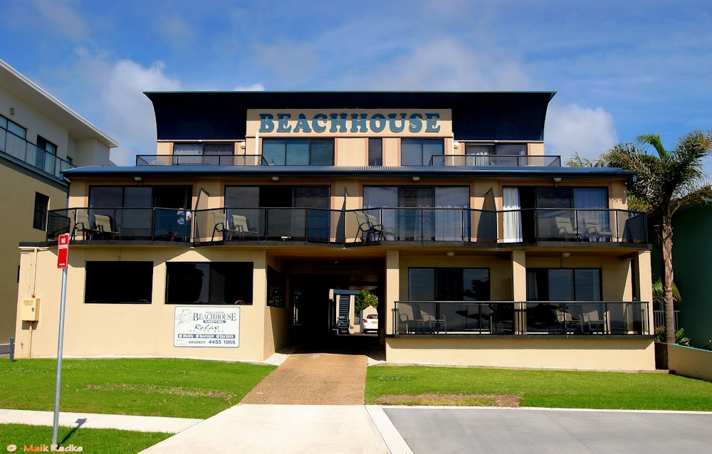
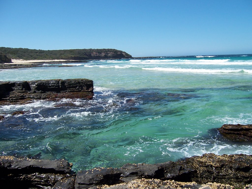
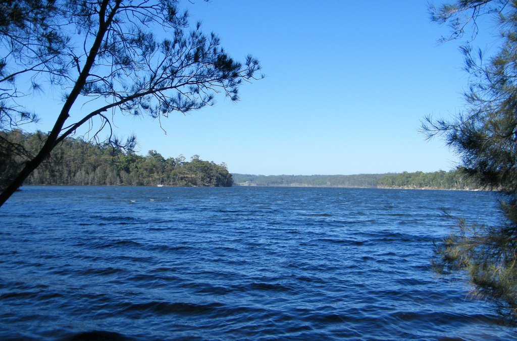
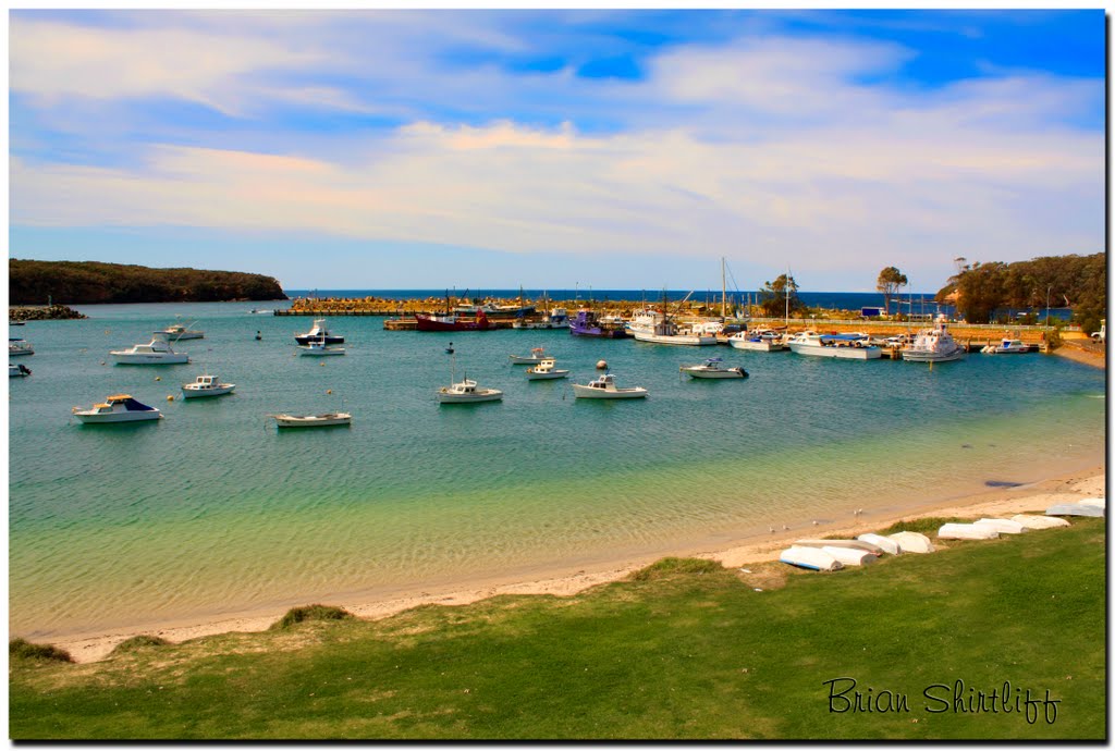
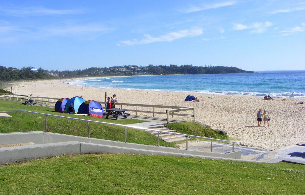
Photos of Burrill Lake
Burrill Lake Weather

Predicción: Broken clouds
Temperatura: 17.3°
Humedad: 86%
Hora actual: 09:54 AM
Amanece: 06:24 AM
Anochece: 05:31 PM
Mungallala, Australia
Latitude: -26.4489 // Longitude: 147.541
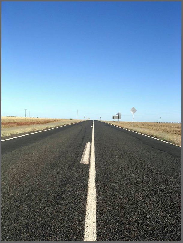
Photos of Mungallala
Mungallala Weather

Predicción: Few clouds
Temperatura: 24.9°
Humedad: 51%
Hora actual: 10:00 AM
Amanece: 06:26 AM
Anochece: 05:51 PM


