Distance between  Burradoo and
  Bolivia
370.31 mi Straight Distance
461.07 mi Driving Distance
8 hours 6 mins Estimated Driving Time
The straight distance between Burradoo (New South Wales) and Bolivia (New South Wales) is 370.31 mi, but the driving distance is 461.07 mi.
It takes 8 hours 20 mins to go from Burradoo to Bolivia.
Driving directions from Burradoo to Bolivia
Distance in kilometers
Straight distance: 595.83 km. Route distance: 741.87 km
Burradoo, Australia
Latitude: -34.4981 // Longitude: 150.408
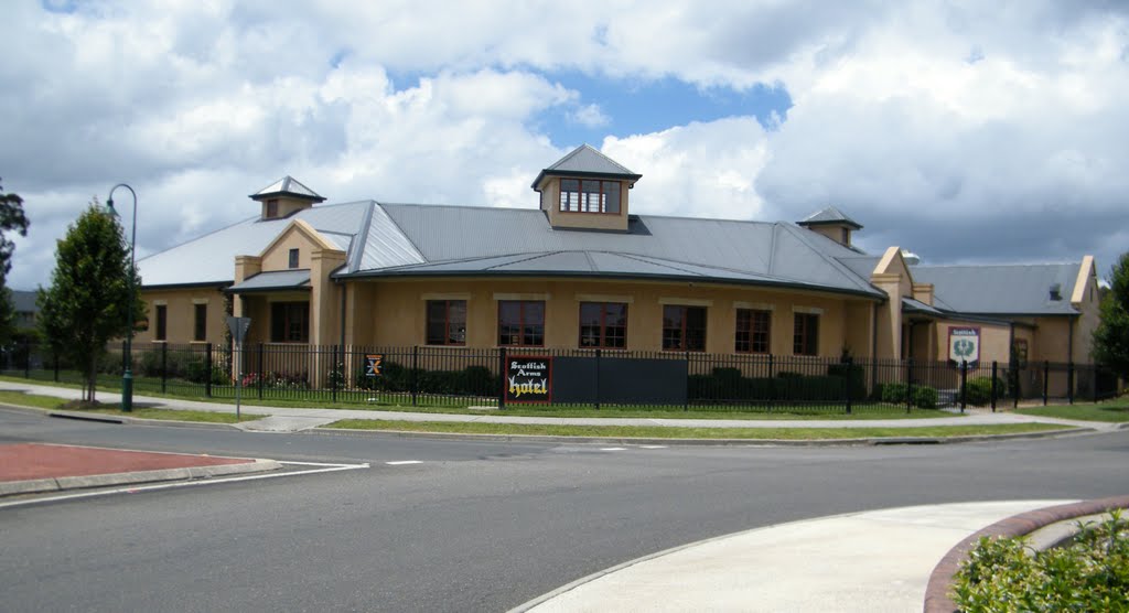
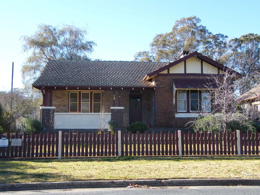
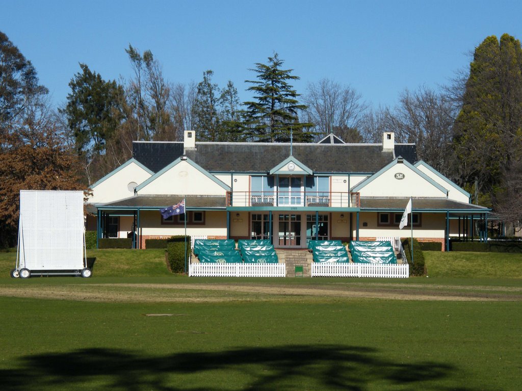
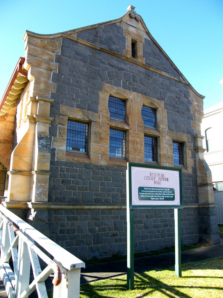
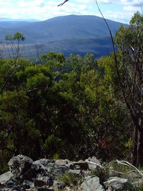
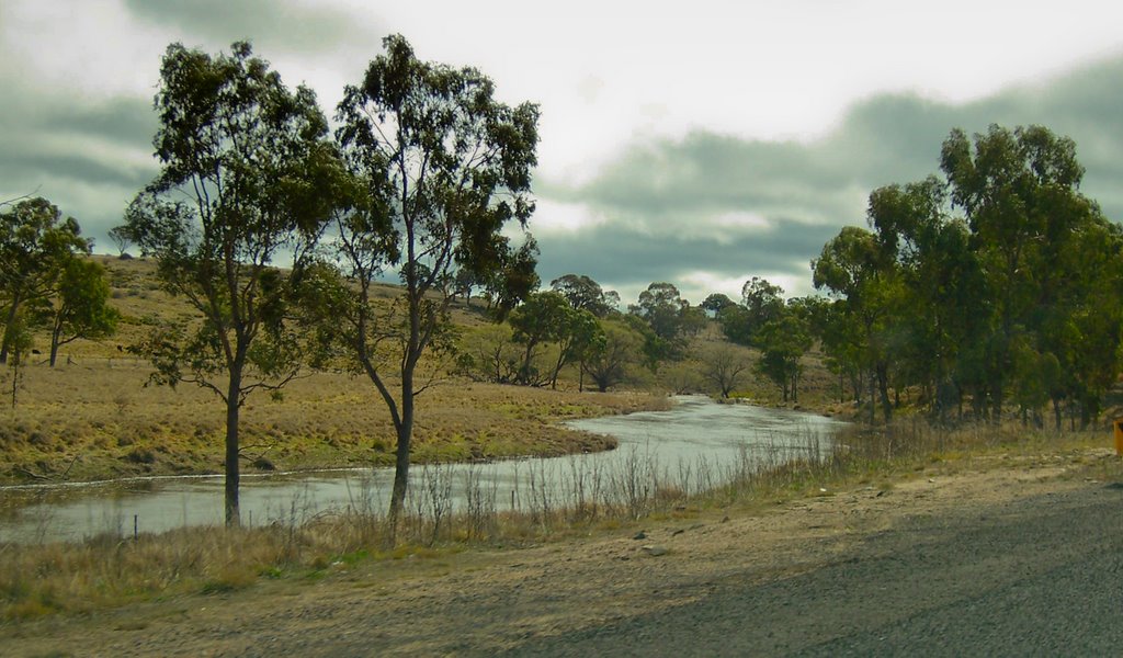
Photos of Burradoo
Burradoo Weather

Predicción: Overcast clouds
Temperatura: 10.8°
Humedad: 90%
Hora actual: 07:08 AM
Amanece: 06:23 AM
Anochece: 05:32 PM
Bolivia, Australia
Latitude: -29.3017 // Longitude: 151.955
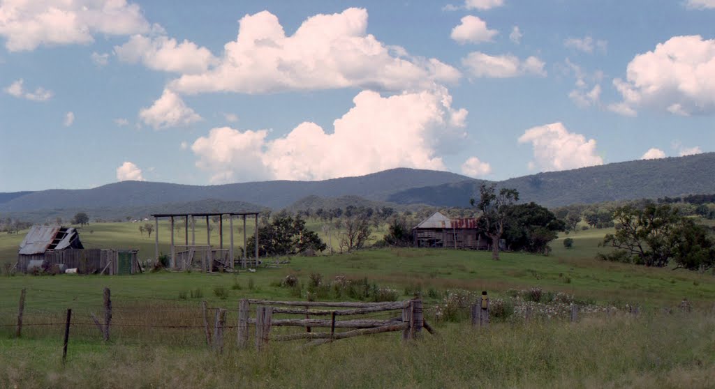
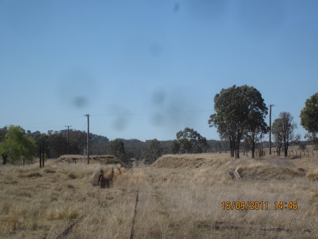
Photos of Bolivia
Bolivia Weather

Predicción: Clear sky
Temperatura: 13.3°
Humedad: 87%
Hora actual: 10:00 AM
Amanece: 06:11 AM
Anochece: 05:31 PM


