Distance between  Buragwonduc and
  Cundare
176.25 mi Straight Distance
273.61 mi Driving Distance
5 hours 35 mins Estimated Driving Time
The straight distance between Buragwonduc (Victoria) and Cundare (Victoria) is 176.25 mi, but the driving distance is 273.61 mi.
It takes to go from Buragwonduc to Cundare.
Driving directions from Buragwonduc to Cundare
Distance in kilometers
Straight distance: 283.59 km. Route distance: 440.24 km
Buragwonduc, Australia
Latitude: -37.4841 // Longitude: 146.705
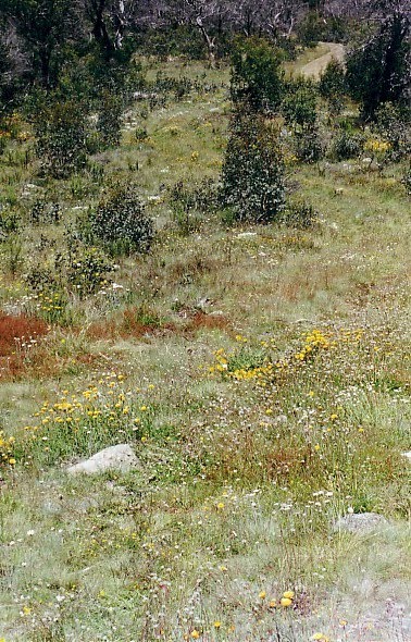
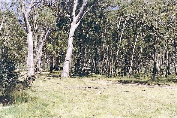
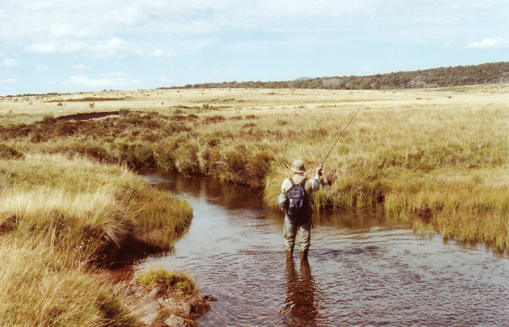
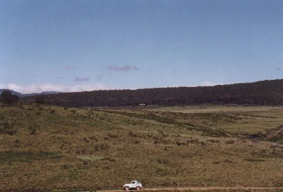
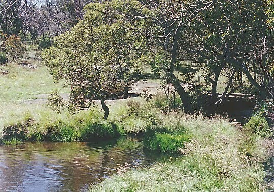
Photos of Buragwonduc
Buragwonduc Weather

Predicción: Broken clouds
Temperatura: 5.6°
Humedad: 98%
Hora actual: 12:00 AM
Amanece: 08:40 PM
Anochece: 07:44 AM
Cundare, Australia
Latitude: -38.1257 // Longitude: 143.58
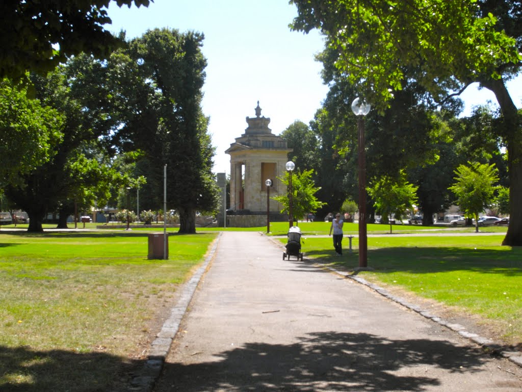
Photos of Cundare
Cundare Weather

Predicción: Overcast clouds
Temperatura: 10.7°
Humedad: 79%
Hora actual: 12:00 AM
Amanece: 08:54 PM
Anochece: 07:56 AM


