Distance between  Bungaree and
  Weatherboard
19 mi Straight Distance
22.12 mi Driving Distance
27 minutes Estimated Driving Time
The straight distance between Bungaree (Victoria) and Weatherboard (Victoria) is 19 mi, but the driving distance is 22.12 mi.
It takes to go from Bungaree to Weatherboard.
Driving directions from Bungaree to Weatherboard
Distance in kilometers
Straight distance: 30.57 km. Route distance: 35.60 km
Bungaree, Australia
Latitude: -37.5588 // Longitude: 143.997
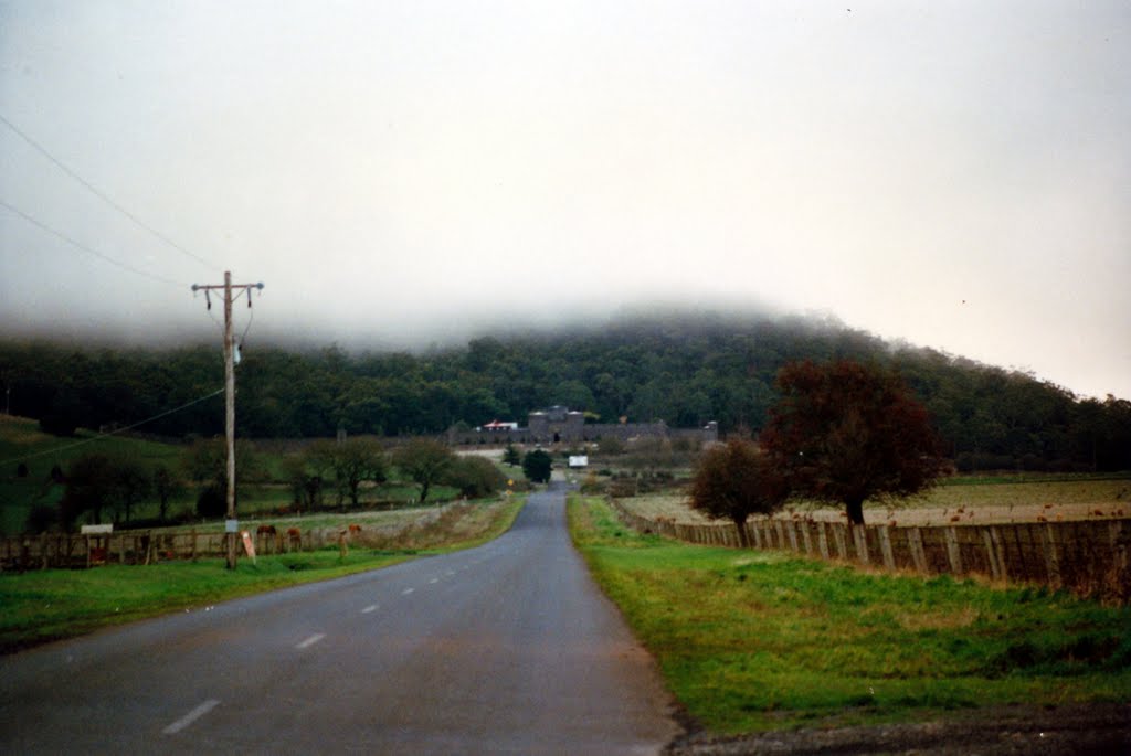
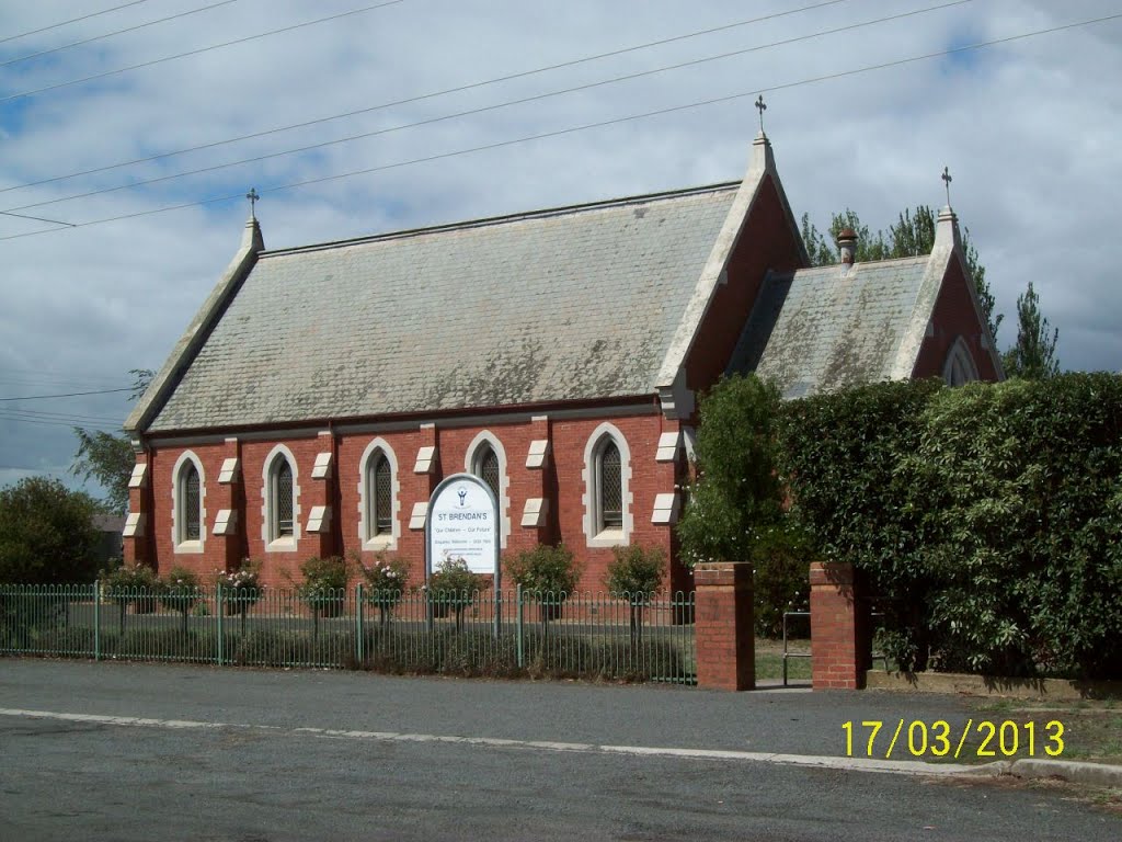
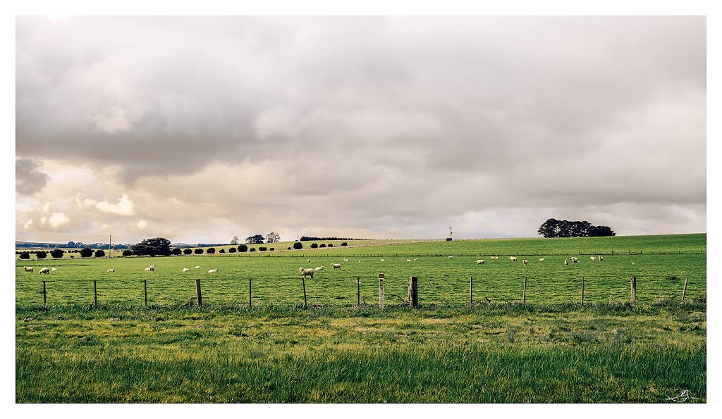
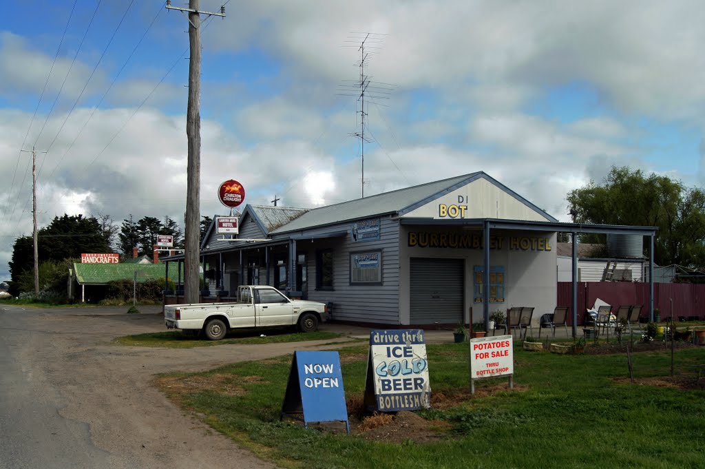
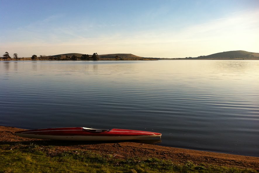
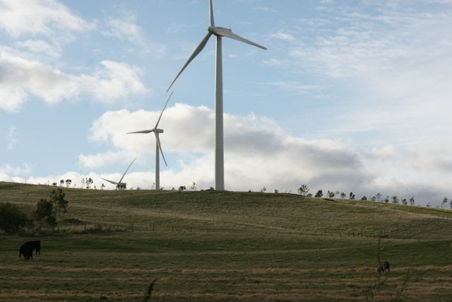
Photos of Bungaree
Bungaree Weather

Predicción: Overcast clouds
Temperatura: 9.6°
Humedad: 88%
Hora actual: 03:12 AM
Amanece: 06:52 AM
Anochece: 05:54 PM
Weatherboard, Australia
Latitude: -37.4459 // Longitude: 143.681
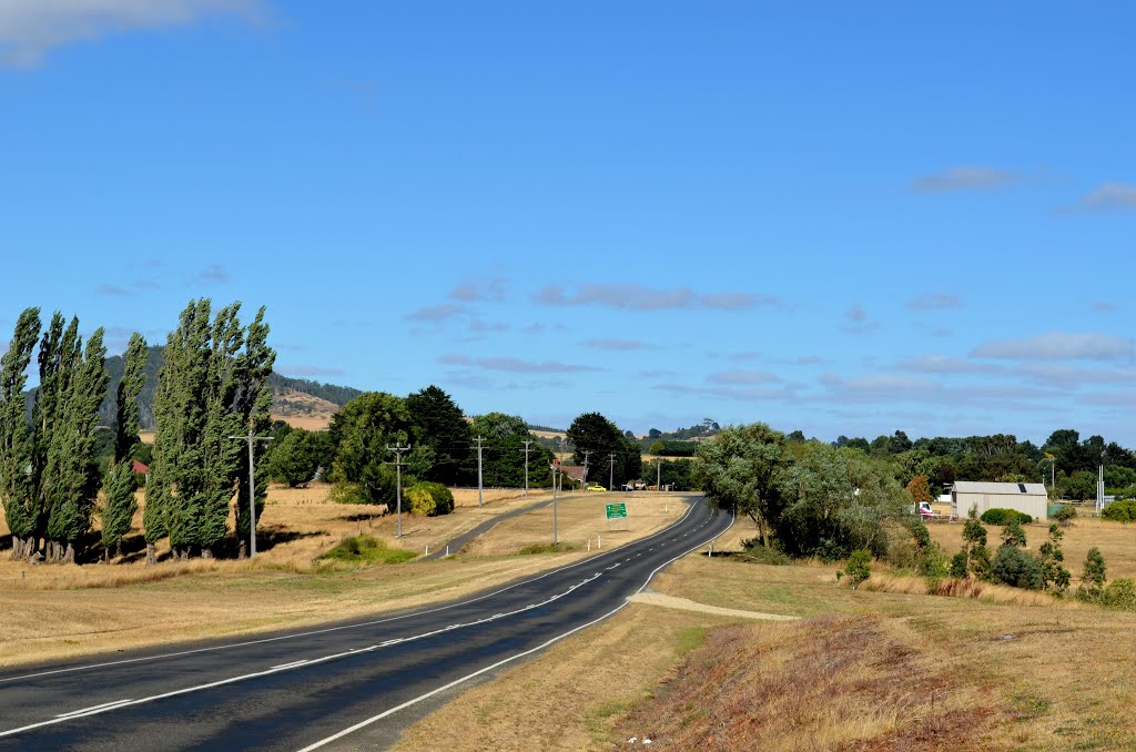
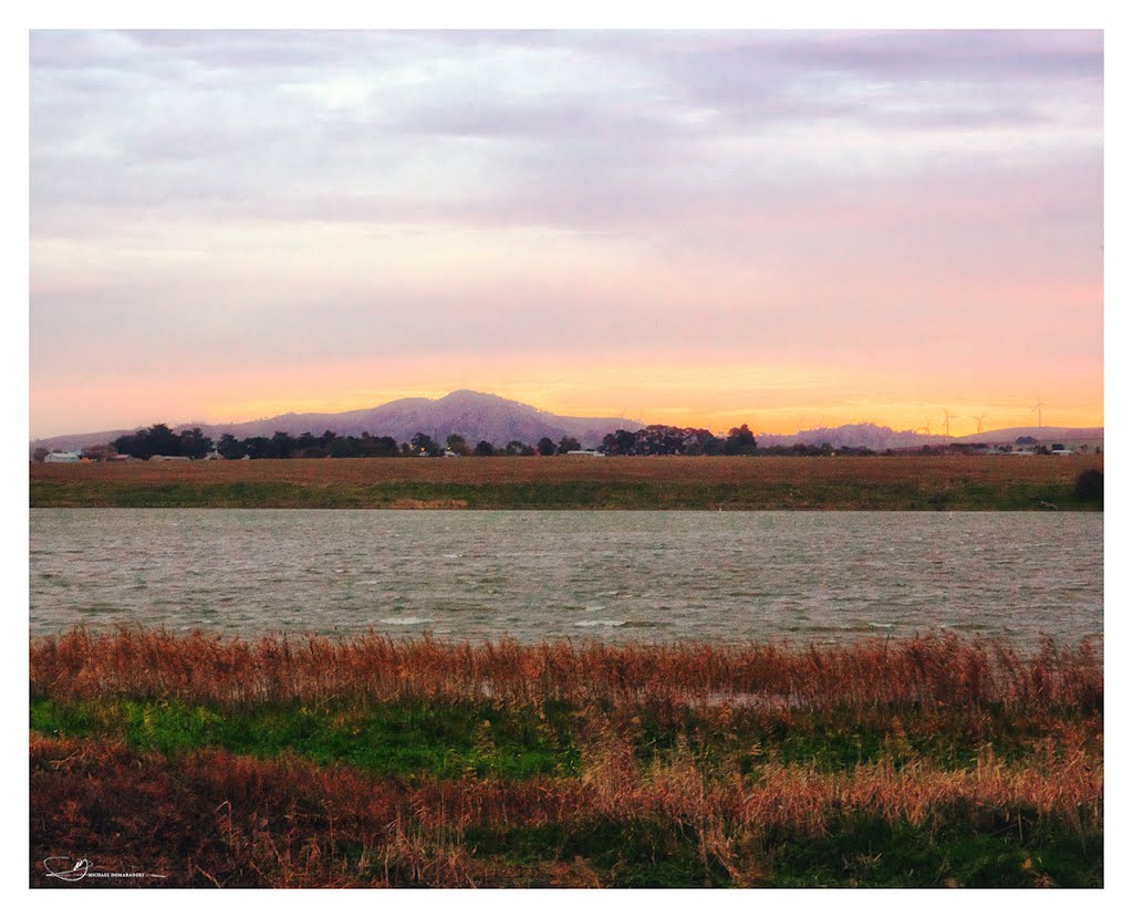
Photos of Weatherboard
Weatherboard Weather

Predicción: Overcast clouds
Temperatura: 10.4°
Humedad: 97%
Hora actual: 03:12 AM
Amanece: 06:53 AM
Anochece: 05:56 PM


