Distance between  Bunbartha and
  Samaria
57.70 mi Straight Distance
72.29 mi Driving Distance
1 hour 46 mins Estimated Driving Time
The straight distance between Bunbartha (Victoria) and Samaria (Victoria) is 57.70 mi, but the driving distance is 72.29 mi.
It takes 1 hour 26 mins to go from Bunbartha to Samaria.
Driving directions from Bunbartha to Samaria
Distance in kilometers
Straight distance: 92.83 km. Route distance: 116.32 km
Bunbartha, Australia
Latitude: -36.208 // Longitude: 145.332
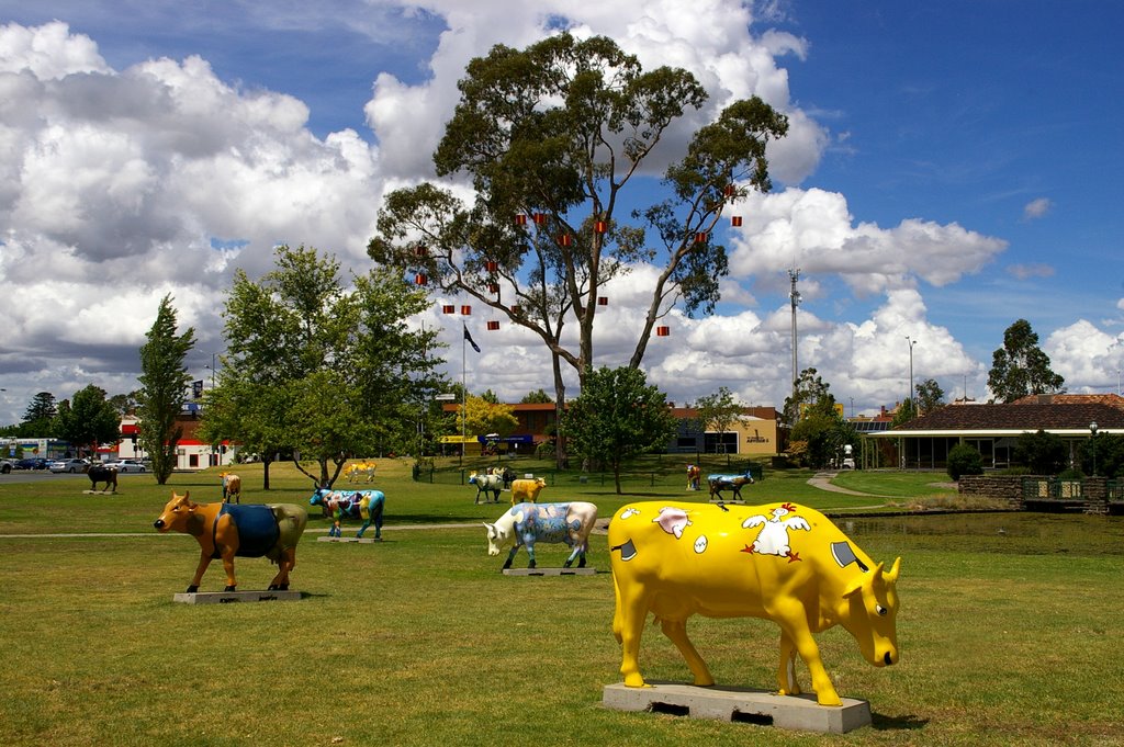
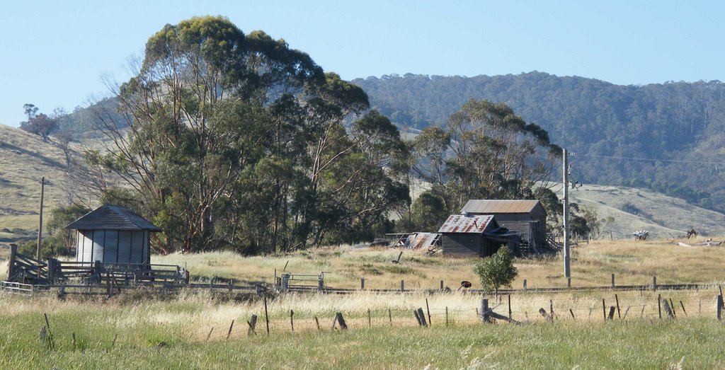
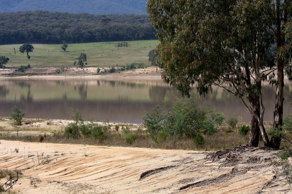
Photos of Bunbartha
Bunbartha Weather

Predicción: Few clouds
Temperatura: 19.7°
Humedad: 38%
Hora actual: 12:00 AM
Amanece: 08:46 PM
Anochece: 07:49 AM
Samaria, Australia
Latitude: -36.7924 // Longitude: 146.074
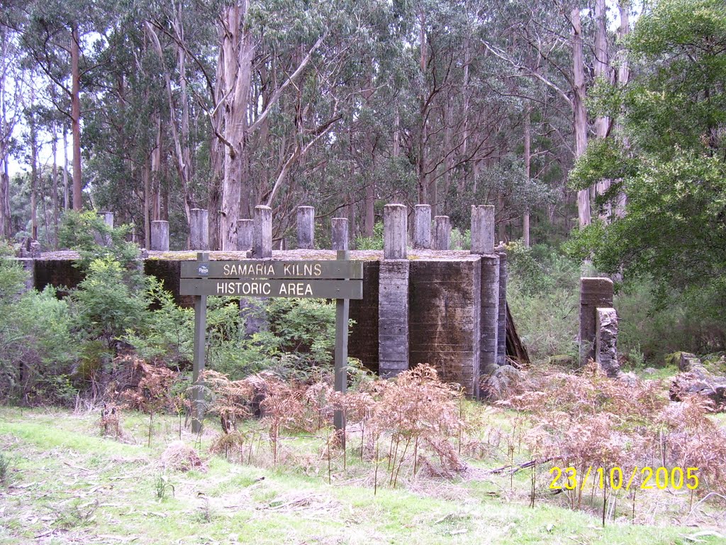
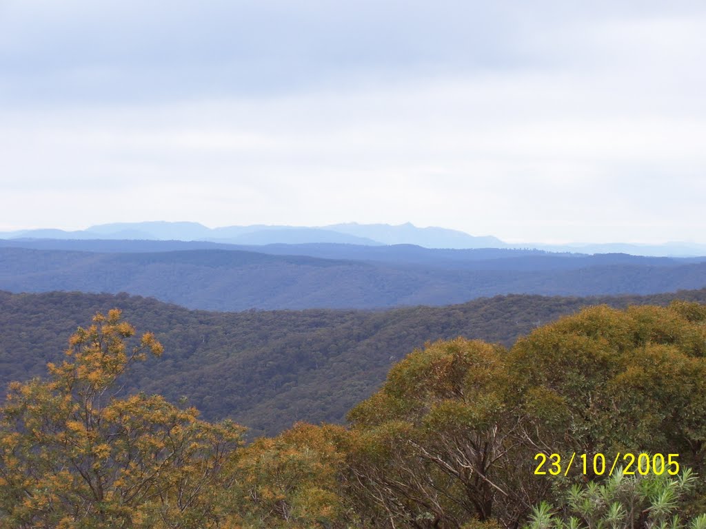
Photos of Samaria
Samaria Weather

Predicción: Few clouds
Temperatura: 17.9°
Humedad: 42%
Hora actual: 12:00 AM
Amanece: 08:44 PM
Anochece: 07:45 AM


