Distance between  Bulong and
  Beacon
234.06 mi Straight Distance
293.74 mi Driving Distance
5 hours 31 mins Estimated Driving Time
The straight distance between Bulong (Western Australia) and Beacon (Western Australia) is 234.06 mi, but the driving distance is 293.74 mi.
It takes 6 hours 27 mins to go from Bulong to Beacon.
Driving directions from Bulong to Beacon
Distance in kilometers
Straight distance: 376.60 km. Route distance: 472.62 km
Bulong, Australia
Latitude: -30.746 // Longitude: 121.791
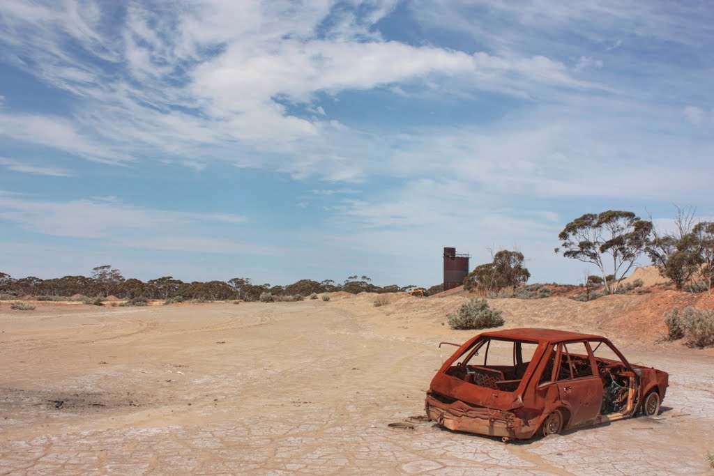
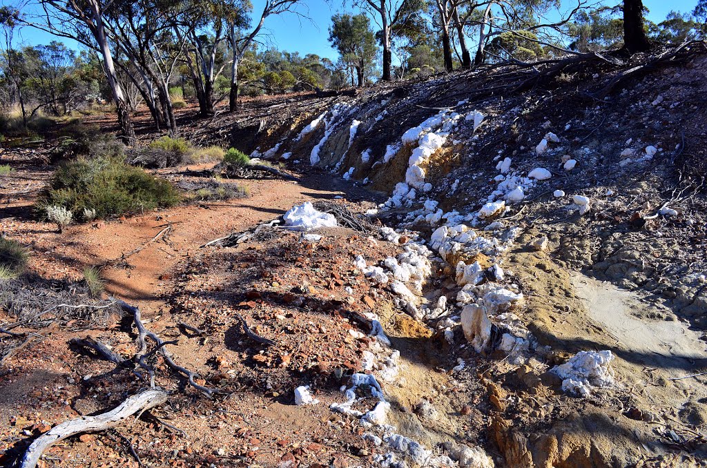
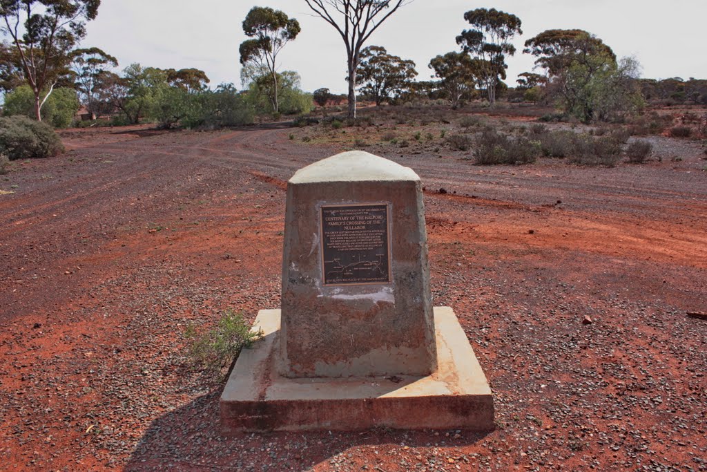
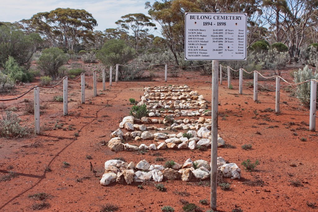
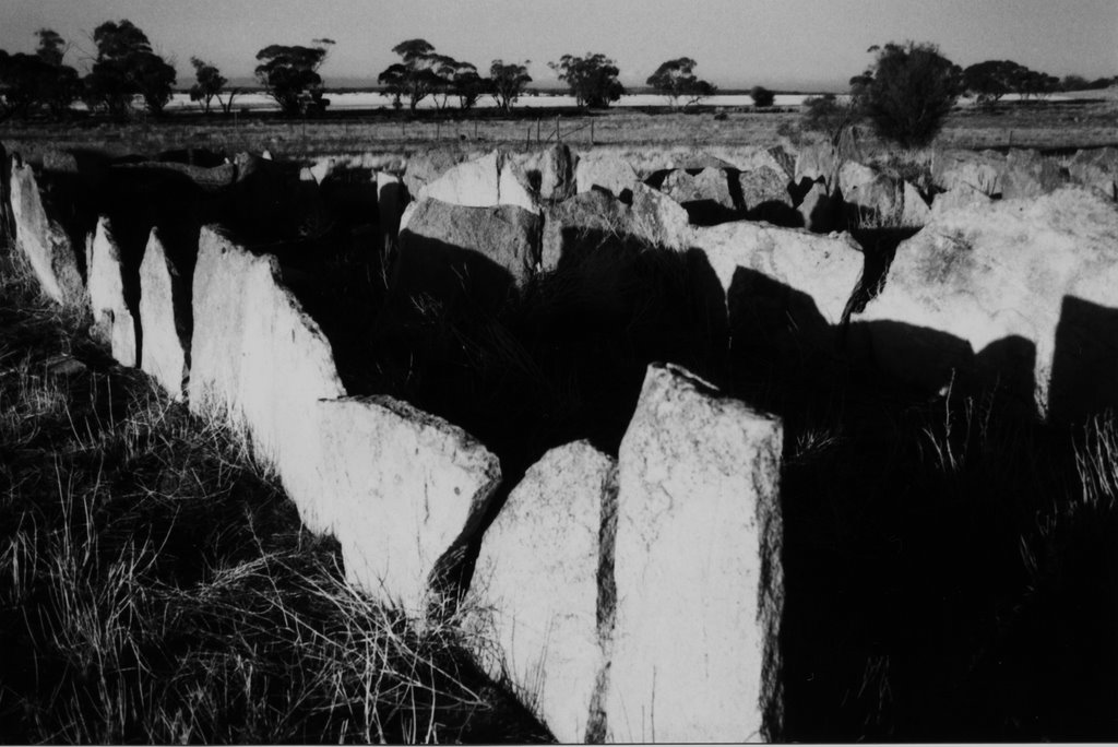
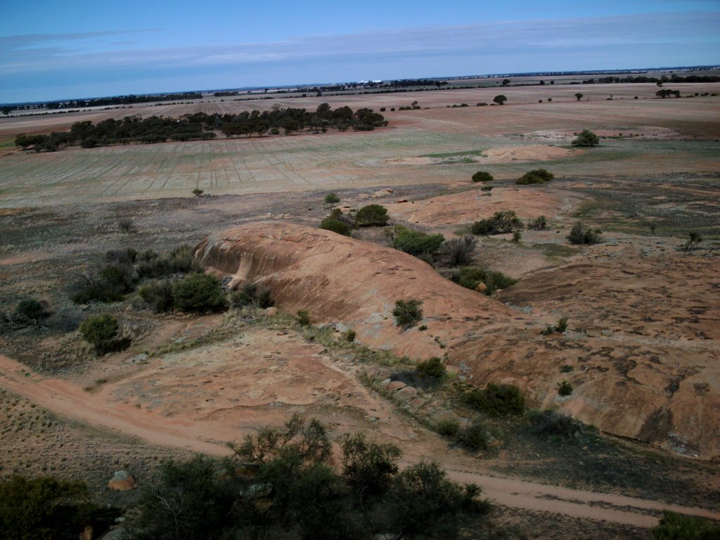
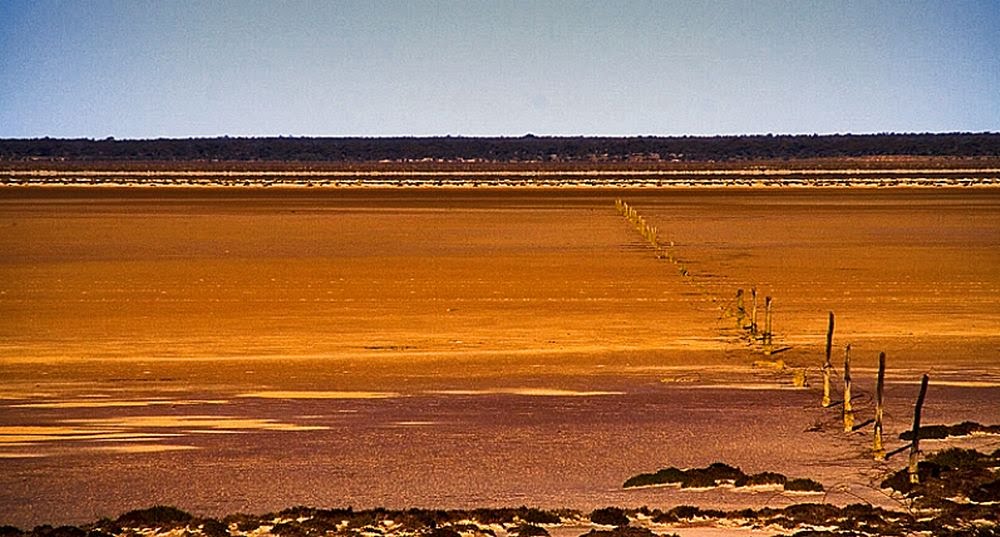
Photos of Bulong
Bulong Weather

Predicción: Clear sky
Temperatura: 23.8°
Humedad: 30%
Hora actual: 12:00 AM
Amanece: 10:14 PM
Anochece: 09:29 AM
Beacon, Australia
Latitude: -30.452 // Longitude: 117.87
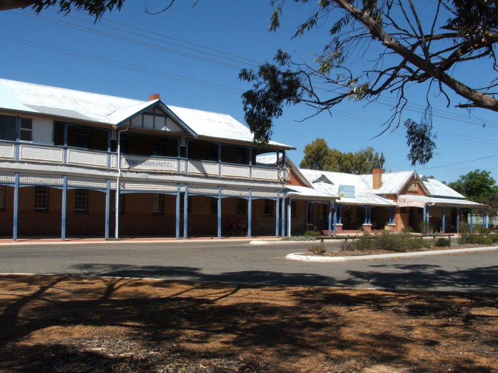
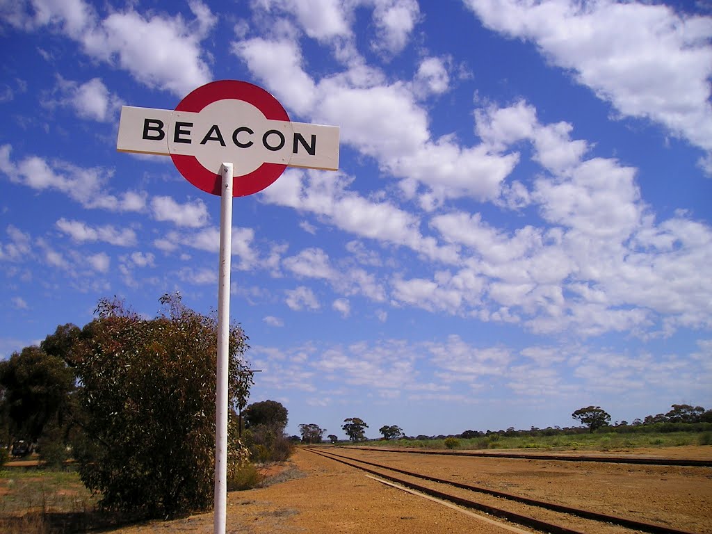
Photos of Beacon
Beacon Weather

Predicción: Clear sky
Temperatura: 27.7°
Humedad: 22%
Hora actual: 12:00 AM
Amanece: 10:30 PM
Anochece: 09:45 AM


