Distance between  Buldah and
  Bravington
184.77 mi Straight Distance
245.28 mi Driving Distance
4 hours 35 mins Estimated Driving Time
The straight distance between Buldah (Victoria) and Bravington (Victoria) is 184.77 mi, but the driving distance is 245.28 mi.
It takes to go from Buldah to Bravington.
Driving directions from Buldah to Bravington
Distance in kilometers
Straight distance: 297.29 km. Route distance: 394.66 km
Buldah, Australia
Latitude: -37.269 // Longitude: 149.145
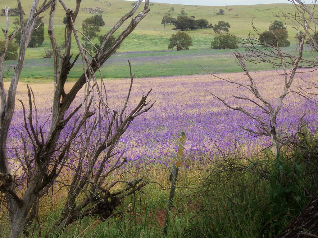
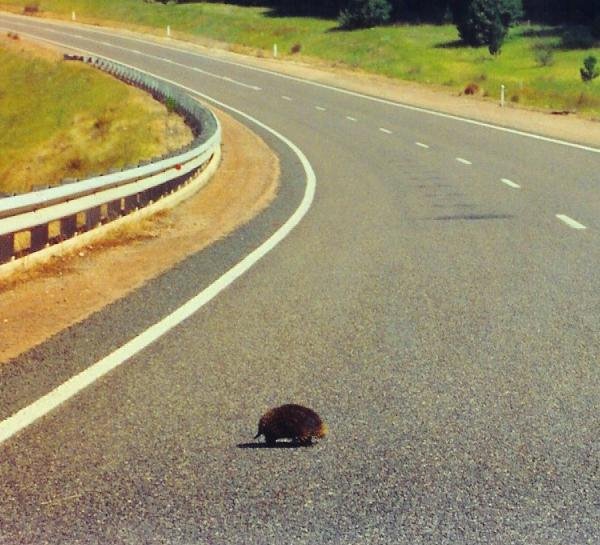
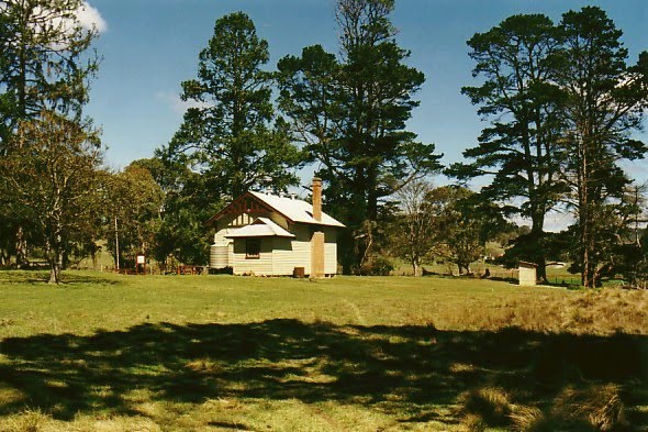
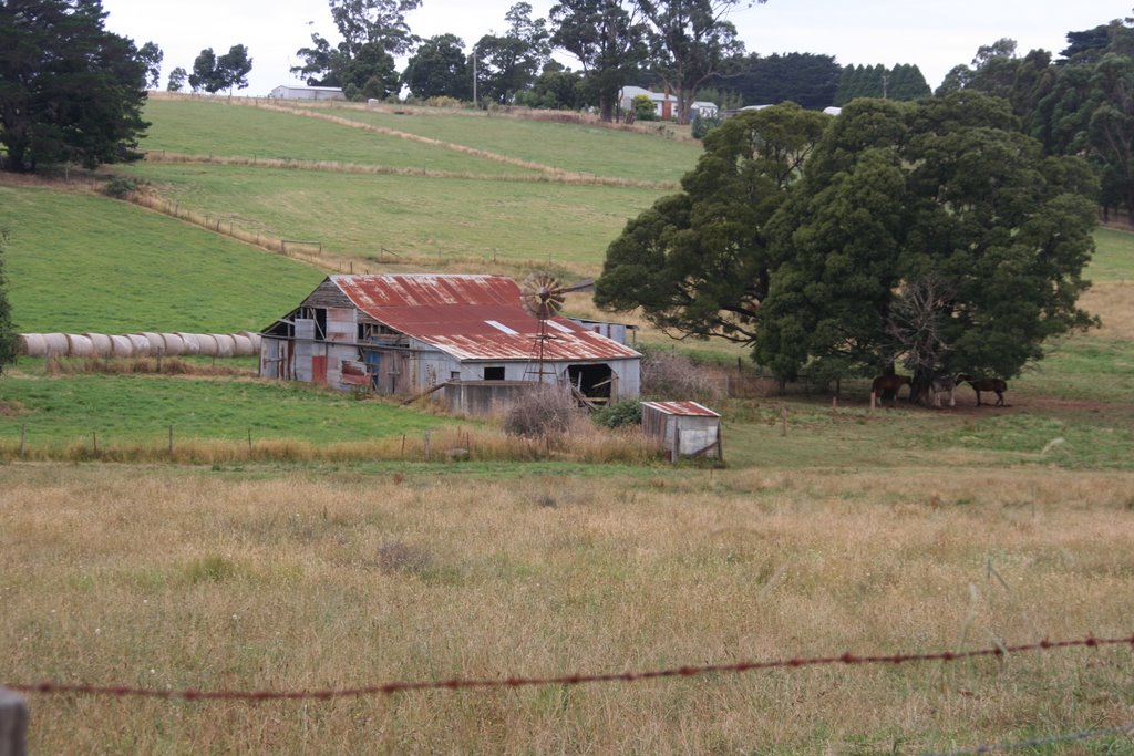
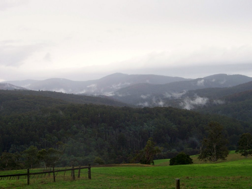
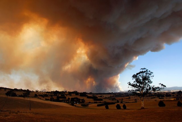
Photos of Buldah
Buldah Weather

Predicción: Few clouds
Temperatura: 15.7°
Humedad: 51%
Hora actual: 12:00 AM
Amanece: 08:33 PM
Anochece: 07:31 AM
Bravington, Australia
Latitude: -38.0766 // Longitude: 145.924
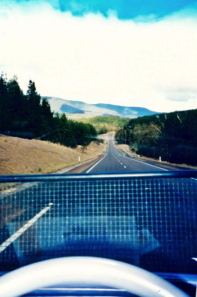
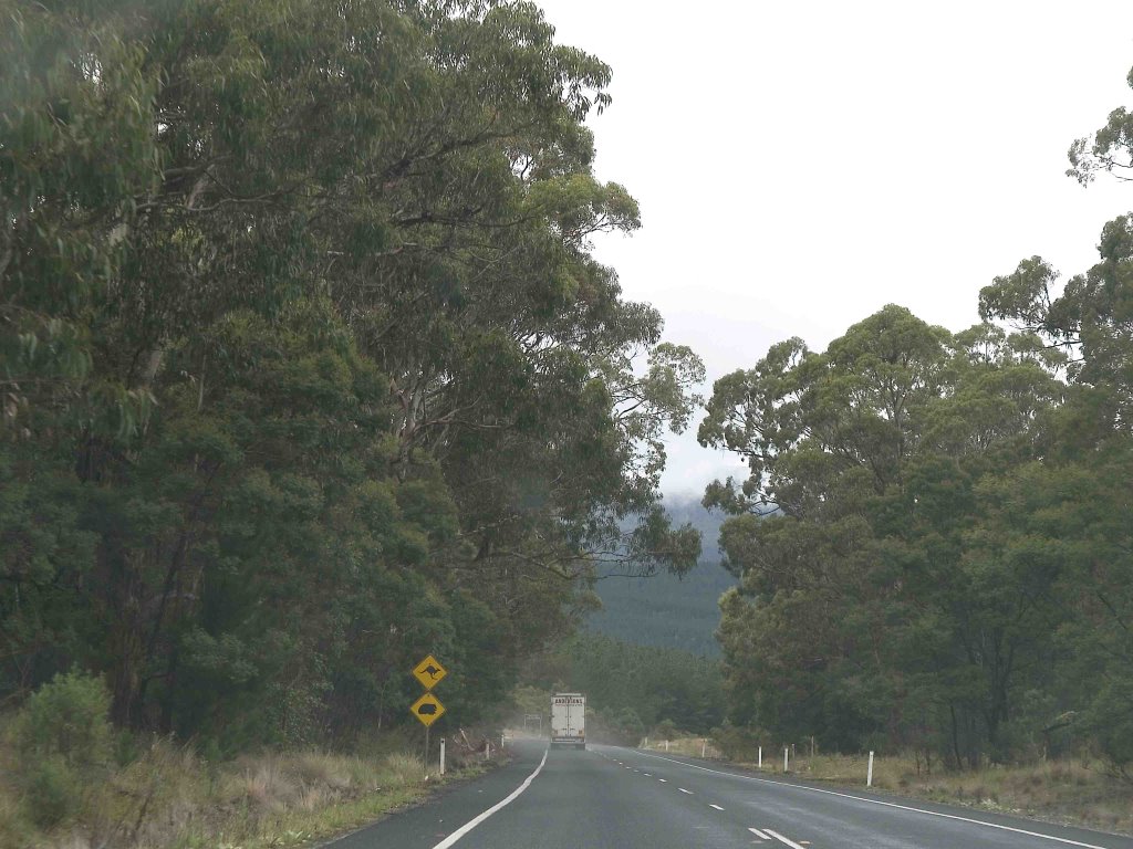
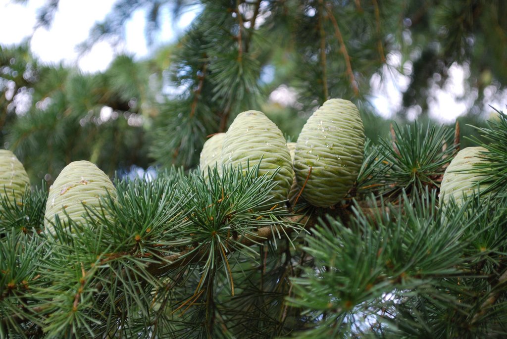
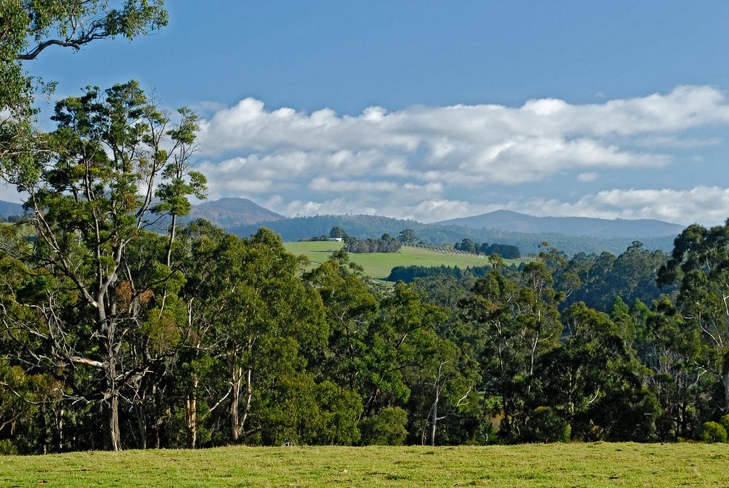
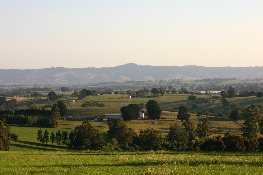
Photos of Bravington
Bravington Weather

Predicción: Broken clouds
Temperatura: 15.0°
Humedad: 83%
Hora actual: 12:20 PM
Amanece: 06:47 AM
Anochece: 05:43 PM


