Distance between  Buchan and
  Maffra West Upper
78.35 mi Straight Distance
97.73 mi Driving Distance
2 hours 14 mins Estimated Driving Time
The straight distance between Buchan (Victoria) and Maffra West Upper (Victoria) is 78.35 mi, but the driving distance is 97.73 mi.
It takes to go from Buchan to Maffra West Upper.
Driving directions from Buchan to Maffra West Upper
Distance in kilometers
Straight distance: 126.07 km. Route distance: 157.25 km
Buchan, Australia
Latitude: -37.4962 // Longitude: 148.174
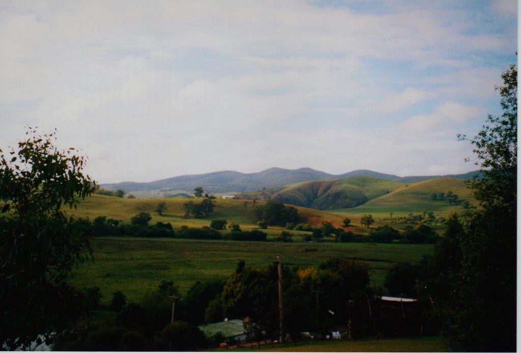
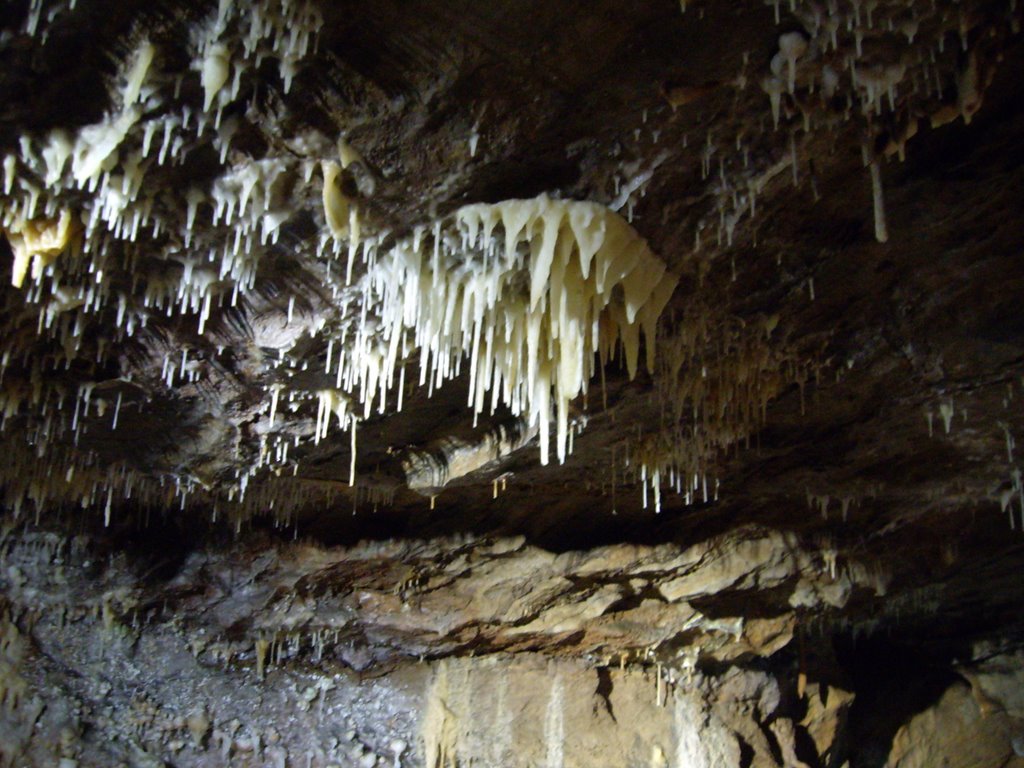
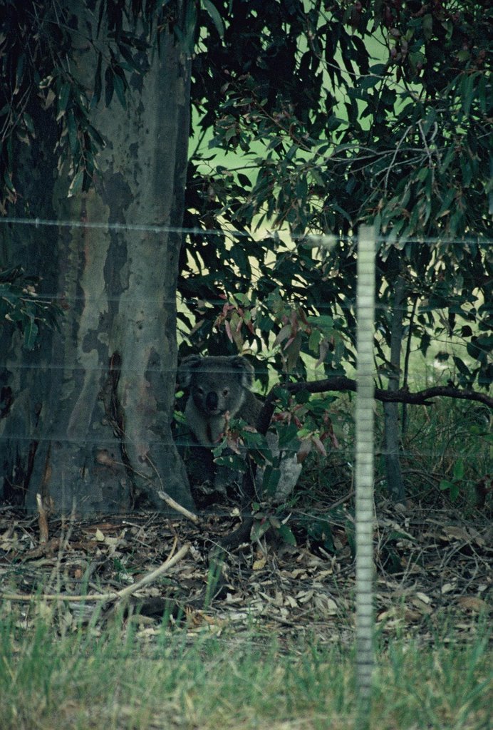
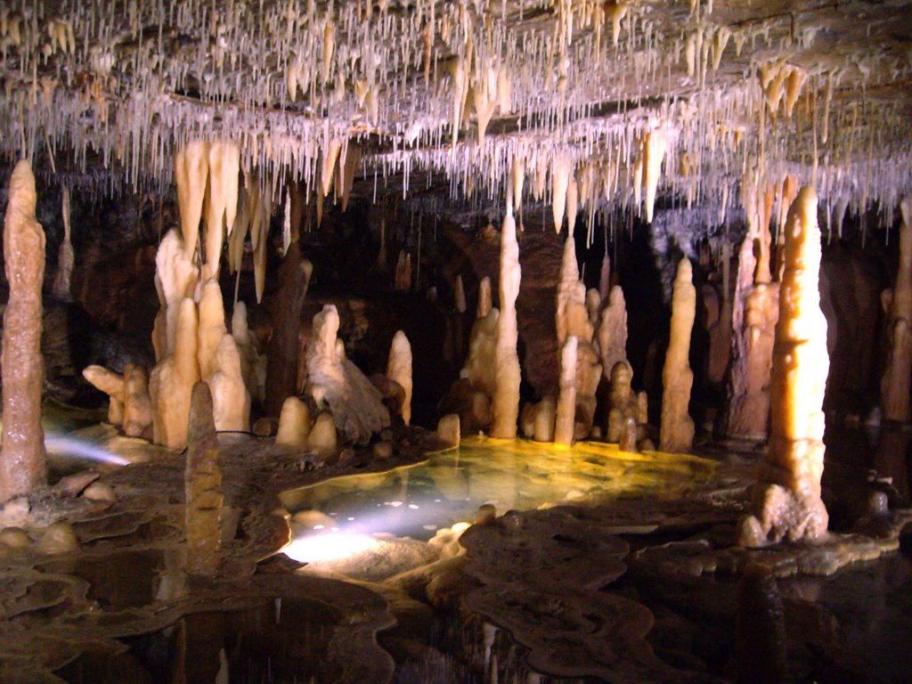
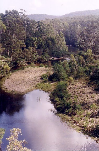
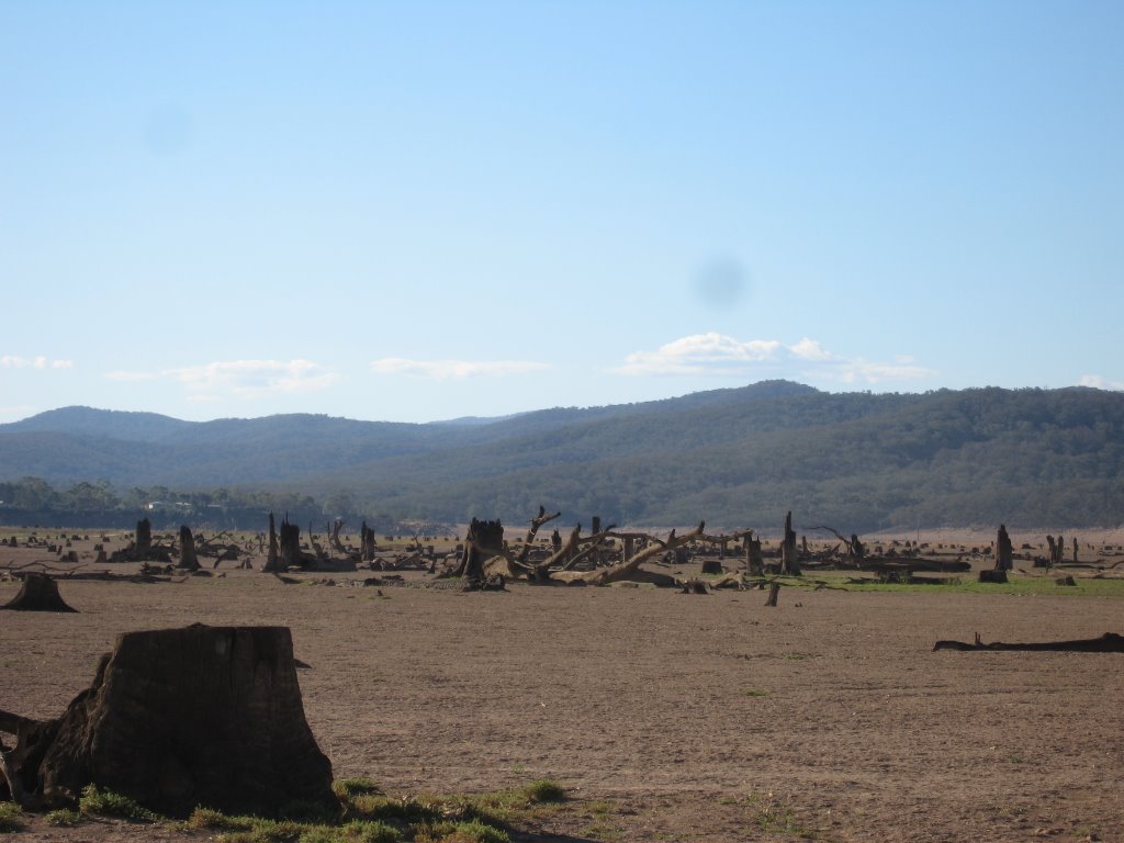
Photos of Buchan
Buchan Weather

Predicción: Clear sky
Temperatura: 17.0°
Humedad: 54%
Hora actual: 12:00 AM
Amanece: 08:37 PM
Anochece: 07:34 AM
Maffra West Upper, Australia
Latitude: -37.8811 // Longitude: 146.826
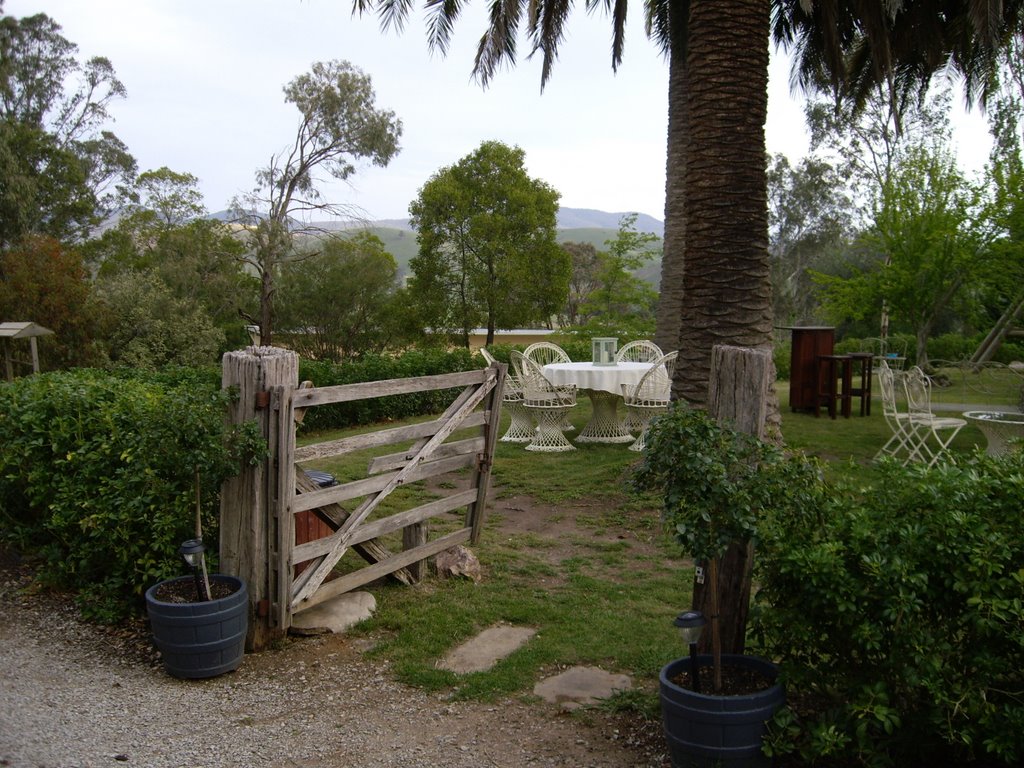
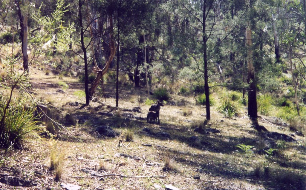
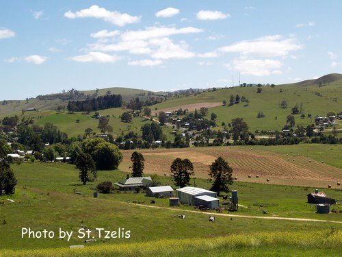
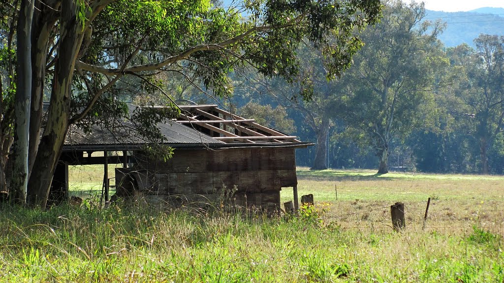
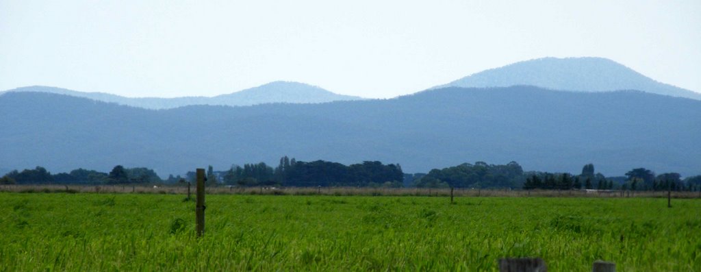
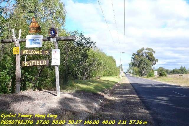
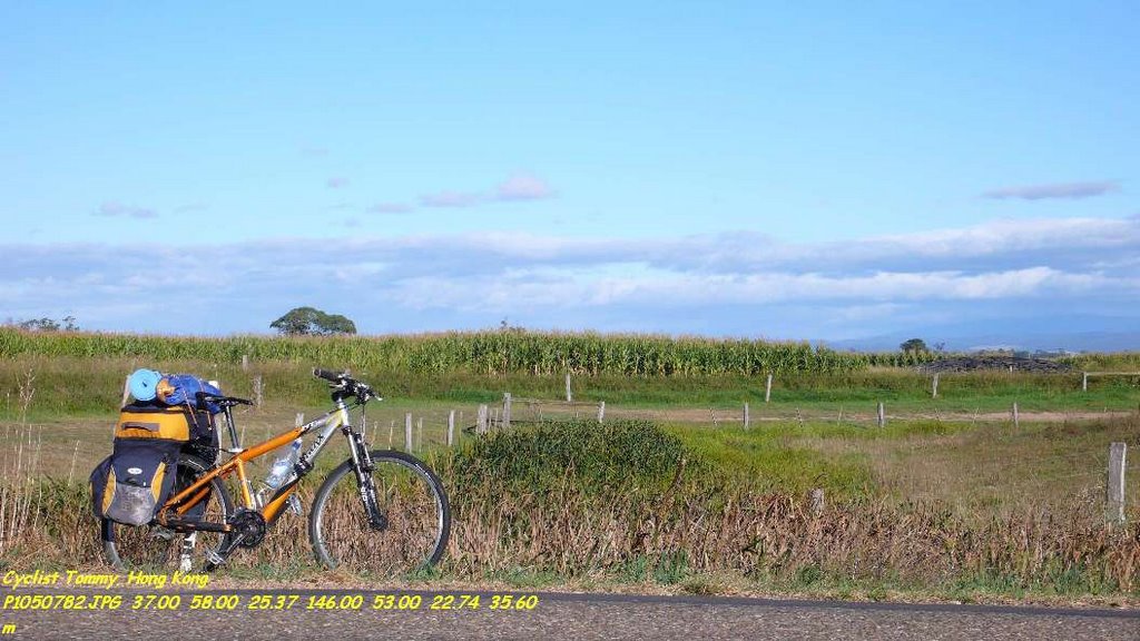
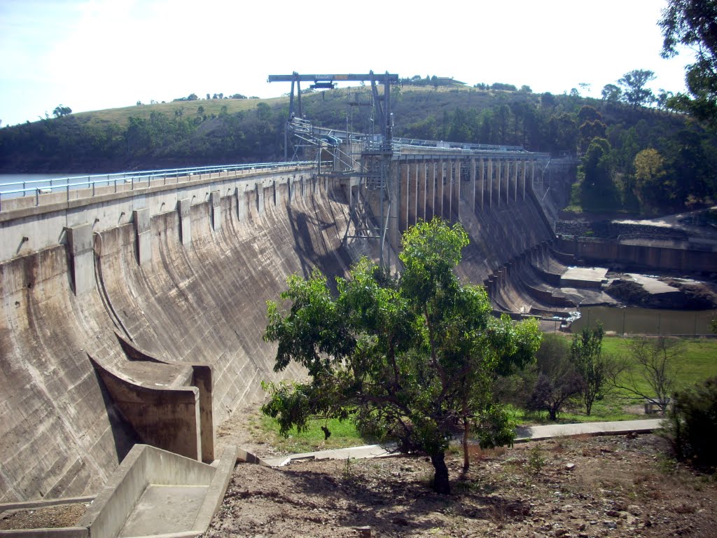
Photos of Maffra West Upper
Maffra West Upper Weather

Predicción: Few clouds
Temperatura: 17.1°
Humedad: 51%
Hora actual: 12:00 AM
Amanece: 08:43 PM
Anochece: 07:39 AM


