Distance between  Brooloo and
  South Kumminin
2,098.23 mi Straight Distance
2,479.21 mi Driving Distance
1 day 15 hours Estimated Driving Time
The straight distance between Brooloo (Queensland) and South Kumminin (Western Australia) is 2,098.23 mi, but the driving distance is 2,479.21 mi.
It takes to go from Brooloo to South Kumminin.
Driving directions from Brooloo to South Kumminin
Distance in kilometers
Straight distance: 3,376.06 km. Route distance: 3,989.05 km
Brooloo, Australia
Latitude: -26.4868 // Longitude: 152.705
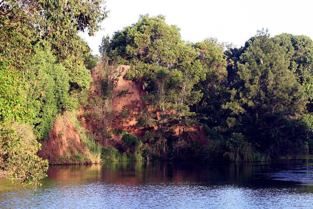
Photos of Brooloo
Brooloo Weather

Predicción: Overcast clouds
Temperatura: 20.6°
Humedad: 93%
Hora actual: 07:18 PM
Amanece: 06:05 AM
Anochece: 05:32 PM
South Kumminin, Australia
Latitude: -32.1974 // Longitude: 118.334
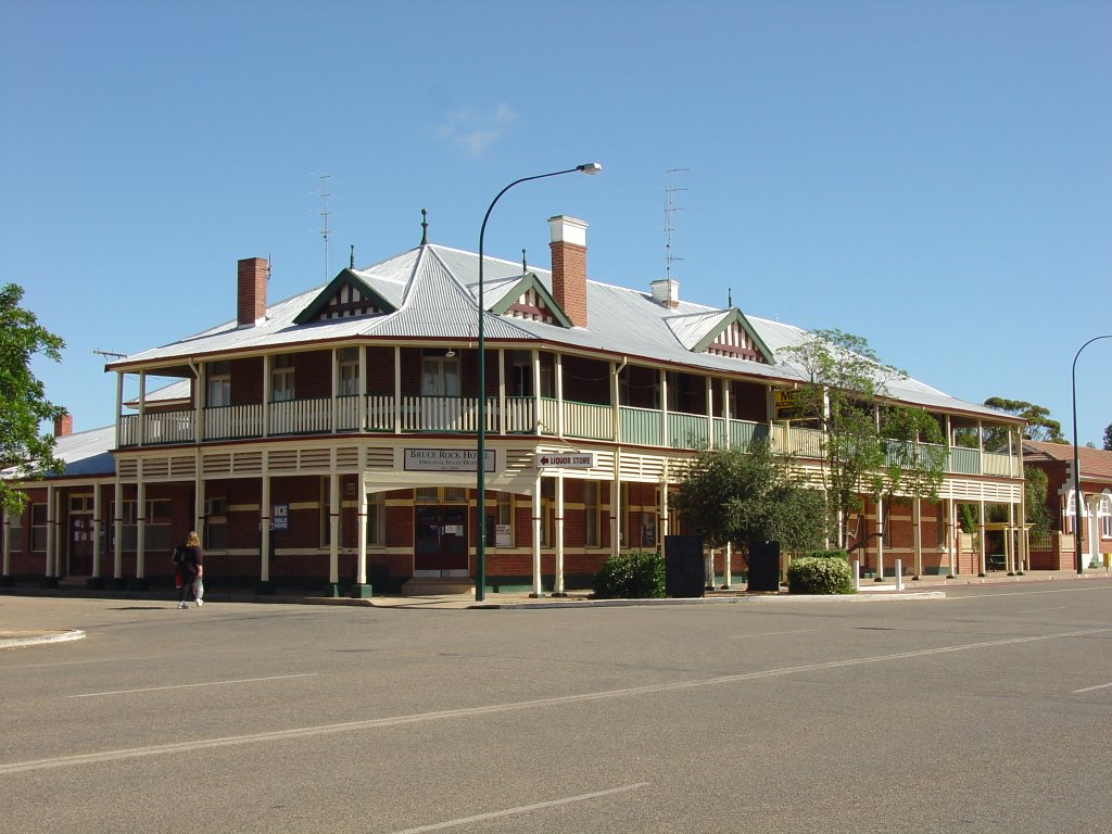
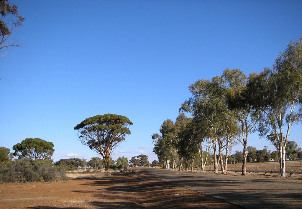
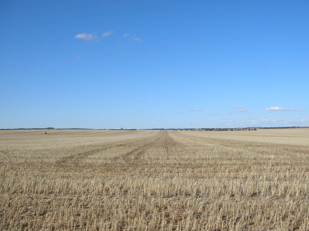
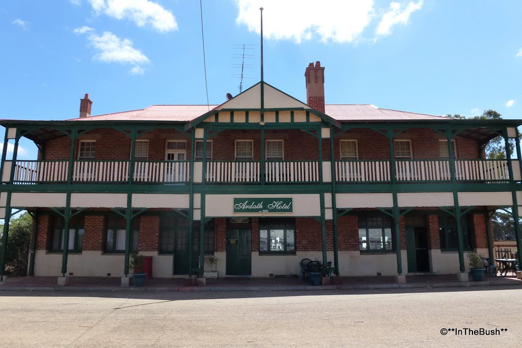
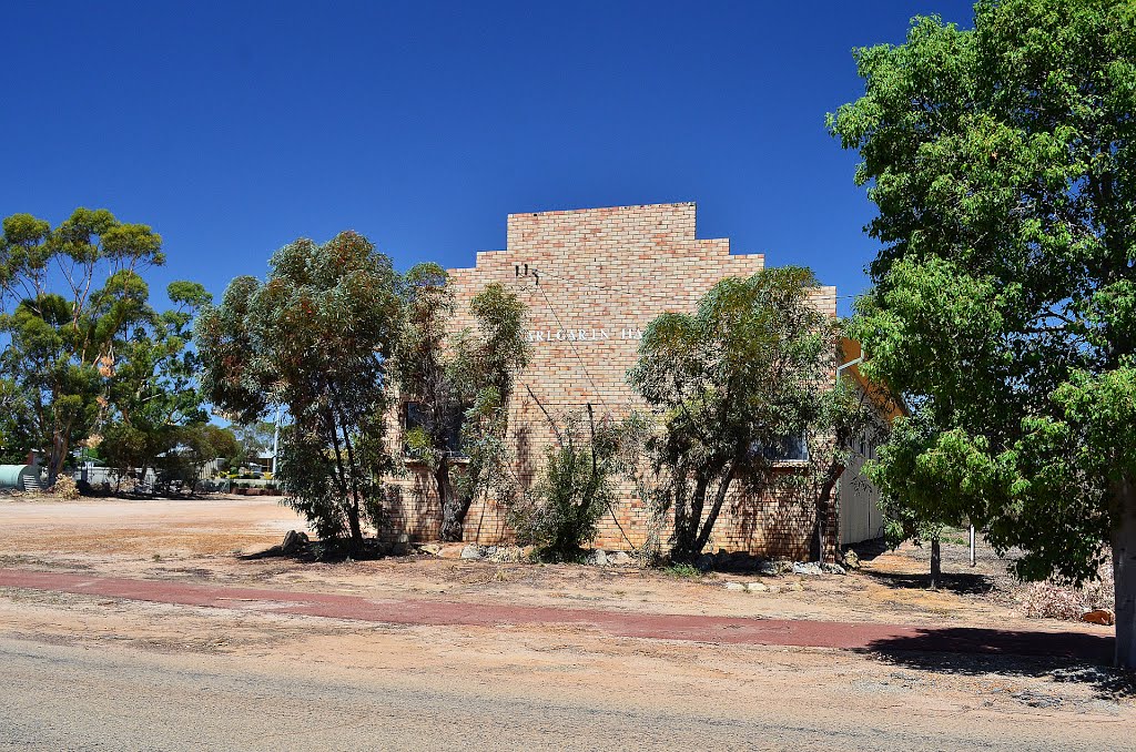
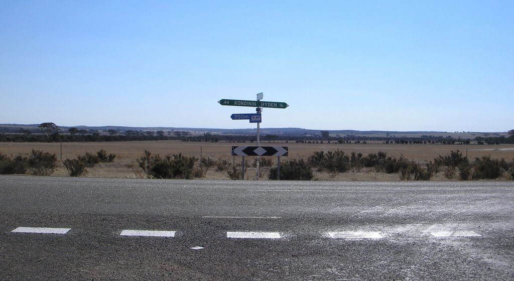
Photos of South Kumminin
South Kumminin Weather

Predicción: Clear sky
Temperatura: 26.4°
Humedad: 29%
Hora actual: 10:00 AM
Amanece: 08:28 AM
Anochece: 07:44 PM




![Imbil Methodist Church, Elizabeth Street, Imbil, 1955. [Photographer: Robert Stehbens] Imbil Methodist Church, Elizabeth Street, Imbil, 1955. [Photographer: Robert Stehbens]](/photos/18619410.jpg)

