
Distance between  Brookville and
  Bete Bolong North
41.64 mi Straight Distance
97.26 mi Driving Distance
2 hours 47 mins Estimated Driving Time
The straight distance between Brookville (Victoria) and Bete Bolong North (Victoria) is 41.64 mi, but the driving distance is 97.26 mi.
It takes to go from Brookville to Bete Bolong North.
Driving directions from Brookville to Bete Bolong North
Distance in kilometers
Straight distance: 67.00 km. Route distance: 156.50 km
Brookville, Australia
Latitude: -37.3221 // Longitude: 147.63
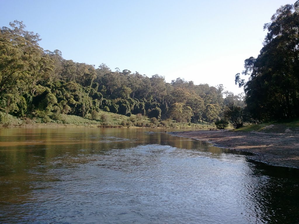
Photos of Brookville


")

Brookville Weather

Predicción: Overcast clouds
Temperatura: 11.0°
Humedad: 79%
Hora actual: 12:00 AM
Amanece: 08:37 PM
Anochece: 07:39 AM
Bete Bolong North, Australia
Latitude: -37.6012 // Longitude: 148.303
Photos of Bete Bolong North


Bete Bolong North Weather

Predicción: Light rain
Temperatura: 15.7°
Humedad: 79%
Hora actual: 12:00 AM
Amanece: 08:35 PM
Anochece: 07:36 AM


