Distance between  Broken Creek and
  Staghorn Flat
83.17 mi Straight Distance
104.83 mi Driving Distance
1 hour 59 mins Estimated Driving Time
The straight distance between Broken Creek (Victoria) and Staghorn Flat (Victoria) is 83.17 mi, but the driving distance is 104.83 mi.
It takes to go from Broken Creek to Staghorn Flat.
Driving directions from Broken Creek to Staghorn Flat
Distance in kilometers
Straight distance: 133.82 km. Route distance: 168.67 km
Broken Creek, Australia
Latitude: -36.0913 // Longitude: 145.446
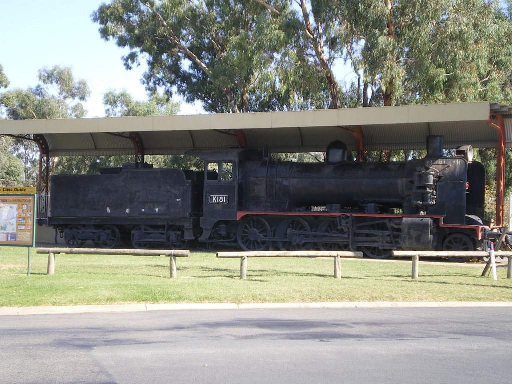
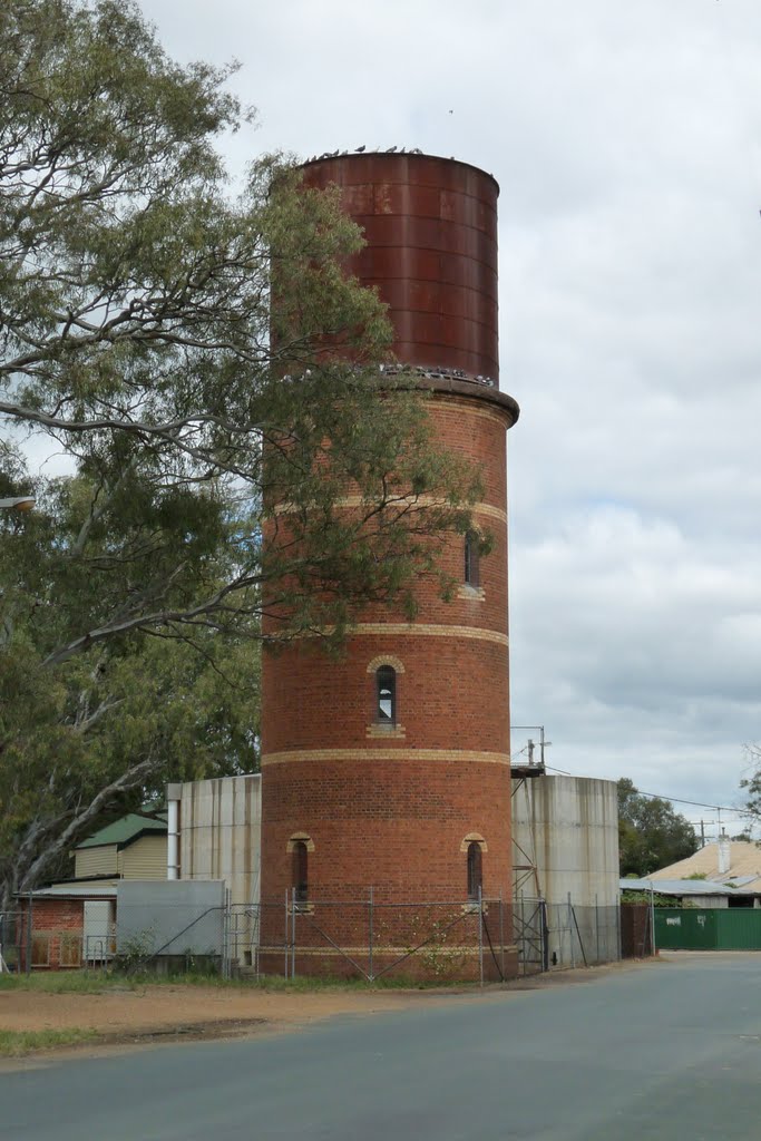
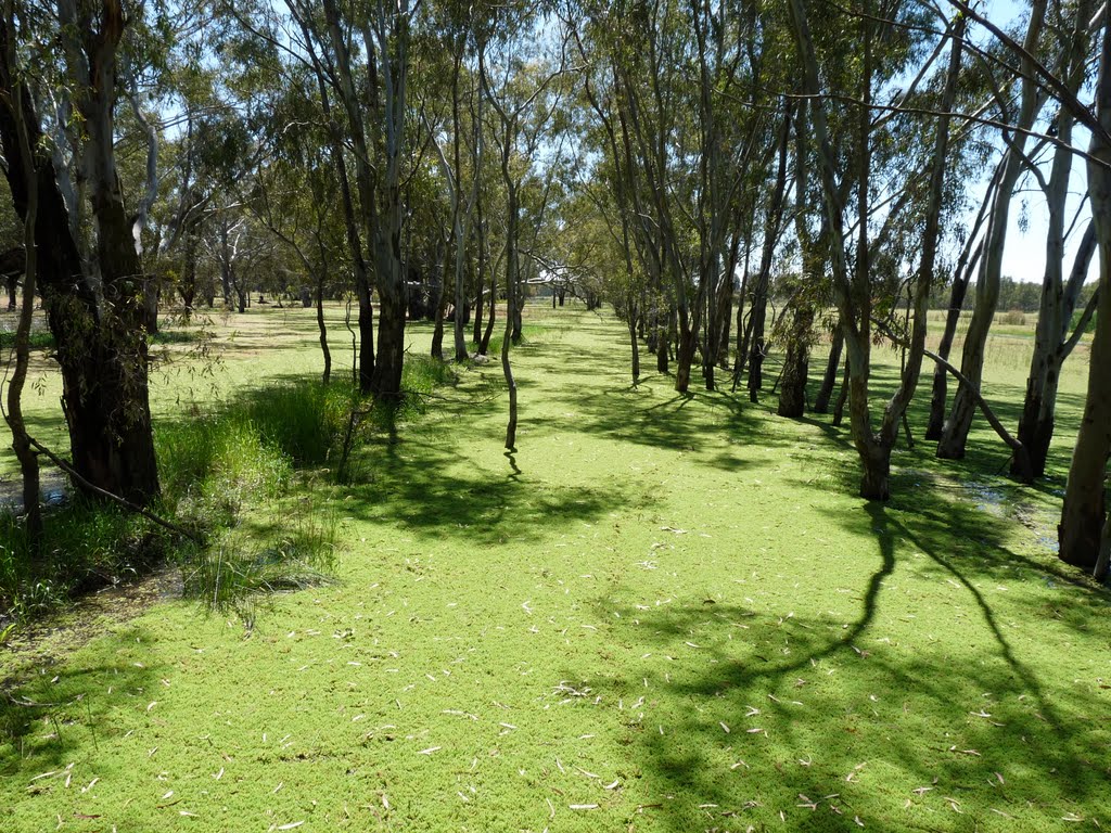
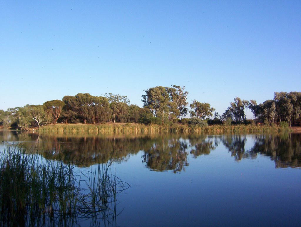
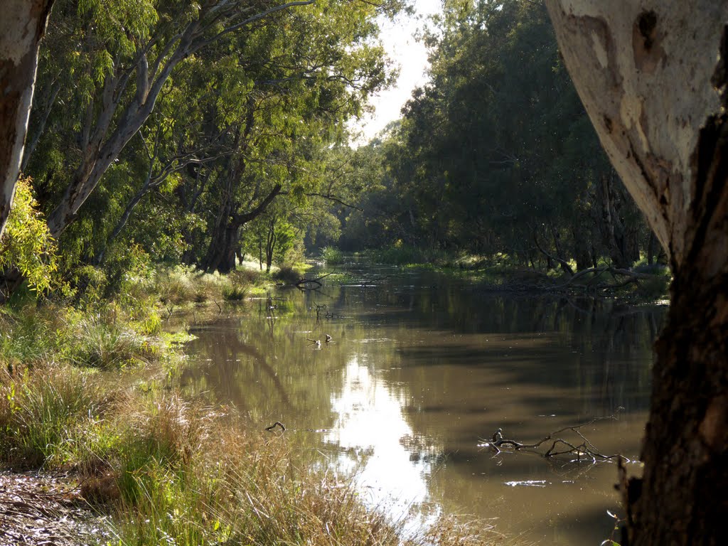
Photos of Broken Creek
Broken Creek Weather

Predicción: Broken clouds
Temperatura: 13.9°
Humedad: 55%
Hora actual: 09:23 PM
Amanece: 06:45 AM
Anochece: 05:49 PM
Staghorn Flat, Australia
Latitude: -36.2511 // Longitude: 146.924
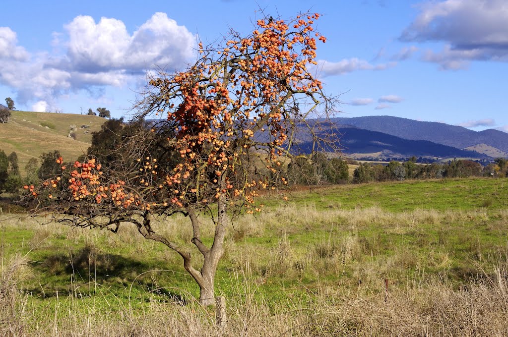
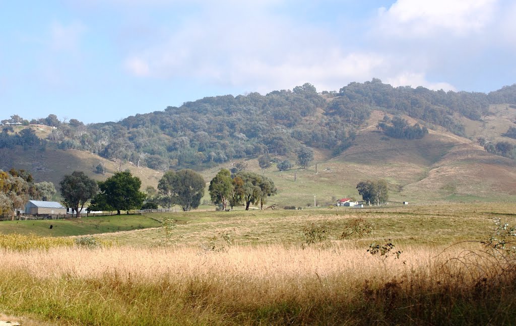
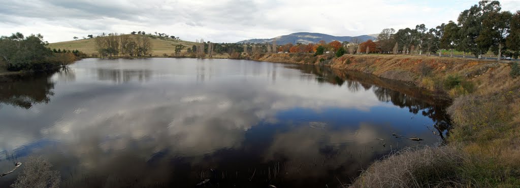
Photos of Staghorn Flat
Staghorn Flat Weather

Predicción: Broken clouds
Temperatura: 11.4°
Humedad: 64%
Hora actual: 09:23 PM
Amanece: 06:40 AM
Anochece: 05:43 PM


