Distance between  Brewster and
  Burkes Bridge
122.27 mi Straight Distance
162.78 mi Driving Distance
2 hours 59 mins Estimated Driving Time
The straight distance between Brewster (Victoria) and Burkes Bridge (Victoria) is 122.27 mi, but the driving distance is 162.78 mi.
It takes to go from Brewster to Burkes Bridge.
Driving directions from Brewster to Burkes Bridge
Distance in kilometers
Straight distance: 196.73 km. Route distance: 261.91 km
Brewster, Australia
Latitude: -37.4849 // Longitude: 143.528
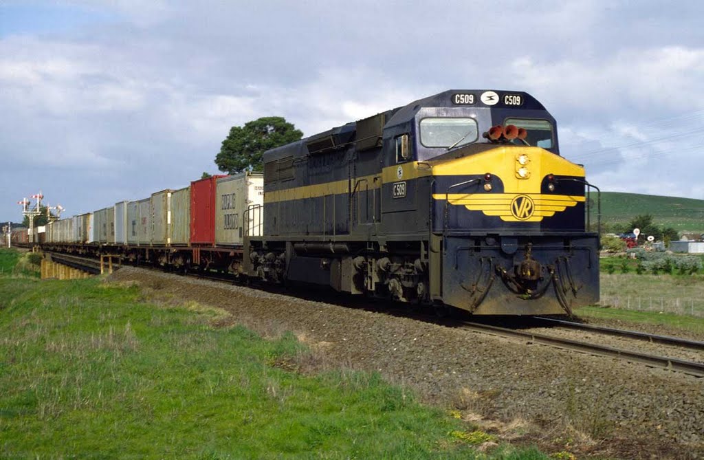
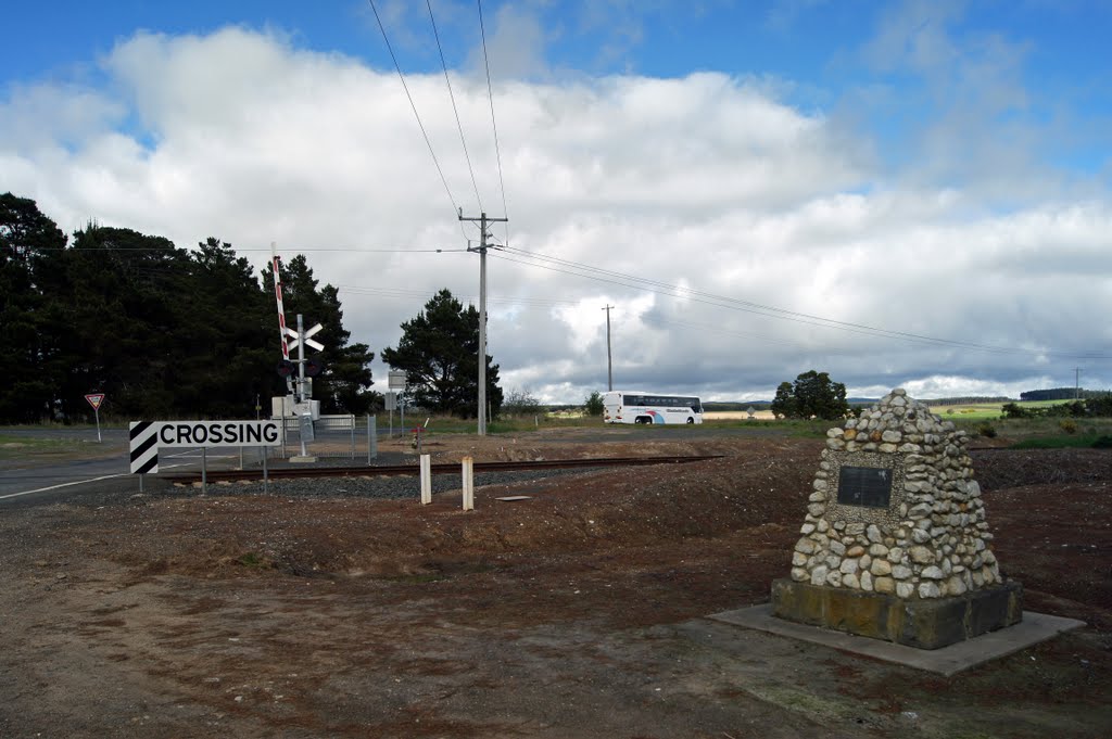
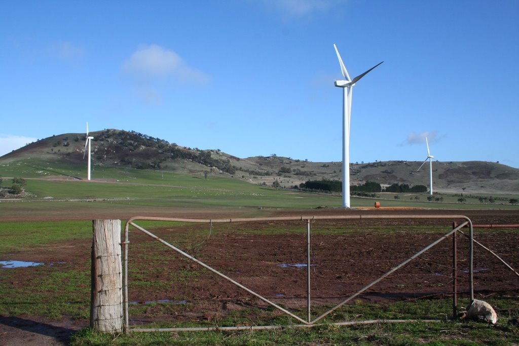
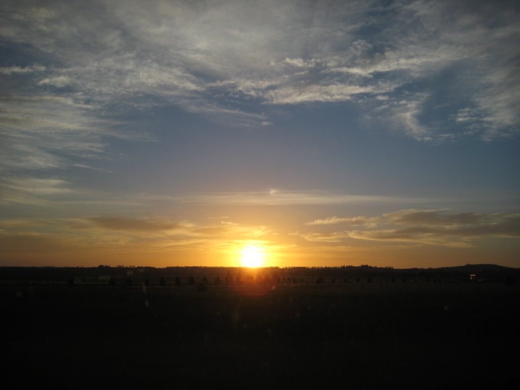
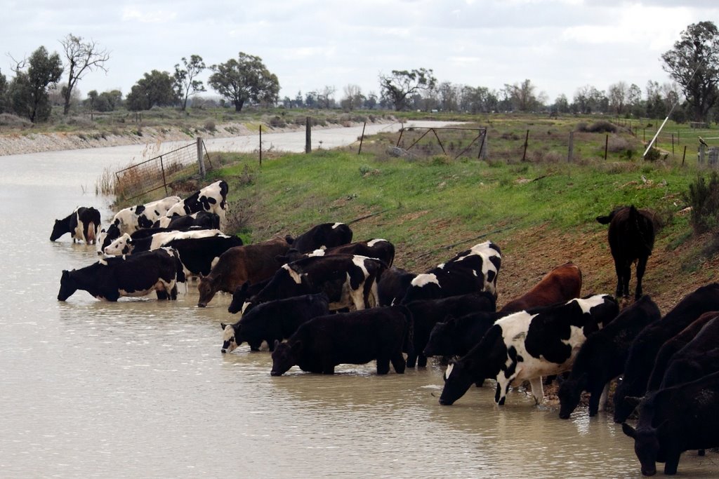
Photos of Brewster
Brewster Weather

Predicción: Overcast clouds
Temperatura: 14.2°
Humedad: 71%
Hora actual: 12:00 AM
Amanece: 08:53 PM
Anochece: 07:57 AM
Burkes Bridge, Australia
Latitude: -35.8382 // Longitude: 144.336
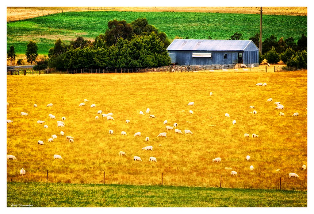
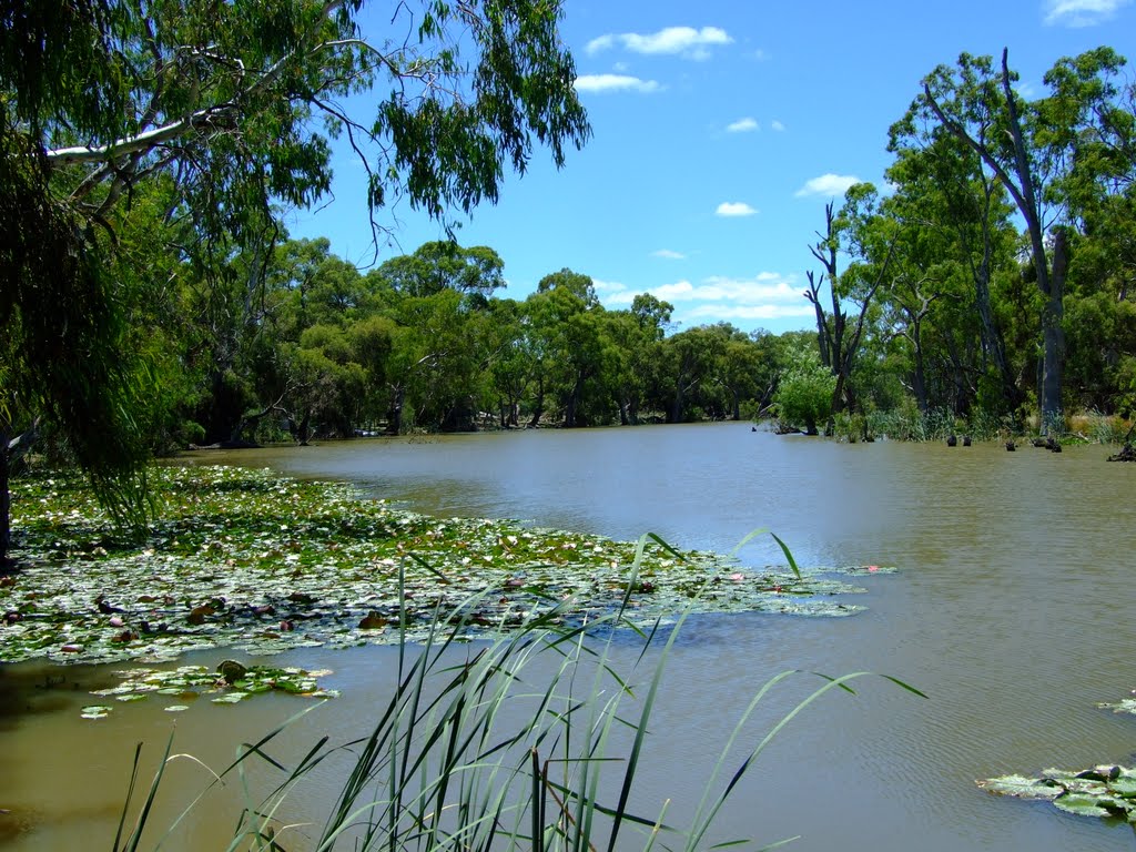
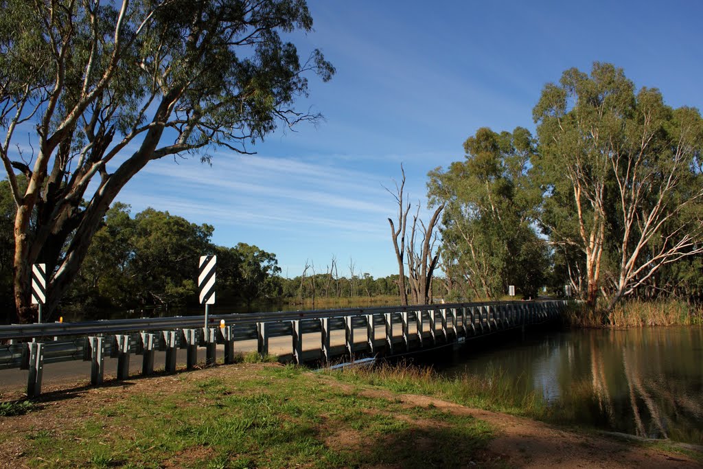
Photos of Burkes Bridge
Burkes Bridge Weather

Predicción: Overcast clouds
Temperatura: 21.2°
Humedad: 41%
Hora actual: 04:43 PM
Amanece: 06:48 AM
Anochece: 05:56 PM


