Distance between  Breadalbane and
  Kaarimba
253.99 mi Straight Distance
321.79 mi Driving Distance
5 hours 13 mins Estimated Driving Time
The straight distance between Breadalbane (New South Wales) and Kaarimba (Victoria) is 253.99 mi, but the driving distance is 321.79 mi.
It takes to go from Breadalbane to Kaarimba.
Driving directions from Breadalbane to Kaarimba
Distance in kilometers
Straight distance: 408.67 km. Route distance: 517.76 km
Breadalbane, Australia
Latitude: -34.7888 // Longitude: 149.489
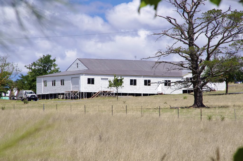
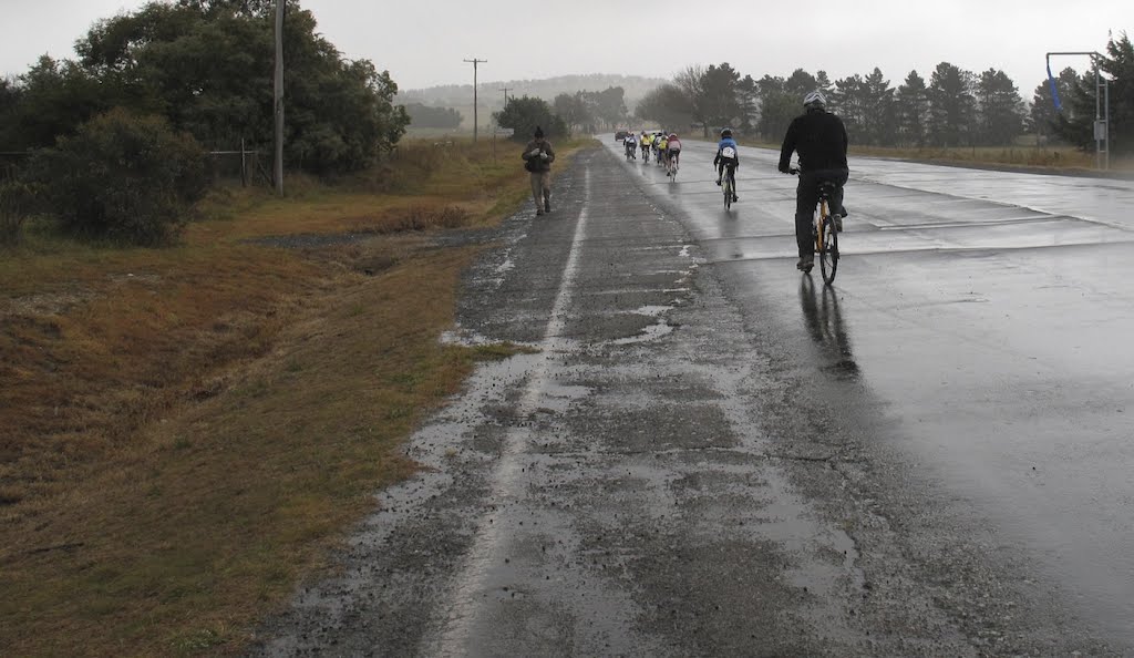
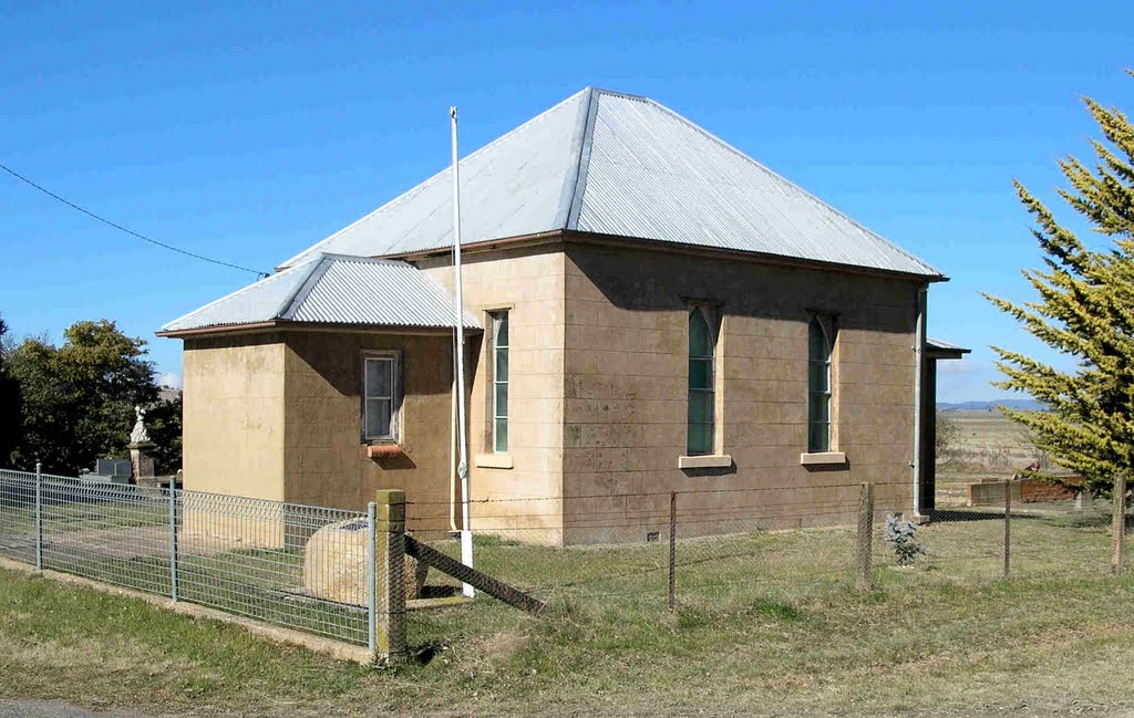
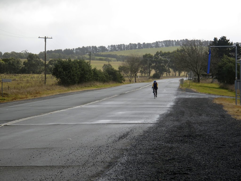
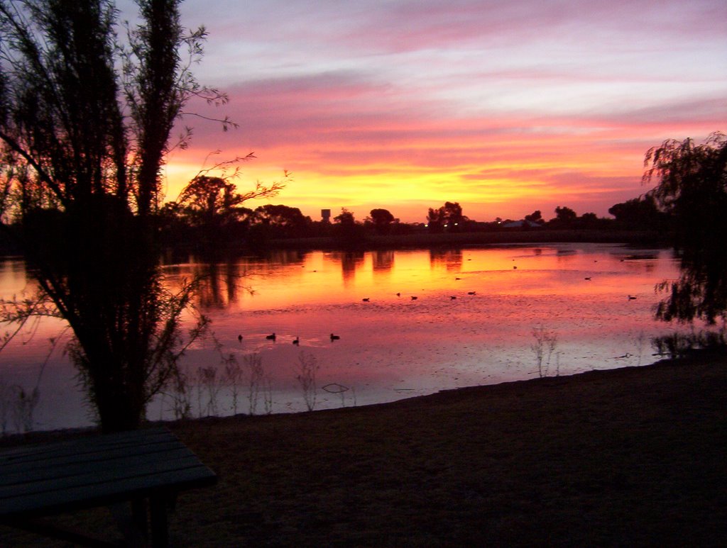
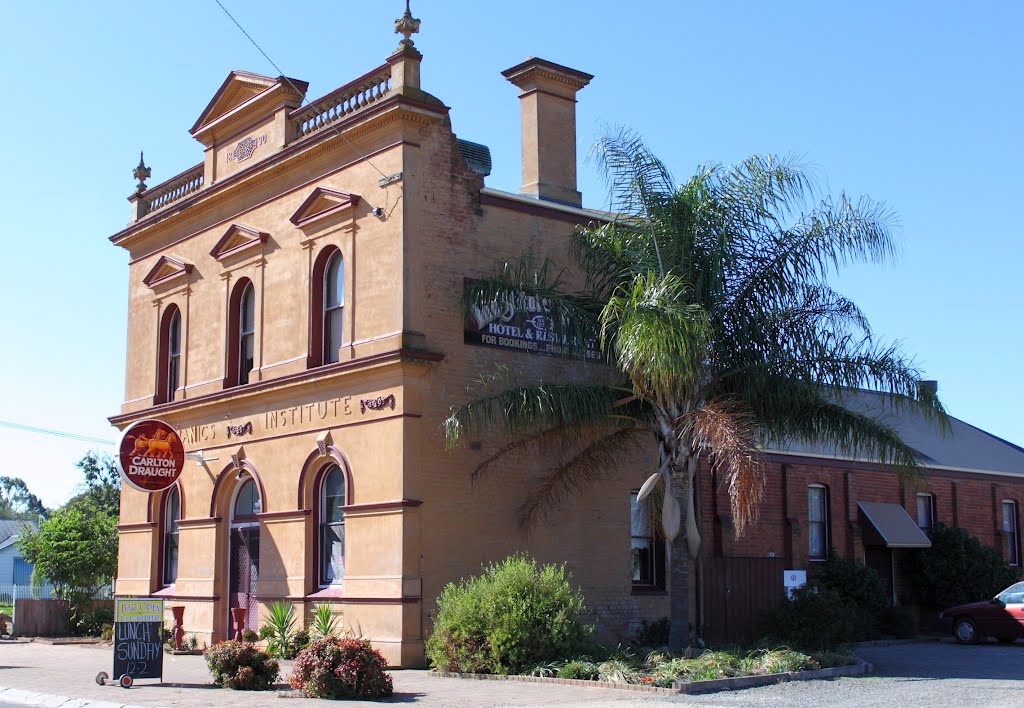
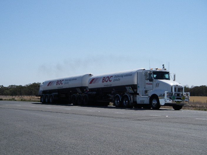
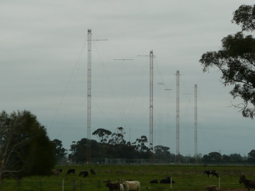
Photos of Breadalbane
Breadalbane Weather

Predicción: Clear sky
Temperatura: 14.2°
Humedad: 48%
Hora actual: 12:00 AM
Amanece: 08:28 PM
Anochece: 07:34 AM
Kaarimba, Australia
Latitude: -36.1486 // Longitude: 145.295
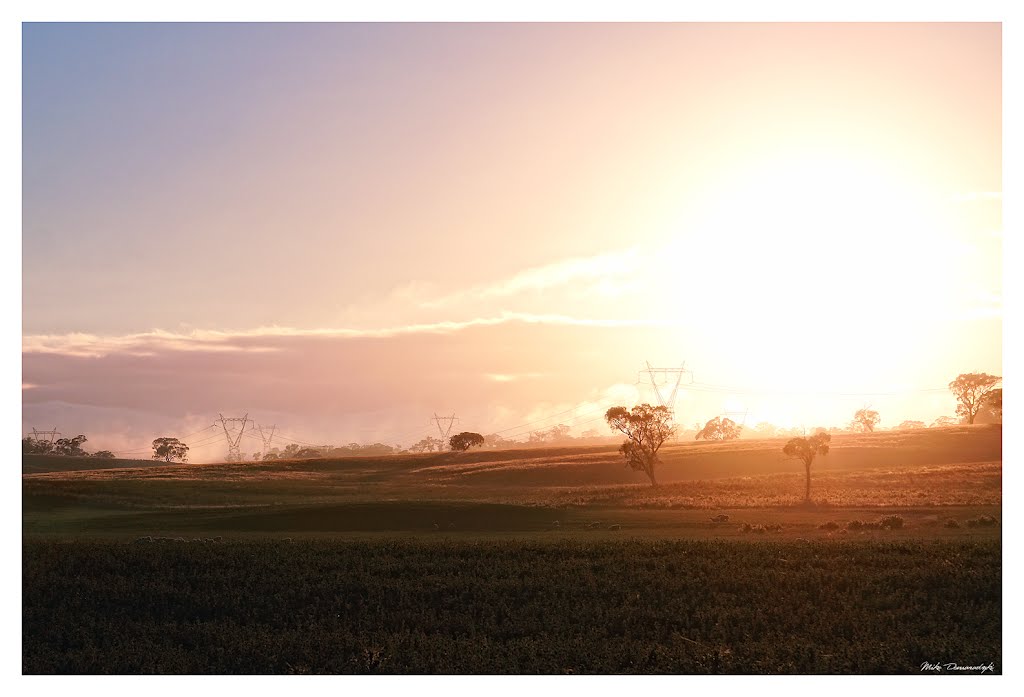
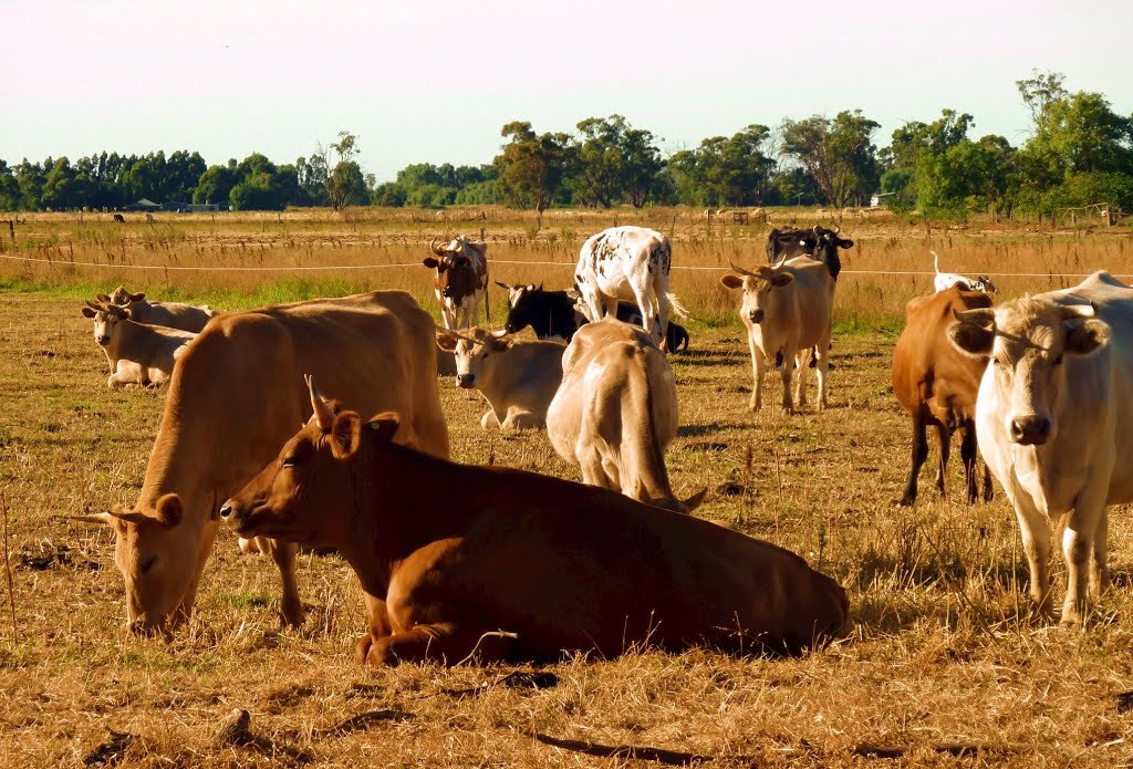
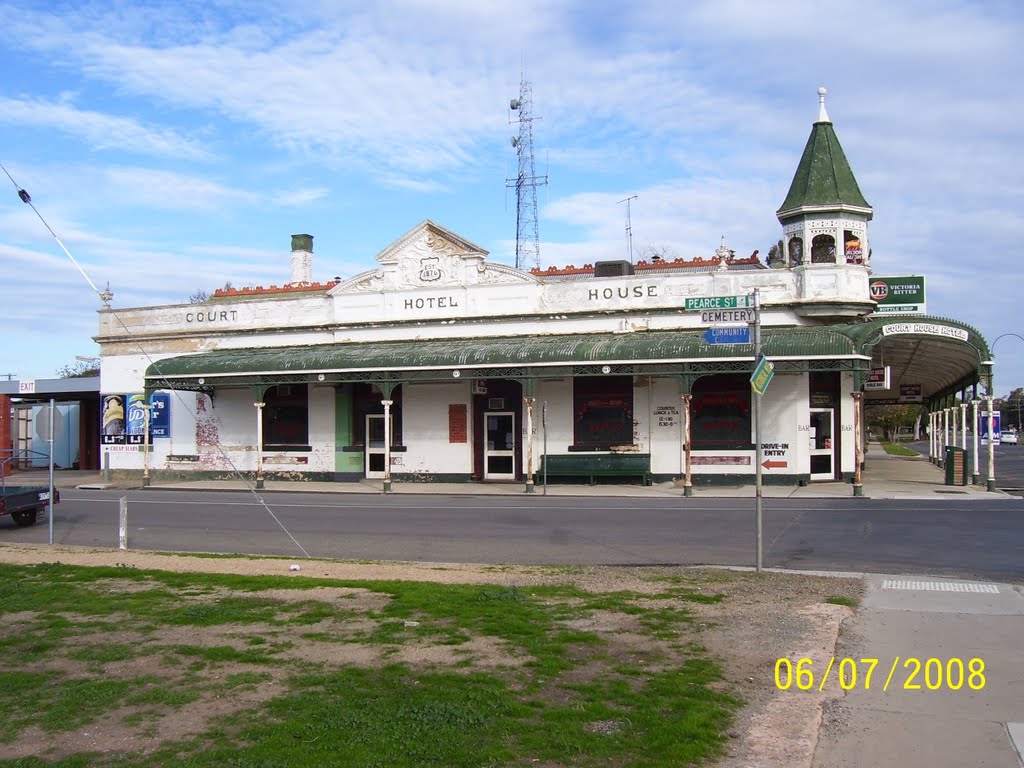
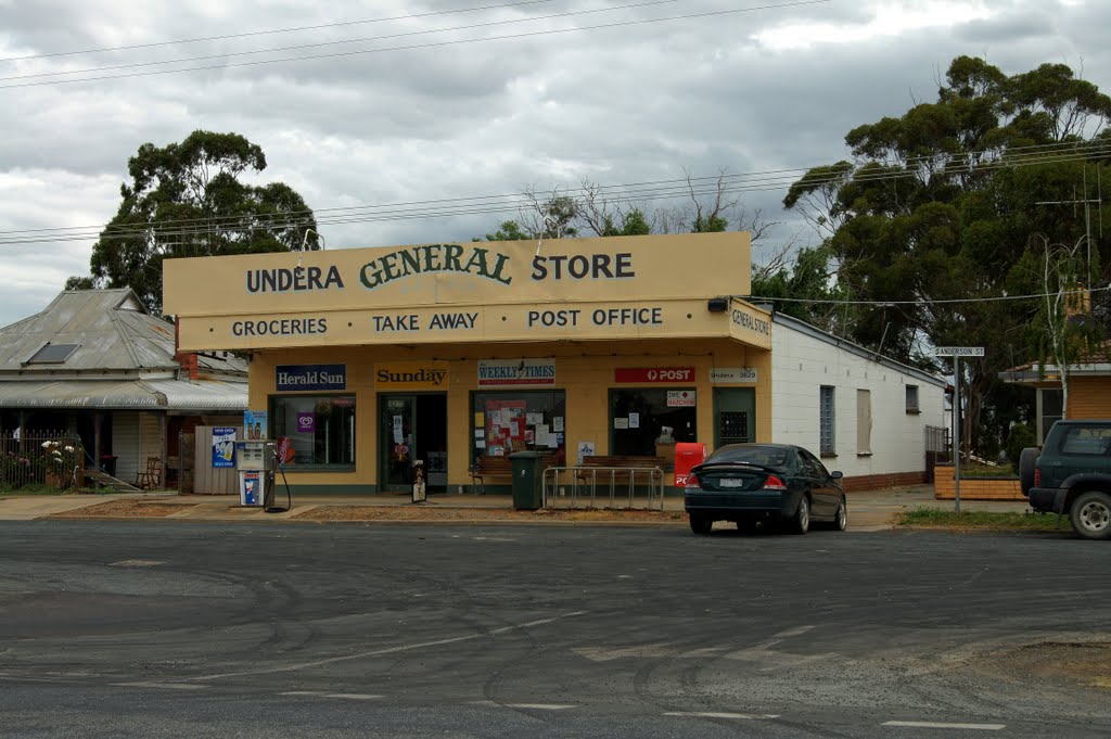
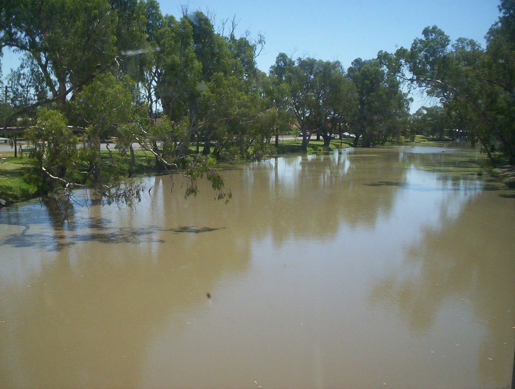
Photos of Kaarimba
Kaarimba Weather

Predicción: Clear sky
Temperatura: 17.7°
Humedad: 47%
Hora actual: 12:00 AM
Amanece: 08:46 PM
Anochece: 07:49 AM


