Distance between  Brayton and
  Hampton
518.94 mi Straight Distance
650.97 mi Driving Distance
11 hours 20 mins Estimated Driving Time
The straight distance between Brayton (New South Wales) and Hampton (Queensland) is 518.94 mi, but the driving distance is 650.97 mi.
It takes to go from Brayton to Hampton.
Driving directions from Brayton to Hampton
Distance in kilometers
Straight distance: 834.97 km. Route distance: 1,047.42 km
Brayton, Australia
Latitude: -34.6477 // Longitude: 149.964
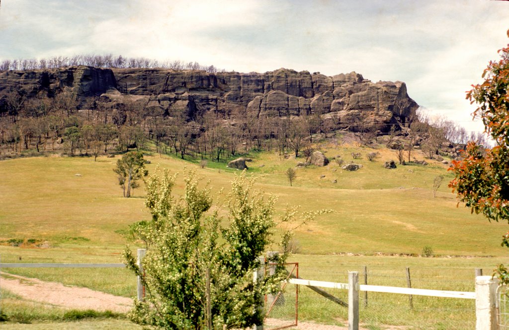
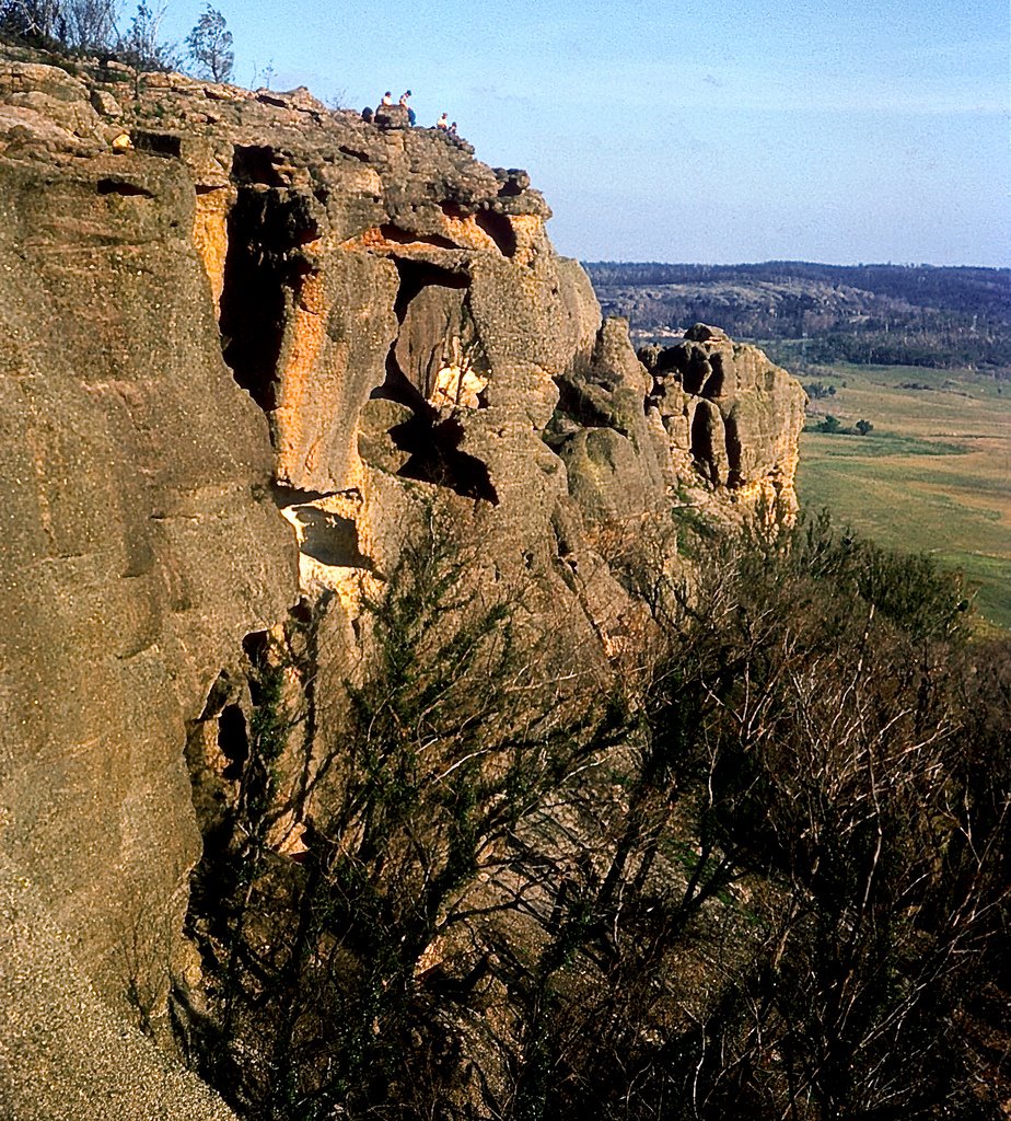
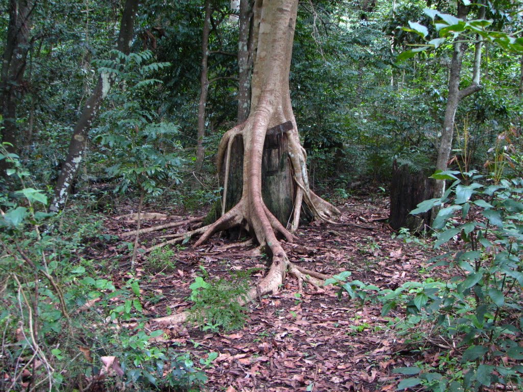
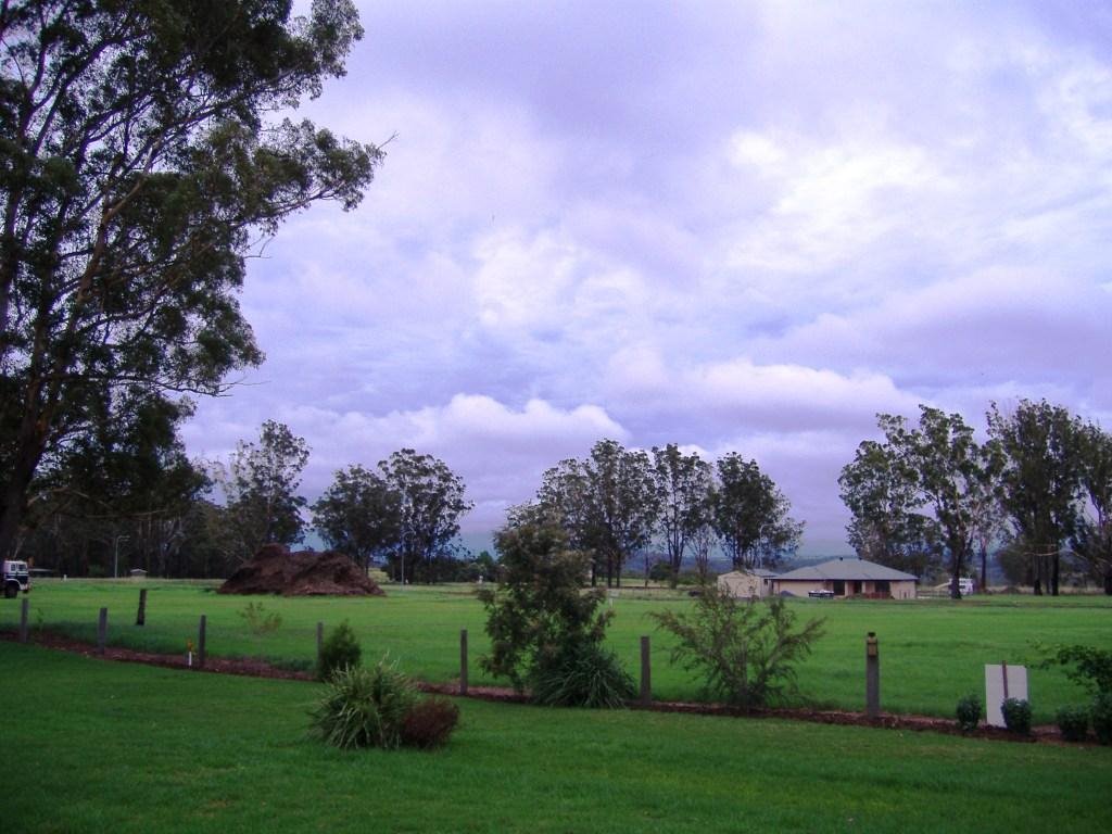
Photos of Brayton
Brayton Weather

Predicción: Few clouds
Temperatura: 15.6°
Humedad: 43%
Hora actual: 11:56 AM
Amanece: 06:26 AM
Anochece: 05:32 PM
Hampton, Australia
Latitude: -27.3563 // Longitude: 152.069
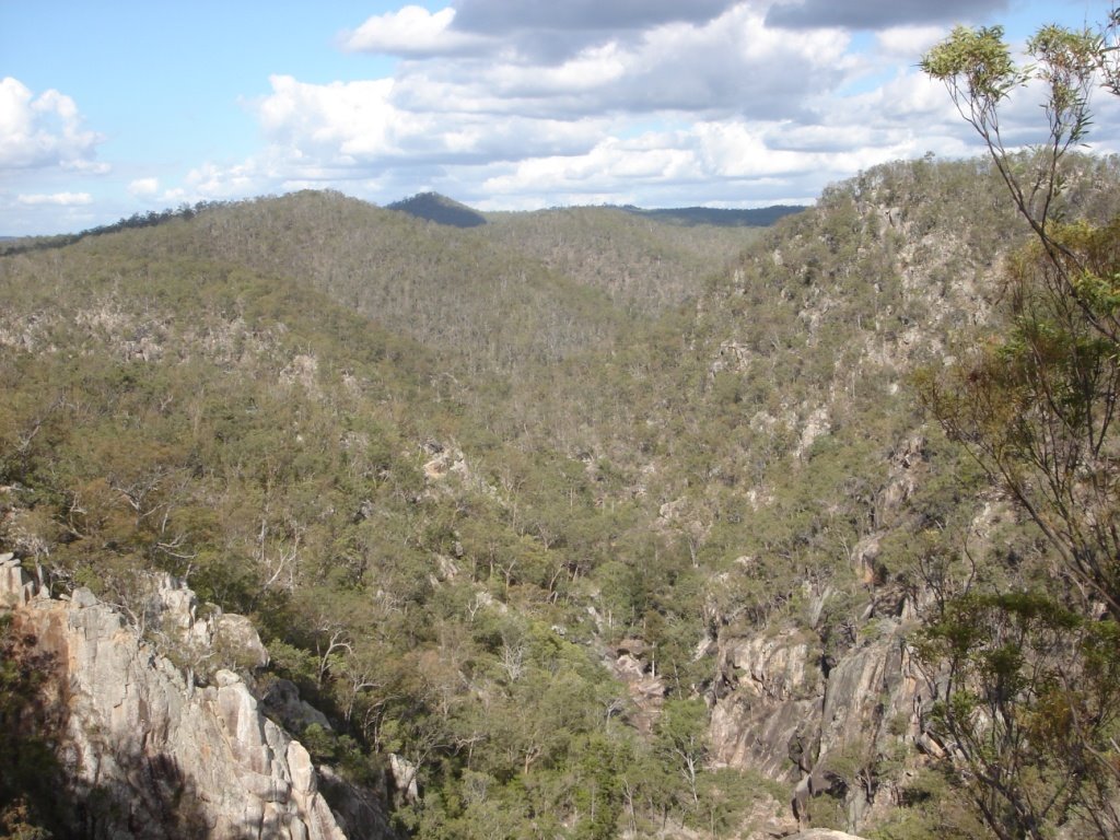
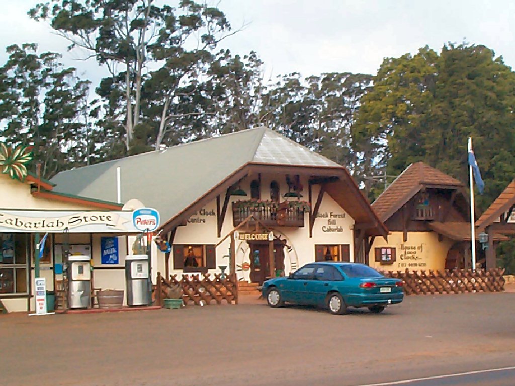
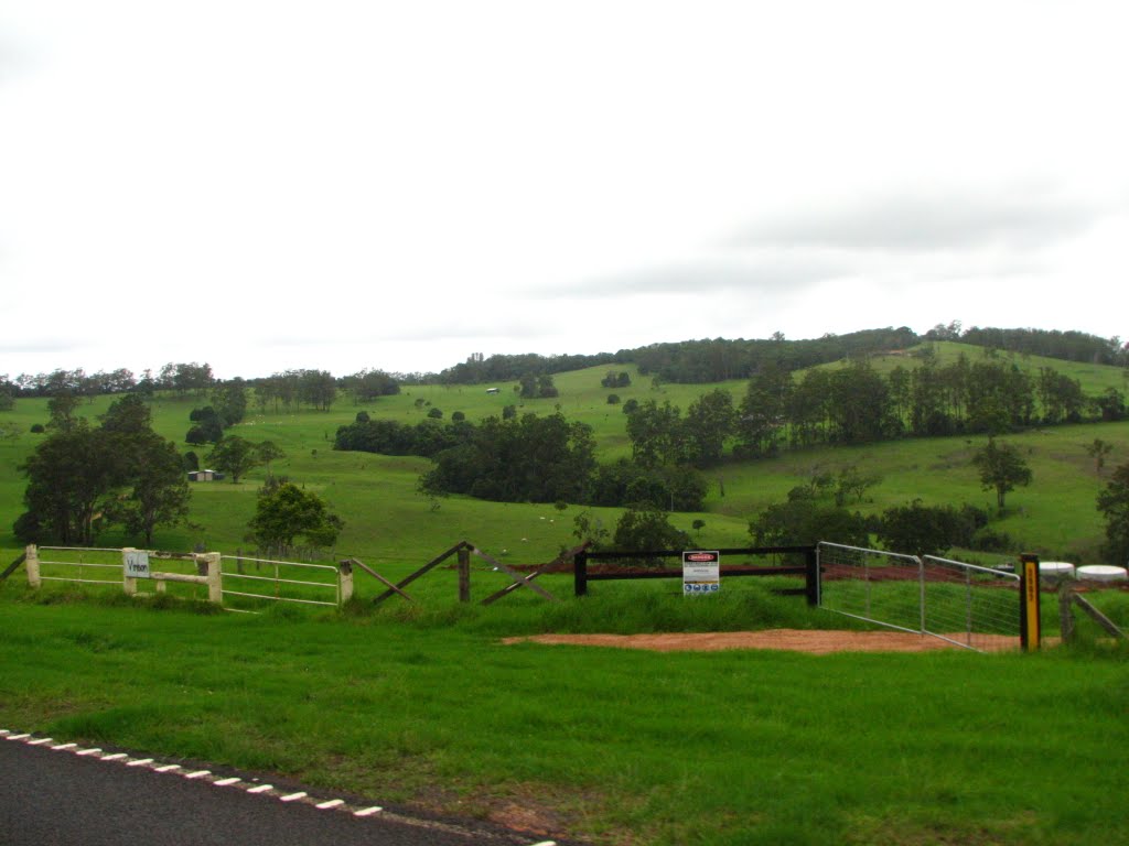
Photos of Hampton
Hampton Weather

Predicción: Overcast clouds
Temperatura: 21.3°
Humedad: 57%
Hora actual: 11:56 AM
Amanece: 06:10 AM
Anochece: 05:31 PM


