Distance between  Brandy Creek and
  Sunset Strip
44.52 mi Straight Distance
70.91 mi Driving Distance
1 hour 19 mins Estimated Driving Time
The straight distance between Brandy Creek (Victoria) and Sunset Strip (Victoria) is 44.52 mi, but the driving distance is 70.91 mi.
It takes 1 hour 14 mins to go from Brandy Creek to Sunset Strip.
Driving directions from Brandy Creek to Sunset Strip
Distance in kilometers
Straight distance: 71.63 km. Route distance: 114.09 km
Brandy Creek, Australia
Latitude: -38.1007 // Longitude: 145.914
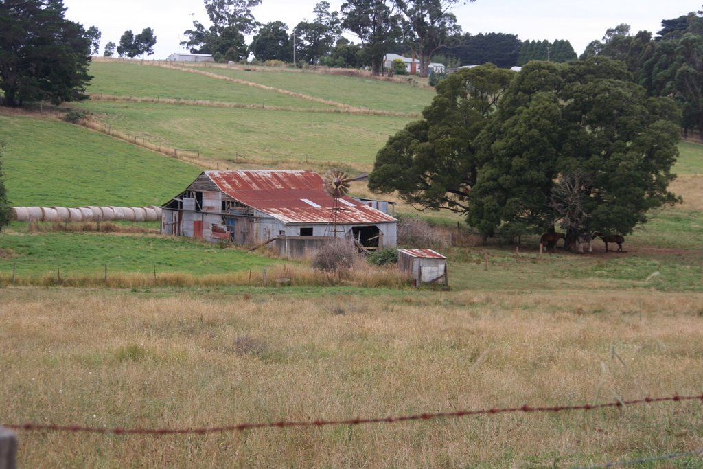
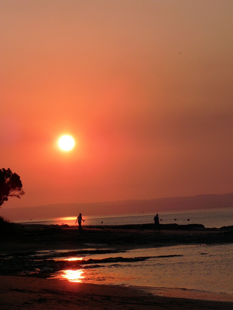
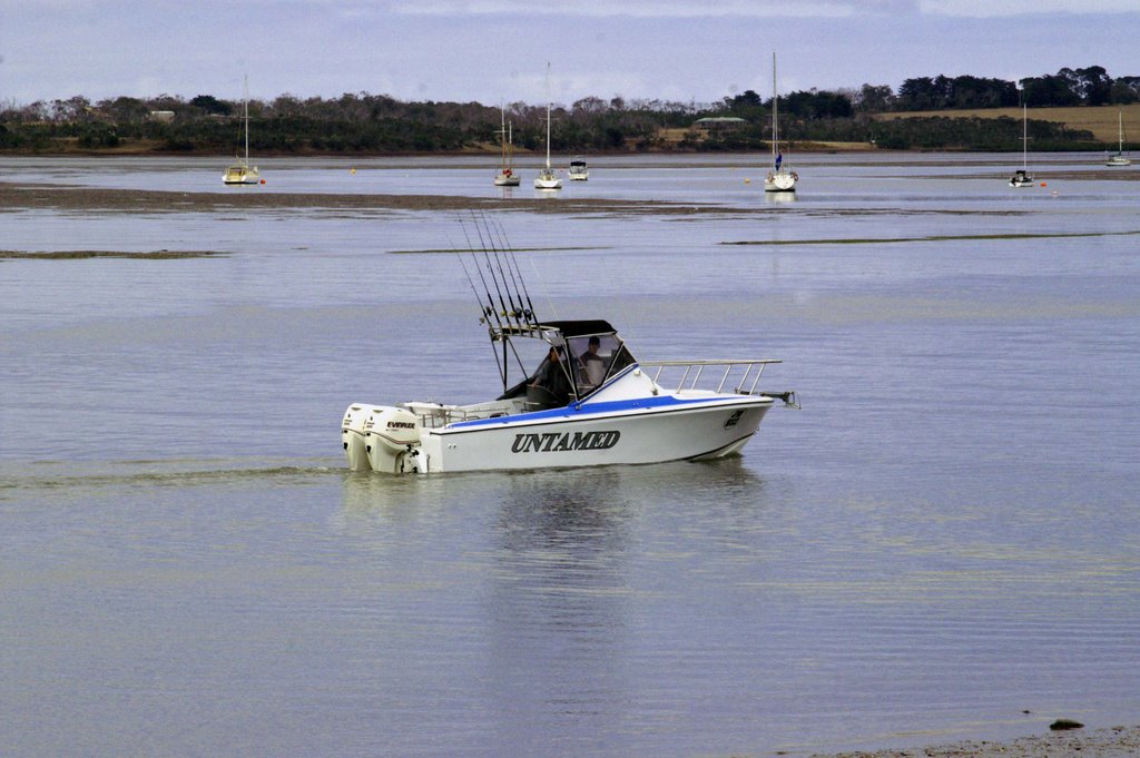
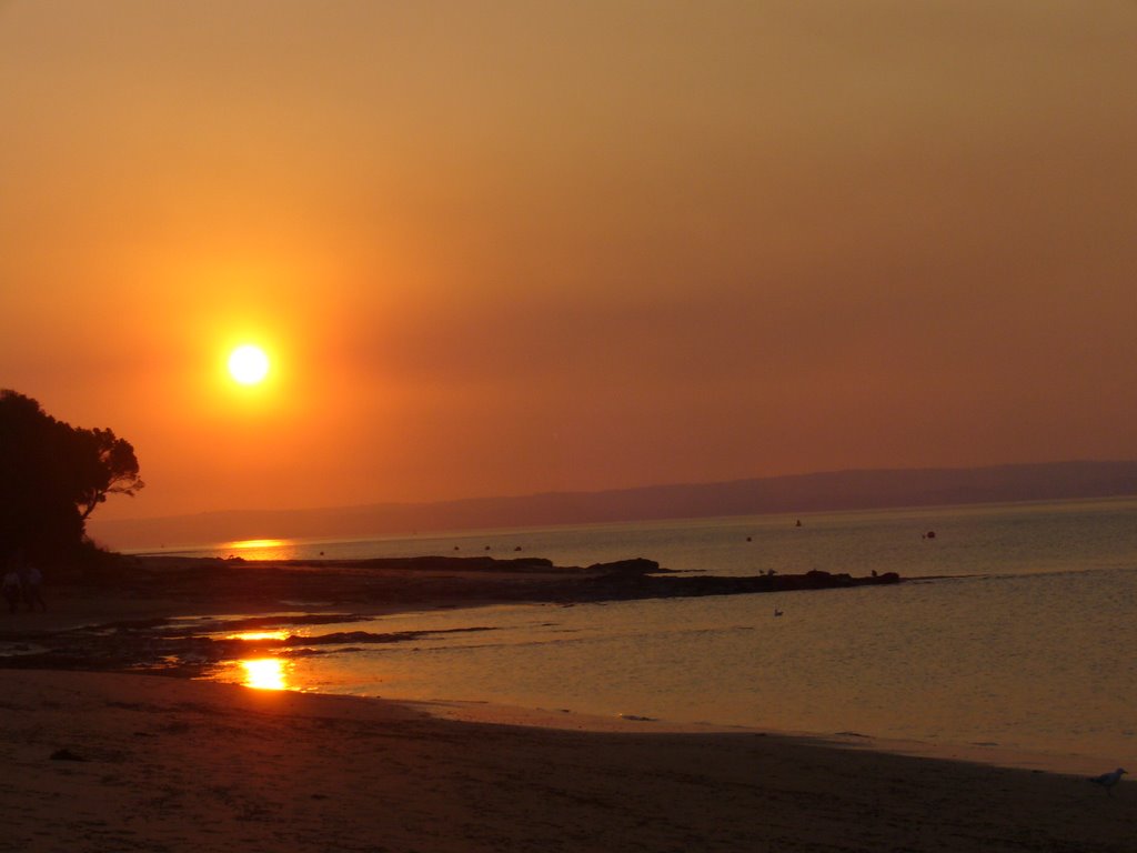
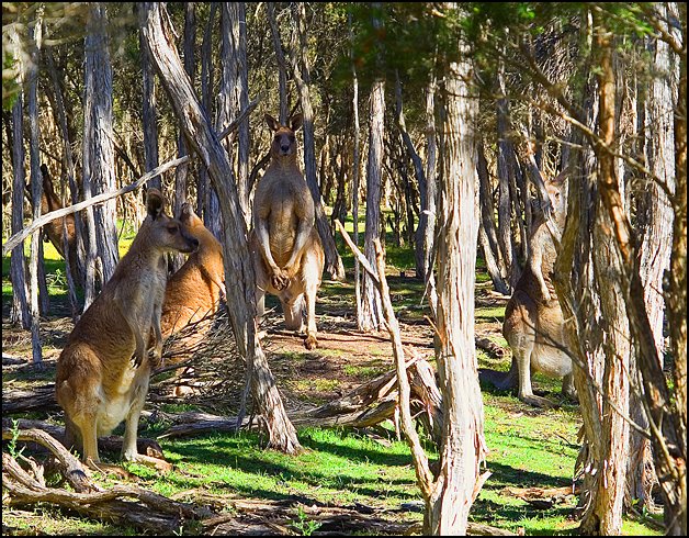
Photos of Brandy Creek
Brandy Creek Weather

Predicción: Light rain
Temperatura: 12.2°
Humedad: 90%
Hora actual: 12:15 AM
Amanece: 06:47 AM
Anochece: 05:43 PM
Sunset Strip, Australia
Latitude: -38.4954 // Longitude: 145.265
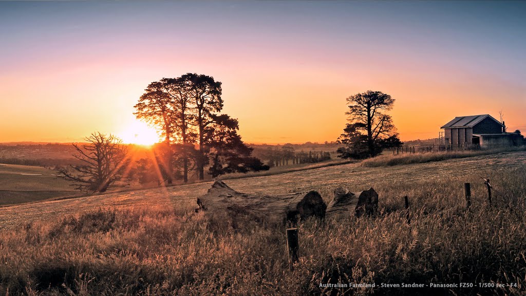
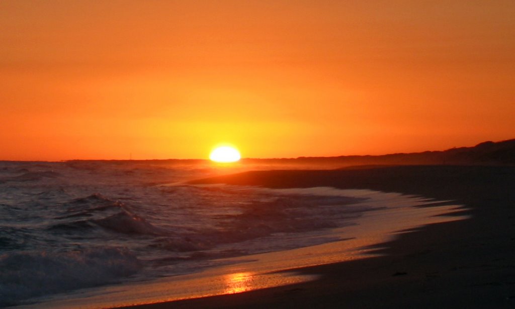
Photos of Sunset Strip
Sunset Strip Weather

Predicción: Scattered clouds
Temperatura: 13.6°
Humedad: 67%
Hora actual: 12:15 AM
Amanece: 06:50 AM
Anochece: 05:45 PM


